

Ride along with me...


Thread Starter
|
Captain

Joined: Oct 2005
Posts: 571
Likes: 9
From: The Summit, Queensland, Australia
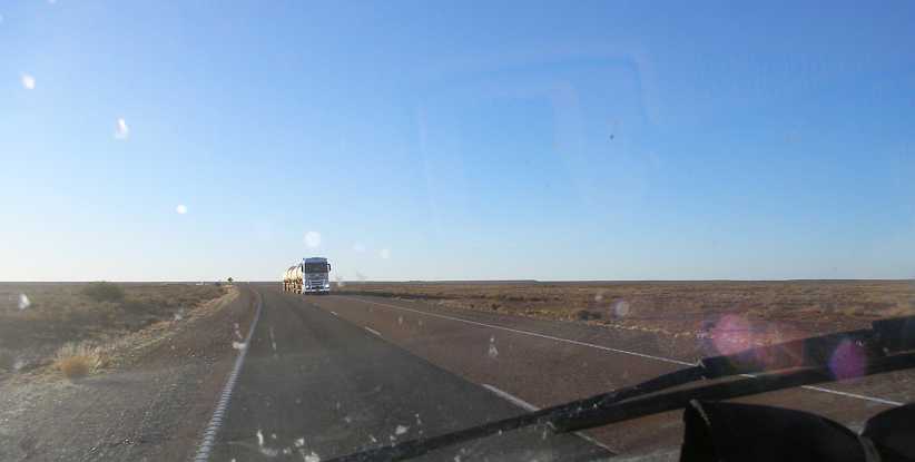
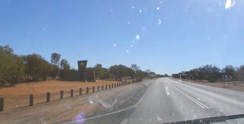
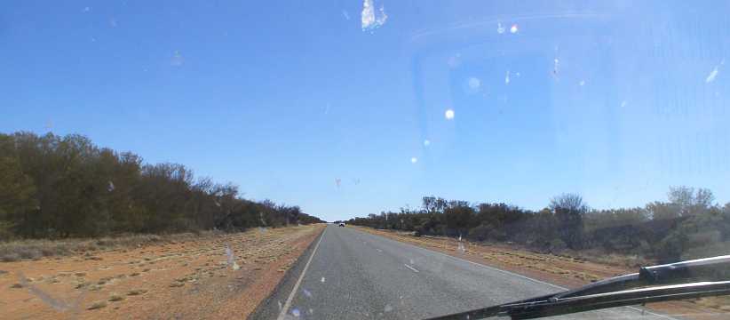
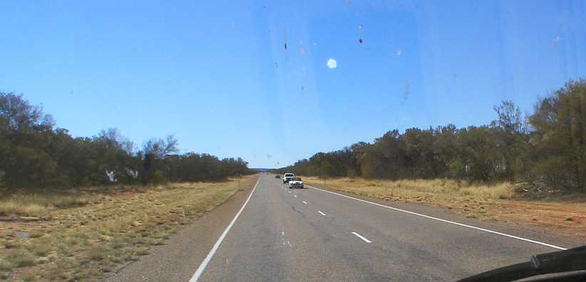
Running between Port Augusta and Port Pirie, for all that they don�t have big traffic volumes, was quite unlike driving up the road I�d just come from. I set out from my motel room and went to Port Pirie, stopping off for breakfast on the way. I was by no means alone on the road�
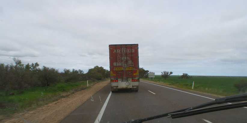
Road train. Being a Victorian-registered truck, this one was probably heading home from Perth or Darwin.
�but it was running smoothly. Just past the Port Germein turnoff I noted the presence of Harry�s Home Made Fine Foods, which seemed to get a fair bit of attention. I would later take a look at his offerings but found they weren�t the kind of thing I was looking for. Ultimately I would drive past him six times this weekend:
Harry�s Home Made. Supplies of items like jams, pickles, smoked fish brought out a lot of customers for Harry, but in my situation I couldn�t use any.
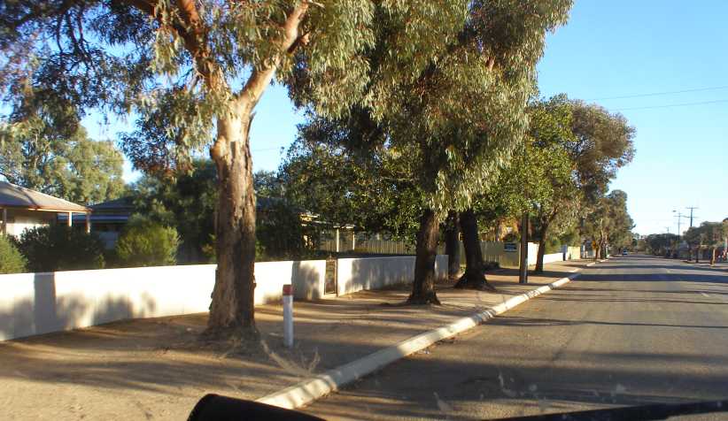
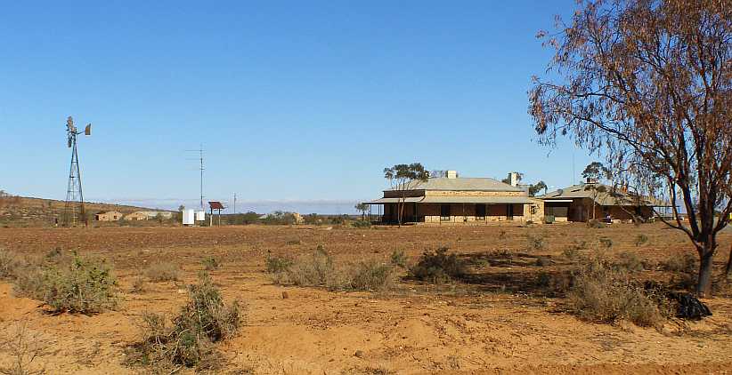
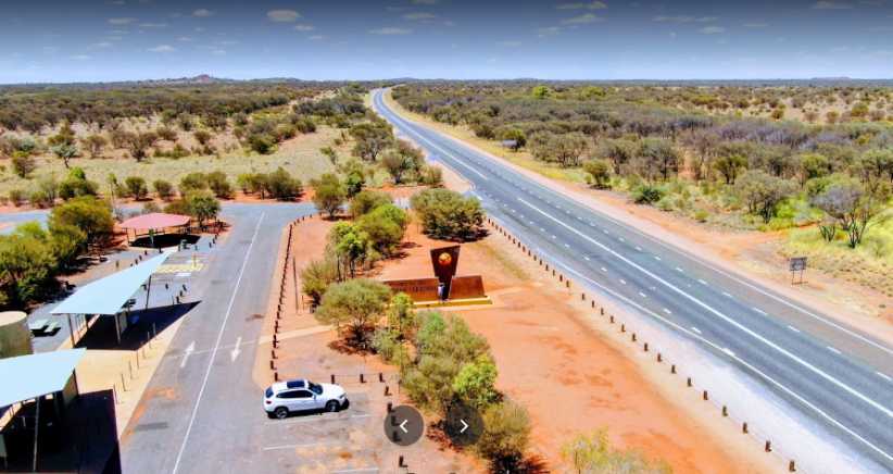
I went on to find the area in which I was to work in this town of about 14,100 population. It was a neat older-style �suburban� area where most homes had front verandahs�
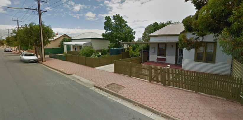
Quiet and neat neighbourhood. A street typical of the ones in which I worked this weekend, meeting many nice people.(GE)
�and some of the people I interviewed sat on the verandahs with me to do that. It was all very pleasant.
Back in Port Augusta I sought out a laundromat to bring my clothing inventory back up to scratch. I was there fairly late at night, but there were still some people around:
Whiteway Laundrymat. I parked in front of the motorcycle shop, much easier with the difficulty I was having selecting low and reverse gear with the dicky clutch.(GE)
They had large machines there, particularly the driers. I wasn�t to realise until the driers had done their stuff that they were very hard on the clothes and took all the colour out of the stitching lines of my good jeans.
Sunday saw me up early and charging the batteries for my work tablet. I was also getting paperwork done to keep things running smoothly before I headed out the door to return to Port Pirie. What I didn�t realise when I packed my gear into the van was that I�d left the tablet behind!
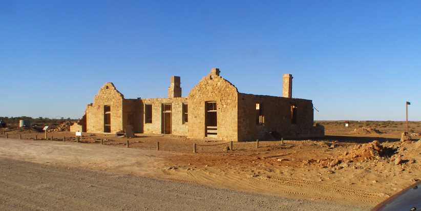
I drove all the way to Port Pirie, and I hadn�t left early at all because there was so little of the job to be done that day, before I found the tablet wasn�t with me. I decided to have a look around Port Pirie and find out a bit about the place.
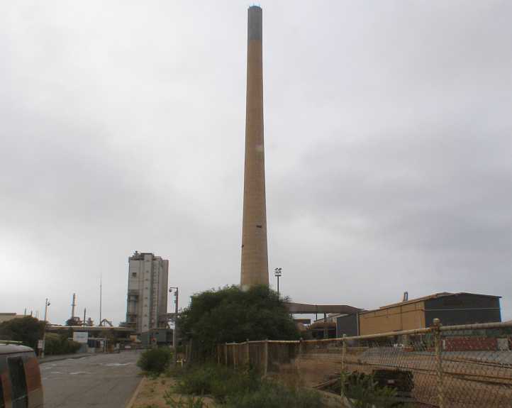
Smelter stack. As mentioned, Port Pirie was where the lead from Broken Hill was processed and shipped out for many years. This is the stack of the lead smelter.
The lead smelter here is one of the largest in the world, while there was also a facility for processing rare-earth oxides from beach sands, used to extract uranium from Radium Hill ores. Silver and gold are refined here too.
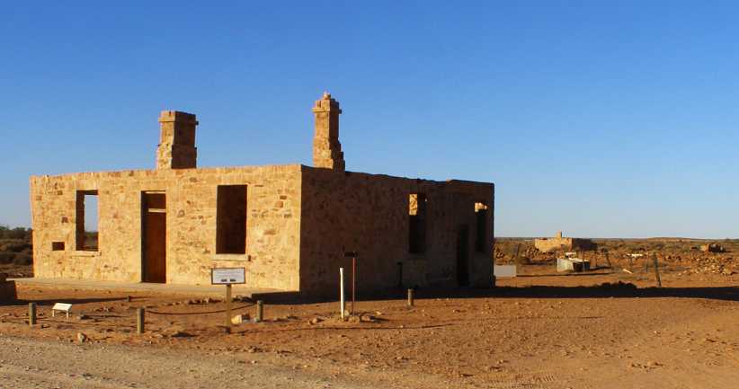
The old railway station has been turned into a museum by the local council. A fairly ornate station, as was the way with many such places in the late 1800s, my pic was spoiled by some works taking place:
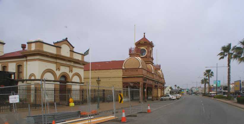
Station museum. This old railway station, as a museum, is a bit of a centrepiece for Port Pirie these days.
Remembering that in early times the railways here were all on 3�6� gauge tracks, the locomotives were (usually) smaller than those which ran on standard-gauge systems. This one, in fact, may have only been used on local work:
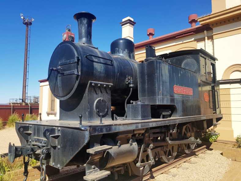
�Tank� locomotive. Tanks on the flanks of the boiler section carry the water needed to convert to steam.(Cordell Whittle)
I missed out on seeing any ships in the harbour, but one can see that huge loads would have been shipped out when needed. The silos�
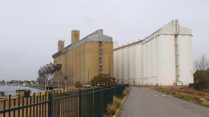
Grain silos. These silos had to cope with the grain grown in the areas around Peterborough as well as on the coastal strip.
�are immense and right on the berthing area for ships. And while no ships were about, the tug boats were there waiting for them:
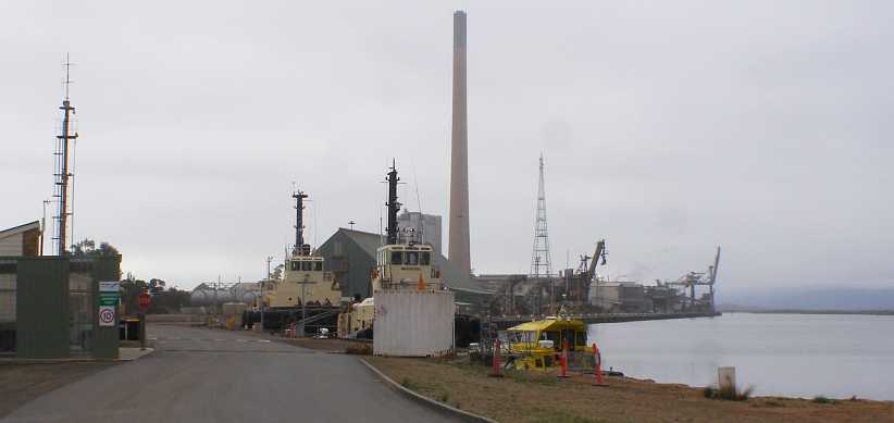
Tug boats. Nothing to do right now, but always ready for when ships come in to load the various cargo sent from the port.
While there�s a lot of parklands on the port side of the main road through town, this side is loaded down with commercial establishments. Woolworths� supermarket is actually down a lane to the left here, not actually fronting the main street.
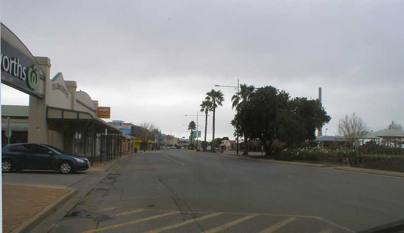
Commercial centre. Spreading out down the long main street, as well as in some of the back streets, the Port Pirie commercial establishments are many to serve the townspeople and people from outlying areas.
Still under the bleak skies I�d been seeing all day, I headed back to Port Augusta. Along the way I met up with another of the company�s field staff, George, and we had a brief chat to compare notes. He lives in Adelaide and was working this weekend in Port Augusta before going around to Whyalla and Port Lincoln, so he was �making hay� in the same way as I was�
As I neared Port Augusta�
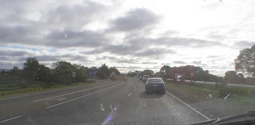
Roadworks into Port Augusta. Not a clear picture as I battle with the sun and auto-focus, this is on the dual-carriageway run into Port Augusta, where roadworks limited us to just one lane at this time.
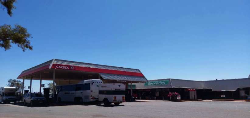
With all this back-and-forth driving I was watching the fuel prices very closely. A discount docket helped me with the Woolworths petrol station in Port Pirie, but I was also mindful of being topped right up � including refilling the drum I�d used � before I left here. And also for when I returned and passed through here on the way to Alice Springs.
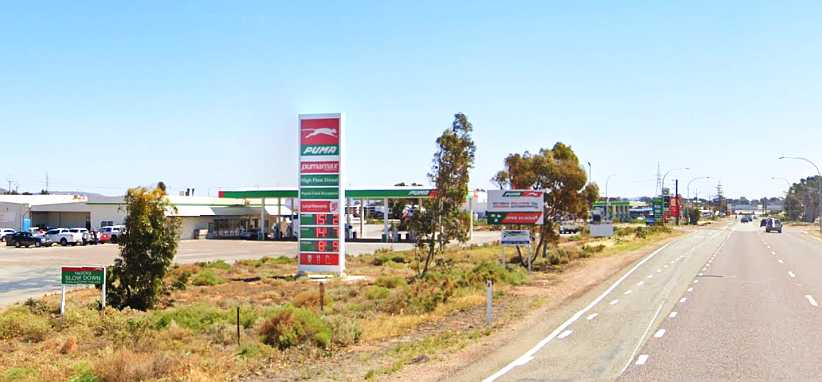
New Puma roadhouse. Only recently opened, this Puma roadhouse gave me the best price on fuel at Port Augusta as well as providing me with another choice for a meal.(GE)
I benefitted here from being an RACQ member as Puma give a 4c per litre discount for RACQ members, even outside Queensland. I knew there�d be little relief from high prices in the �Red Centre� and wanted to make sure I was carrying as much as I could when I went that way.
Port Augusta itself, a town of about 13,800 people, is divided by the top end of Spencer Gulf. A bridge was built across this waterway in the early twenties and, after upgrades, served until 1972. The bridge built at that time was, when I was there, awaiting duplication so the 4-lane highway through town went all the way rather than having a 2-lane stretch over the bridge.
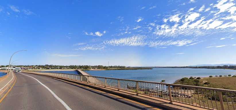
Bridge over the Gulf. First there was a ferry, then the little bridge to the right, I drove over this bridge but since then it has been duplicated.
Monday saw me up early and packed again � with the tablet on board this time � and back to Port Pirie to complete that job. Then, finally, on Monday afternoon I turned the nose of the Dodge to the North. The plan was to sweep right through the areas where I�d done my drops the previous week and pick up the completed questionnaires before driving back to Beltana and camping in the racecourse ready to do the clutch changeover.
This meant I had to be within reasonable reach of the first pickups on Tuesday morning, so I elected to camp at the Hawker caravan park. The first part of the drive out of Port Augusta, to Quorn, was more interesting.
Heading for Hawker. The road from Port Augusta took me out through Stirling North, then there was a range of hills ahead of me which the afternoon sun picks up here.
It becomes a fairly interesting road as it traverses the hills, the railway line running in the same direction takes a slightly different path and the paths intersect four or five times. This is the same bridge we saw on the way down:
Water crossing and rail bridge. A part of the water crossing is visible here as we approach the bridge and the bend under it.
Two of rail crossings are simple level crossings:
https://i.postimg.cc/90Lwm1nc/19-09-16-levelcrossing-GE.jpg[/img]
Level crossing. A downhill run onto this level crossing makes for a picturesque scene with the range in the background.
The second bridge is approached with the road running alongside the railway but on a lower level. This forms a big ess-bend under the railway at this bridge:
Ess-bend under bridge. We�re closer to the hills here and the railway has climbed well above the road. Good fun driving.(GE)
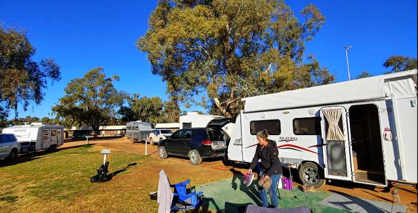
I arrived at the caravan park and was allocated a spot not too far from the camp kitchen, most of the other people there were families with their children on school holidays and so conversations were brief.
Caravan park. Located in a back street on the Eastern edge of Hawker, the caravan park was enjoying a busy holiday season.(GE)
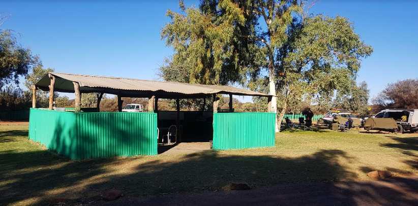
After hooking into the power and setting things up, I soon found my way around. There was a barbecue area:
Barbecues. Separate to the camp kitchen was this barbecue area, with toilets at the far end of the building.(Michael Bachmann)
Trees and rockeries, even gardens, separated the campsites so there was room for people to move between caravans and tents.
Campsites. Some trees gave shade and a neat layout made for comfortable camping.(Wayne Howard)
In short, everything was nice. And especially comfortable on this cold Winter�s night was the camp kitchen:
Camp kitchen. The cosy camp kitchen. Firewood for the wood-burning heater in the corner was supplied, there�s a TV up on the wall, out of frame there�s a cupboard with various cleaning items, a microwave, toaster and kettle. Also not in frame are a second stove and a refrigerator.(Gay Lee)
Over my dinner and my breakfast I met some nice people in this kitchen, we decided amongst ourselves how much wood was needed in the fire and enjoyed its glow. And after breakfast I left with another mission in view � to find some timber pieces which would help me when it was time to jack up the van and also the gearbox.
Streets of Hawker. the early morning sun threw shadows as I drove around looking for a likely source of bits of timber.
I found some, too, about a block and a half away from the caravan park. This place�
Junk place. Just the place! When I drove by there was a pile of pallets and other scrap timber outside the fence, I went inside and asked about taking some.(GE)
�had some �overflow� outside that set-back fence when I was there. The man inside was quite happy to tell me what I could take and what I couldn�t. I went away happy with what I�d picked up and again pointed the nose of the Dodge North in pursuit of a productive day picking up completed questionnaires.
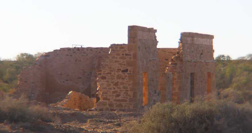
This took me past all those old houses again, including one I hadn�t photographed on the way down:
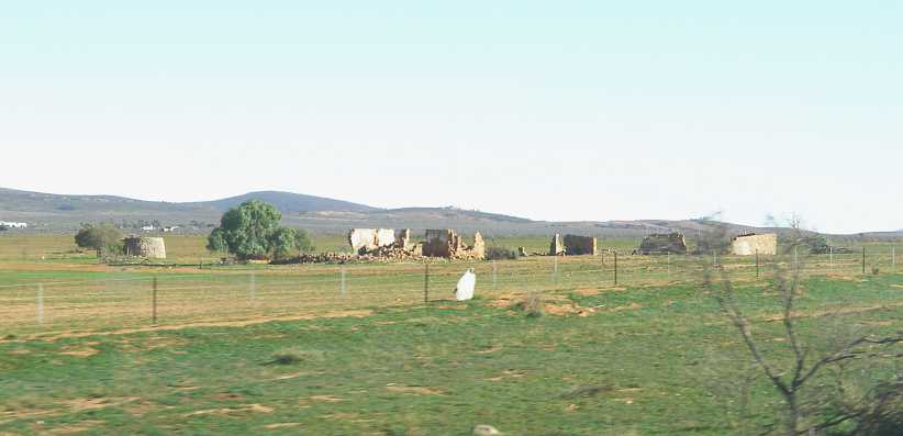
More ruined dreams. There�s another station homestead in the background, but the old place is well and truly beyond repair. Note the tank to the left.
And so I drove on, once again past Parachilna where the Prairie Hotel attracts good patronage:
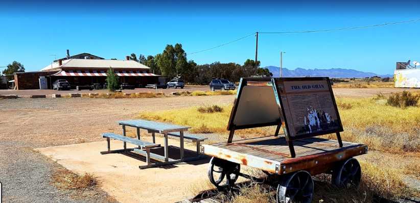
Prairie Hotel. The Ghan information board here is the same as the one at Beltana. Old mines and a gorge attract tourists to Parachilna.(GE)
Ahead of me was a busy day, but the relief at the prospect of fixing the clutch was a driving force�
Road train. Being a Victorian-registered truck, this one was probably heading home from Perth or Darwin.
�but it was running smoothly. Just past the Port Germein turnoff I noted the presence of Harry�s Home Made Fine Foods, which seemed to get a fair bit of attention. I would later take a look at his offerings but found they weren�t the kind of thing I was looking for. Ultimately I would drive past him six times this weekend:
Harry�s Home Made. Supplies of items like jams, pickles, smoked fish brought out a lot of customers for Harry, but in my situation I couldn�t use any.
I went on to find the area in which I was to work in this town of about 14,100 population. It was a neat older-style �suburban� area where most homes had front verandahs�
Quiet and neat neighbourhood. A street typical of the ones in which I worked this weekend, meeting many nice people.(GE)
�and some of the people I interviewed sat on the verandahs with me to do that. It was all very pleasant.
Back in Port Augusta I sought out a laundromat to bring my clothing inventory back up to scratch. I was there fairly late at night, but there were still some people around:
Whiteway Laundrymat. I parked in front of the motorcycle shop, much easier with the difficulty I was having selecting low and reverse gear with the dicky clutch.(GE)
They had large machines there, particularly the driers. I wasn�t to realise until the driers had done their stuff that they were very hard on the clothes and took all the colour out of the stitching lines of my good jeans.
Sunday saw me up early and charging the batteries for my work tablet. I was also getting paperwork done to keep things running smoothly before I headed out the door to return to Port Pirie. What I didn�t realise when I packed my gear into the van was that I�d left the tablet behind!
I drove all the way to Port Pirie, and I hadn�t left early at all because there was so little of the job to be done that day, before I found the tablet wasn�t with me. I decided to have a look around Port Pirie and find out a bit about the place.
Smelter stack. As mentioned, Port Pirie was where the lead from Broken Hill was processed and shipped out for many years. This is the stack of the lead smelter.
The lead smelter here is one of the largest in the world, while there was also a facility for processing rare-earth oxides from beach sands, used to extract uranium from Radium Hill ores. Silver and gold are refined here too.
The old railway station has been turned into a museum by the local council. A fairly ornate station, as was the way with many such places in the late 1800s, my pic was spoiled by some works taking place:
Station museum. This old railway station, as a museum, is a bit of a centrepiece for Port Pirie these days.
Remembering that in early times the railways here were all on 3�6� gauge tracks, the locomotives were (usually) smaller than those which ran on standard-gauge systems. This one, in fact, may have only been used on local work:
�Tank� locomotive. Tanks on the flanks of the boiler section carry the water needed to convert to steam.(Cordell Whittle)
I missed out on seeing any ships in the harbour, but one can see that huge loads would have been shipped out when needed. The silos�
Grain silos. These silos had to cope with the grain grown in the areas around Peterborough as well as on the coastal strip.
�are immense and right on the berthing area for ships. And while no ships were about, the tug boats were there waiting for them:
Tug boats. Nothing to do right now, but always ready for when ships come in to load the various cargo sent from the port.
While there�s a lot of parklands on the port side of the main road through town, this side is loaded down with commercial establishments. Woolworths� supermarket is actually down a lane to the left here, not actually fronting the main street.
Commercial centre. Spreading out down the long main street, as well as in some of the back streets, the Port Pirie commercial establishments are many to serve the townspeople and people from outlying areas.
Still under the bleak skies I�d been seeing all day, I headed back to Port Augusta. Along the way I met up with another of the company�s field staff, George, and we had a brief chat to compare notes. He lives in Adelaide and was working this weekend in Port Augusta before going around to Whyalla and Port Lincoln, so he was �making hay� in the same way as I was�
As I neared Port Augusta�
Roadworks into Port Augusta. Not a clear picture as I battle with the sun and auto-focus, this is on the dual-carriageway run into Port Augusta, where roadworks limited us to just one lane at this time.
With all this back-and-forth driving I was watching the fuel prices very closely. A discount docket helped me with the Woolworths petrol station in Port Pirie, but I was also mindful of being topped right up � including refilling the drum I�d used � before I left here. And also for when I returned and passed through here on the way to Alice Springs.
New Puma roadhouse. Only recently opened, this Puma roadhouse gave me the best price on fuel at Port Augusta as well as providing me with another choice for a meal.(GE)
I benefitted here from being an RACQ member as Puma give a 4c per litre discount for RACQ members, even outside Queensland. I knew there�d be little relief from high prices in the �Red Centre� and wanted to make sure I was carrying as much as I could when I went that way.
Port Augusta itself, a town of about 13,800 people, is divided by the top end of Spencer Gulf. A bridge was built across this waterway in the early twenties and, after upgrades, served until 1972. The bridge built at that time was, when I was there, awaiting duplication so the 4-lane highway through town went all the way rather than having a 2-lane stretch over the bridge.
Bridge over the Gulf. First there was a ferry, then the little bridge to the right, I drove over this bridge but since then it has been duplicated.
Monday saw me up early and packed again � with the tablet on board this time � and back to Port Pirie to complete that job. Then, finally, on Monday afternoon I turned the nose of the Dodge to the North. The plan was to sweep right through the areas where I�d done my drops the previous week and pick up the completed questionnaires before driving back to Beltana and camping in the racecourse ready to do the clutch changeover.
This meant I had to be within reasonable reach of the first pickups on Tuesday morning, so I elected to camp at the Hawker caravan park. The first part of the drive out of Port Augusta, to Quorn, was more interesting.
Heading for Hawker. The road from Port Augusta took me out through Stirling North, then there was a range of hills ahead of me which the afternoon sun picks up here.
It becomes a fairly interesting road as it traverses the hills, the railway line running in the same direction takes a slightly different path and the paths intersect four or five times. This is the same bridge we saw on the way down:
Water crossing and rail bridge. A part of the water crossing is visible here as we approach the bridge and the bend under it.
Two of rail crossings are simple level crossings:
https://i.postimg.cc/90Lwm1nc/19-09-16-levelcrossing-GE.jpg[/img]
Level crossing. A downhill run onto this level crossing makes for a picturesque scene with the range in the background.
The second bridge is approached with the road running alongside the railway but on a lower level. This forms a big ess-bend under the railway at this bridge:
Ess-bend under bridge. We�re closer to the hills here and the railway has climbed well above the road. Good fun driving.(GE)
I arrived at the caravan park and was allocated a spot not too far from the camp kitchen, most of the other people there were families with their children on school holidays and so conversations were brief.
Caravan park. Located in a back street on the Eastern edge of Hawker, the caravan park was enjoying a busy holiday season.(GE)
After hooking into the power and setting things up, I soon found my way around. There was a barbecue area:
Barbecues. Separate to the camp kitchen was this barbecue area, with toilets at the far end of the building.(Michael Bachmann)
Trees and rockeries, even gardens, separated the campsites so there was room for people to move between caravans and tents.
Campsites. Some trees gave shade and a neat layout made for comfortable camping.(Wayne Howard)
In short, everything was nice. And especially comfortable on this cold Winter�s night was the camp kitchen:
Camp kitchen. The cosy camp kitchen. Firewood for the wood-burning heater in the corner was supplied, there�s a TV up on the wall, out of frame there�s a cupboard with various cleaning items, a microwave, toaster and kettle. Also not in frame are a second stove and a refrigerator.(Gay Lee)
Over my dinner and my breakfast I met some nice people in this kitchen, we decided amongst ourselves how much wood was needed in the fire and enjoyed its glow. And after breakfast I left with another mission in view � to find some timber pieces which would help me when it was time to jack up the van and also the gearbox.
Streets of Hawker. the early morning sun threw shadows as I drove around looking for a likely source of bits of timber.
I found some, too, about a block and a half away from the caravan park. This place�
Junk place. Just the place! When I drove by there was a pile of pallets and other scrap timber outside the fence, I went inside and asked about taking some.(GE)
�had some �overflow� outside that set-back fence when I was there. The man inside was quite happy to tell me what I could take and what I couldn�t. I went away happy with what I�d picked up and again pointed the nose of the Dodge North in pursuit of a productive day picking up completed questionnaires.
This took me past all those old houses again, including one I hadn�t photographed on the way down:
More ruined dreams. There�s another station homestead in the background, but the old place is well and truly beyond repair. Note the tank to the left.
And so I drove on, once again past Parachilna where the Prairie Hotel attracts good patronage:
Prairie Hotel. The Ghan information board here is the same as the one at Beltana. Old mines and a gorge attract tourists to Parachilna.(GE)
Ahead of me was a busy day, but the relief at the prospect of fixing the clutch was a driving force�
Thread Starter
|
Captain
Joined: Oct 2005
Posts: 571
Likes: 9
From: The Summit, Queensland, Australia
My first call was at Nilpena Station, and I quickly established that I was going to be let down there. But I was still happy to get a couple more photos because the ones I�d taken initially didn�t show the extent of the workers� quarters on the next hill across from the main house:
Nilpena Station. Another long drive down the dusty driveway was virtually for nothing in relation to my work, but I wanted more photos of the place anyway.
Another thing I�d neglected to photograph on my first visit was this steel-wheeled wagon from the horse-drawn days:
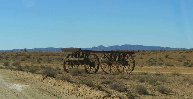
Steel wheels. So many wagons like this are largely of timber, so an all-steel version was worth a picture.
Back to Beltana I went, still no sign of the man who�d gone away for a few days, then � after confirming with Ron that I�d be back that night � into Leigh Creek. Effectively I was still giving myself two shots at getting these as I was able to get back there again late in the afternoon.
Bus stop. No buses ply the streets of Leigh Creek any more. I was by now becoming very familiar with the streets of this semi-ghost town and continued to wonder at the waste of it all.
After Leigh Creek it was off to Copley, past the open-cut mine which gave birth to both towns�
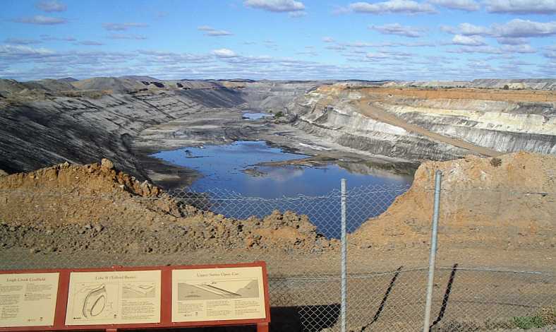
Open Cut. Now defunct, and no doubt without a sign of water in the bottom when I was there, the coal mine which once gave rise to lots of employment gives no more.(Tricia)
�though I didn�t see it as it�s a bit off the main road. Copley and Lyndhurst with their eccentricities and their own form of normality saw me getting the valuable papers collected with the hotel at Lyndhurst being a �collection centre� as previously arranged for some.
Next came something which bewildered me each time I drove past Lyndhurst and returned. Two horses were walking alongside the road, going one way other the other, one always following the other. Even though the lighting wasn�t good as the day was getting along, I had to get a shot of them:
Lyndhurst�s horses. Somewhat scrawny, these horses seemed to just walk up and down the road North of Lyndhurst, they were there each time I drove by.
And so I made it to Farina. I�d made up my mind (based on recommendations from people with whom I�d spoken) that I�d be buying something from the bakery when I got there, but everything was gone. I picked up the questionnaire and took some pics of the buildings around town which are a subject of a movement to restore significant buildings in the town.
Major reconstruction. This appeared to be the largest of the buildings being restored in Farina.
Set in stone. This building, like all the others is local stone. The area has plenty of the raw material available.
Some of the projects aren�t so far advanced:
A lot of work ahead. Scaffolding here shows that this building will soon be getting the attention the others already have.
Another view. The lowering sun thrusts its rays through the gaps and windows of this view, which emphasises the amount of work ahead of the restorers.
I drove back to Beltana in the dark and let myself into the racecourse. My first task was to drag the two railway sleepers across from a spot near the fence to the shed so at least I started setting myself up for the job in the morning. I turned on the power and ran my lead to a point at the old bar, cooked my dinner and spent a bit of time on the internet.
I certainly didn�t sleep in the next morning�
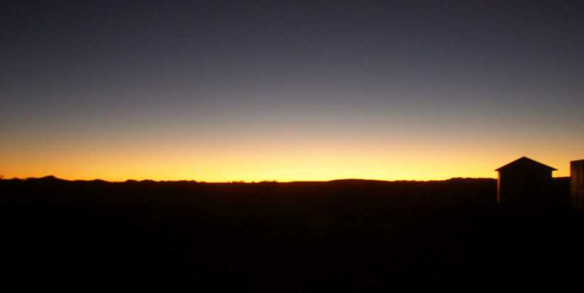
Beltana sunrise. Light and colour along the horizon announced the beginning of a new day in this remote outback area.
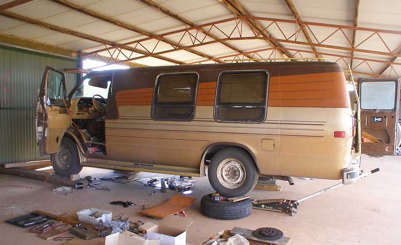
�and I mingled breakfast preparation with cutting up the pieces of wood I�d obtained the previous day, screwing a piece of plywood onto two pieces to form an elevated �runway� for my floor jack which, with my cradle mounted on it, would need to wheel the gearbox back far enough to enable the clutch plate to be changed.
In time Ron drove over in his utility and offered the use of his floor jack, which was bigger than mine and most welcome. He also left a creeper with me and told me he�d drop back later to see how I was getting along while I was assuring him that I would be able to do the job myself. After all, I�d changed the gearbox by myself just a few months earlier.
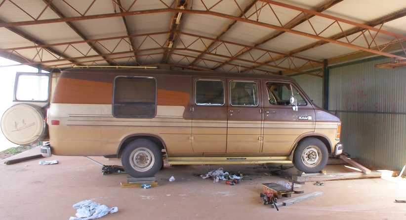
Van on blocks. The railway sleepers with other bits of timber are holding the van up at a workable height. The piece I�d screwed together to run my jack on is visible here, as is Ron�s jack under the rear of the van.
How I wish I�d pulled the clutch plate out when I�d changed the gearbox at home! None of this would be necessary, and not just because the plate was worn out:
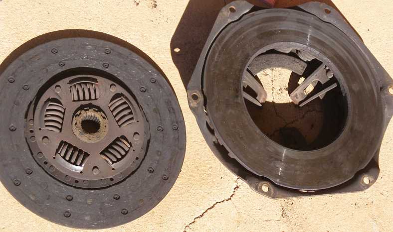
The problem exposed. It�s not just that the wear is down to the rivets, but that the gouging of the rivets is only on one segment of the pressure plate.
The pressure plate was out of whack. This explains why I needed so much clutch travel, one of the fingers was adjusted incorrectly. Like I said, if I�d done this at home I would have been much better off, I could have pulled another pressure plate out of my stash and avoided further trouble, now I had to reassemble it knowing it would remain faulty. Though the new clutch plate should ensure that I�d not get any more clutch slip:
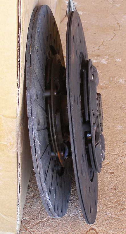
The difference. Quite plainly there�s a lot more thickness in the new clutch plate, it would certainly cure the clutch slip problem.
Ron came over again later in the day and we took the tailshaft to his place to use the vise to fit the new rear universal joint I�d got in Port Augusta. He also briefly helped me with some of the reassembly, while I�d managed to spill a bit of oil out of the gearbox as I juggled the refitting of the clutch. I had a lot of paper to mop it up, but the stain will remain forever on the floor of the unused bar of the disused racecourse.
Time to clean up. The job done, all the gear has to be packed away and the van brought back down to floor level.
The final thing to do was put some more oil into the gearbox to replace what I�d lost. Ron had all the gear at his place to pump it in and he had supplies so that was easy. But not so easy was convincing him that I should pay him for what I�d used. When I asked what he wanted he simply said, �Nothing!�
So I suggested a compromise. �Look, Ron, in Toowoomba we have lots of different suppliers of things you might need at some time,� I said to him, �and if you ever need anything and have trouble locating it, give me a call and I�ll chase it up for you. And if it�s not available in Toowoomba, it�s not far for me to go to Brisbane to get it for you.�
That appealed to him, I hope I can help him out of a jam one day like he helped me. After finalising that I went back down to Beltana to chase up that final questionnaire, which still wasn�t there, and then I looked forward to driving back to Hawker and getting myself a shower.
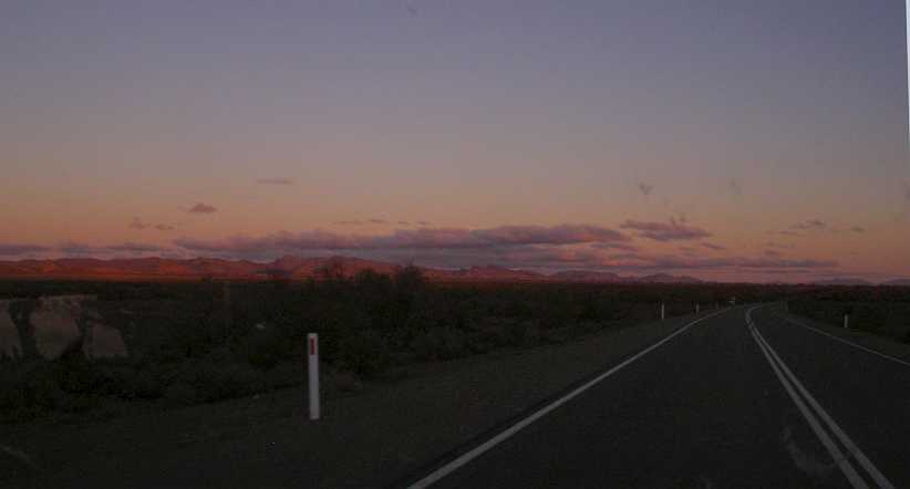
Driving into the dark. The sunset�s colours light up the Flinders Ranges as I begin my trip back to Hawker. It would obviously be dark before I got there.
And getting dark as I drove increased the risk of hitting a kangaroo. So when I caught up to a fuel tanker near Parachilna I decided to sit on his tail and use him as my �roo bar�.
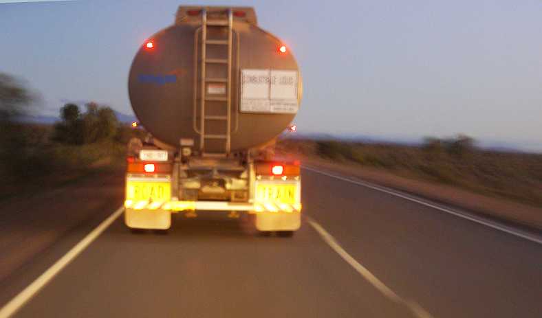
Protection. Sitting on the tail of this road train fuel tanker seemed like a good way to ensure I didn�t run into any kangaroos.
The problem was that the driver wasn�t happy with me sitting behind him. He slowed down. I slowed down, I was really keen to just sit in behind him. Then he pulled over and I had to go by and brave the elements for myself.
Arriving at Hawker I soon booked in and found myself a spot to camp, got my dinner and then went to the amenities block and had a refreshing shower. I finished the day using the wi-fi in the warmth of the heater in the camp kitchen and did some paperwork too. When morning came I would be putting a lot of miles behind me.
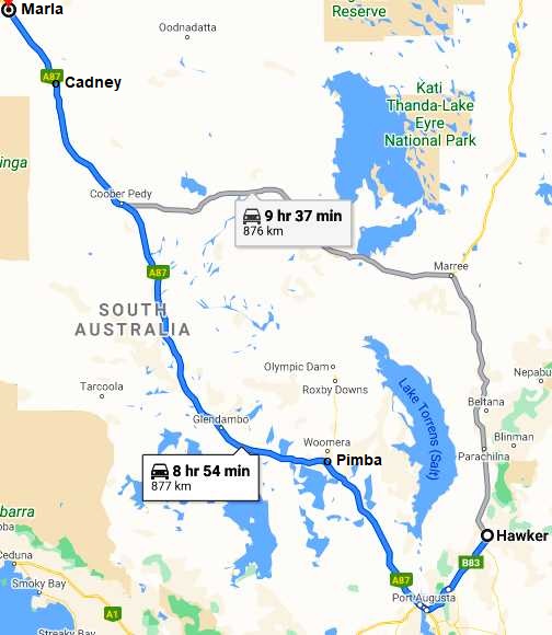
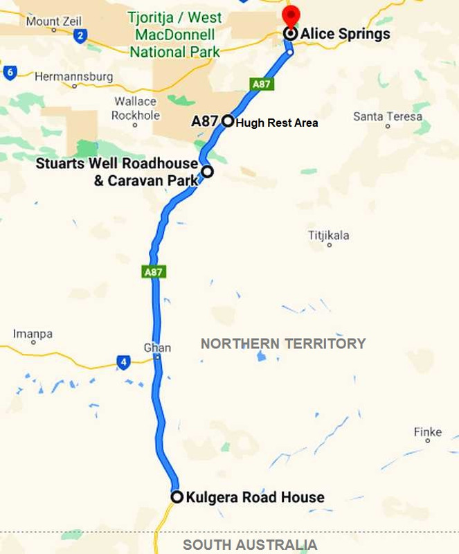
The map shows the choice I faced. As I related previously, the road from Marree across to Coober Pedy was in bad shape, while the longer drive through Port Augusta was smooth sealed road all the way. The difference � calculated from Beltana, which is where I would have been beginning the drive � was 250kms.
I didn�t rush away in the morning, spending a little time in the camp kitchen again, this time meeting new people and enjoying conversation with that warm fire in the corner. But the time had to come and I hit the road. One thing which had me wondering each time I drove this road was this dry creek:
Willochra Creek. Back at Melrose I�d photographed that nice green area where the farmer had ploughed around the trees � on the banks of Willochra Creek.
In fact this creek rises in Mount Remarkable and flows through a gap in the Flinders Ranges and crosses this area to ultimately flow into Lake Torrens. Like so many of the lakes shown on my little map, this is a salt lake in low-lying (300�/98m altitude) country which is generally dry. Like the creek.
Further down past Quorn�
Farmhouse. Now in an area with a bit more colour and promise, this farmhouse looked to be more likely to prosper than those out in the more arid area.
�and into that delightful section of road where it winds around a bit and plays tag with the railway line. The late-morning sun shone strongly on this rock face:
Sun on the rocks. Yes, we�ve seen this little bit of exposed rock before, but this time the sun was beaming in on it and casting strong shadows in the gullies around it.
Nearing Port Augusta now, I tried to get a shot to show the solar thermal power station again. It�s a long way away, but it�s visible there. The Gulf too, the last time I�d see it this trip, from now on it would be salt lakes and little else for a long time.

The Gulf again. The house on the hill would get this view all the time, but I�m sure it would get some strong winds at times too.
A stop at the Puma roadhouse to top up the fuel, then McDonalds for a quick bite, as I went through Port Augusta and then I headed out towards the Stuart Highway and the long drive to Alice Springs. This was the payoff for me, the kilometres rolling by paid at the going rate, a day of strong earnings. The clutch wasn�t slipping, though engagement of gears at rest was still a problem, but there wasn�t going to be much need for such things out on this road.
It was about 110 miles from Port Augusta to the Woomera turnoff. Woomera was the place where rockets were tested and demonstrated as the British and Australian defence forces worked in partnership to bolster their capabilities during the Cold War period. Today it�s still a defence base, but small.
A bit over half-distance in this drive I saw a Ford Econovan, something like this one�
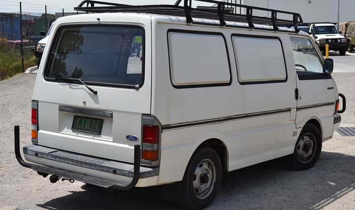
Ford Econovan. Born of Mazda�s partnership with Ford, this van isn�t the one I saw but similar. It dates from the nineties.
�stopped on the edge of the road. The young driver was walking around from the front to the driver�s door as I went by thinking little of it.
However, it would mean more to me when I pulled up at Spud�s Roadhouse at Pimba, right at the Woomera turnoff:
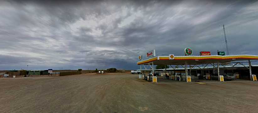
Spud�s Roadhouse. It was the Rest Area towards the left of this picture which attracted me. I pulled in there for a short break.(GE)
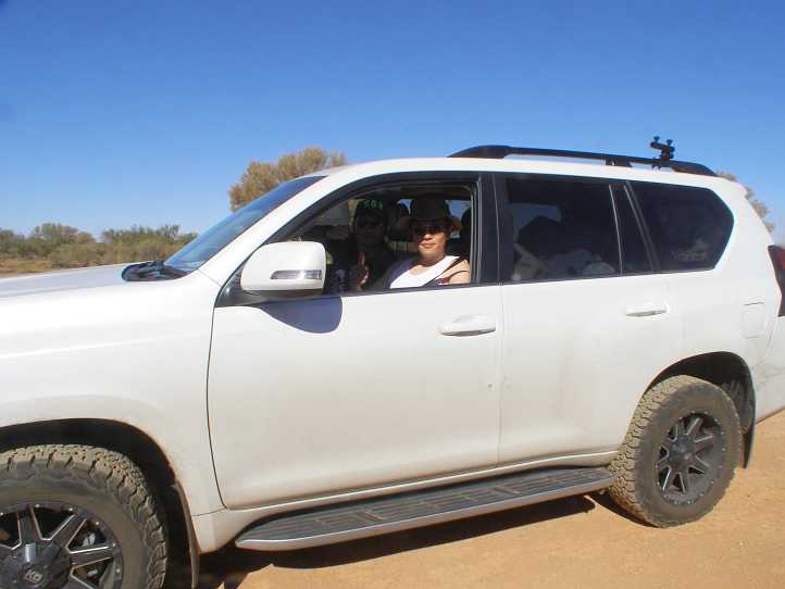
After a little walk around I wandered back to the van and prepared to drive on. But a young man came to the right hand window and asked if he could get a lift. I told him that I was all full up, the passenger�s seat, right next to where he was standing, was packed with gear, and he started to walk away.
Remorse came over me. I have frequently been in a position where I�ve needed a lift, I knew his situation well. Not only that, I�d just been afforded a tremendous amount of help to enable me to change the clutch and universal joint. How could I deny him a lift?
I jumped out and called him back. Establishing that it was he who I�d seen at the stopped Econovan, I made room in the back for both his gear and the many things of mine which were riding up front with me. We then discussed where he was going and how far I could take him. He was going to Broome, he�d be riding with me all the way to the Alice!
Lake Hart. One of the many dry salt lakes along the way, this one is probably the most visible from the Stuart Highway.
As we drove we talked. Finn Brown was his name, he was going to meet up with his girlfriend who had a job in Broome. He�d left Melbourne, where he�d been living and working from his van, and driven across to Port Augusta. Then the engine started to get noisy.
�Why didn�t you stop then, someone there could have fixed it for you?� I asked.
I guess he didn�t have enough money to contemplate that. �I just turned up the radio,� he replied. �Then it went �bang� and stopped where you saw me so I just grabbed the things I thought I had to have and left everything else there.�
�Everything else� included a refrigerator, his clothes, tools, almost everything he owned. A few times he would say to me that he�d left something small behind that he should have put into his bag.
The miles go on. The road was good and smooth, the scenery usually unchanging, traffic minimal.
I really would have liked to have turned around and helped him out by getting his valuables out of the van. Even if he had to sell them cheaply it would be something. We came to the conclusion that when we got to Alice Springs we�d find a means of getting him to Broome. In the meantime he learned that he couldn�t smoke in the van.
Finn offered to buy meals for me as we went, but we came to a different conclusion with that. We�d have one overnight stop before we got to Alice Springs and I told him he could crank the seat back and sleep there, he was okay with that � and with the use of some spare coverings I had to keep him warm. We had plenty of time to work out these arrangements.
Road train�s long shadows. The afternoon was wearing on as we passed this road train. The van was travelling well and we were both happy with our progress.
We were planning a quick stop at Coober Pedy as you simply couldn�t drive past a place as famous as this opal-mining town where many people live underground. Neither of us had ever been there and it was going to be important to be there before dark. It was about 227 miles (366kms) from Pimba, 337 miles (542kms) from Port Augusta and 400 miles (645kms) from Hawker. Not big miles, but we wouldn�t be stopping there for the night.
As the miles rolled along, the van�s odometer was recording them:
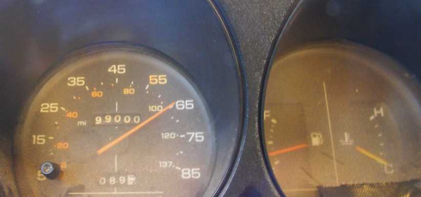
99,000 miles. The van would be getting close to its 100,000 miles by the time I reached Alice Springs.
It was a bit different to have someone in the passenger�s seat, though I was rather taken aback by Finn�s attitude to losing everything he had in his blind quest to reach his girlfriend. But he was from a different generation to me.
I still would have liked to have helped him more�
Nilpena Station. Another long drive down the dusty driveway was virtually for nothing in relation to my work, but I wanted more photos of the place anyway.
Another thing I�d neglected to photograph on my first visit was this steel-wheeled wagon from the horse-drawn days:
Steel wheels. So many wagons like this are largely of timber, so an all-steel version was worth a picture.
Back to Beltana I went, still no sign of the man who�d gone away for a few days, then � after confirming with Ron that I�d be back that night � into Leigh Creek. Effectively I was still giving myself two shots at getting these as I was able to get back there again late in the afternoon.
Bus stop. No buses ply the streets of Leigh Creek any more. I was by now becoming very familiar with the streets of this semi-ghost town and continued to wonder at the waste of it all.
After Leigh Creek it was off to Copley, past the open-cut mine which gave birth to both towns�
Open Cut. Now defunct, and no doubt without a sign of water in the bottom when I was there, the coal mine which once gave rise to lots of employment gives no more.(Tricia)
�though I didn�t see it as it�s a bit off the main road. Copley and Lyndhurst with their eccentricities and their own form of normality saw me getting the valuable papers collected with the hotel at Lyndhurst being a �collection centre� as previously arranged for some.
Next came something which bewildered me each time I drove past Lyndhurst and returned. Two horses were walking alongside the road, going one way other the other, one always following the other. Even though the lighting wasn�t good as the day was getting along, I had to get a shot of them:
Lyndhurst�s horses. Somewhat scrawny, these horses seemed to just walk up and down the road North of Lyndhurst, they were there each time I drove by.
And so I made it to Farina. I�d made up my mind (based on recommendations from people with whom I�d spoken) that I�d be buying something from the bakery when I got there, but everything was gone. I picked up the questionnaire and took some pics of the buildings around town which are a subject of a movement to restore significant buildings in the town.
Major reconstruction. This appeared to be the largest of the buildings being restored in Farina.
Set in stone. This building, like all the others is local stone. The area has plenty of the raw material available.
Some of the projects aren�t so far advanced:
A lot of work ahead. Scaffolding here shows that this building will soon be getting the attention the others already have.
Another view. The lowering sun thrusts its rays through the gaps and windows of this view, which emphasises the amount of work ahead of the restorers.
I drove back to Beltana in the dark and let myself into the racecourse. My first task was to drag the two railway sleepers across from a spot near the fence to the shed so at least I started setting myself up for the job in the morning. I turned on the power and ran my lead to a point at the old bar, cooked my dinner and spent a bit of time on the internet.
I certainly didn�t sleep in the next morning�
Beltana sunrise. Light and colour along the horizon announced the beginning of a new day in this remote outback area.
�and I mingled breakfast preparation with cutting up the pieces of wood I�d obtained the previous day, screwing a piece of plywood onto two pieces to form an elevated �runway� for my floor jack which, with my cradle mounted on it, would need to wheel the gearbox back far enough to enable the clutch plate to be changed.
In time Ron drove over in his utility and offered the use of his floor jack, which was bigger than mine and most welcome. He also left a creeper with me and told me he�d drop back later to see how I was getting along while I was assuring him that I would be able to do the job myself. After all, I�d changed the gearbox by myself just a few months earlier.
Van on blocks. The railway sleepers with other bits of timber are holding the van up at a workable height. The piece I�d screwed together to run my jack on is visible here, as is Ron�s jack under the rear of the van.
How I wish I�d pulled the clutch plate out when I�d changed the gearbox at home! None of this would be necessary, and not just because the plate was worn out:
The problem exposed. It�s not just that the wear is down to the rivets, but that the gouging of the rivets is only on one segment of the pressure plate.
The pressure plate was out of whack. This explains why I needed so much clutch travel, one of the fingers was adjusted incorrectly. Like I said, if I�d done this at home I would have been much better off, I could have pulled another pressure plate out of my stash and avoided further trouble, now I had to reassemble it knowing it would remain faulty. Though the new clutch plate should ensure that I�d not get any more clutch slip:
The difference. Quite plainly there�s a lot more thickness in the new clutch plate, it would certainly cure the clutch slip problem.
Ron came over again later in the day and we took the tailshaft to his place to use the vise to fit the new rear universal joint I�d got in Port Augusta. He also briefly helped me with some of the reassembly, while I�d managed to spill a bit of oil out of the gearbox as I juggled the refitting of the clutch. I had a lot of paper to mop it up, but the stain will remain forever on the floor of the unused bar of the disused racecourse.
Time to clean up. The job done, all the gear has to be packed away and the van brought back down to floor level.
The final thing to do was put some more oil into the gearbox to replace what I�d lost. Ron had all the gear at his place to pump it in and he had supplies so that was easy. But not so easy was convincing him that I should pay him for what I�d used. When I asked what he wanted he simply said, �Nothing!�
So I suggested a compromise. �Look, Ron, in Toowoomba we have lots of different suppliers of things you might need at some time,� I said to him, �and if you ever need anything and have trouble locating it, give me a call and I�ll chase it up for you. And if it�s not available in Toowoomba, it�s not far for me to go to Brisbane to get it for you.�
That appealed to him, I hope I can help him out of a jam one day like he helped me. After finalising that I went back down to Beltana to chase up that final questionnaire, which still wasn�t there, and then I looked forward to driving back to Hawker and getting myself a shower.
Driving into the dark. The sunset�s colours light up the Flinders Ranges as I begin my trip back to Hawker. It would obviously be dark before I got there.
And getting dark as I drove increased the risk of hitting a kangaroo. So when I caught up to a fuel tanker near Parachilna I decided to sit on his tail and use him as my �roo bar�.
Protection. Sitting on the tail of this road train fuel tanker seemed like a good way to ensure I didn�t run into any kangaroos.
The problem was that the driver wasn�t happy with me sitting behind him. He slowed down. I slowed down, I was really keen to just sit in behind him. Then he pulled over and I had to go by and brave the elements for myself.
Arriving at Hawker I soon booked in and found myself a spot to camp, got my dinner and then went to the amenities block and had a refreshing shower. I finished the day using the wi-fi in the warmth of the heater in the camp kitchen and did some paperwork too. When morning came I would be putting a lot of miles behind me.
The map shows the choice I faced. As I related previously, the road from Marree across to Coober Pedy was in bad shape, while the longer drive through Port Augusta was smooth sealed road all the way. The difference � calculated from Beltana, which is where I would have been beginning the drive � was 250kms.
I didn�t rush away in the morning, spending a little time in the camp kitchen again, this time meeting new people and enjoying conversation with that warm fire in the corner. But the time had to come and I hit the road. One thing which had me wondering each time I drove this road was this dry creek:
Willochra Creek. Back at Melrose I�d photographed that nice green area where the farmer had ploughed around the trees � on the banks of Willochra Creek.
In fact this creek rises in Mount Remarkable and flows through a gap in the Flinders Ranges and crosses this area to ultimately flow into Lake Torrens. Like so many of the lakes shown on my little map, this is a salt lake in low-lying (300�/98m altitude) country which is generally dry. Like the creek.
Further down past Quorn�
Farmhouse. Now in an area with a bit more colour and promise, this farmhouse looked to be more likely to prosper than those out in the more arid area.
�and into that delightful section of road where it winds around a bit and plays tag with the railway line. The late-morning sun shone strongly on this rock face:
Sun on the rocks. Yes, we�ve seen this little bit of exposed rock before, but this time the sun was beaming in on it and casting strong shadows in the gullies around it.
Nearing Port Augusta now, I tried to get a shot to show the solar thermal power station again. It�s a long way away, but it�s visible there. The Gulf too, the last time I�d see it this trip, from now on it would be salt lakes and little else for a long time.
The Gulf again. The house on the hill would get this view all the time, but I�m sure it would get some strong winds at times too.
A stop at the Puma roadhouse to top up the fuel, then McDonalds for a quick bite, as I went through Port Augusta and then I headed out towards the Stuart Highway and the long drive to Alice Springs. This was the payoff for me, the kilometres rolling by paid at the going rate, a day of strong earnings. The clutch wasn�t slipping, though engagement of gears at rest was still a problem, but there wasn�t going to be much need for such things out on this road.
It was about 110 miles from Port Augusta to the Woomera turnoff. Woomera was the place where rockets were tested and demonstrated as the British and Australian defence forces worked in partnership to bolster their capabilities during the Cold War period. Today it�s still a defence base, but small.
A bit over half-distance in this drive I saw a Ford Econovan, something like this one�
Ford Econovan. Born of Mazda�s partnership with Ford, this van isn�t the one I saw but similar. It dates from the nineties.
�stopped on the edge of the road. The young driver was walking around from the front to the driver�s door as I went by thinking little of it.
However, it would mean more to me when I pulled up at Spud�s Roadhouse at Pimba, right at the Woomera turnoff:
Spud�s Roadhouse. It was the Rest Area towards the left of this picture which attracted me. I pulled in there for a short break.(GE)
After a little walk around I wandered back to the van and prepared to drive on. But a young man came to the right hand window and asked if he could get a lift. I told him that I was all full up, the passenger�s seat, right next to where he was standing, was packed with gear, and he started to walk away.
Remorse came over me. I have frequently been in a position where I�ve needed a lift, I knew his situation well. Not only that, I�d just been afforded a tremendous amount of help to enable me to change the clutch and universal joint. How could I deny him a lift?
I jumped out and called him back. Establishing that it was he who I�d seen at the stopped Econovan, I made room in the back for both his gear and the many things of mine which were riding up front with me. We then discussed where he was going and how far I could take him. He was going to Broome, he�d be riding with me all the way to the Alice!
Lake Hart. One of the many dry salt lakes along the way, this one is probably the most visible from the Stuart Highway.
As we drove we talked. Finn Brown was his name, he was going to meet up with his girlfriend who had a job in Broome. He�d left Melbourne, where he�d been living and working from his van, and driven across to Port Augusta. Then the engine started to get noisy.
�Why didn�t you stop then, someone there could have fixed it for you?� I asked.
I guess he didn�t have enough money to contemplate that. �I just turned up the radio,� he replied. �Then it went �bang� and stopped where you saw me so I just grabbed the things I thought I had to have and left everything else there.�
�Everything else� included a refrigerator, his clothes, tools, almost everything he owned. A few times he would say to me that he�d left something small behind that he should have put into his bag.
The miles go on. The road was good and smooth, the scenery usually unchanging, traffic minimal.
I really would have liked to have turned around and helped him out by getting his valuables out of the van. Even if he had to sell them cheaply it would be something. We came to the conclusion that when we got to Alice Springs we�d find a means of getting him to Broome. In the meantime he learned that he couldn�t smoke in the van.
Finn offered to buy meals for me as we went, but we came to a different conclusion with that. We�d have one overnight stop before we got to Alice Springs and I told him he could crank the seat back and sleep there, he was okay with that � and with the use of some spare coverings I had to keep him warm. We had plenty of time to work out these arrangements.
Road train�s long shadows. The afternoon was wearing on as we passed this road train. The van was travelling well and we were both happy with our progress.
We were planning a quick stop at Coober Pedy as you simply couldn�t drive past a place as famous as this opal-mining town where many people live underground. Neither of us had ever been there and it was going to be important to be there before dark. It was about 227 miles (366kms) from Pimba, 337 miles (542kms) from Port Augusta and 400 miles (645kms) from Hawker. Not big miles, but we wouldn�t be stopping there for the night.
As the miles rolled along, the van�s odometer was recording them:
99,000 miles. The van would be getting close to its 100,000 miles by the time I reached Alice Springs.
It was a bit different to have someone in the passenger�s seat, though I was rather taken aback by Finn�s attitude to losing everything he had in his blind quest to reach his girlfriend. But he was from a different generation to me.
I still would have liked to have helped him more�
Thread Starter
|
Captain
Joined: Oct 2005
Posts: 571
Likes: 9
From: The Summit, Queensland, Australia
As the miles rolled under the van we saw a couple of signs indicating that we were crossing the territory of quite large cattle and sheep stations. The cattle and/or sheep are so sparsely spread across the arid country that they don�t fence them in, which means they could get onto the road and be a problem there.
The Mount Clarence Station actually surrounds the Coober Pedy area:
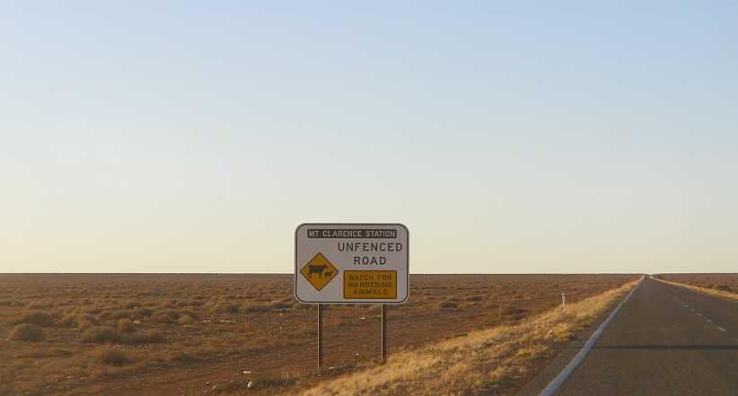
Mt Clarence Station. It�s so desolate that you wouldn�t think it worthwhile trying to farm here. Which is why, of course, the Mt Clarence Station covers 10,617 square kms or 4,099 square miles or 2,623,690 acres.
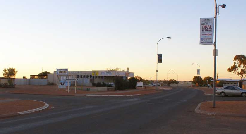
The shadows were certainly long and the colour coming into the sky as we got to the Coober Pedy turnoff. As we drove towards the main part of town the Stuart Range Outback Resort beckoned, but we still had to cover more ground this day.
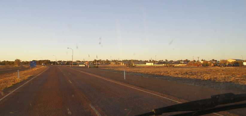
Entering Coober Pedy. With the sun now low we drove into town past the Stuart Range resort and its temptations.
A quick look up a side street revealed that this place was just like Lightning Ridge, loaded down with old machinery and vehicles:
Old stuff. A truck-mounted drilling rig and a defunct Land Rover are joined by other disused cars in the same fashion as I saw at Lightning Ridge.
And there�s more. The VW looks like it�s been pursuaded to do some dashing across the desert, the compressor�s a serious bit of kit and the neighbours are probably very patient.
Heading down the main street into town revealed the Umoona Opal Mine and Museum, a big attraction of Coober Pedy�s and even this late in the day there were people there looking around.
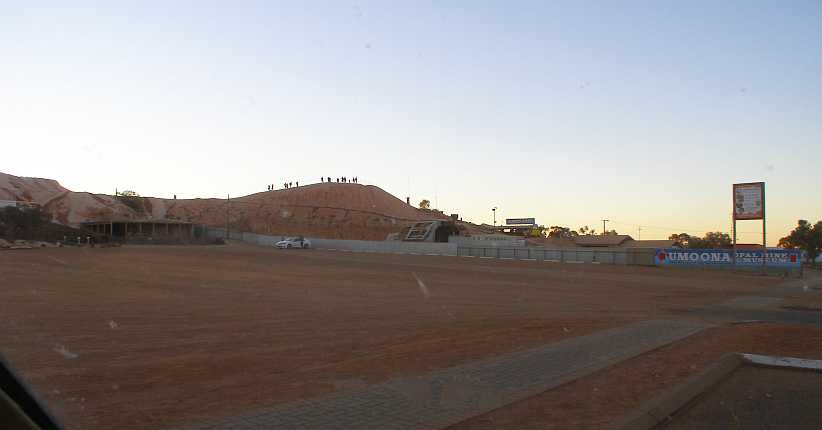
Piles of dirt. Years of tunnelling and excavating have resulted in mountains around the Umoona minesite.
There�s a short video which shows more of what it�s like on this web page�
https://www.umoonaopalmine.com.au/
�including the underground tunnels and displays. Well worth a quick look.
Opal specialists. Not only selling the opals, this place also cuts them, which would be a specialised occupation.
Further down we pulled up and parked opposite a newsagent and small supermarket. A woman walked up and got all excited about my van and we had an animated conversation for a while, but she had children with her and had to get home and make dinner for them.
The main supermarket is up the top of the hill in the background, but Finn and I weren�t doing much shopping here as I was pretty well equipped for what we had ahead of us.
Shops. This is a busy part of the town, though the shops are spread out a bit and the main supermarket is way back up the top of the hill.
There were more relics which had seen service over the decades lying around here, too:
Well-equipped Dodge. With an engine on the back to drive the machinery, this looked like it hadn�t been used for a long time. And without seeing it working I don�t think I�d be able to tell what its purpose might have been.
Really, we weren�t seeing much because of the lack of time. But getting an impression, all the same, of what the place was all about.
Excavated or built up? I don�t know if this parking lot behind the little supermarket is level because it�s been excavated or if the area around it has resulted from fill from opal mining.
And so, having refuelled, we left Coober Pedy and headed off towards Alice Springs. Which was still 428 miles (688kms) away. Darkness soon enveloped us as we headed up the Stuart Highway with eyes peeled looking out for stray livestock and, of course, kangaroos.
We began to see signs about a place called Cadney Homestead � fuel, caravan park, food � and so on. It wasn�t mentioned on the map, but the signs were there and after about an hour and a half on the road we saw the lights in the distance. When we pulled in there we�d put an extra 95 miles (153kms) behind us.
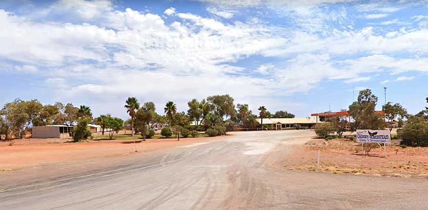
Cadney Homestead. This place was packed when we got there, the caravan park to the left included.(GE)
So had a lot of other people and the place was alive, the caravan park was full and it was clear that we were in the peak of the travel season in Central Australia. Finn bought something for each of us to eat and we headed off, knowing that Marla was about fifty miles further up the road.
We were not travelling late at all by my standards, and Finn didn�t care as long as he was getting closer to his girlfriend. Once again the lights in the distance showed themselves across the desert and we wheeled into the Marla Travellers� Rest:
Marla Travellers� Rest. Another busy place, but much larger than Cadney Homestead, this would be home for the night.(Shannon Walsh)
The place was so large and spread out that it took a little while to actually find where to book in, but we accomplished that. Strangely, the camping fee was per person, but at $10 each it still came to about the same figure as I�d been paying elsewhere.
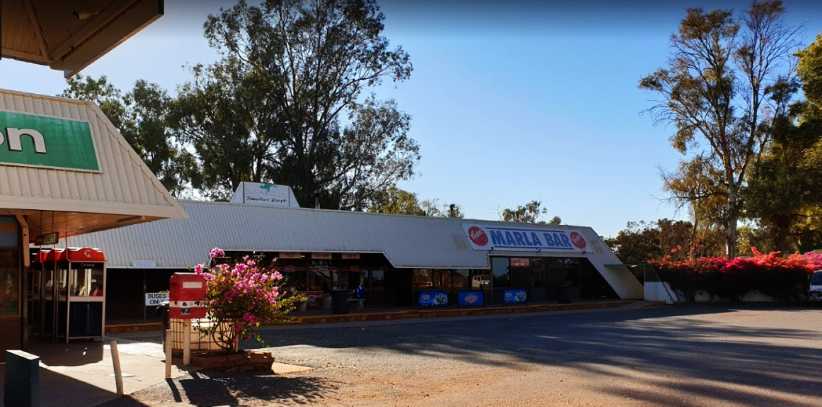
Marla Bar. Another part of the Travellers� Rest was the bar, which was pretty busy too.(Fing Chiew)
Then we had to find where to settle in, with the instructions I�d been given when I paid not making much sense when I was out there driving around in the dark. But in the end we worked it out and parked in a spot near some amenities.
Crowded Marla. There were people everywhere, possibly more so than in this picture I�ve taken from the internet. And they have power, we didn�t.(Regan Turner)
That�s right, we missed out on having a powered site. But there was power in the camp kitchen and I took my laptop over there to go online for a little while. Keeping up with e.mails and forums was something I didn�t want to miss out on. The camp kitchen was pretty basic:
Camp kitchen. Still complete with most amenities found elsewhere, this camp kitchen had mostly older equipment. But it did the job.(Terry Davis)
It was also located in the area where those tenting were placed. And it was these people I met over breakfast when I again took the laptop down there to go online while Finn went for a shower. Which was to introduce another complication, as in repacking the van I forgot my laptop.
I�d driven away from the Travellers� Rest and just going up through the gears when I realised I�d forgotten it. A quick U-turn and I rushed back, going way quicker than one might normally do down the front road between the highway and the front section of the place. I was running down the gravel to the side here because there were cars parked on the bitumen�
Front road. It was down this gravel between the bitumen and the trees that I raced back to rescue my laptop.
�and there was a bit of a rise there which actually got us airborne briefly.
As I reached the point where I needed to turn into the camping area there was a girl came running out, a girl I realised later was from the family I�d been talking to in the camp kitchen. But I didn�t realise that at first and continued into the camping area and rushed to the camp kitchen. Where the rest of the family were glad to see me come back to get the laptop. The daughter had been chasing after me to let me know.
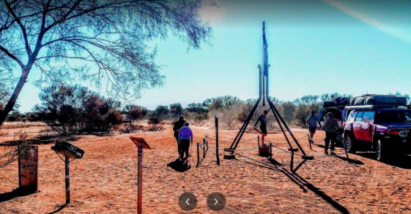
That bit of excitement being over and done, I once again hit the highway to head North. My hope was that I�d be able to drive out to the Lambert Centre�
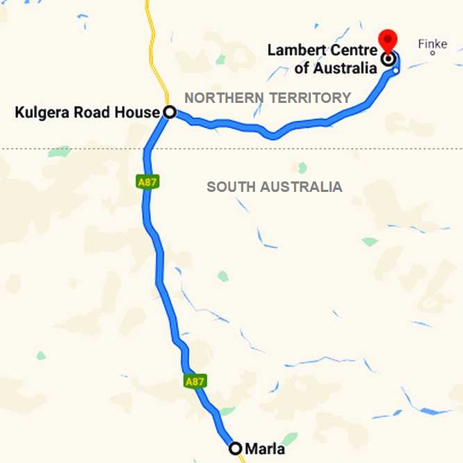
�as I�d learned it�s the Geographic Centre of Australia. Way back in the early part of my 2014 trip around America I�d gone to Rugby in North Dakota to see the Geographic Centre of North America and I�d taken a couple of pictures of my van there. It was, in fact, my �excuse� for going to North Dakota.
And with my van having gone to the Geographic Centre of North America, it would be wrong if it didn�t go to the Geographic Centre of Australia when I would be so close. It was a diversion which would take us about 146kms off our course, with the last 12kms being marked �4WD only�, but I had to try.
Shapes in the distance. Different to the endless driving with merely flat country ahead, these ranges of hills helped us along as we piled on the many miles of mostly-straight roads.
It was, though, not all that far to Kulgera, where the Finke River road turned off the Stuart Highway to head to the Lambert Centre, about 110 miles (179kms). Still, the sameness of the scenery tends to mean you notice even little changes. Like the colour of the road surface, for instance!
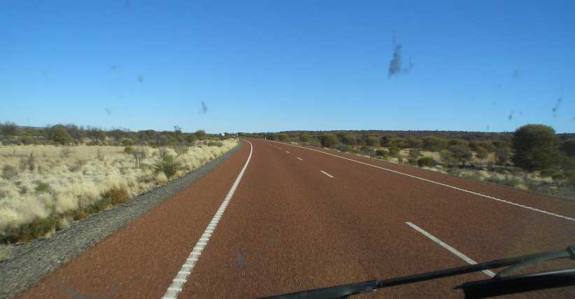
Change of colour. The scrub and dry grass around us rarely changed in appearance, but we did notice when the colour of the road surface changed from blue to red.
The road condition continued to be very good. Smooth and consistent, much better than many roads I�d been on in the Eastern states. And it remained so all the way, even when we crossed the border into the Northern Territory.
The border came up just 20kms before Kulgera�
Into the Northern Territory. We were driving into the sun by the time we got to the border, my picture isn�t too flash between the sun�s presence and the usual autofocus problem.
�and we weren�t stopping. After all, we were due to stop at Kulgera, just a few minutes up the road. But to show the provision for people to stop at the border I�ve dug up a picture from the internet which appears to have come from a drone:
Border Rest Area. A comprehensive Rest Area with plenty of parking and shaded places, toilets and a water tank is an invitation to travellers to stop at the border. (Satheesh-Agatheeswaran)
And we duly pulled in to the Kulgera Roadhouse. This was about as big as Cadney, a shop, hotel, camping ground, fuel bowsers and picnic area, it wasn�t nearly as big as Marla, which has a small town behind it.
Kulgera Roadhouse. Like many of the places along the Stuart Highway, geared to providing for travellers with most of their needs.(GE)
We had a quick snack on a table in the shade of one of those trees and looked around the shop�
Family travellers and shoes. The evidence of school holidays was plentiful in the kind of travelling rigs which pulled up while I don�t know what the story is with the rotary clothesline loaded down with old shoes the other side of them.
�and read up on some information about the Lambert Centre:
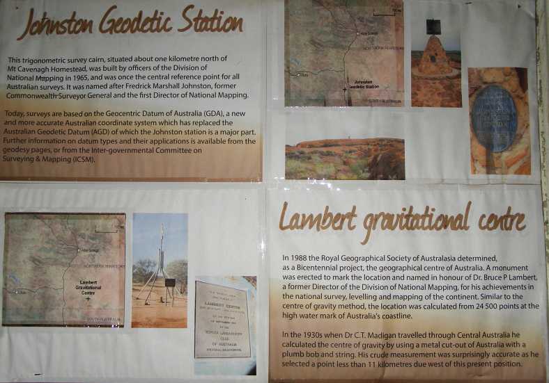
Lambert Centre information. All I needed to know except whether or not I could get there with my van.
I posed the van at the Finke Road sign�
The van at the Finke Road sign. This could be a momentous day in the van�s life. No other vehicle would ever have been to both Rugby and the Lambert Centre.
�Which looked like it was commonly plastered with stickers and occasionally they were peeled off:
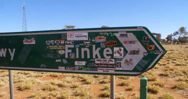
Sign plastered. Lots of people appear to want their own stickers on the sign, possibly because it points to the location of the Finke Desert Race, an off-road event which caters for all kinds of vehicles.
It was now time to make a decision on whether or not I should chance driving out to the Lambert Centre...
The Mount Clarence Station actually surrounds the Coober Pedy area:
Mt Clarence Station. It�s so desolate that you wouldn�t think it worthwhile trying to farm here. Which is why, of course, the Mt Clarence Station covers 10,617 square kms or 4,099 square miles or 2,623,690 acres.
The shadows were certainly long and the colour coming into the sky as we got to the Coober Pedy turnoff. As we drove towards the main part of town the Stuart Range Outback Resort beckoned, but we still had to cover more ground this day.
Entering Coober Pedy. With the sun now low we drove into town past the Stuart Range resort and its temptations.
A quick look up a side street revealed that this place was just like Lightning Ridge, loaded down with old machinery and vehicles:
Old stuff. A truck-mounted drilling rig and a defunct Land Rover are joined by other disused cars in the same fashion as I saw at Lightning Ridge.
And there�s more. The VW looks like it�s been pursuaded to do some dashing across the desert, the compressor�s a serious bit of kit and the neighbours are probably very patient.
Heading down the main street into town revealed the Umoona Opal Mine and Museum, a big attraction of Coober Pedy�s and even this late in the day there were people there looking around.
Piles of dirt. Years of tunnelling and excavating have resulted in mountains around the Umoona minesite.
There�s a short video which shows more of what it�s like on this web page�
https://www.umoonaopalmine.com.au/
�including the underground tunnels and displays. Well worth a quick look.
Opal specialists. Not only selling the opals, this place also cuts them, which would be a specialised occupation.
Further down we pulled up and parked opposite a newsagent and small supermarket. A woman walked up and got all excited about my van and we had an animated conversation for a while, but she had children with her and had to get home and make dinner for them.
The main supermarket is up the top of the hill in the background, but Finn and I weren�t doing much shopping here as I was pretty well equipped for what we had ahead of us.
Shops. This is a busy part of the town, though the shops are spread out a bit and the main supermarket is way back up the top of the hill.
There were more relics which had seen service over the decades lying around here, too:
Well-equipped Dodge. With an engine on the back to drive the machinery, this looked like it hadn�t been used for a long time. And without seeing it working I don�t think I�d be able to tell what its purpose might have been.
Really, we weren�t seeing much because of the lack of time. But getting an impression, all the same, of what the place was all about.
Excavated or built up? I don�t know if this parking lot behind the little supermarket is level because it�s been excavated or if the area around it has resulted from fill from opal mining.
And so, having refuelled, we left Coober Pedy and headed off towards Alice Springs. Which was still 428 miles (688kms) away. Darkness soon enveloped us as we headed up the Stuart Highway with eyes peeled looking out for stray livestock and, of course, kangaroos.
We began to see signs about a place called Cadney Homestead � fuel, caravan park, food � and so on. It wasn�t mentioned on the map, but the signs were there and after about an hour and a half on the road we saw the lights in the distance. When we pulled in there we�d put an extra 95 miles (153kms) behind us.
Cadney Homestead. This place was packed when we got there, the caravan park to the left included.(GE)
So had a lot of other people and the place was alive, the caravan park was full and it was clear that we were in the peak of the travel season in Central Australia. Finn bought something for each of us to eat and we headed off, knowing that Marla was about fifty miles further up the road.
We were not travelling late at all by my standards, and Finn didn�t care as long as he was getting closer to his girlfriend. Once again the lights in the distance showed themselves across the desert and we wheeled into the Marla Travellers� Rest:
Marla Travellers� Rest. Another busy place, but much larger than Cadney Homestead, this would be home for the night.(Shannon Walsh)
The place was so large and spread out that it took a little while to actually find where to book in, but we accomplished that. Strangely, the camping fee was per person, but at $10 each it still came to about the same figure as I�d been paying elsewhere.
Marla Bar. Another part of the Travellers� Rest was the bar, which was pretty busy too.(Fing Chiew)
Then we had to find where to settle in, with the instructions I�d been given when I paid not making much sense when I was out there driving around in the dark. But in the end we worked it out and parked in a spot near some amenities.
Crowded Marla. There were people everywhere, possibly more so than in this picture I�ve taken from the internet. And they have power, we didn�t.(Regan Turner)
That�s right, we missed out on having a powered site. But there was power in the camp kitchen and I took my laptop over there to go online for a little while. Keeping up with e.mails and forums was something I didn�t want to miss out on. The camp kitchen was pretty basic:
Camp kitchen. Still complete with most amenities found elsewhere, this camp kitchen had mostly older equipment. But it did the job.(Terry Davis)
It was also located in the area where those tenting were placed. And it was these people I met over breakfast when I again took the laptop down there to go online while Finn went for a shower. Which was to introduce another complication, as in repacking the van I forgot my laptop.
I�d driven away from the Travellers� Rest and just going up through the gears when I realised I�d forgotten it. A quick U-turn and I rushed back, going way quicker than one might normally do down the front road between the highway and the front section of the place. I was running down the gravel to the side here because there were cars parked on the bitumen�
Front road. It was down this gravel between the bitumen and the trees that I raced back to rescue my laptop.
�and there was a bit of a rise there which actually got us airborne briefly.
As I reached the point where I needed to turn into the camping area there was a girl came running out, a girl I realised later was from the family I�d been talking to in the camp kitchen. But I didn�t realise that at first and continued into the camping area and rushed to the camp kitchen. Where the rest of the family were glad to see me come back to get the laptop. The daughter had been chasing after me to let me know.
That bit of excitement being over and done, I once again hit the highway to head North. My hope was that I�d be able to drive out to the Lambert Centre�
�as I�d learned it�s the Geographic Centre of Australia. Way back in the early part of my 2014 trip around America I�d gone to Rugby in North Dakota to see the Geographic Centre of North America and I�d taken a couple of pictures of my van there. It was, in fact, my �excuse� for going to North Dakota.
And with my van having gone to the Geographic Centre of North America, it would be wrong if it didn�t go to the Geographic Centre of Australia when I would be so close. It was a diversion which would take us about 146kms off our course, with the last 12kms being marked �4WD only�, but I had to try.
Shapes in the distance. Different to the endless driving with merely flat country ahead, these ranges of hills helped us along as we piled on the many miles of mostly-straight roads.
It was, though, not all that far to Kulgera, where the Finke River road turned off the Stuart Highway to head to the Lambert Centre, about 110 miles (179kms). Still, the sameness of the scenery tends to mean you notice even little changes. Like the colour of the road surface, for instance!
Change of colour. The scrub and dry grass around us rarely changed in appearance, but we did notice when the colour of the road surface changed from blue to red.
The road condition continued to be very good. Smooth and consistent, much better than many roads I�d been on in the Eastern states. And it remained so all the way, even when we crossed the border into the Northern Territory.
The border came up just 20kms before Kulgera�
Into the Northern Territory. We were driving into the sun by the time we got to the border, my picture isn�t too flash between the sun�s presence and the usual autofocus problem.
�and we weren�t stopping. After all, we were due to stop at Kulgera, just a few minutes up the road. But to show the provision for people to stop at the border I�ve dug up a picture from the internet which appears to have come from a drone:
Border Rest Area. A comprehensive Rest Area with plenty of parking and shaded places, toilets and a water tank is an invitation to travellers to stop at the border. (Satheesh-Agatheeswaran)
And we duly pulled in to the Kulgera Roadhouse. This was about as big as Cadney, a shop, hotel, camping ground, fuel bowsers and picnic area, it wasn�t nearly as big as Marla, which has a small town behind it.
Kulgera Roadhouse. Like many of the places along the Stuart Highway, geared to providing for travellers with most of their needs.(GE)
We had a quick snack on a table in the shade of one of those trees and looked around the shop�
Family travellers and shoes. The evidence of school holidays was plentiful in the kind of travelling rigs which pulled up while I don�t know what the story is with the rotary clothesline loaded down with old shoes the other side of them.
�and read up on some information about the Lambert Centre:
Lambert Centre information. All I needed to know except whether or not I could get there with my van.
I posed the van at the Finke Road sign�
The van at the Finke Road sign. This could be a momentous day in the van�s life. No other vehicle would ever have been to both Rugby and the Lambert Centre.
�Which looked like it was commonly plastered with stickers and occasionally they were peeled off:
Sign plastered. Lots of people appear to want their own stickers on the sign, possibly because it points to the location of the Finke Desert Race, an off-road event which caters for all kinds of vehicles.
It was now time to make a decision on whether or not I should chance driving out to the Lambert Centre...
Thread Starter
|
Captain
Joined: Oct 2005
Posts: 571
Likes: 9
From: The Summit, Queensland, Australia
We drove up the Finke River Road a short way and found it very badly corrugated. It literally felt like it would shake the van to bits, so the scales of balance were going against us making this diversion.
While I felt it important to get a shot of the van at the Lambert Centre, I had to be concerned about the ‘4WD only’ warning about the final 12kms going in there, I was now concerned about the sheer roughness of the road in its first half-mile, and I had to be concerned to some degree about the time it would add to my journey.
The ‘4WD only’ part, in fact, wasn’t worrying me greatly. I’ve taken many cars on ‘4WD only’ tracks and never got stuck. The van would be more difficult, I know, but in my usual optimistic way I felt I could count on a 4WD going in or out to help me through any really tough spots. But that sort of thing wasn’t going to knock the van around, the corrugations would, especially with the load I was carrying.
I made the decision to head straight for the Alice, I would see about getting the van to the Lambert Centre at some later stage. On another trip. And when the road had been graded or sealed!
Turned back! The corrugations can’t be seen here, but they’re definitely bad! Finn climbed out and had a smoke while I took this picture.
While stopped there another vehicle pulled up, I guess to make sure we were okay. It was a Landcruiser Prado and the two occupants were beaming as they were enjoying a drive around the ‘outback’ in this country so unlike their own. Just to be sure, I asked if they had plenty of drinking water, they confirmed that they did, then we said our ‘goodbyes’ and they scarpered off to raise some dust.
Tourists stopped. Whether they just wanted a chat or thought we were in trouble I don’t know, but this pair of young Asian tourists stopped beside the van briefly before they headed off towards Finke.
So the Lambert Centre simply has to await me calling some other time. But in the meantime, plenty of people are putting up pics of it on the internet:
Lambert Centre. With its location marked by a scale model of the flagpole support on Australia’s Parliament House, this picture shows its remoteness. The jerry can on a post is actually a visitors’ book.
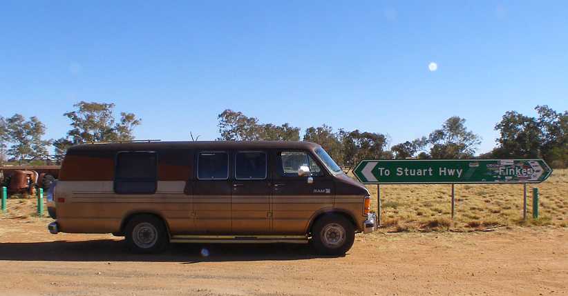
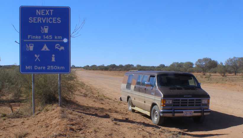
And so we turned Northward again. About 171 miles of the Stuart Highway lay ahead of us…
…and now I abandoned thoughts of going to Ayers Rock on the way too. I was giving priority to getting Finn mobile on his way to Broome. In fact, Ayers Rock deserves some time to see it in sunset and at sunrise, and with it being about 270kms from the highway it was going to be very costly in time.
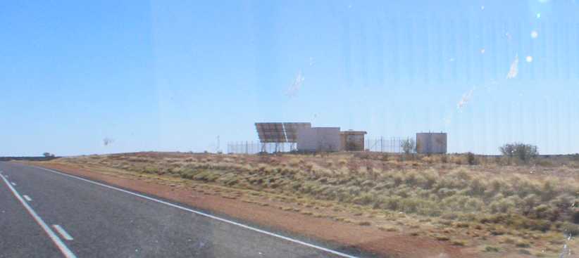
An installation. These cropped up every so often as we drove, we had no idea what they were but the need for solar panels indicate something to do with communications.
I was trying to get pics to illustrate that sometimes there was tall scrub right up to the sides of the road, while mostly it was clear well away from the road.
Straight and scrub. Yes, so many straights of great length, but not many had the tall growth so close to the road.
And there were sections where the presence of hills caused the road to diverge from its straight course and brought changes in elevation…
Hills and fences. Here we go through some hills, and the sight of fences and gates indicates that some form of farming is going on here. Probably the hills mean there’s some water lying around.
…but the bigger surprises might come from the passing traffic. I saw a string of eight Austin-Healeys going the other way at one stage before Stuarts Well, though this was the only picture I got of them:
Austin-Healeys. With eight of them out there on this long and lonely highway, these cars were probably on some kind of club run.
Stuarts Well eventually came up and I was really surprised to see the memorial they have there for the four men who died in the 1994 Cannonball Run. This event was held taking advantage of the total lack of speed limits outside town in the Northern Territory, starting in Darwin, running to Yulara and then back to Darwin over three or four days.
I had, of course, heard about the crash at the time, but I had no idea where it had taken place. The key element in it was an impatient driver in a Ferrari F40 arriving at a checkpoint and not recognising that the surface was so new that there was loose gravel on top of the bitumen.
Stuarts Well memorial. A sad sidelight to an event which sparked many imaginations 25 years before I came through. This memorial is on the spot of the worst tragedy in Australian motor sport’s history.
The brass plate’s message tells the sad tale:
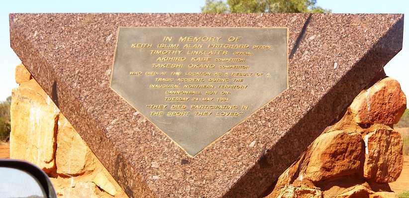
No consolation. A plaque is no substitute for the four lives lost, even if they were doing something they loved.
Just down the road and around a couple of bends there was the typical roadhouse, caravan park and store, but this one included a little extra. We stopped and I bought us some lunch:
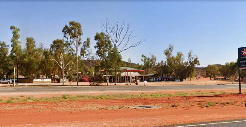
Stuart’s Well roadhouse. There are plenty of trees to throw much-needed shade here, the girl who served us was from England on a working holiday.(GE)
As we stretched our legs we noted a truck pulled up with the name ‘Tanami’ a part of the writing on the door. I encouraged Finn to talk to the driver to see if he’d be able to give him some ideas to get him further up the road. The Tanami Desert was an area he’d have to cross to get to Broome. There were suggestions made, but I would later see that Finn wasn't really of a mind to follow them.
There were camel rides available here too:
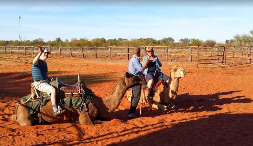
Camels too. Tourists are attracted to camel rides and the Stuart’s Well camel rides probably do good business in the tourist season.(Paul Hackett)
We didn’t hang around too long because getting Finn to Alice Springs had become a high priority. He made a few phone calls to his girlfriend and she assured him that she’d help if he needed any money to catch a bus, so that was looking like how he was going to cover the miles from Alice Springs on.
Driving on further we stopped at a Rest Area which had good amenities. This one was in an area named Hugh, but there seems to be no town of Hugh and the locality name applies over a long distance.
Hugh Rest Area. Plenty of room here, no doubt overnight campers are often seen. Toilets and a bit of a view into the valley as well.(GE)
A woman in a small bus converted to a motorhome pulled in while we were there and we had a bit of discussion with her. Once again at my urging, Finn talked to her about checking out his van as she got closer to Port Augusta.
The lady lived in Melbourne too, and if anything was left in the van (we all expected that it would have been rifled by now) she’d take it on and make contact with Finn’s parents. Later she made contact with Finn and confirmed that nothing of any use was left.
We covered the last miles into Alice Springs, with my first destination being the Post Office…
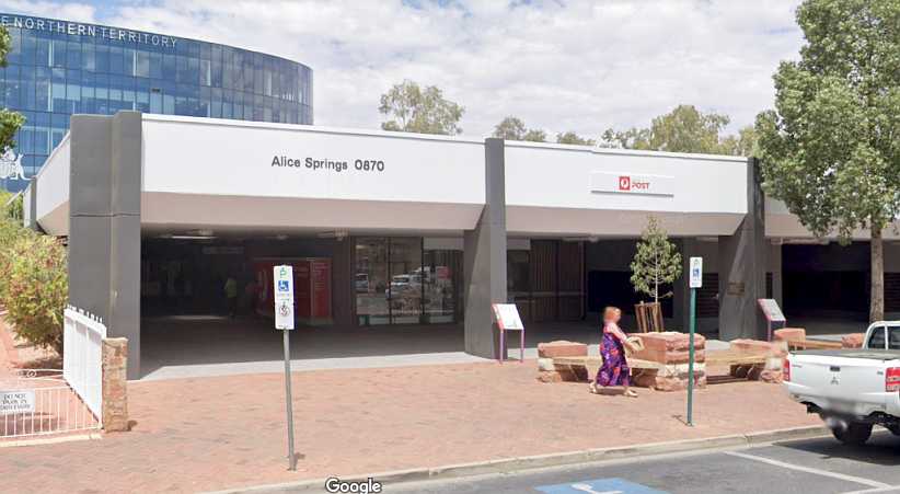
Alice Springs Post Office. Many people receive parcels here, I would soon learn. The parcel section is in the bay to the left and usually there’s a long queue. Note the building behind the Post Office – the Northern Territory Supreme Court building.(GE)
…with parking nearby at a premium to make things worse:
Parking at a premium. A very busy place and parking is hard to find on the street at any time in business hours. Particularly near the Post Office.(GE)
What I was after here was my replacement work tablet and it wasn’t there. I learned that two weeks is normal for parcels to arrive, which must be a problem for people passing through and thinking they can get something sent to meet them in a more normal delivery service time.
Having established that we next had to find out how to get Finn on a bus. Once again, his girlfriend was on the phone and ready to do anything to help him. We found the local Visitor Information Centre, where once again the parking was a problem:
Visitor Information Centre. Only approachable on foot, the road to the side is a traffic-free section. Here we learned that the Greyhound bus to Katherine (and Darwin) was due to leave a little later in the afternoon.(GE)
That being so, I quickly dashed into Woolworths and picked up a few mandarins, Finn got something for himself to nibble on during his long bus trip and then we drove round to the Greyhound depot:
Greyhound. Conveniently, Google Earth’s camera has caught a bus pulled in at the Greyhound office. There was none there when I dropped Finn off.(GE)
It cost him a bit over $400 for his ticket and that was almost as much as he could afford. Though his girlfriend could transfer money to him, it doesn’t take much to work out that he didn’t have enough money to fuel his van even to Katherine from where he abandoned it in South Australia.
Here’s his path for the rest of the trip:
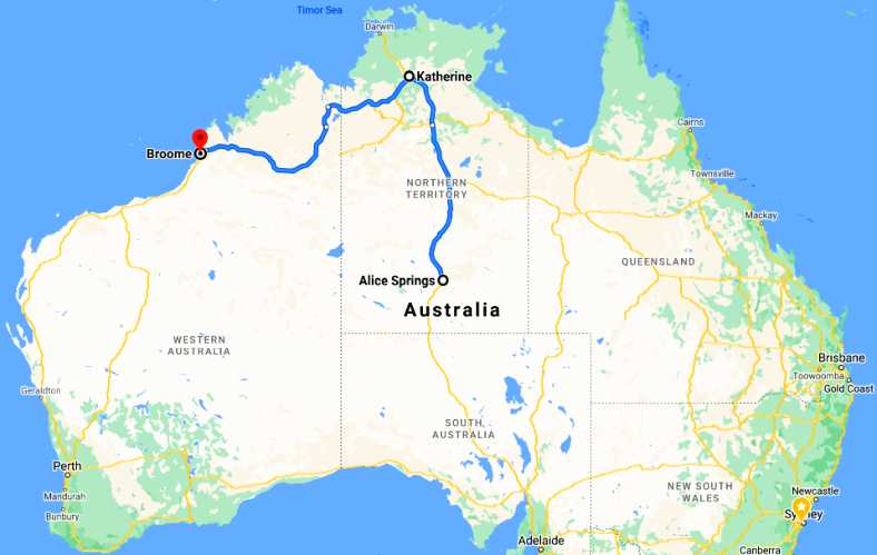
Finn’s trip map. From Alice Springs to Katherine, then a couple of hours wait for another bus to Broome.
It doesn’t look much, but he’d be in buses for the next couple of days. The distance he still had to travel was pretty much the same distance as from Atlanta GA to Flagstaff AZ, just over 1,700 miles. Everything would be okay when he got there, he kept assuring me, as his girlfriend would line up a job for him. As I left him I once again focussed on my own issues.
The company hadn’t booked me in anywhere yet, but they had told me they’d put me into accommodation in Alice Springs and that would have to begin the following night. Acting on advice I’d already received at the Tourist Information Centre, I headed out to the Showgrounds, a place known as Blatherskite Park.
This was where the ‘overflow’ of campers and caravanners had space made available when all the regular campsites were full. And they were full, with one of the big attractions for a trip to the ‘Red Centre’ being that Ayers Rock could still be climbed and that this was going to be stopped in the next couple of months. People were coming from far and wide for their chance to climb it and while there looking around the other sights of the Territory.
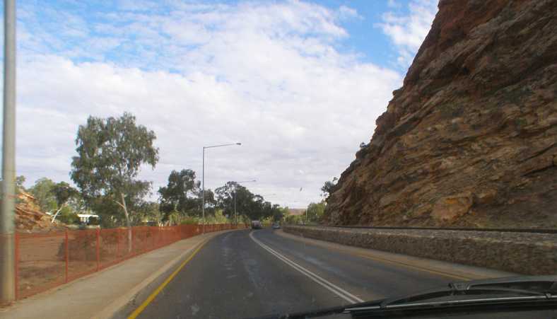
Back through the Gap. This gap in the McDonnell Ranges is the entry point to Alice Springs from the South. There’s the (generally dry) Todd River to the left, the highway and the railway on the right.
It wasn’t far and I found the office easily. When I paid I was told that the gate shut at 6:30 and if I was outside I wouldn’t get back in. I had some errands to run so I made sure I got through them quickly.
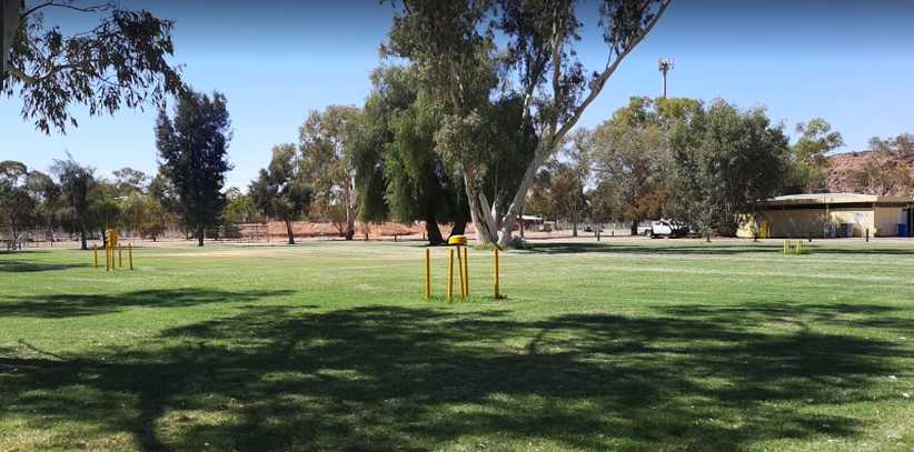
Blatherskite camping grounds. It was packed when I was there, but this shot from the internet shows that nice grassy sites with power were there to be had.
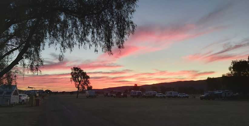
Campers fill the grounds. This is more like how it was when I got back to set up my campsite, campers everywhere and a sunset happening.(Jeff Spargo)
The following day I was to be staying at a place called ‘Alice in the Territory’ and there was a chance my tablet had been sent there, so that was one place I went in my rushing around before setting up camp:
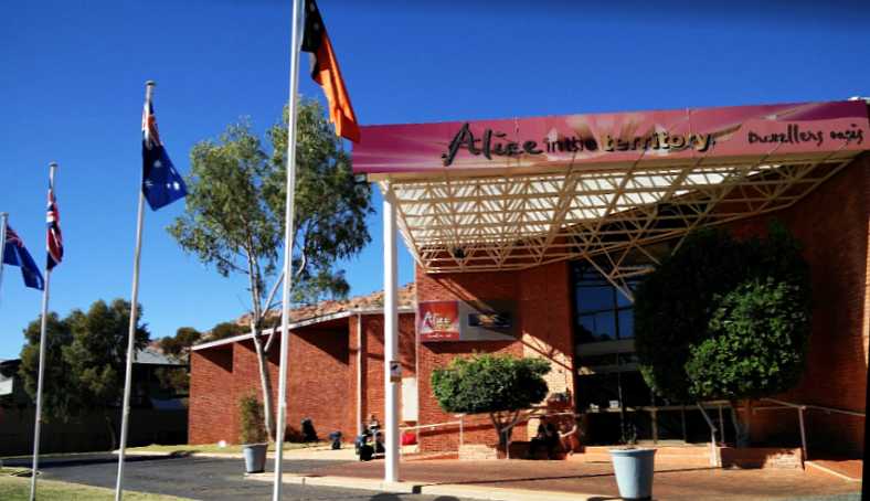
Alice in the Territory. There was no parcels here for me either, the only positive about it was that I knew where I’d be heading the next night.(Lars Lensink)
Another thing which had surprised me about Alice Springs was the multi-storey carpark, which was back in town not too far from the Post Office. It was also near some government buildings:
Carpark. I didn’t expect to see a carpark like this at the remote place that Alice Springs is, but the town (city?) is not small.
And so I rushed back to the Showgrounds and got in the gate before it was locked, set up my cooking gear as the sun went down and discussed the ways of the world with the people in the adjacent camp. And I got the camera out to record the passing of another day:
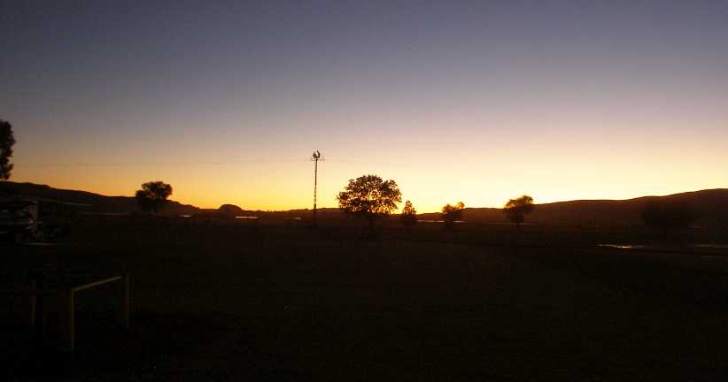
Blatherskite sunset. A day passes. The sun goes off to hide behind the McDonnell Ranges and the Dodge has gone to sleep for the night.
I was now well and truly in Alice Springs with no fewer than fifteen areas to complete. I’d also get a regular assignment one of the weekends I was in town.
I still had things to organise, however, and just finding my way around would be more of a battle than I expected. A number of things would, in fact…
While I felt it important to get a shot of the van at the Lambert Centre, I had to be concerned about the ‘4WD only’ warning about the final 12kms going in there, I was now concerned about the sheer roughness of the road in its first half-mile, and I had to be concerned to some degree about the time it would add to my journey.
The ‘4WD only’ part, in fact, wasn’t worrying me greatly. I’ve taken many cars on ‘4WD only’ tracks and never got stuck. The van would be more difficult, I know, but in my usual optimistic way I felt I could count on a 4WD going in or out to help me through any really tough spots. But that sort of thing wasn’t going to knock the van around, the corrugations would, especially with the load I was carrying.
I made the decision to head straight for the Alice, I would see about getting the van to the Lambert Centre at some later stage. On another trip. And when the road had been graded or sealed!
Turned back! The corrugations can’t be seen here, but they’re definitely bad! Finn climbed out and had a smoke while I took this picture.
While stopped there another vehicle pulled up, I guess to make sure we were okay. It was a Landcruiser Prado and the two occupants were beaming as they were enjoying a drive around the ‘outback’ in this country so unlike their own. Just to be sure, I asked if they had plenty of drinking water, they confirmed that they did, then we said our ‘goodbyes’ and they scarpered off to raise some dust.
Tourists stopped. Whether they just wanted a chat or thought we were in trouble I don’t know, but this pair of young Asian tourists stopped beside the van briefly before they headed off towards Finke.
So the Lambert Centre simply has to await me calling some other time. But in the meantime, plenty of people are putting up pics of it on the internet:
Lambert Centre. With its location marked by a scale model of the flagpole support on Australia’s Parliament House, this picture shows its remoteness. The jerry can on a post is actually a visitors’ book.
And so we turned Northward again. About 171 miles of the Stuart Highway lay ahead of us…
…and now I abandoned thoughts of going to Ayers Rock on the way too. I was giving priority to getting Finn mobile on his way to Broome. In fact, Ayers Rock deserves some time to see it in sunset and at sunrise, and with it being about 270kms from the highway it was going to be very costly in time.
An installation. These cropped up every so often as we drove, we had no idea what they were but the need for solar panels indicate something to do with communications.
I was trying to get pics to illustrate that sometimes there was tall scrub right up to the sides of the road, while mostly it was clear well away from the road.
Straight and scrub. Yes, so many straights of great length, but not many had the tall growth so close to the road.
And there were sections where the presence of hills caused the road to diverge from its straight course and brought changes in elevation…
Hills and fences. Here we go through some hills, and the sight of fences and gates indicates that some form of farming is going on here. Probably the hills mean there’s some water lying around.
…but the bigger surprises might come from the passing traffic. I saw a string of eight Austin-Healeys going the other way at one stage before Stuarts Well, though this was the only picture I got of them:
Austin-Healeys. With eight of them out there on this long and lonely highway, these cars were probably on some kind of club run.
Stuarts Well eventually came up and I was really surprised to see the memorial they have there for the four men who died in the 1994 Cannonball Run. This event was held taking advantage of the total lack of speed limits outside town in the Northern Territory, starting in Darwin, running to Yulara and then back to Darwin over three or four days.
I had, of course, heard about the crash at the time, but I had no idea where it had taken place. The key element in it was an impatient driver in a Ferrari F40 arriving at a checkpoint and not recognising that the surface was so new that there was loose gravel on top of the bitumen.
Stuarts Well memorial. A sad sidelight to an event which sparked many imaginations 25 years before I came through. This memorial is on the spot of the worst tragedy in Australian motor sport’s history.
The brass plate’s message tells the sad tale:
No consolation. A plaque is no substitute for the four lives lost, even if they were doing something they loved.
Just down the road and around a couple of bends there was the typical roadhouse, caravan park and store, but this one included a little extra. We stopped and I bought us some lunch:
Stuart’s Well roadhouse. There are plenty of trees to throw much-needed shade here, the girl who served us was from England on a working holiday.(GE)
As we stretched our legs we noted a truck pulled up with the name ‘Tanami’ a part of the writing on the door. I encouraged Finn to talk to the driver to see if he’d be able to give him some ideas to get him further up the road. The Tanami Desert was an area he’d have to cross to get to Broome. There were suggestions made, but I would later see that Finn wasn't really of a mind to follow them.
There were camel rides available here too:
Camels too. Tourists are attracted to camel rides and the Stuart’s Well camel rides probably do good business in the tourist season.(Paul Hackett)
We didn’t hang around too long because getting Finn to Alice Springs had become a high priority. He made a few phone calls to his girlfriend and she assured him that she’d help if he needed any money to catch a bus, so that was looking like how he was going to cover the miles from Alice Springs on.
Driving on further we stopped at a Rest Area which had good amenities. This one was in an area named Hugh, but there seems to be no town of Hugh and the locality name applies over a long distance.
Hugh Rest Area. Plenty of room here, no doubt overnight campers are often seen. Toilets and a bit of a view into the valley as well.(GE)
A woman in a small bus converted to a motorhome pulled in while we were there and we had a bit of discussion with her. Once again at my urging, Finn talked to her about checking out his van as she got closer to Port Augusta.
The lady lived in Melbourne too, and if anything was left in the van (we all expected that it would have been rifled by now) she’d take it on and make contact with Finn’s parents. Later she made contact with Finn and confirmed that nothing of any use was left.
We covered the last miles into Alice Springs, with my first destination being the Post Office…
Alice Springs Post Office. Many people receive parcels here, I would soon learn. The parcel section is in the bay to the left and usually there’s a long queue. Note the building behind the Post Office – the Northern Territory Supreme Court building.(GE)
…with parking nearby at a premium to make things worse:
Parking at a premium. A very busy place and parking is hard to find on the street at any time in business hours. Particularly near the Post Office.(GE)
What I was after here was my replacement work tablet and it wasn’t there. I learned that two weeks is normal for parcels to arrive, which must be a problem for people passing through and thinking they can get something sent to meet them in a more normal delivery service time.
Having established that we next had to find out how to get Finn on a bus. Once again, his girlfriend was on the phone and ready to do anything to help him. We found the local Visitor Information Centre, where once again the parking was a problem:
Visitor Information Centre. Only approachable on foot, the road to the side is a traffic-free section. Here we learned that the Greyhound bus to Katherine (and Darwin) was due to leave a little later in the afternoon.(GE)
That being so, I quickly dashed into Woolworths and picked up a few mandarins, Finn got something for himself to nibble on during his long bus trip and then we drove round to the Greyhound depot:
Greyhound. Conveniently, Google Earth’s camera has caught a bus pulled in at the Greyhound office. There was none there when I dropped Finn off.(GE)
It cost him a bit over $400 for his ticket and that was almost as much as he could afford. Though his girlfriend could transfer money to him, it doesn’t take much to work out that he didn’t have enough money to fuel his van even to Katherine from where he abandoned it in South Australia.
Here’s his path for the rest of the trip:
Finn’s trip map. From Alice Springs to Katherine, then a couple of hours wait for another bus to Broome.
It doesn’t look much, but he’d be in buses for the next couple of days. The distance he still had to travel was pretty much the same distance as from Atlanta GA to Flagstaff AZ, just over 1,700 miles. Everything would be okay when he got there, he kept assuring me, as his girlfriend would line up a job for him. As I left him I once again focussed on my own issues.
The company hadn’t booked me in anywhere yet, but they had told me they’d put me into accommodation in Alice Springs and that would have to begin the following night. Acting on advice I’d already received at the Tourist Information Centre, I headed out to the Showgrounds, a place known as Blatherskite Park.
This was where the ‘overflow’ of campers and caravanners had space made available when all the regular campsites were full. And they were full, with one of the big attractions for a trip to the ‘Red Centre’ being that Ayers Rock could still be climbed and that this was going to be stopped in the next couple of months. People were coming from far and wide for their chance to climb it and while there looking around the other sights of the Territory.
Back through the Gap. This gap in the McDonnell Ranges is the entry point to Alice Springs from the South. There’s the (generally dry) Todd River to the left, the highway and the railway on the right.
It wasn’t far and I found the office easily. When I paid I was told that the gate shut at 6:30 and if I was outside I wouldn’t get back in. I had some errands to run so I made sure I got through them quickly.
Blatherskite camping grounds. It was packed when I was there, but this shot from the internet shows that nice grassy sites with power were there to be had.
Campers fill the grounds. This is more like how it was when I got back to set up my campsite, campers everywhere and a sunset happening.(Jeff Spargo)
The following day I was to be staying at a place called ‘Alice in the Territory’ and there was a chance my tablet had been sent there, so that was one place I went in my rushing around before setting up camp:
Alice in the Territory. There was no parcels here for me either, the only positive about it was that I knew where I’d be heading the next night.(Lars Lensink)
Another thing which had surprised me about Alice Springs was the multi-storey carpark, which was back in town not too far from the Post Office. It was also near some government buildings:
Carpark. I didn’t expect to see a carpark like this at the remote place that Alice Springs is, but the town (city?) is not small.
And so I rushed back to the Showgrounds and got in the gate before it was locked, set up my cooking gear as the sun went down and discussed the ways of the world with the people in the adjacent camp. And I got the camera out to record the passing of another day:
Blatherskite sunset. A day passes. The sun goes off to hide behind the McDonnell Ranges and the Dodge has gone to sleep for the night.
I was now well and truly in Alice Springs with no fewer than fifteen areas to complete. I’d also get a regular assignment one of the weekends I was in town.
I still had things to organise, however, and just finding my way around would be more of a battle than I expected. A number of things would, in fact…
Last edited by Ray Bell; Jan 20, 2021 at 05:57 AM.
Thread Starter
|
Captain
Joined: Oct 2005
Posts: 571
Likes: 9
From: The Summit, Queensland, Australia
There were some essential things I had to get done as soon as I settled in Alice Springs. The list included getting parcels from the Post Office, getting a card to allow me to interview young Aboriginal people at Lajamanu after I�d finished in Alice Springs and to work out how to attack the sixteen areas I had to cover in a reasonably efficient manner so I�d be out of there in three weeks.
I�d arrived on a Friday afternoon, and with the weekend at hand they had given me a regular weekend assignment to cover in an area named Ross, a patch of desert which has basically been subdivided into small acreage blocks on which homes are generally built well back from the road and mostly attract people who are a little better off than some and keen to get away from the rampant children in the town.
I was able to move into the motel the day after arriving, and to my great relief I learned that the Post Office was open on Saturdays. So, after joining a long queue and going through various hoops I picked up the materials I needed for the weekend � but the other parcels I was expecting still hadn�t arrived.
There were a few minor problems with the Alice in the Territory motel. The first was the difficulty of contacting anyone if you came in late, the second was the tightness of parking when you�re driving a Dodge van�
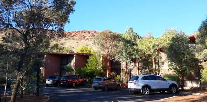
Parking provisions. The parking at the motel tended to be a bit tight, though this section doesn�t look too bad� (Margaret Couper)
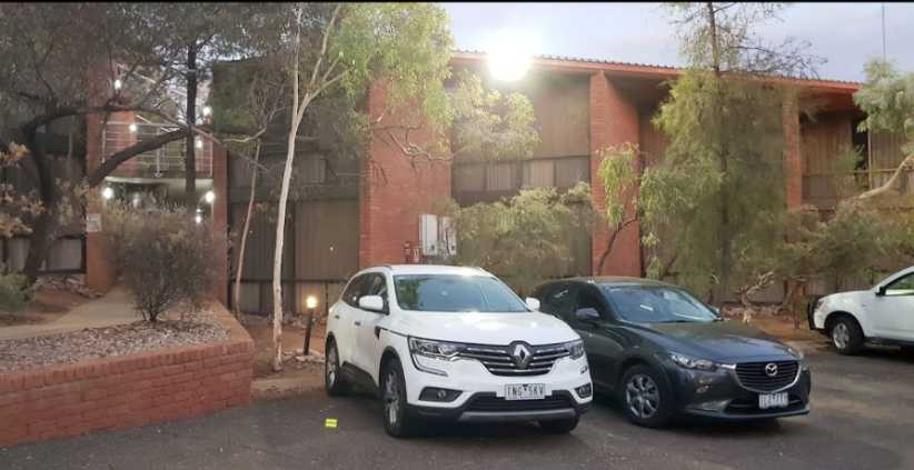
Tighter. �but the section where I had to park had trees encroaching as well as tight confines more suited to smaller cars.
The town wasn�t treating me at all well so far. Parcels hard to obtain, difficulty in parking, another problem was a lack of local area maps which show where the suburbs are and then I found something else to complain about:
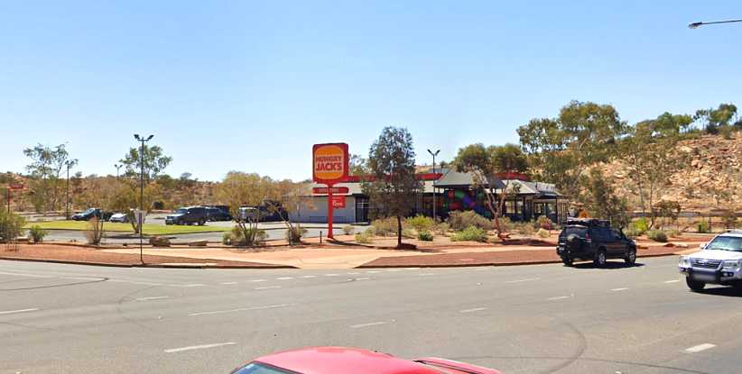
Hungrier Jack. After being away from this chain for so long I was keen to have a breakfast with them on the Saturday morning.(GE)
Hungrier Jack? Yes, they took an age to produce a simple breakfast order, especially noticeable to me as I had to get on with my work back through the other side of The Gap. I would, however, suffer worse.
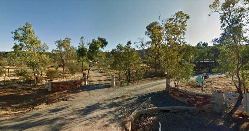
Homes like these. It was to homes like these that I had to go in order to find my respondents for the weekend work � homes in the desert just out of town.
After getting a reasonable amount of work done on Saturday, and meeting some interesting people on the way, I decided I�d take advantage of the presence of a Red Rooster store in town.
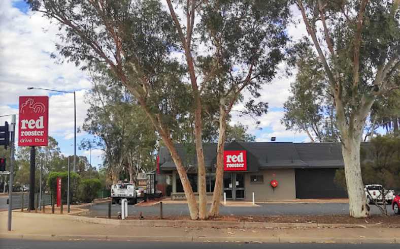
Red Rooster. Not too bad for a roast chicken-based meal, Red Rooster appealed to me on Saturday night.(Max buzz)
And now I learned that, when it came to taking a long time to serve customers, Hungry Jacks are pure amateurs. Red Rooster can run rings around them as the hands of a clock turn slowly.
You want service? Nobody behind the counter in this picture, and it doesn�t surprise me. They kept me waiting almost half an hour.(Tim Earl)
Interestingly, this establishment was a key to the solution of a murder some years earlier, the murderer having been seen in here with the couple he attempted to kidnap a day or so later. But that�s a complicated story and it�s even possible it hasn�t all been told yet.
One of the things you quickly notice in the Territory is the sheer volume of fuel which gets moved around. Any vehicle travelling the roads is going a long way and they all need fuel, so fuel tankers are plentiful, mostly as road trains:
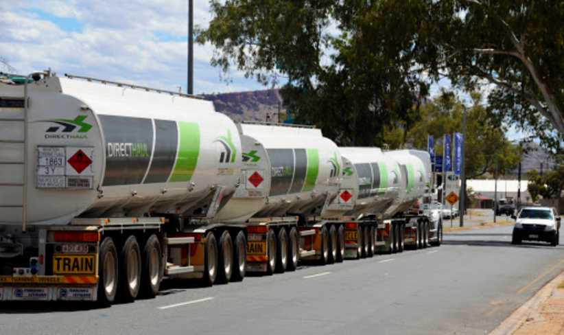
Fuel on the move. Four trailers in this road train all carry fuel, the need to supply high-mileage vehicles keeps many people busy.(Yodos Otra Vez)
Road trains of any kind aren�t really welcome in towns nearer the coastlines, but Alice Springs sees no end of the multi-trailer rigs passing through with all kinds of freight.
And speaking of fuel, I�d quickly identified the best price for fuel for my van was to be obtained at the United station at Ross�
United Ross. This place displayed the best price in town the whole time I was there, while it also had a convenience store inside.(GE)
�and this was important as I�d be doing many hundreds of miles driving around the Alice and when I left I had a long drive ahead of me and I wanted to have both the tank and the drums full as I didn�t expect a better price until I got well into Queensland on the way home.
With regard to the permit card to work with Aboriginal children, I spent some time in the appropriate government office on the Monday applying for this. They also wanted a portrait photo to put on the card:
My head. The photo I had taken for the ID card � and circled is a little sore on my head which didn�t seem to want to heal. More would come of that months later.
Monday also saw me move to the Desert Palms Resort. I was booked in here for the three weeks they expected me to take to get the job done, it was way more satisfactory than Alice in the Territory.
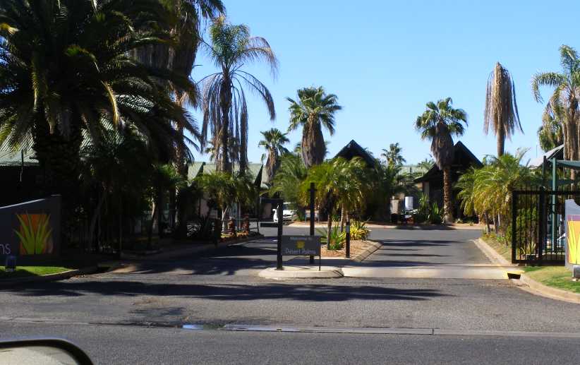
Front gate. Desert Palms Resort has a security gate which is closed from 8pm, a code being required to gain entry later than that.
The one unsatisfactory thing about the place was, in fact, the touchpad for the front gate after hours. It can be seen in that picture sticking up from the centre island. It�s not that it didn�t work or anything like that, but with my left hand drive van I had to get out and walk around to operate it!
Otherwise I found the place to be great. The units were self-contained and well-equipped:
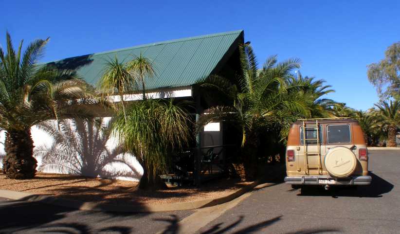
My unit. Though there was a passing parade of neighbours, I was in this unit for three weeks.
I�ve had to use pictures from their website as I didn�t take any inside. The tall peaked ceiling, the queen plus a single bed, TV, air conditioning, and little table with two chairs were all exactly as in my room�
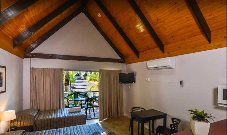
Comfortable room. I was to spend a lot of hours in here so it proved to be comfortable enough.
�as were the stools at the kitchen bar, the double hotplate, the microwave and other items not seen here like a kettle and toaster:
Kitchen area. Small but usable would be a good way to describe the kitchen in these units.
There�s a lot to be said for cooking for one�s self, especially when the alternative is � for me at least � takeaway. Another nice thing about the Desert Palms Resort is that there�s a back gate which leads onto the Alice Springs Golf Club and their dining room saw me visiting a few nights during my stay.
As I started to make my way around Alice Springs I came to realise that the planning of the suburbs was very similar to that in Canberra. Which is no surprise, as the Department of the Territories used to administer both. But there was a major difference about one of the features of their planning.
They put some �green spaces� between streets, or with cul-de-sacs running into them, like this one at Braitling:
Braitling planning. Between the rear fences of houses in Erumba Street and at the ends of the several dead-ends off Adidja Street is Rotoract Park.
And when you look into that parkland, as I have here, from Madigan Street, you see tall back fences, mostly of roofing steel, which essentially divorce the homes from the parkland provided:
Braitling parkland. Most homes adjoining the park have tall steel sheet fences, the one in the foreground a tall chainwire fence.
Now to look at a similar town planning exercise in Kambah, a Southern suburb of Canberra:
Kambah parks. A similar thing here, two parks at the back of houses and ends of dead-end streets to provide green space for residents.
And the residents� homes have more reasonable fences so they can take advantage of what might be termed �the extension of their back yards.� I was always impressed with this thoughtful planning when I lived in Canberra.
Canberrans use the parks. Giving themselves access to the parks is commonplace in all Canberra suburbs.
And the reason? Out of control children, basically. And some drunken adults roaming about at night throwing beer bottles away. Behind many of those fences are dogs, ones whose bite is probably much worse than their bark.
Working out in Larapinta one day I thought I should capture the view from one of the streets, the barren range filling the horizon from this point. As it does from many other places around the Alice.
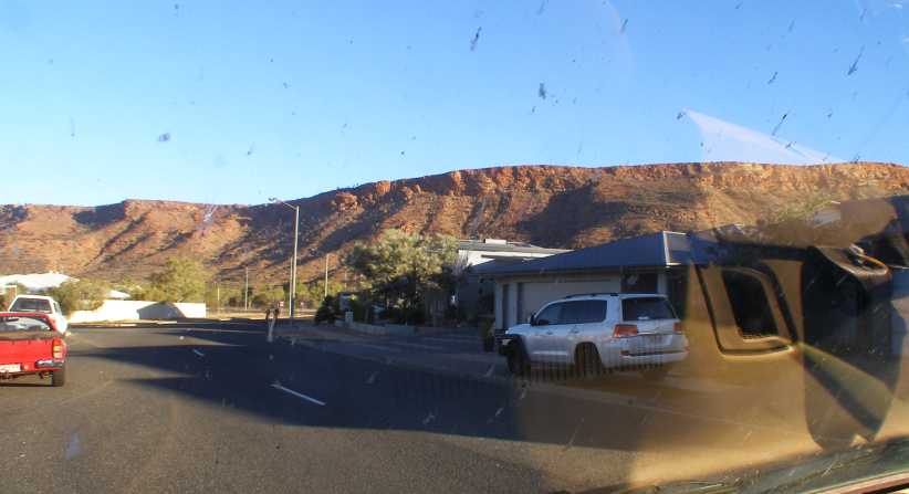
Larapinta view. Almost any landform which rises from the dusty flat around here is rocky and bare like this.
Of course, one of the main features of Alice Springs is the Todd River. I don�t know how often and for how long the river runs, but a clue about that might be drawn from the provision of bridges.
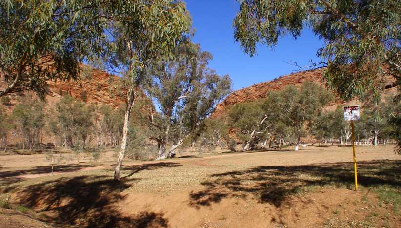
Todd River through The Gap. Not a drop of water anywhere, but this is the Todd River looking South through The Gap.
And from the other side of The Gap:
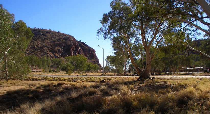
From the South. Looking back the other way from just South of Palm Circuit. Where there�s no bridge, just a road across the riverbed.
This view is from just near the CBD. In fact, the cars visible are in carparks along the river bank:
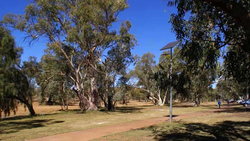
Todd River in town. The river is a wide expanse of very dry sand here, with as many gum trees in the riverbed as on the banks.
The road to the suburb of Eastside is another laid across the riverbed, just a culvert or two to let small quantities of water through if necessary, go another way if the river is running. The pedestrian bridge alongside is more indicative of the fact that it�s a river:
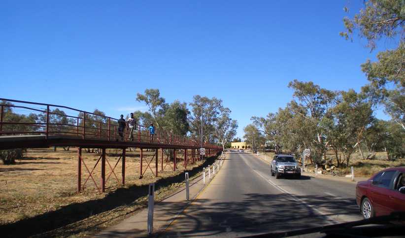
Bridge to Eastside. While the traffic can go a longer route when there�s water in the river, it would be too far for people to walk so a pedestrian bridge has been provided.
Just one of the five road crossings of the Todd in the city area is a bridge. It certainly points to the logical conclusion that there�s very rarely any significant amount of water in the Todd River. But there is another bridge down at the Southern end of the greater area, where the Ross Highway comes out to join the Stuart Highway:
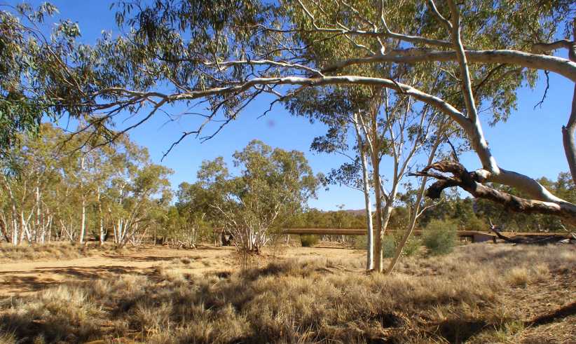
Ross Highway. The other bridge, which is necessary for people in Ross to reach town when the river is flowing.
Yes, the dry river is plainly seen in this photo, complete with clearly distinguished river banks, but still with gum trees growing in the middle of it all.
So I was now set up and working all around the place, putting out my questionnaires � further supplies having finally arrived via the Desert Palms � and gearing my days so I could be crossing the CBD area most lunchtimes�
McDonalds Alice Springs. This place does a roaring trade, but it provided me with a relatively quiet place for lunch most days I was in the Alice.
I also went into the Jaycar shop adjacent to it one day, I don�t remember now what I was chasing but they didn�t have it anyway.
And with a dry river and a desert atmosphere, and with hot days in July � which is mid-Winter here � you might not be surprised to know that there�s dust everywhere. Dust on shoes, dust in the car, it�s all a part of the Alice Springs experience. And in the suburban area South of the CBD, where it narrows down as The Gap looms large, it�s acknowledged by their bowling alley in a fine way:
The Dust Bowl. Located in the suburban area known as �The Gap,� this bowling alley has truly captured the local ambience with its name.
Each day I was out doing my thing, meeting some people and seeing more and more of Alice Springs. And still trying to work out just how and when I�d get to Ayers Rock�
I�d arrived on a Friday afternoon, and with the weekend at hand they had given me a regular weekend assignment to cover in an area named Ross, a patch of desert which has basically been subdivided into small acreage blocks on which homes are generally built well back from the road and mostly attract people who are a little better off than some and keen to get away from the rampant children in the town.
I was able to move into the motel the day after arriving, and to my great relief I learned that the Post Office was open on Saturdays. So, after joining a long queue and going through various hoops I picked up the materials I needed for the weekend � but the other parcels I was expecting still hadn�t arrived.
There were a few minor problems with the Alice in the Territory motel. The first was the difficulty of contacting anyone if you came in late, the second was the tightness of parking when you�re driving a Dodge van�
Parking provisions. The parking at the motel tended to be a bit tight, though this section doesn�t look too bad� (Margaret Couper)
Tighter. �but the section where I had to park had trees encroaching as well as tight confines more suited to smaller cars.
The town wasn�t treating me at all well so far. Parcels hard to obtain, difficulty in parking, another problem was a lack of local area maps which show where the suburbs are and then I found something else to complain about:
Hungrier Jack. After being away from this chain for so long I was keen to have a breakfast with them on the Saturday morning.(GE)
Hungrier Jack? Yes, they took an age to produce a simple breakfast order, especially noticeable to me as I had to get on with my work back through the other side of The Gap. I would, however, suffer worse.
Homes like these. It was to homes like these that I had to go in order to find my respondents for the weekend work � homes in the desert just out of town.
After getting a reasonable amount of work done on Saturday, and meeting some interesting people on the way, I decided I�d take advantage of the presence of a Red Rooster store in town.
Red Rooster. Not too bad for a roast chicken-based meal, Red Rooster appealed to me on Saturday night.(Max buzz)
And now I learned that, when it came to taking a long time to serve customers, Hungry Jacks are pure amateurs. Red Rooster can run rings around them as the hands of a clock turn slowly.
You want service? Nobody behind the counter in this picture, and it doesn�t surprise me. They kept me waiting almost half an hour.(Tim Earl)
Interestingly, this establishment was a key to the solution of a murder some years earlier, the murderer having been seen in here with the couple he attempted to kidnap a day or so later. But that�s a complicated story and it�s even possible it hasn�t all been told yet.
One of the things you quickly notice in the Territory is the sheer volume of fuel which gets moved around. Any vehicle travelling the roads is going a long way and they all need fuel, so fuel tankers are plentiful, mostly as road trains:
Fuel on the move. Four trailers in this road train all carry fuel, the need to supply high-mileage vehicles keeps many people busy.(Yodos Otra Vez)
Road trains of any kind aren�t really welcome in towns nearer the coastlines, but Alice Springs sees no end of the multi-trailer rigs passing through with all kinds of freight.
And speaking of fuel, I�d quickly identified the best price for fuel for my van was to be obtained at the United station at Ross�
United Ross. This place displayed the best price in town the whole time I was there, while it also had a convenience store inside.(GE)
�and this was important as I�d be doing many hundreds of miles driving around the Alice and when I left I had a long drive ahead of me and I wanted to have both the tank and the drums full as I didn�t expect a better price until I got well into Queensland on the way home.
With regard to the permit card to work with Aboriginal children, I spent some time in the appropriate government office on the Monday applying for this. They also wanted a portrait photo to put on the card:
My head. The photo I had taken for the ID card � and circled is a little sore on my head which didn�t seem to want to heal. More would come of that months later.
Monday also saw me move to the Desert Palms Resort. I was booked in here for the three weeks they expected me to take to get the job done, it was way more satisfactory than Alice in the Territory.
Front gate. Desert Palms Resort has a security gate which is closed from 8pm, a code being required to gain entry later than that.
The one unsatisfactory thing about the place was, in fact, the touchpad for the front gate after hours. It can be seen in that picture sticking up from the centre island. It�s not that it didn�t work or anything like that, but with my left hand drive van I had to get out and walk around to operate it!
Otherwise I found the place to be great. The units were self-contained and well-equipped:
My unit. Though there was a passing parade of neighbours, I was in this unit for three weeks.
I�ve had to use pictures from their website as I didn�t take any inside. The tall peaked ceiling, the queen plus a single bed, TV, air conditioning, and little table with two chairs were all exactly as in my room�
Comfortable room. I was to spend a lot of hours in here so it proved to be comfortable enough.
�as were the stools at the kitchen bar, the double hotplate, the microwave and other items not seen here like a kettle and toaster:
Kitchen area. Small but usable would be a good way to describe the kitchen in these units.
There�s a lot to be said for cooking for one�s self, especially when the alternative is � for me at least � takeaway. Another nice thing about the Desert Palms Resort is that there�s a back gate which leads onto the Alice Springs Golf Club and their dining room saw me visiting a few nights during my stay.
As I started to make my way around Alice Springs I came to realise that the planning of the suburbs was very similar to that in Canberra. Which is no surprise, as the Department of the Territories used to administer both. But there was a major difference about one of the features of their planning.
They put some �green spaces� between streets, or with cul-de-sacs running into them, like this one at Braitling:
Braitling planning. Between the rear fences of houses in Erumba Street and at the ends of the several dead-ends off Adidja Street is Rotoract Park.
And when you look into that parkland, as I have here, from Madigan Street, you see tall back fences, mostly of roofing steel, which essentially divorce the homes from the parkland provided:
Braitling parkland. Most homes adjoining the park have tall steel sheet fences, the one in the foreground a tall chainwire fence.
Now to look at a similar town planning exercise in Kambah, a Southern suburb of Canberra:
Kambah parks. A similar thing here, two parks at the back of houses and ends of dead-end streets to provide green space for residents.
And the residents� homes have more reasonable fences so they can take advantage of what might be termed �the extension of their back yards.� I was always impressed with this thoughtful planning when I lived in Canberra.
Canberrans use the parks. Giving themselves access to the parks is commonplace in all Canberra suburbs.
And the reason? Out of control children, basically. And some drunken adults roaming about at night throwing beer bottles away. Behind many of those fences are dogs, ones whose bite is probably much worse than their bark.
Working out in Larapinta one day I thought I should capture the view from one of the streets, the barren range filling the horizon from this point. As it does from many other places around the Alice.
Larapinta view. Almost any landform which rises from the dusty flat around here is rocky and bare like this.
Of course, one of the main features of Alice Springs is the Todd River. I don�t know how often and for how long the river runs, but a clue about that might be drawn from the provision of bridges.
Todd River through The Gap. Not a drop of water anywhere, but this is the Todd River looking South through The Gap.
And from the other side of The Gap:
From the South. Looking back the other way from just South of Palm Circuit. Where there�s no bridge, just a road across the riverbed.
This view is from just near the CBD. In fact, the cars visible are in carparks along the river bank:
Todd River in town. The river is a wide expanse of very dry sand here, with as many gum trees in the riverbed as on the banks.
The road to the suburb of Eastside is another laid across the riverbed, just a culvert or two to let small quantities of water through if necessary, go another way if the river is running. The pedestrian bridge alongside is more indicative of the fact that it�s a river:
Bridge to Eastside. While the traffic can go a longer route when there�s water in the river, it would be too far for people to walk so a pedestrian bridge has been provided.
Just one of the five road crossings of the Todd in the city area is a bridge. It certainly points to the logical conclusion that there�s very rarely any significant amount of water in the Todd River. But there is another bridge down at the Southern end of the greater area, where the Ross Highway comes out to join the Stuart Highway:
Ross Highway. The other bridge, which is necessary for people in Ross to reach town when the river is flowing.
Yes, the dry river is plainly seen in this photo, complete with clearly distinguished river banks, but still with gum trees growing in the middle of it all.
So I was now set up and working all around the place, putting out my questionnaires � further supplies having finally arrived via the Desert Palms � and gearing my days so I could be crossing the CBD area most lunchtimes�
McDonalds Alice Springs. This place does a roaring trade, but it provided me with a relatively quiet place for lunch most days I was in the Alice.
I also went into the Jaycar shop adjacent to it one day, I don�t remember now what I was chasing but they didn�t have it anyway.
And with a dry river and a desert atmosphere, and with hot days in July � which is mid-Winter here � you might not be surprised to know that there�s dust everywhere. Dust on shoes, dust in the car, it�s all a part of the Alice Springs experience. And in the suburban area South of the CBD, where it narrows down as The Gap looms large, it�s acknowledged by their bowling alley in a fine way:
The Dust Bowl. Located in the suburban area known as �The Gap,� this bowling alley has truly captured the local ambience with its name.
Each day I was out doing my thing, meeting some people and seeing more and more of Alice Springs. And still trying to work out just how and when I�d get to Ayers Rock�
Thread Starter
|
Captain
Joined: Oct 2005
Posts: 571
Likes: 9
From: The Summit, Queensland, Australia
One personal mission I had to pursue before too much time passed was to visit a friend of Norm Smith�s. Norm, you might recall, is one of the people I visit occasionally and he has a mix of Peugeots and Cortinas, and latterly Subarus, at Meerschaum Vale on the NSW North Coast. His friend, living in Braitling, is named Paul and he has a Lotus Cortina.
I made a point of visiting him within the first few days I was there, then a couple of weeks later I bumped into him again as he was visiting someone at Ross from whom I had to pick up a questionnaire. And Paul had driven out there in the Lotus Cortina�
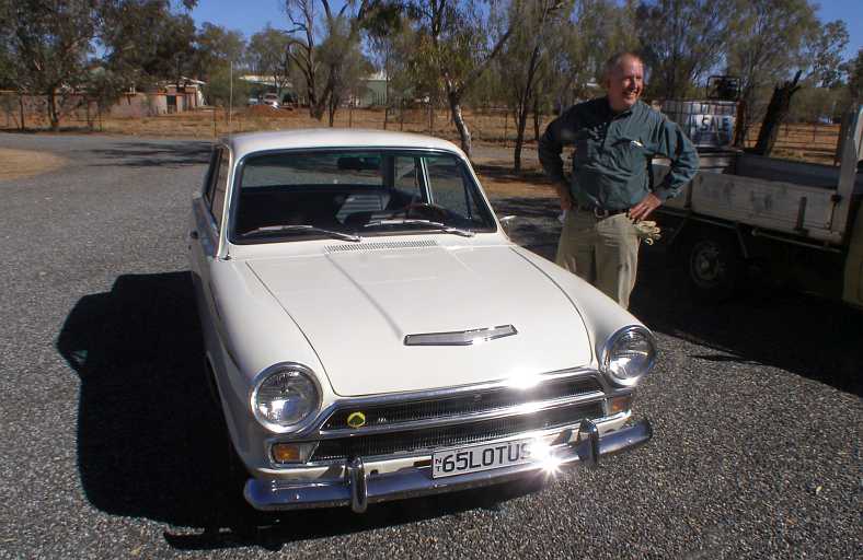
Paul and his Lotus Cortina. It was a surprise when I drove up the driveway here and found Paul and his Lotus Cortina visiting.
�which is an American spec version. There are a few differences in these, apart from being left hand drive, they have full bumper bars at the front instead of bumperettes�
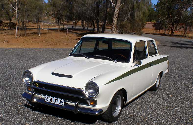
Out of place. In many ways � left hand drive, the surroundings of bare earth rather than green lawns, but loved by its owner.
�while front and rear bumpers also have overriders:
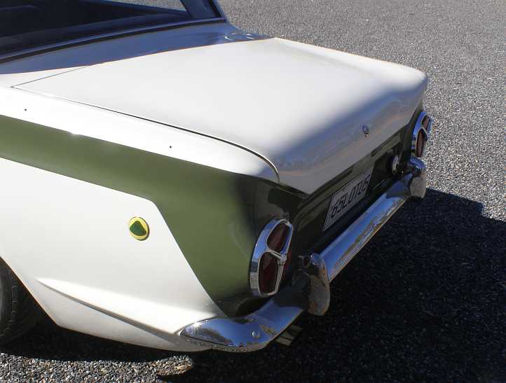
Rear end. These bumper overriders were only fitted to the American market cars, fewer than 200 of these having been built.
Remembering that my purpose for spending three weeks in Alice Springs was to enable people to participate in a nationwide survey, I would have to get out amongst those people and knock on doors.
They say that �forewarned is forearmed� and having had the experiences in places like Moree, Bourke, Goondiwindi and elsewhere that the rampant children creates an atmosphere of concern for your possessions. The protective measures put up by locals means you often strike locked gates and � of greater import � large and vicious dogs and I was mindful to take care when working.
Less of a problem to me, but still one with potential, is the inclination of some people to become violent when intoxicated. This has become such a big issue in Alice Springs (and other parts of the Northern Territory) that laws have been enacted to give courts the choice of banning alcohol from the homes of people who have a history of becoming violent.
Warning sign. Found in numbers around Alice Springs are these signs, issued by courts after repeated convictions of people for drunken behaviour including domestic violence.
And so I got on with the job. I mentioned that maps were difficult to find � that is maps which would lead me to the places I had to do this work as distinct from maps showing sightseers where to go � but I did find one the day I went to apply for the �working with children� permit. It was a cycleway map, and once again I was reminded of the similarities between Alice Springs and Canberra, where cycleway maps are also a good way to find parts of the city.
But Google Earth will give us a guide here:
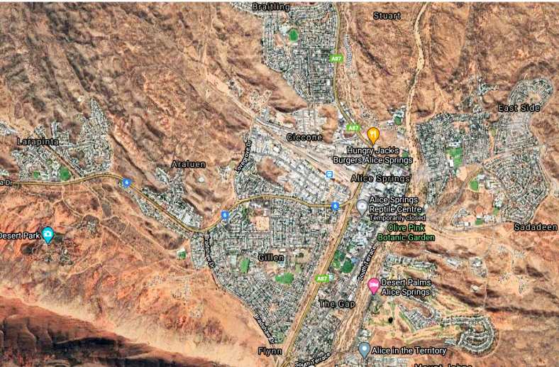
The Alice. Suburbs in which I had areas to cover were (clockwise from the top) Braitling, East Side, Sadadeen, The Gap, Araluen and Larapinta.(GE)
I started with Braitling, seeing as that was where I visited Paul and his Lotus the second day I was there. Here are some views from Google Earth of typical parts of the suburb in which I was working:
Streets of Braitling. Tall fences indicate dogs, the homes behind the fences were generally single-storey three or four-bedroom homes built in the seventies.(GE)
Homes were intermingled with flats of various types, some built to house Aboriginals and others for young or single people to rent, such as these:
Flats. On one of the main roads, most people living in here were couples with no children, the flats were mostly two-bedroom units and all had carports.(GE)
As the suburb has grown, some of the newer streets had nicer homes�
Newer area. This section of the suburb climbs up on a hill and seemed to be less of a subject to the problems of the flatter area.(GE)
�and the government has expended a lot of money to accommodate the native population:
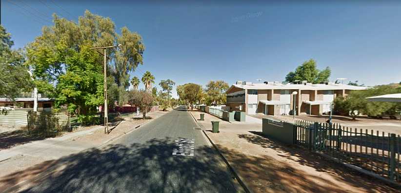
Aboriginal housing. While some are housed in regular homes, many have been placed in the bank of units on the right here. There are three or four of these 2-storey buildings in a row, while across the street are private homes.(GE)
It�s not that I didn�t take any photos at all, however I was working and not carrying the camera as I went. It did come out when I spied something of note, such as this number plate:
Smarter in Braitling. Not the sort of car you�d expect to see here, nor the number plate!
I had three areas to do in Braitling, so I was there day after day. But at the same time I mingled these �outings� with some work in Sadadeen, where I had yet another three areas to cover. Essentially, Sadadeen had the same mix of housing, but there were no blocks of flats there, save for this set of units for the elderly�
For the elderly. I did, in fact, meet some really nice and helpful people in these units, it was pleasant calling on them.(GE)
Once more, I am relying on Google Earth Street View for many of the pics. One of the quieter little streets, this cul-de-sac introduced me to a nice young policewoman who was about to go to work for the evening. She was dreading the shift as it�s the time of day when the children are at their worst. At least I placed a number of questionnaires in the street:
Quiet cul-de-sac. Seeming to be a bit out of the mainstream, this street was notable for its peaceful appearance when compared to others nearby.
Up at the top end of Sadadeen seemed to be a lot newer and these town houses helped that impression:
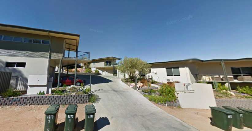
Town houses. My knee didn�t like the steep drive here, while the Google camera has done some mischief to proportions of the garbage bins.(GE)
More typical was this kind of street scene�
Sadadeen homes and fences. Back to high fences and gates which can be shut (and locked), there was more of this than there should have been.(GE)
�and just outside the area as I drove away I snapped this example of the things that happen here:
Fence ripped down. Not happy with having to walk around to get to the main road? Tear down the fence, someone else owns that!
After spending a few days working on these areas I decided to attack the area marked on my list as �Arumbera�. I drove out the road to the South of town and followed the GPS to where I should be. This, in fact, was the road to Pine Gap, the US base outside of Alice Springs, and nobody lives out there.
But an artist has been along to add a little to the kangaroo warning sign:
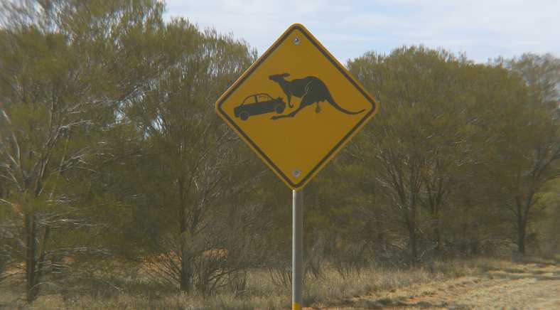
Aboriginal art? Well, somebody felt the original sign needed a bit of embellishment! And the scrub was like this for miles.
From there I worked back as per my instructions and came to a small circle of houses where Aboriginal families live. Google�s camera car didn�t go right into the circle, but they got this shot from the limit of their travel:
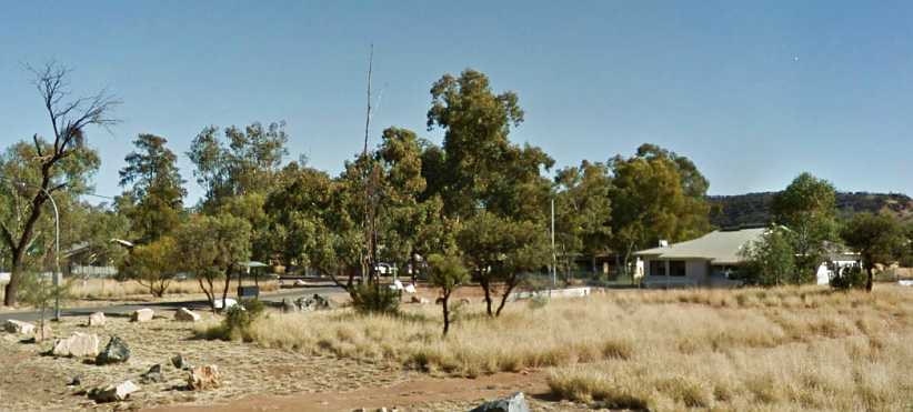
Arumbera dwellings. There was a few homes here and even someone at home at some, so I was able to leave a small number of questionnaires with people.(GE)
To give a bit of an idea of where we�re heading next, this Google Earth view might be helpful:
Ranges and Ilparpa. Arumbera in the little cluster of houses there is in the lower right corner, from there I went along Ilparpa Road, which leads to another gap in the range and then joins up with Larapinta Drive which leads back to the centre of Alice Springs.
Homes out here are on properties varying from a few acres to a hundred or more. It�s all desert country, of course, though some people are doing some sort of cultivation or other farming. Most, however, work in the town.
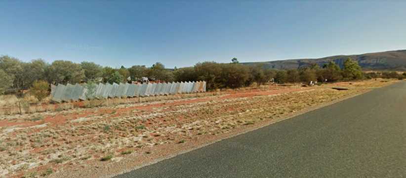
Fence art. One property here has become the setting for an attempt at artistic fencing, corrugated roof sheeting being put up at angles. Most properties, as this one, share the gutter crossing with the adjoining property.(GE)
The native scrub is very much in charge here, dominating the settings of most homes. Lawns are rare and the work of someone with a lot of spare time and a good bore, while bare earth is the norm.
Twin drives. It�s normal to not be able to see much of the house � if any at all � from the road here. Note the shared gutter crossing.(GE)
At times the �garden ornaments� were right up my alley. The people who owned this 1968 Holden Monaro told me it had been driven out of town and burned out, simply lying there unwanted after that for years until some authorities wanted it removed. They were happy to take it home and turn it into a garden ornament.
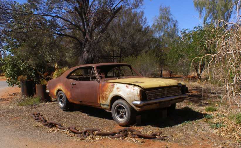
Holden Monaro. The alloy wheels were added later, of course, but otherwise this car is just as found in the bush.
Also of note in that photo is the section of chain. This type of chain was commonly used for scrub clearing in a number of parts of Australia, with a section of it hooked up between two bulldozers marching forward ripping the growth out of the ground.
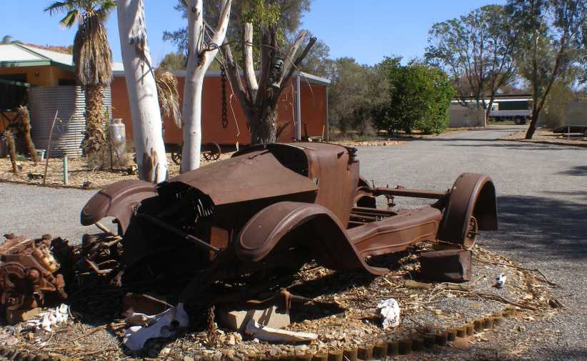
Rugby or Star. The owner of this garden ornament didn�t have a clue what it was, so I had to find out�
When I called at this place, literally just around the corner from the Holden, I found the owner in his huge workshop working on his race car. They had some very high-performance gear there and raced frequently, but weren�t very interested in knowing what the car in their driveway was. I went to the AACA forum and asked, learning it was a 1924 Rugby � which was the name cars marketed by Durant Motor Corp in America as Stars were called in Commonwealth countries because of copyright issues.
Even a street light. An out of town area like this doesn�t always have street lighting, but some of Ilparpa does. More homes with shared gutter crossing.(GE)
Having worked through the �developed� part of Ilparpa I went bush on some dirt roads�
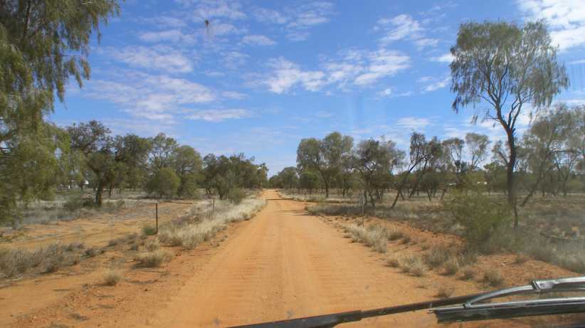
Dirt roads. Down these dirt roads I found some more homes. I was up against it with numbers and had to make every post a winner to get all the questionnaires out.
This road, in fact, went past a camel-ride place, of which more is to come. My problem was becoming evident in that I wasn�t finding sufficient people to do my job and this was even more evident as I got closer to that gap in the range:
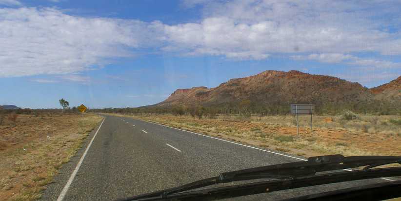
Running out of Ilparpa. That sign coming up says �Floodway� and beyond that there was nothing more to be found until Larapinta.
But I did complete the exercise. Effectively I did two areas in Ilparpa, because I had to finish off the Arumbera area there as well as do a complete area from scratch. There was a very nice elderly lady at the last little farmhouse before the gap who had no idea just how happy I was to be able to give her the last questionnaire.
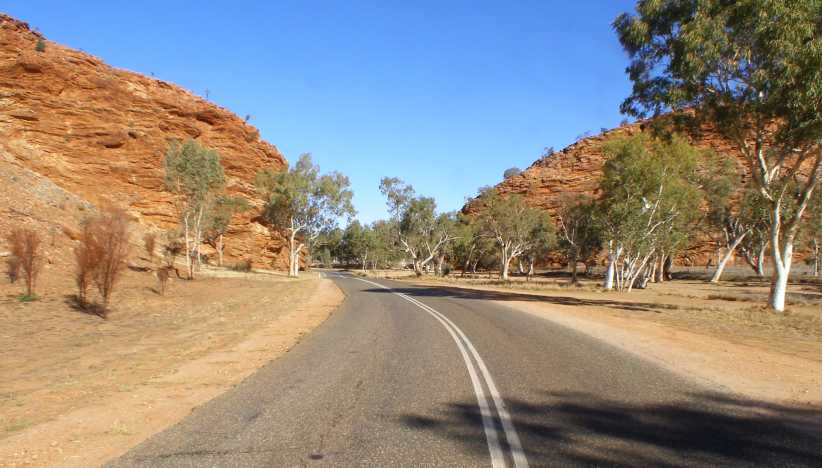
Another Gap. Looking back on the gap I�d driven through, it doesn�t seem so much. But I daresay it was a real help before modern machinery came along.
And so my days went. Wake up each morning in my unit in the Desert Sands Resort, prepare my materials for the day and head out in the direction of the working areas I�d been given. I�d almost always descend on McDonalds for something to eat at midday then go back out until it was just getting dark each evening before returning to my unit.
Of course, I was keeping in touch with Sandra a couple of times a day, I was looking over the forums I use and checking my e.mails, while the people at the office of the resort would hand me mail when they saw me and a passing parade of people would come and go from the adjacent units.
Oh, yeah, when I needed to I�d get out early and use the laundry�
I made a point of visiting him within the first few days I was there, then a couple of weeks later I bumped into him again as he was visiting someone at Ross from whom I had to pick up a questionnaire. And Paul had driven out there in the Lotus Cortina�
Paul and his Lotus Cortina. It was a surprise when I drove up the driveway here and found Paul and his Lotus Cortina visiting.
�which is an American spec version. There are a few differences in these, apart from being left hand drive, they have full bumper bars at the front instead of bumperettes�
Out of place. In many ways � left hand drive, the surroundings of bare earth rather than green lawns, but loved by its owner.
�while front and rear bumpers also have overriders:
Rear end. These bumper overriders were only fitted to the American market cars, fewer than 200 of these having been built.
Remembering that my purpose for spending three weeks in Alice Springs was to enable people to participate in a nationwide survey, I would have to get out amongst those people and knock on doors.
They say that �forewarned is forearmed� and having had the experiences in places like Moree, Bourke, Goondiwindi and elsewhere that the rampant children creates an atmosphere of concern for your possessions. The protective measures put up by locals means you often strike locked gates and � of greater import � large and vicious dogs and I was mindful to take care when working.
Less of a problem to me, but still one with potential, is the inclination of some people to become violent when intoxicated. This has become such a big issue in Alice Springs (and other parts of the Northern Territory) that laws have been enacted to give courts the choice of banning alcohol from the homes of people who have a history of becoming violent.
Warning sign. Found in numbers around Alice Springs are these signs, issued by courts after repeated convictions of people for drunken behaviour including domestic violence.
And so I got on with the job. I mentioned that maps were difficult to find � that is maps which would lead me to the places I had to do this work as distinct from maps showing sightseers where to go � but I did find one the day I went to apply for the �working with children� permit. It was a cycleway map, and once again I was reminded of the similarities between Alice Springs and Canberra, where cycleway maps are also a good way to find parts of the city.
But Google Earth will give us a guide here:
The Alice. Suburbs in which I had areas to cover were (clockwise from the top) Braitling, East Side, Sadadeen, The Gap, Araluen and Larapinta.(GE)
I started with Braitling, seeing as that was where I visited Paul and his Lotus the second day I was there. Here are some views from Google Earth of typical parts of the suburb in which I was working:
Streets of Braitling. Tall fences indicate dogs, the homes behind the fences were generally single-storey three or four-bedroom homes built in the seventies.(GE)
Homes were intermingled with flats of various types, some built to house Aboriginals and others for young or single people to rent, such as these:
Flats. On one of the main roads, most people living in here were couples with no children, the flats were mostly two-bedroom units and all had carports.(GE)
As the suburb has grown, some of the newer streets had nicer homes�
Newer area. This section of the suburb climbs up on a hill and seemed to be less of a subject to the problems of the flatter area.(GE)
�and the government has expended a lot of money to accommodate the native population:
Aboriginal housing. While some are housed in regular homes, many have been placed in the bank of units on the right here. There are three or four of these 2-storey buildings in a row, while across the street are private homes.(GE)
It�s not that I didn�t take any photos at all, however I was working and not carrying the camera as I went. It did come out when I spied something of note, such as this number plate:
Smarter in Braitling. Not the sort of car you�d expect to see here, nor the number plate!
I had three areas to do in Braitling, so I was there day after day. But at the same time I mingled these �outings� with some work in Sadadeen, where I had yet another three areas to cover. Essentially, Sadadeen had the same mix of housing, but there were no blocks of flats there, save for this set of units for the elderly�
For the elderly. I did, in fact, meet some really nice and helpful people in these units, it was pleasant calling on them.(GE)
Once more, I am relying on Google Earth Street View for many of the pics. One of the quieter little streets, this cul-de-sac introduced me to a nice young policewoman who was about to go to work for the evening. She was dreading the shift as it�s the time of day when the children are at their worst. At least I placed a number of questionnaires in the street:
Quiet cul-de-sac. Seeming to be a bit out of the mainstream, this street was notable for its peaceful appearance when compared to others nearby.
Up at the top end of Sadadeen seemed to be a lot newer and these town houses helped that impression:
Town houses. My knee didn�t like the steep drive here, while the Google camera has done some mischief to proportions of the garbage bins.(GE)
More typical was this kind of street scene�
Sadadeen homes and fences. Back to high fences and gates which can be shut (and locked), there was more of this than there should have been.(GE)
�and just outside the area as I drove away I snapped this example of the things that happen here:
Fence ripped down. Not happy with having to walk around to get to the main road? Tear down the fence, someone else owns that!
After spending a few days working on these areas I decided to attack the area marked on my list as �Arumbera�. I drove out the road to the South of town and followed the GPS to where I should be. This, in fact, was the road to Pine Gap, the US base outside of Alice Springs, and nobody lives out there.
But an artist has been along to add a little to the kangaroo warning sign:
Aboriginal art? Well, somebody felt the original sign needed a bit of embellishment! And the scrub was like this for miles.
From there I worked back as per my instructions and came to a small circle of houses where Aboriginal families live. Google�s camera car didn�t go right into the circle, but they got this shot from the limit of their travel:
Arumbera dwellings. There was a few homes here and even someone at home at some, so I was able to leave a small number of questionnaires with people.(GE)
To give a bit of an idea of where we�re heading next, this Google Earth view might be helpful:
Ranges and Ilparpa. Arumbera in the little cluster of houses there is in the lower right corner, from there I went along Ilparpa Road, which leads to another gap in the range and then joins up with Larapinta Drive which leads back to the centre of Alice Springs.
Homes out here are on properties varying from a few acres to a hundred or more. It�s all desert country, of course, though some people are doing some sort of cultivation or other farming. Most, however, work in the town.
Fence art. One property here has become the setting for an attempt at artistic fencing, corrugated roof sheeting being put up at angles. Most properties, as this one, share the gutter crossing with the adjoining property.(GE)
The native scrub is very much in charge here, dominating the settings of most homes. Lawns are rare and the work of someone with a lot of spare time and a good bore, while bare earth is the norm.
Twin drives. It�s normal to not be able to see much of the house � if any at all � from the road here. Note the shared gutter crossing.(GE)
At times the �garden ornaments� were right up my alley. The people who owned this 1968 Holden Monaro told me it had been driven out of town and burned out, simply lying there unwanted after that for years until some authorities wanted it removed. They were happy to take it home and turn it into a garden ornament.
Holden Monaro. The alloy wheels were added later, of course, but otherwise this car is just as found in the bush.
Also of note in that photo is the section of chain. This type of chain was commonly used for scrub clearing in a number of parts of Australia, with a section of it hooked up between two bulldozers marching forward ripping the growth out of the ground.
Rugby or Star. The owner of this garden ornament didn�t have a clue what it was, so I had to find out�
When I called at this place, literally just around the corner from the Holden, I found the owner in his huge workshop working on his race car. They had some very high-performance gear there and raced frequently, but weren�t very interested in knowing what the car in their driveway was. I went to the AACA forum and asked, learning it was a 1924 Rugby � which was the name cars marketed by Durant Motor Corp in America as Stars were called in Commonwealth countries because of copyright issues.
Even a street light. An out of town area like this doesn�t always have street lighting, but some of Ilparpa does. More homes with shared gutter crossing.(GE)
Having worked through the �developed� part of Ilparpa I went bush on some dirt roads�
Dirt roads. Down these dirt roads I found some more homes. I was up against it with numbers and had to make every post a winner to get all the questionnaires out.
This road, in fact, went past a camel-ride place, of which more is to come. My problem was becoming evident in that I wasn�t finding sufficient people to do my job and this was even more evident as I got closer to that gap in the range:
Running out of Ilparpa. That sign coming up says �Floodway� and beyond that there was nothing more to be found until Larapinta.
But I did complete the exercise. Effectively I did two areas in Ilparpa, because I had to finish off the Arumbera area there as well as do a complete area from scratch. There was a very nice elderly lady at the last little farmhouse before the gap who had no idea just how happy I was to be able to give her the last questionnaire.
Another Gap. Looking back on the gap I�d driven through, it doesn�t seem so much. But I daresay it was a real help before modern machinery came along.
And so my days went. Wake up each morning in my unit in the Desert Sands Resort, prepare my materials for the day and head out in the direction of the working areas I�d been given. I�d almost always descend on McDonalds for something to eat at midday then go back out until it was just getting dark each evening before returning to my unit.
Of course, I was keeping in touch with Sandra a couple of times a day, I was looking over the forums I use and checking my e.mails, while the people at the office of the resort would hand me mail when they saw me and a passing parade of people would come and go from the adjacent units.
Oh, yeah, when I needed to I�d get out early and use the laundry�
Thread Starter
|
Captain
Joined: Oct 2005
Posts: 571
Likes: 9
From: The Summit, Queensland, Australia
After �saturating� the Sadadeen and Braitling areas, I moved across to the areas I had to cover in Araluen and Larapinta. Araluen, closer to the city centre, was older and more prone to �problems� but some parts were newer. The high fences prevailed in the older area:
Expensive front fence. Perhaps a bit of overkill here with this fence, but it would certainly impede (or impale?) anyone trying to get onto the property.
Between fences, locked gates and dogs I struggled a little at times, but ultimately I placed the quota of questionnaires required in streets like this�
More Araluen. The late afternoon sun�s angle throws long shadows on a street where troubled times sometimes come.
�and met people of all kinds as I went. Some people appeared to disregard the problems which led others to put up the high fences:
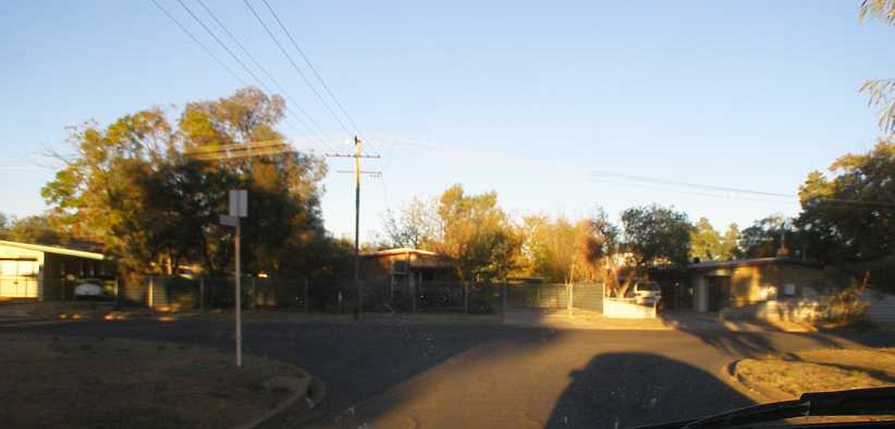
Araluen fence contrast. For some houses there had been no attention paid to the protective fencing, to others it was more important.
One little surprise I found in this area was an American family, with the method of determining which family member fills out the survey leading to me relying on the 14-year old son. But I did have a good conversation with his father, who works at the Pine Gap base.
This is an example of the level of neglect of some homes:
Messy yard. Take-away wrappings, abandoned toys, derelict (though modern) cars, empty bottles and such are trademarks of some families.
Of course, though I was now putting out materials in these new areas, I was dropping back to the other places as it was now time to pick up the completed surveys. There was one English couple of mature age in Braitling who had a project going:
Boat building in Braitling. It�s a long way from the ocean, but an old seafarer has plans of going back to the salt water one day and he�s working now to complete this boat for the purpose.
A shame I couldn�t get better access to it for better pics, that was taken from outside their fence.
I spotted an interesting personalised number plate on this Jeep:
Personalised plate. Driving back past the turnoff to Anzac Hill, where there�s a lookout on the Northern end of town, I got this shot of the number plate, �NIKQ�, which I guess suggests the owner doesn�t care too much about anyone else.
And at the turnoff where I had to head West to get back to Larapinta I saw this road train of side-tipping trailers:
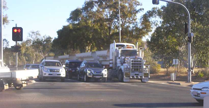
Traffic and a truck. Having a 4-trailer road train pulled up at traffic lights is something you don�t see many places, but common in the Alice.
Expanding my territories with work I moved into the Ross area, where among other things I found another Dodge playing the role of yard art. This one is from about 1924 and is a 4-cylinder flathead:
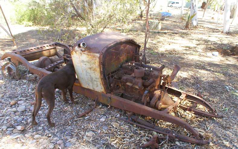
Yard Art Dodge. A young couple own this place and have retained the poor old Dodge relic as a bit of a talking point in their front yard.
Around the corner from them was a more serious car collector. The owner of this R-series Valiant � a very rare model here as only 1200 or so were ever sold before they updated to the S-series (we didn�t have the Q-series at all) � had a couple of left hand drive cars in his shed. Unfortunately I couldn�t get a photo of them but one was a Chev�
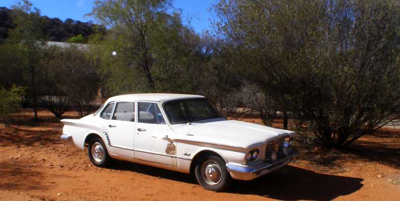
Rare R-series. There�s not many of these left in Australia, rust being the big killer in coastal areas where most of them live/lived, but rust isn�t so much of a problem out here in the desert.
Moving into pickup mode for the Ilparpa and Arumbera areas gave me a chance to get a shot of the camel ride place. The tourists ride and the owner of the business walks in front leading them:
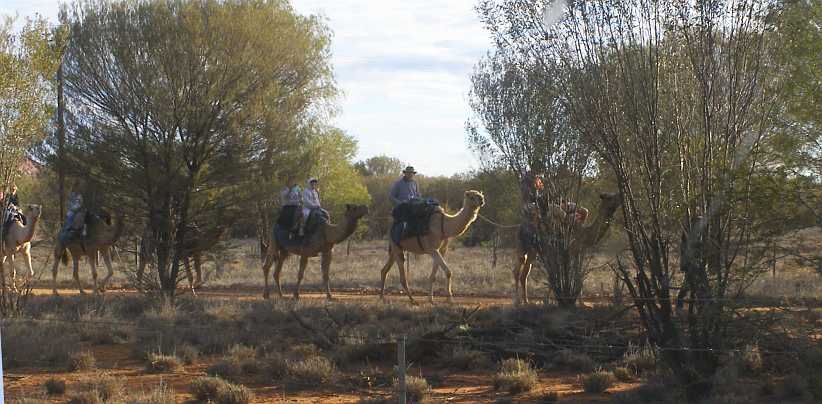
Camel riders. A bit of an adventure for city folk, particularly children, an afternoon stroll through the scrub on a camel is a popular local event.
I went off down the dirt roads alongside the camel riding place and picked up from a lady who�s building a place out in the scrub and also from a man who has a business in town, so by the time I got back the camels were nearly home again�
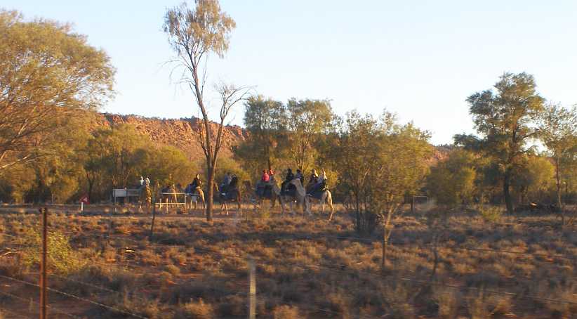
Camel riders return. In the strong afternoon sun the camels head back home. I was then able to get the questionnaire back from the man who�d led them into the distance.
All of this on an eventful day for the van. I was keeping an eye on the miles as they rolled over and it clicked up 100,000 miles when I was in sight of the camel riders:
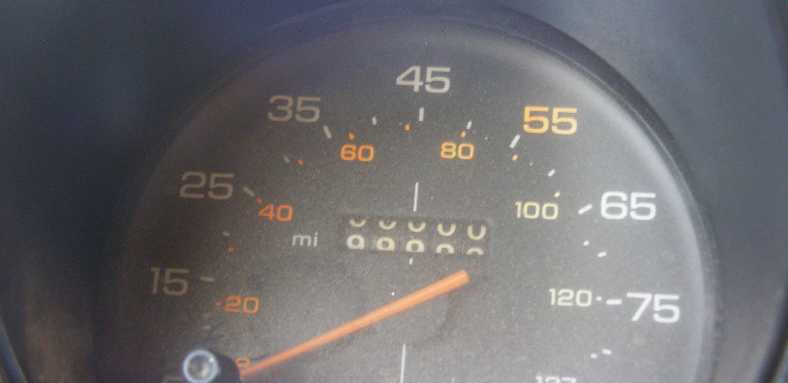
Rolling up the miles. 100,000 miles isn�t a big number for a 1987 model, but I had to record it as it happened.
At this point it had been me who�d run up well over a quarter of the miles the van had done, with that growing to almost a third by the time I got back home. This Dodge, however, had probably done a lot more:
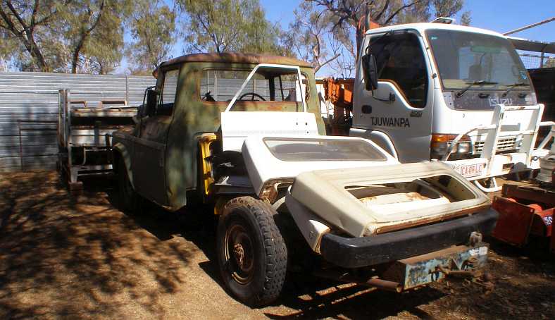
Dodge D5N. Not a Dodge as you�d see elsewhere, but the International-bodied AT4 and D5N models ran from about 1962 into the eighties. This would be the 124� wheelbase model, I�d think, built originally as a light truck with a tray body � indicated by the split rims.
The owner was an interesting resident of Ross. I really should have got photos of more of the stuff he had lying around, pre-war cars included. But as it was, I just got these of the D5N�
Hemi 6 up front. Power for this D5n comes from a 245ci Hemi 6 and it drives through an NP435 4-speed with the classic �granny low gear� they offered.
�and the Morris Commercial from the early fifties. Readers might recall we struck these at the bush camping ground in Wilmington, South Australia, where three of them were used as �yard art� and they embraced the two different engines offered in these.
The early one was around 2-litres and the later Austin engine was 2.2 litres, compression ratios were around 6.8:1 and the bigger engine gave 46bhp. The trucks weighed in at 3,100lbs in chassis/cab form, so they were never going to go anywhere in a hurry�
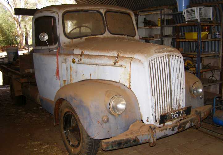
Morris Commercial. Early fifties British truck, underpowered and overweight, it must have created great patience in its drivers.
He also had a couple of engines, one complete�
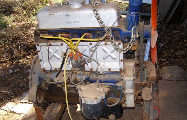
Morris engine. Unlike the Austin engine fitted later, the Morris engine was only ever used in the trucks.
�and one in pieces:
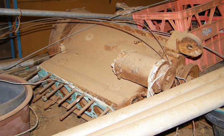
Morris engine dismantled. Lying in the ever-present desert dust, this short motor has no doubt been dismantled for many years.
Still I kept on persevering with placing the questionnaires in yet more areas. The second area at Araluen was in a nicer part of town�
Gardens and views. Built up on a hill, these homes have been placed to get the most of the view of the ranges while their location is away from the more troubled locations where high fences abound.(GE)
�and where I found a gentleman who frequently drives around town in his A-model Ford truck. His home is on this corner:
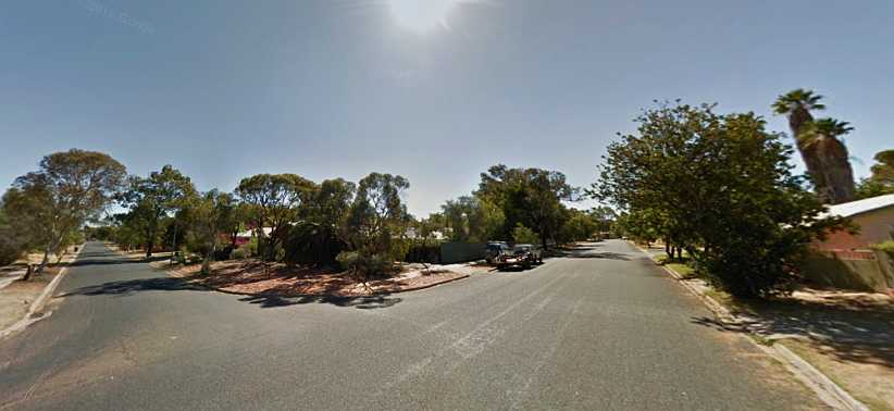
Quieter streets. Once again, the lack of high fences indicates that troubles are less likely here. It�s amazing to me that trouble spots are so confined.(GE)
Still I worked well into the evening doing the work as there�s no point going out and plugging along all day when all you find is that nobody�s at home. After about 3pm through until 7pm or so was the most productive time to do this work as the �rules� required that you go back over the territory up to three times if the whole quota isn�t met first time around � with 18 questionnaires placed in 25 houses visited.
And so this led to an �interesting� situation when I went to a less pleasant area just up the road in Larapinta. It was at this place, and when I got there and the residents were relaxing with a glass of wine as the sun sank in the West:
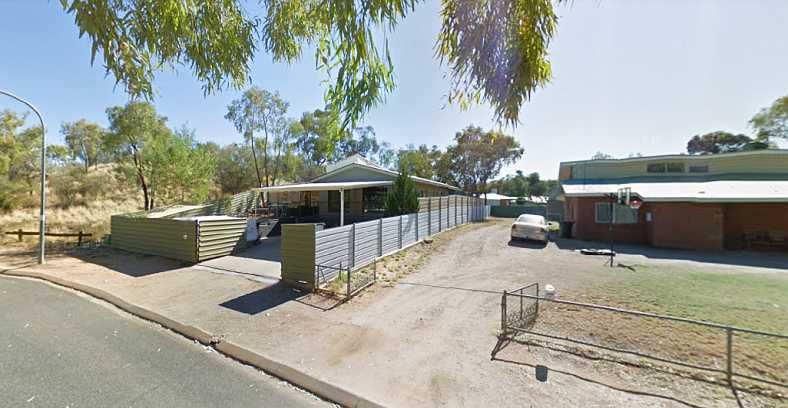
Dogbite. High fences and a big gate, a sure indication that there�s a problem with feral kids and likely a dog inside.(GE)
I was having a pleasant conversation with the people on the landing to the left, leaning on a railing where the front patio area is fenced off. The dog rushed through the house onto the patio and took some skin off my hand.
The people were very helpful and concerned, but I didn�t reckon much of it all and assured them when they sent me a text later that it was okay. In the meantime, however, they advised that the questionnaire, through its online version, had now been completed!
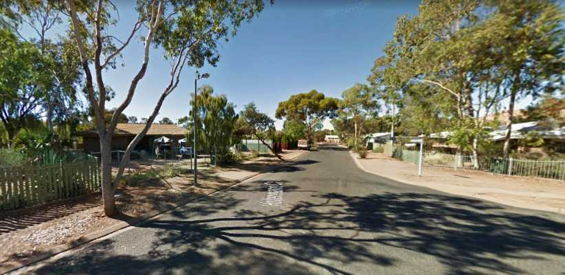 [/url]
Larapinta fences. This street presented a number of problem homes and the fences and general appearance reflect this.(GE)
It was in areas like this that I really wanted to come across someone named �Deona�. This person, or several people with this name, is never home. I would knock on the door and someone would come and see me with my semi-official looking gear and immediately tell me that �Deona isn�t here!�
I reasoned that it must have been the name of a person because Aboriginals generally own nothing, these homes are provided on a rental basis from the governments. So it couldn�t be their rough pronunciation of �The owner� that I was hearing, it had to be a mystery person named �Deona�.
They really meant the head of the house or the tenant and in many cases I�d soon learn that they were indeed there. Resorting to this untruth is just a common way of dealing with people.
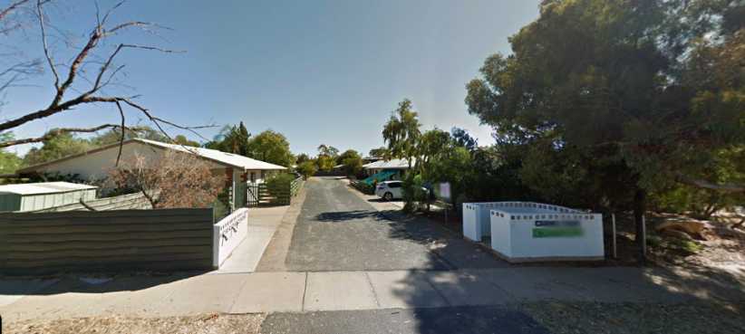
Larapinta flats. I finished off this particular area at these flats, where one lady for some reason got very upset with me. But the other people were happy to help.
A tourist attraction at Larapinta, shown on the map posted earlier, is the Desert Park. I did go in there but didn�t look around and I certainly didn�t take photos. But now I realise that maybe I should have instead of relying on Google to turn out pics of this patch of desert. In fact, I only went into the entry area because I was looking for a toilet, I had work to do.
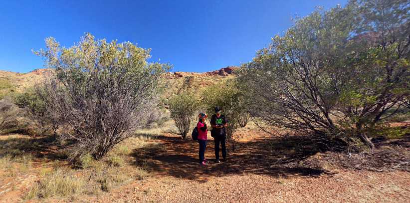
Alice Springs Desert Park. This patch of desert has been set aside to enable its natural characteristics to remain unchanged.(BearBrother)
This is the parking area, which is a fair walk from the main entry area:
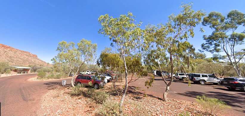
Parking area. It was about this full when I parked there, I always look for shade when I park a vehicle but there was none here.(GE)
As I progressed with the work the time was passing and ultimately I ran out of the three weeks for which the company had booked the unit at the Desert Palms for me. I was going to take a drive to Ayers Rock anyway, so I couldn�t ask them to extend that for me to not be there one night and so I moved myself into the caravan park at Ross for the night before I went to Ayers Rock, which meant I woke early and saw this impact of the rising sun on the range at The Gap:
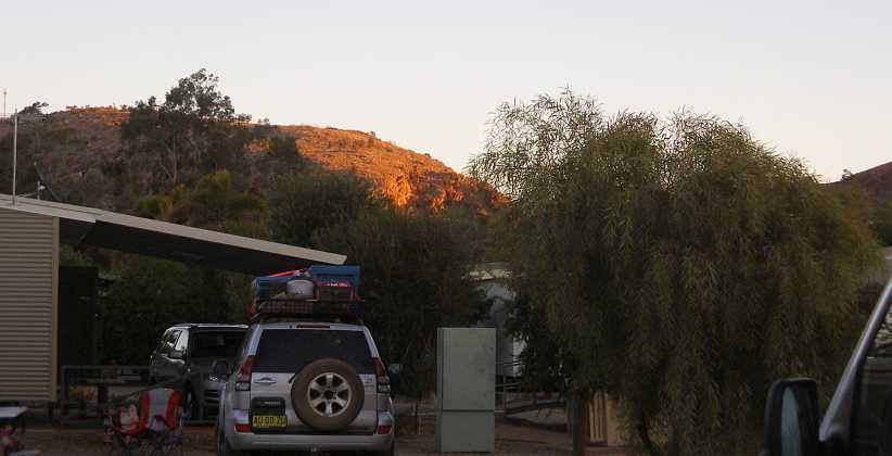
Sun on the range. The strong light from the East at The Gap contrasts with the softer tones of the morning in the camping area.
The camp kitchen here had some nice barbecues, in fact the whole camping area was quite well appointed. This bird added an appropriate amount of colour:
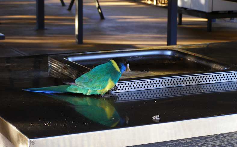
Bird on the barbecue. When people had vacated the camp kitchen the birds came in looking for leftovers.
I had actually considered taking a flight to see the rock as it�s pretty much a 700-mile round trip from the Alice. I drove to the airport one day and tried to find the people who advertise these flights but failed, so driving was definitely the way to go.
Most of my Alice Springs work was done by now, expressions like �light at the end of the tunnel� coming into play, so on Thursday, August 15, I drove out to the best-known Australian landform. I did take plenty of photos and I spent an afternoon and a morning there, including having a look at the Olgas.
So these things will be the subject of the next post�
Expensive front fence. Perhaps a bit of overkill here with this fence, but it would certainly impede (or impale?) anyone trying to get onto the property.
Between fences, locked gates and dogs I struggled a little at times, but ultimately I placed the quota of questionnaires required in streets like this�
More Araluen. The late afternoon sun�s angle throws long shadows on a street where troubled times sometimes come.
�and met people of all kinds as I went. Some people appeared to disregard the problems which led others to put up the high fences:
Araluen fence contrast. For some houses there had been no attention paid to the protective fencing, to others it was more important.
One little surprise I found in this area was an American family, with the method of determining which family member fills out the survey leading to me relying on the 14-year old son. But I did have a good conversation with his father, who works at the Pine Gap base.
This is an example of the level of neglect of some homes:
Messy yard. Take-away wrappings, abandoned toys, derelict (though modern) cars, empty bottles and such are trademarks of some families.
Of course, though I was now putting out materials in these new areas, I was dropping back to the other places as it was now time to pick up the completed surveys. There was one English couple of mature age in Braitling who had a project going:
Boat building in Braitling. It�s a long way from the ocean, but an old seafarer has plans of going back to the salt water one day and he�s working now to complete this boat for the purpose.
A shame I couldn�t get better access to it for better pics, that was taken from outside their fence.
I spotted an interesting personalised number plate on this Jeep:
Personalised plate. Driving back past the turnoff to Anzac Hill, where there�s a lookout on the Northern end of town, I got this shot of the number plate, �NIKQ�, which I guess suggests the owner doesn�t care too much about anyone else.
And at the turnoff where I had to head West to get back to Larapinta I saw this road train of side-tipping trailers:
Traffic and a truck. Having a 4-trailer road train pulled up at traffic lights is something you don�t see many places, but common in the Alice.
Expanding my territories with work I moved into the Ross area, where among other things I found another Dodge playing the role of yard art. This one is from about 1924 and is a 4-cylinder flathead:
Yard Art Dodge. A young couple own this place and have retained the poor old Dodge relic as a bit of a talking point in their front yard.
Around the corner from them was a more serious car collector. The owner of this R-series Valiant � a very rare model here as only 1200 or so were ever sold before they updated to the S-series (we didn�t have the Q-series at all) � had a couple of left hand drive cars in his shed. Unfortunately I couldn�t get a photo of them but one was a Chev�
Rare R-series. There�s not many of these left in Australia, rust being the big killer in coastal areas where most of them live/lived, but rust isn�t so much of a problem out here in the desert.
Moving into pickup mode for the Ilparpa and Arumbera areas gave me a chance to get a shot of the camel ride place. The tourists ride and the owner of the business walks in front leading them:
Camel riders. A bit of an adventure for city folk, particularly children, an afternoon stroll through the scrub on a camel is a popular local event.
I went off down the dirt roads alongside the camel riding place and picked up from a lady who�s building a place out in the scrub and also from a man who has a business in town, so by the time I got back the camels were nearly home again�
Camel riders return. In the strong afternoon sun the camels head back home. I was then able to get the questionnaire back from the man who�d led them into the distance.
All of this on an eventful day for the van. I was keeping an eye on the miles as they rolled over and it clicked up 100,000 miles when I was in sight of the camel riders:
Rolling up the miles. 100,000 miles isn�t a big number for a 1987 model, but I had to record it as it happened.
At this point it had been me who�d run up well over a quarter of the miles the van had done, with that growing to almost a third by the time I got back home. This Dodge, however, had probably done a lot more:
Dodge D5N. Not a Dodge as you�d see elsewhere, but the International-bodied AT4 and D5N models ran from about 1962 into the eighties. This would be the 124� wheelbase model, I�d think, built originally as a light truck with a tray body � indicated by the split rims.
The owner was an interesting resident of Ross. I really should have got photos of more of the stuff he had lying around, pre-war cars included. But as it was, I just got these of the D5N�
Hemi 6 up front. Power for this D5n comes from a 245ci Hemi 6 and it drives through an NP435 4-speed with the classic �granny low gear� they offered.
�and the Morris Commercial from the early fifties. Readers might recall we struck these at the bush camping ground in Wilmington, South Australia, where three of them were used as �yard art� and they embraced the two different engines offered in these.
The early one was around 2-litres and the later Austin engine was 2.2 litres, compression ratios were around 6.8:1 and the bigger engine gave 46bhp. The trucks weighed in at 3,100lbs in chassis/cab form, so they were never going to go anywhere in a hurry�
Morris Commercial. Early fifties British truck, underpowered and overweight, it must have created great patience in its drivers.
He also had a couple of engines, one complete�
Morris engine. Unlike the Austin engine fitted later, the Morris engine was only ever used in the trucks.
�and one in pieces:
Morris engine dismantled. Lying in the ever-present desert dust, this short motor has no doubt been dismantled for many years.
Still I kept on persevering with placing the questionnaires in yet more areas. The second area at Araluen was in a nicer part of town�
Gardens and views. Built up on a hill, these homes have been placed to get the most of the view of the ranges while their location is away from the more troubled locations where high fences abound.(GE)
�and where I found a gentleman who frequently drives around town in his A-model Ford truck. His home is on this corner:
Quieter streets. Once again, the lack of high fences indicates that troubles are less likely here. It�s amazing to me that trouble spots are so confined.(GE)
Still I worked well into the evening doing the work as there�s no point going out and plugging along all day when all you find is that nobody�s at home. After about 3pm through until 7pm or so was the most productive time to do this work as the �rules� required that you go back over the territory up to three times if the whole quota isn�t met first time around � with 18 questionnaires placed in 25 houses visited.
And so this led to an �interesting� situation when I went to a less pleasant area just up the road in Larapinta. It was at this place, and when I got there and the residents were relaxing with a glass of wine as the sun sank in the West:
Dogbite. High fences and a big gate, a sure indication that there�s a problem with feral kids and likely a dog inside.(GE)
I was having a pleasant conversation with the people on the landing to the left, leaning on a railing where the front patio area is fenced off. The dog rushed through the house onto the patio and took some skin off my hand.
The people were very helpful and concerned, but I didn�t reckon much of it all and assured them when they sent me a text later that it was okay. In the meantime, however, they advised that the questionnaire, through its online version, had now been completed!
[/url]Larapinta fences. This street presented a number of problem homes and the fences and general appearance reflect this.(GE)
It was in areas like this that I really wanted to come across someone named �Deona�. This person, or several people with this name, is never home. I would knock on the door and someone would come and see me with my semi-official looking gear and immediately tell me that �Deona isn�t here!�
I reasoned that it must have been the name of a person because Aboriginals generally own nothing, these homes are provided on a rental basis from the governments. So it couldn�t be their rough pronunciation of �The owner� that I was hearing, it had to be a mystery person named �Deona�.
They really meant the head of the house or the tenant and in many cases I�d soon learn that they were indeed there. Resorting to this untruth is just a common way of dealing with people.
Larapinta flats. I finished off this particular area at these flats, where one lady for some reason got very upset with me. But the other people were happy to help.
A tourist attraction at Larapinta, shown on the map posted earlier, is the Desert Park. I did go in there but didn�t look around and I certainly didn�t take photos. But now I realise that maybe I should have instead of relying on Google to turn out pics of this patch of desert. In fact, I only went into the entry area because I was looking for a toilet, I had work to do.
Alice Springs Desert Park. This patch of desert has been set aside to enable its natural characteristics to remain unchanged.(BearBrother)
This is the parking area, which is a fair walk from the main entry area:
Parking area. It was about this full when I parked there, I always look for shade when I park a vehicle but there was none here.(GE)
As I progressed with the work the time was passing and ultimately I ran out of the three weeks for which the company had booked the unit at the Desert Palms for me. I was going to take a drive to Ayers Rock anyway, so I couldn�t ask them to extend that for me to not be there one night and so I moved myself into the caravan park at Ross for the night before I went to Ayers Rock, which meant I woke early and saw this impact of the rising sun on the range at The Gap:
Sun on the range. The strong light from the East at The Gap contrasts with the softer tones of the morning in the camping area.
The camp kitchen here had some nice barbecues, in fact the whole camping area was quite well appointed. This bird added an appropriate amount of colour:
Bird on the barbecue. When people had vacated the camp kitchen the birds came in looking for leftovers.
I had actually considered taking a flight to see the rock as it�s pretty much a 700-mile round trip from the Alice. I drove to the airport one day and tried to find the people who advertise these flights but failed, so driving was definitely the way to go.
Most of my Alice Springs work was done by now, expressions like �light at the end of the tunnel� coming into play, so on Thursday, August 15, I drove out to the best-known Australian landform. I did take plenty of photos and I spent an afternoon and a morning there, including having a look at the Olgas.
So these things will be the subject of the next post�
Thread Starter
|
Captain
Joined: Oct 2005
Posts: 571
Likes: 9
From: The Summit, Queensland, Australia
My morning began in a pretty normal way, I suppose. Breakfast in the camp kitchen, where these doves were looking pretty friendly:
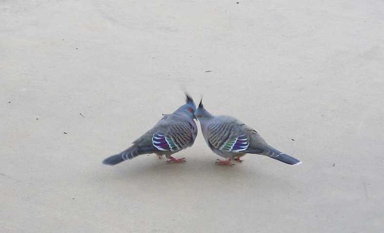
Lovey Dovey? Still the birds kept us company at the camp kitchen, in this instance doves.
A ‘bash’ car had turned up, too. In Australia there are a number of ‘bashes’ for various charities. They are rallies with games attached, fund-raising being the main objective of it all, with the centrepoint being the aging cars being used driving over roads they might never see otherwise.
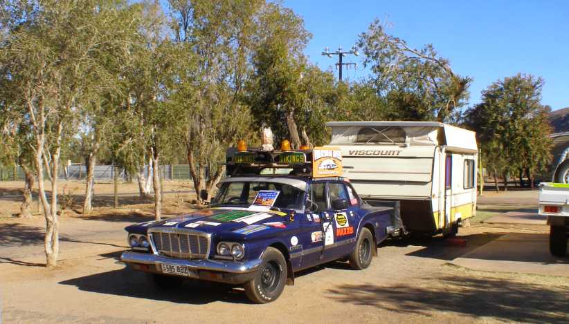
S-series Bash car. I don’t know which ‘bash’ this was on, but it appeared they were either on their way to it or on their way home.
Heading down the highway to the South, it was just on 200kms to the roadhouse and road junction at Erldunda, the first stage of the day’s drive…
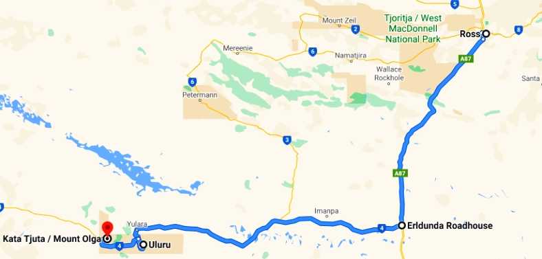
…I pulled in there to get something to eat, which took a while as the place was crowded…
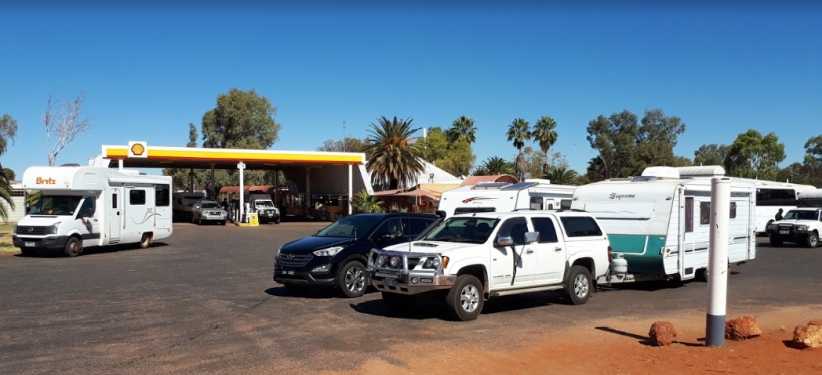
Crowded Erldunda. This photo is from Eddie Otto, it shows that it’s not unusual for the roadhouse to be a very busy place.
…and there were delays inside getting served. But this is the land of ‘wait a while’ I’m told, so everybody waited.
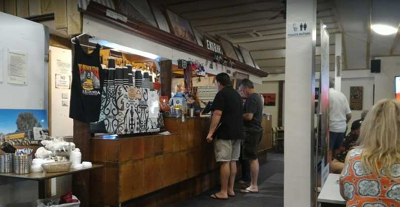
Food at Erldunda. The busy staff were pleasant and the food okay. I got mine to eat as I drove.(Alan Landon)
Even with the waiting it was okay, there were people to talk to from all over the place and the time passed. The 'Barra Burger' (presumably barramundi...) was worth the wait.
It’s worth noting that a trip to Ayers Rock must be one of the most dreamed-of trips of most Australians. It’s such a long way from anywhere, so highly promoted and potentially spectacular. I know that in my family I have just one of four siblings who’ve been there and my parents made it too – but dad was 69 by the time he did. My sister wasn’t quite that old, but I was a bit older.
So going to ‘The Rock’ is a bit of a big deal…
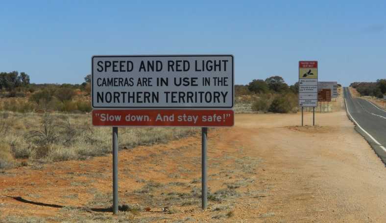
Signs to ‘The Rock’. These signs are at the beginning of the Lasseter Highway indicate that we’ve still got some distance to cover.
The distance from Erldunda to Ayers Rock is about 265kms and the signs asking people to ‘buckle up’ is in German, Italian, I think the third one is Arabic and the bottom line is in an Aboriginal tongue. I don’t think there’s much to worry about in this area with red light cameras. And frankly, the road is good enough to not have any speed limit.
At one point along this road there’s a huge mesa-like mountain way off in the distance to the South. This is Mount Connor:
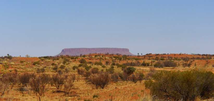
Mount Connor. Mesas aren’t all so common in Australia, but this example shows they do exist.
In time the ‘distant views’ included the form of the Olgas…
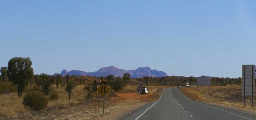
Olgas in sight. The Olgas is a group of domed rocks exposed together over a broad area. The Aboriginal name for them means ‘Many Heads.’
Ultimately the roads turnings and the movement through the hills allowed me to see my quarry. Though that’s not an appropriate turn of phrase here. Ayers Rock started to come into view:
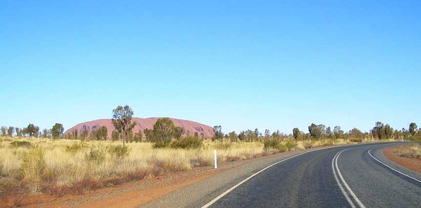
Nearing The Rock. The sheer size doesn’t really impact because of the surroundings not giving a real impression of how far away you are.
Entry to the park isn’t free, either. Like a fancy toll gate, the point at which payment had to be made was a well-built structure:
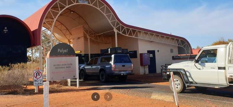
Pay to enter. There would be a lot of upkeep in a park the size of this one and lots of visitors contribute to that.(Bao Nguyen)
From this point the enormity of this single piece of exposed sandstone rises 1142 feet from the flat desert floor around it.
When I went there was much discussion about climbing on the rock. This had always been allowed, with a path with post-and-chain assistance for climbers, and many people were happy to go to the top. But when I was there this was about to be banned as the local tribes were becoming more and more concerned about people trampling on ‘sacred sites’ they said were involved.
This explained why there were so many more people visiting than usual, though it was the peak time anyway as trundling out here in Summer would involve some extreme temperatures.
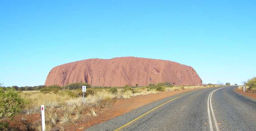
Short side. This view is the shorter side of the rock, only a mile and a half across from this angle.
The park has distinct viewing areas for tourists, though it’s possible also to use walking trails:
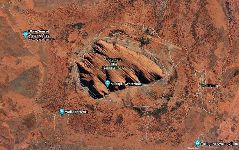
Viewing areas. The sunset viewing area marked here is where I would head later in the day, the next morning I would be going to the area marked ‘Talinguru Nyakunytjaku’ for the sunrise view.(GE)
In the top left corner of that aerial view there’s a bit of a loop and parking area. That’s where tourist coaches park for the sunset, so it’s an alternative sunset viewing spot which is a bit higher than the other one.
With a bit of time before the sunset was due I headed out to the West to the Olgas – about twenty miles…
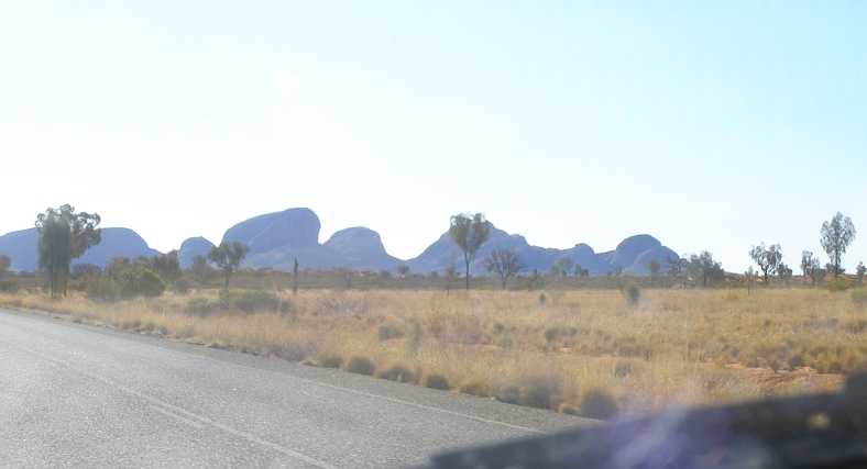
Heading for the Olgas. A short drive after the trip from Alice Springs, with the Olgas visible for most of the distance.
…where a haze tended to detract from the photos:
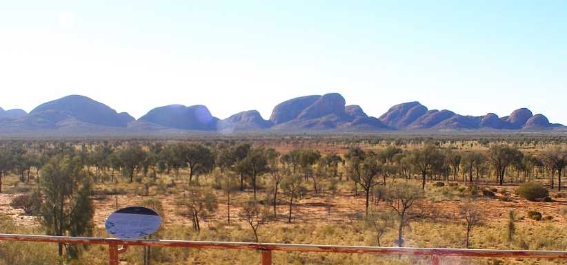
The Olgas. After a bit of a walk from the carpark, a viewing platform provided views like this.
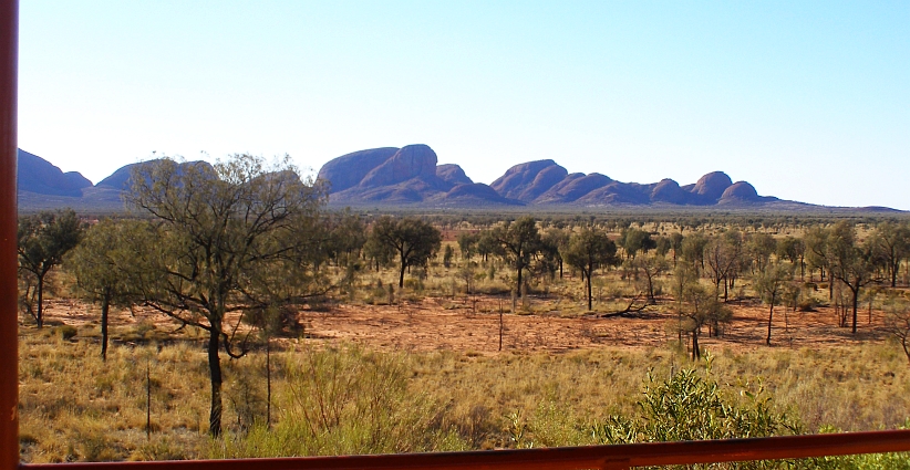
Desert scenery. Due to the haze it’s a much better view of the desert scrub and grass than the rocks.
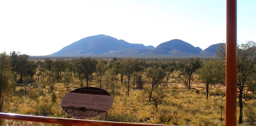
Unearthed. It’s hard to conceive what wind and water erosion had to take place to expose these rocks, and how long it took to happen.
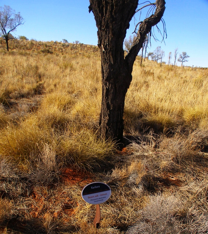
Informative. Signs alongside the walkway from the carpark gave descriptions of the plants – this is a mature Desert Oak.
There was more information about the surroundings, and this sign made it clear just how big the Olgas are compared to Ayers Rock:
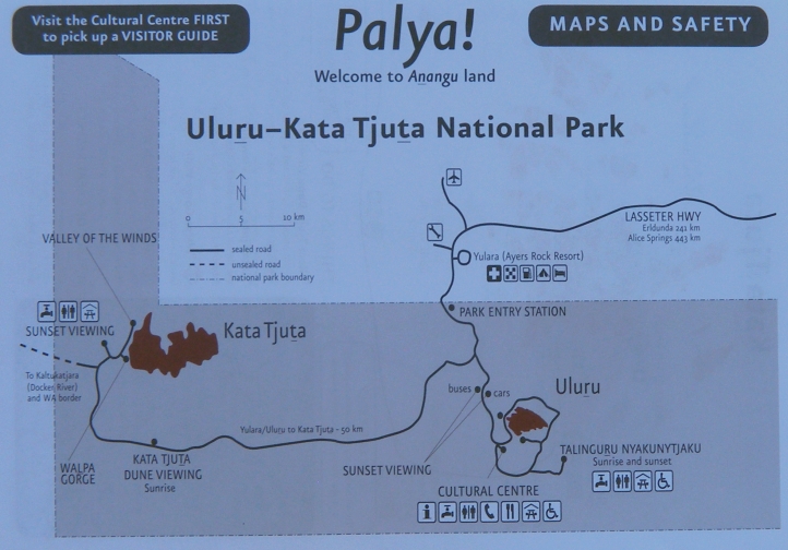
Park map. From this it appears that the Olgas cover an area about five times the size of Ayers Rock.
Like the Grand Canyon, sunset is a very important time to be in a good viewing spot at Ayers Rock. I drove back to the parking area and there was a number of cars there, I found a spot between some of them and started talking to people as we awaited the sun’s final fling for the day.
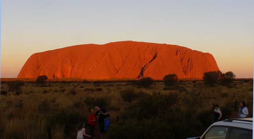
Sunset viewing. The horizon’s shadow has crept across the grasslands while the colour of the rock has changed with the colouring of the setting sun shining on it.
The carpark was fairly full and people were walking along the fencelines. The couple parked alongside me were from Central Victoria and had set up a phone to take time-lapse pictures every ten seconds – which I now know would have turned out wonderfully well. I climbed the ladder on the back of the van for a better look.
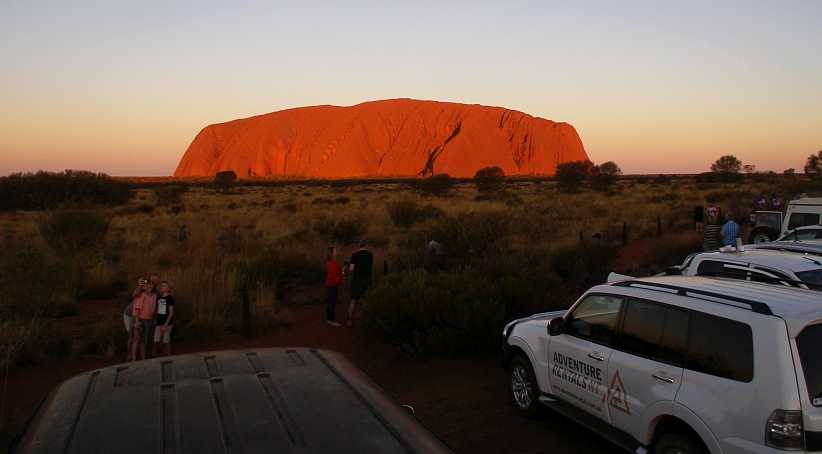
Wider view. The setting is all primed for the big event here and many cameras were at the ready.
It was, it seemed, a good time to get a family ‘selfie’…
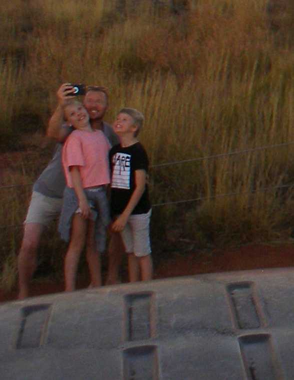
Family selfie. Craning necks to get into the picture with the rock in the background, this young family is all smiles.
…while in time the sun’s progress became obvious:
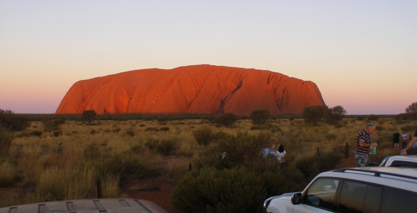
Shadow rising. After all the waiting, the day’s final light has gone from the lower right section of the rock. We watched as it progressed.
There would now be no stopping it coming to its conclusion as dusk arrived…
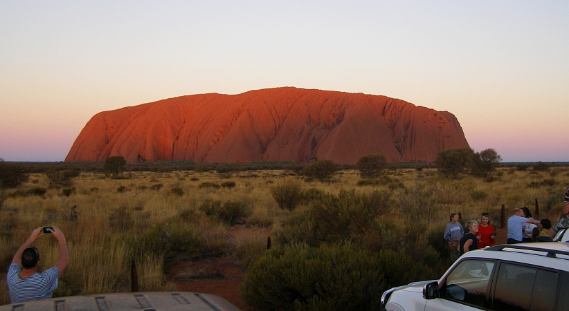
Creeping upwards. More of the plainer colour is visible as the brightness of the sun’s last moments is restricted to the higher points.
…and the brightness went away:
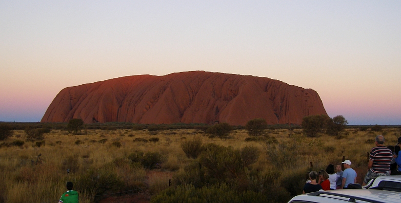
Last glimpse. Only the final part at the top gives any indication that the sun’s been shining on this massive piece of sandstone for all the daylight hours.
The show was over. People turned to talk to each other about what they’d seen, looked at their photos, compared notes. Many were there as part of a ‘package’ which included accommodation and meals at the Yulara village, these and others started to hurry away as if on an important timetable of which their time looking at the rock had done it’s dash.
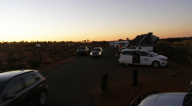
Exodus begins. Leaving by the number, those who wanted to be first in the queue for a meal, or had other places to go, started to vacate the viewing area.
As they went, the depth of shadow increased over the monolith. There was a tinge of a reflection of the sunset from the Western sky visible in the East and newly-acquainted friends who remained talked over their day. My conversation with the couple from Victoria went on and, even though it seemed the show was all over, their phone was still recording the pictures every ten seconds.
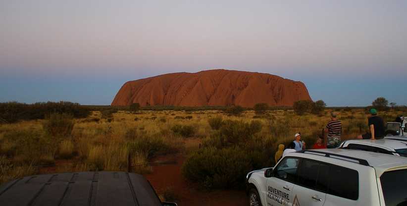
Sunset’s final colour. The sunset’s colour is reflected in the East as the inevitability of the coming darkness comes upon those who haven’t left.
Soon it was to become the time to feel sorry for those who had left, for we who stayed for that little longer were about to be totally overcome with something I have since come to call the ‘Main Event’…
Lovey Dovey? Still the birds kept us company at the camp kitchen, in this instance doves.
A ‘bash’ car had turned up, too. In Australia there are a number of ‘bashes’ for various charities. They are rallies with games attached, fund-raising being the main objective of it all, with the centrepoint being the aging cars being used driving over roads they might never see otherwise.
S-series Bash car. I don’t know which ‘bash’ this was on, but it appeared they were either on their way to it or on their way home.
Heading down the highway to the South, it was just on 200kms to the roadhouse and road junction at Erldunda, the first stage of the day’s drive…
…I pulled in there to get something to eat, which took a while as the place was crowded…
Crowded Erldunda. This photo is from Eddie Otto, it shows that it’s not unusual for the roadhouse to be a very busy place.
…and there were delays inside getting served. But this is the land of ‘wait a while’ I’m told, so everybody waited.
Food at Erldunda. The busy staff were pleasant and the food okay. I got mine to eat as I drove.(Alan Landon)
Even with the waiting it was okay, there were people to talk to from all over the place and the time passed. The 'Barra Burger' (presumably barramundi...) was worth the wait.
It’s worth noting that a trip to Ayers Rock must be one of the most dreamed-of trips of most Australians. It’s such a long way from anywhere, so highly promoted and potentially spectacular. I know that in my family I have just one of four siblings who’ve been there and my parents made it too – but dad was 69 by the time he did. My sister wasn’t quite that old, but I was a bit older.
So going to ‘The Rock’ is a bit of a big deal…
Signs to ‘The Rock’. These signs are at the beginning of the Lasseter Highway indicate that we’ve still got some distance to cover.
The distance from Erldunda to Ayers Rock is about 265kms and the signs asking people to ‘buckle up’ is in German, Italian, I think the third one is Arabic and the bottom line is in an Aboriginal tongue. I don’t think there’s much to worry about in this area with red light cameras. And frankly, the road is good enough to not have any speed limit.
At one point along this road there’s a huge mesa-like mountain way off in the distance to the South. This is Mount Connor:
Mount Connor. Mesas aren’t all so common in Australia, but this example shows they do exist.
In time the ‘distant views’ included the form of the Olgas…
Olgas in sight. The Olgas is a group of domed rocks exposed together over a broad area. The Aboriginal name for them means ‘Many Heads.’
Ultimately the roads turnings and the movement through the hills allowed me to see my quarry. Though that’s not an appropriate turn of phrase here. Ayers Rock started to come into view:
Nearing The Rock. The sheer size doesn’t really impact because of the surroundings not giving a real impression of how far away you are.
Entry to the park isn’t free, either. Like a fancy toll gate, the point at which payment had to be made was a well-built structure:
Pay to enter. There would be a lot of upkeep in a park the size of this one and lots of visitors contribute to that.(Bao Nguyen)
From this point the enormity of this single piece of exposed sandstone rises 1142 feet from the flat desert floor around it.
When I went there was much discussion about climbing on the rock. This had always been allowed, with a path with post-and-chain assistance for climbers, and many people were happy to go to the top. But when I was there this was about to be banned as the local tribes were becoming more and more concerned about people trampling on ‘sacred sites’ they said were involved.
This explained why there were so many more people visiting than usual, though it was the peak time anyway as trundling out here in Summer would involve some extreme temperatures.
Short side. This view is the shorter side of the rock, only a mile and a half across from this angle.
The park has distinct viewing areas for tourists, though it’s possible also to use walking trails:
Viewing areas. The sunset viewing area marked here is where I would head later in the day, the next morning I would be going to the area marked ‘Talinguru Nyakunytjaku’ for the sunrise view.(GE)
In the top left corner of that aerial view there’s a bit of a loop and parking area. That’s where tourist coaches park for the sunset, so it’s an alternative sunset viewing spot which is a bit higher than the other one.
With a bit of time before the sunset was due I headed out to the West to the Olgas – about twenty miles…
Heading for the Olgas. A short drive after the trip from Alice Springs, with the Olgas visible for most of the distance.
…where a haze tended to detract from the photos:
The Olgas. After a bit of a walk from the carpark, a viewing platform provided views like this.
Desert scenery. Due to the haze it’s a much better view of the desert scrub and grass than the rocks.
Unearthed. It’s hard to conceive what wind and water erosion had to take place to expose these rocks, and how long it took to happen.
Informative. Signs alongside the walkway from the carpark gave descriptions of the plants – this is a mature Desert Oak.
There was more information about the surroundings, and this sign made it clear just how big the Olgas are compared to Ayers Rock:
Park map. From this it appears that the Olgas cover an area about five times the size of Ayers Rock.
Like the Grand Canyon, sunset is a very important time to be in a good viewing spot at Ayers Rock. I drove back to the parking area and there was a number of cars there, I found a spot between some of them and started talking to people as we awaited the sun’s final fling for the day.
Sunset viewing. The horizon’s shadow has crept across the grasslands while the colour of the rock has changed with the colouring of the setting sun shining on it.
The carpark was fairly full and people were walking along the fencelines. The couple parked alongside me were from Central Victoria and had set up a phone to take time-lapse pictures every ten seconds – which I now know would have turned out wonderfully well. I climbed the ladder on the back of the van for a better look.
Wider view. The setting is all primed for the big event here and many cameras were at the ready.
It was, it seemed, a good time to get a family ‘selfie’…
Family selfie. Craning necks to get into the picture with the rock in the background, this young family is all smiles.
…while in time the sun’s progress became obvious:
Shadow rising. After all the waiting, the day’s final light has gone from the lower right section of the rock. We watched as it progressed.
There would now be no stopping it coming to its conclusion as dusk arrived…
Creeping upwards. More of the plainer colour is visible as the brightness of the sun’s last moments is restricted to the higher points.
…and the brightness went away:
Last glimpse. Only the final part at the top gives any indication that the sun’s been shining on this massive piece of sandstone for all the daylight hours.
The show was over. People turned to talk to each other about what they’d seen, looked at their photos, compared notes. Many were there as part of a ‘package’ which included accommodation and meals at the Yulara village, these and others started to hurry away as if on an important timetable of which their time looking at the rock had done it’s dash.
Exodus begins. Leaving by the number, those who wanted to be first in the queue for a meal, or had other places to go, started to vacate the viewing area.
As they went, the depth of shadow increased over the monolith. There was a tinge of a reflection of the sunset from the Western sky visible in the East and newly-acquainted friends who remained talked over their day. My conversation with the couple from Victoria went on and, even though it seemed the show was all over, their phone was still recording the pictures every ten seconds.
Sunset’s final colour. The sunset’s colour is reflected in the East as the inevitability of the coming darkness comes upon those who haven’t left.
Soon it was to become the time to feel sorry for those who had left, for we who stayed for that little longer were about to be totally overcome with something I have since come to call the ‘Main Event’…
Last edited by Ray Bell; Mar 15, 2021 at 11:18 PM.
Thread Starter
|
Captain
Joined: Oct 2005
Posts: 571
Likes: 9
From: The Summit, Queensland, Australia
For the moment those who hadn’t driven away spent time getting better acquainted and simply watching the cars roll out of the carpark of the viewing area…
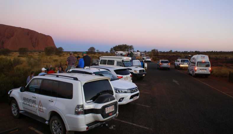
Crowd leaving. The departing numbers increased for a short while, all manner of vehicles had been at the viewing area.
It wasn’t until later someone explained to me that many of them would have had schedules to keep in the nearby ‘civilised’ part of the desert. Yulara offered different types of accommodation according to the size of your wallet:
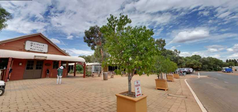
Outback lodge. A motel with extras runs back from this facade and it fills fast at this time of the year.(GE)
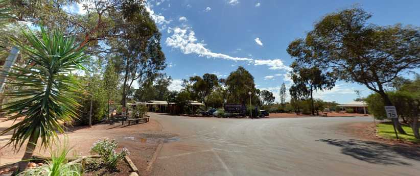
Campground popular. This camping ground attracts those who arrive with caravans, tents and motorhomes.(Tracy Ryan)
Sails in the Desert. More upmarket is this kind of resort, aimed at the people who arrive by air or who want more luxury for their stay.(GE)
Inside the sails. ‘Lavish’ is a word which can be applied to Sails in the Desert.(Tracy Ryan)
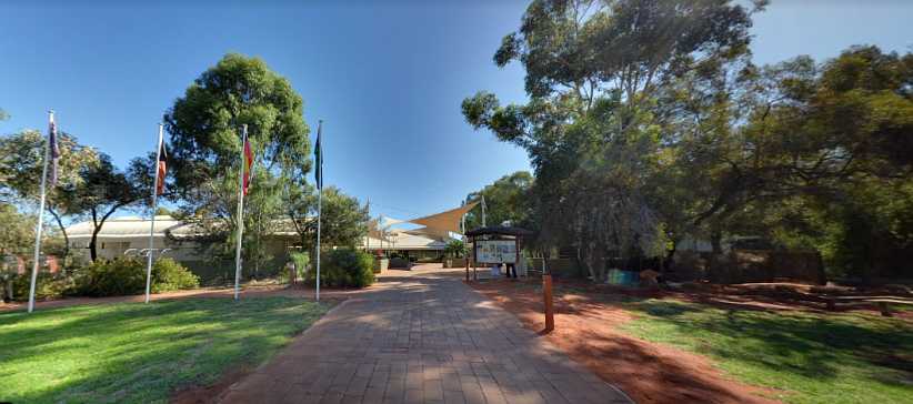
Retail therapy available. The shopping centre is not far away, with much to offer souvenir hunters.(Tracy Ryan)
Eating places and car rental agencies, tourist information outlets and many other kinds of shops are there. A newsagency, a Post Office, places selling hats included.
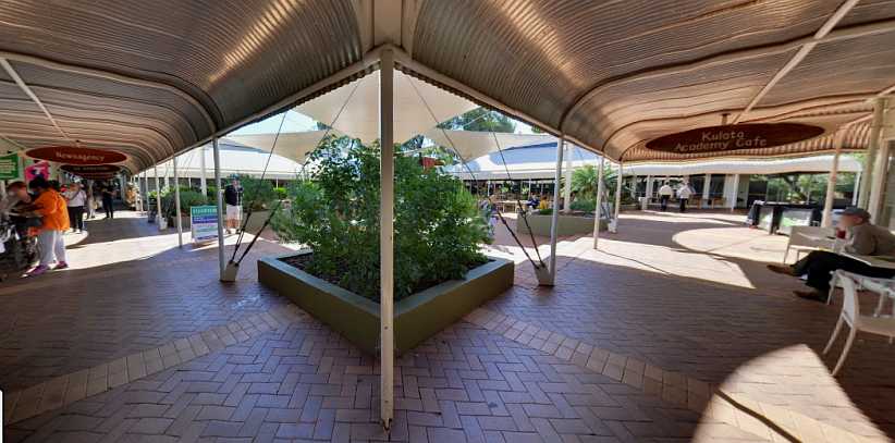
Shop in comfort. While there’s an ordinary supermarket around the corner from the cafe, there are also designer clothes on offer at a couple of shops.(Tracy Ryan)
My new friends. We were having a good time, the lady here is the one with the phone still set up for its every-10-seconds exposures, the man is a joker who came along to tell me the police were after me or something silly.
And as we talked and joked, we all got a nice surprise:
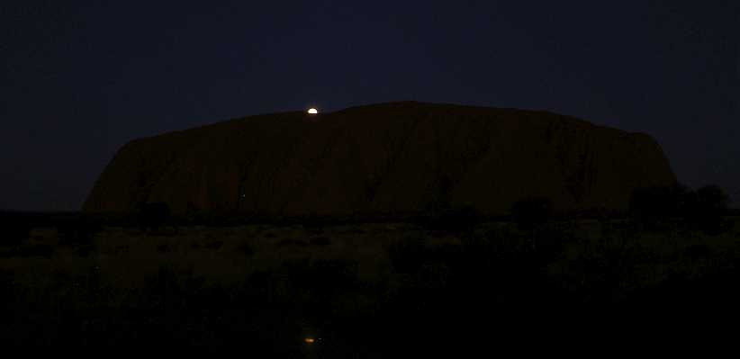
Surprise arrival. Perhaps there were people there who knew this would come, but it wasn’t us. The full moon began to show itself over Ayers Rock. Note the little reflection on the roof of the Dodge.
More spectacular than the setting sun, this would entrance us for quite a while. And as it was getting darker all the time, photographing it was getting harder.
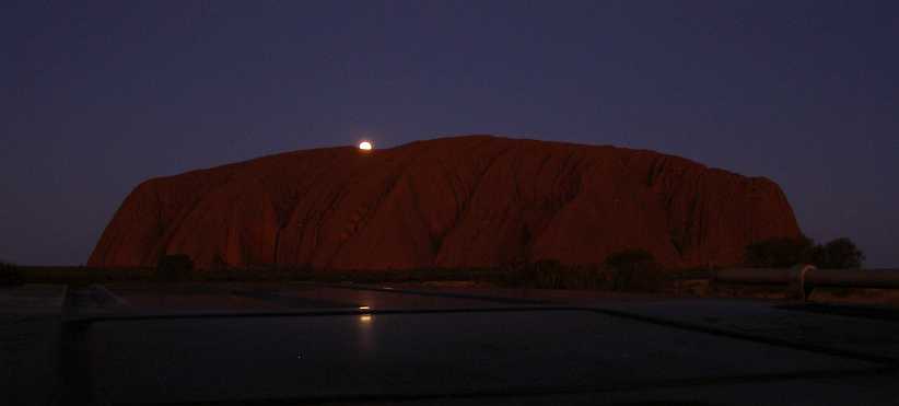
Longer exposure. The darkness was demanding longer exposure times, I sat the camera on the roof of the van so it would be steady for this…
…but it was getting too hard for the little Olympus. After another shot I had to think again:
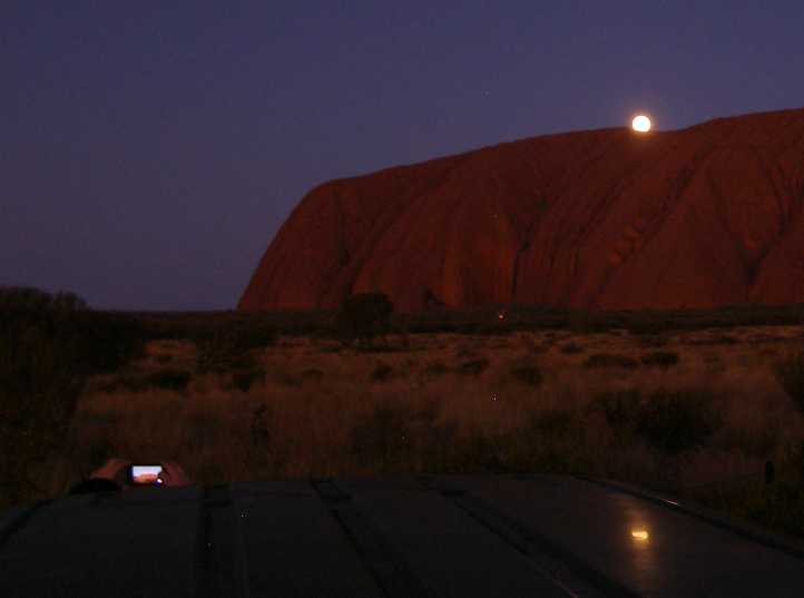
Camera pics and fire. I could see that using the phone would open up more possibilities as it got darker, there was evidence of this right before my eyes as others were using them.
And though I hate thinking of a phone as a camera I had to get mine out and use it. Here we also have the first glimpse of a fire at the base of the rock where burning off was being carried out to control fire risks.
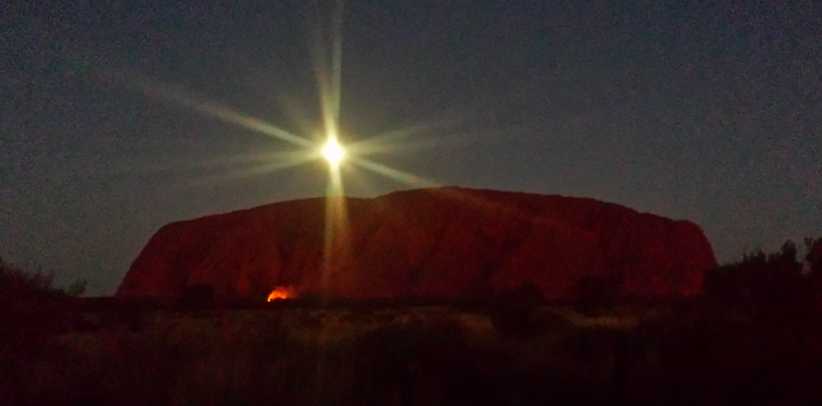
From my phone. With the full moon rising high and the burning off glowing brightly, my final pictures have gone on to surprise many to whom I’ve showed them.
Satisfied with the spectacle, we all gradually turned to leave. I drove off to Yulara and looked around, nothing appealed to me in the restaurants and little in the cafes (remembering my allergy), so I finished up buying a little food from the IGA supermarket. I sat in my van in the carpark to eat it and phone Sandra…
Yulara carpark. This is around the back of the shops near the IGA. As I nibbled on my ‘dinner’ and spoke to Sandra a security guard came to speak to me.(GE)
Houlton all over again! I was warned that it wasn’t allowed to camp in the carpark, that I’d have to get right out of Yulara if I wasn’t staying in one of the accommodation places they had there.
So, after going online very briefly, I drove back up the Lasseter Highway a bit of a distance, perhaps 15kms, and found a group of motorhomes pulled up for the night in an area formerly used as a gravel dump by roadbuilders:
Camping spot. This was the spot where about four motorhomes and a caravan were staying the night, so I joined them.(GE)
It was getting late now so I didn’t get to talk to anyone here. I was out of phone signal and therefore had no internet here. I put my devices on charge and lay back in the van’s bed hoping to wake up early enough to get back into the park for the sunrise viewing…
Crowd leaving. The departing numbers increased for a short while, all manner of vehicles had been at the viewing area.
It wasn’t until later someone explained to me that many of them would have had schedules to keep in the nearby ‘civilised’ part of the desert. Yulara offered different types of accommodation according to the size of your wallet:
Outback lodge. A motel with extras runs back from this facade and it fills fast at this time of the year.(GE)
Campground popular. This camping ground attracts those who arrive with caravans, tents and motorhomes.(Tracy Ryan)
Sails in the Desert. More upmarket is this kind of resort, aimed at the people who arrive by air or who want more luxury for their stay.(GE)
Inside the sails. ‘Lavish’ is a word which can be applied to Sails in the Desert.(Tracy Ryan)
Retail therapy available. The shopping centre is not far away, with much to offer souvenir hunters.(Tracy Ryan)
Eating places and car rental agencies, tourist information outlets and many other kinds of shops are there. A newsagency, a Post Office, places selling hats included.
Shop in comfort. While there’s an ordinary supermarket around the corner from the cafe, there are also designer clothes on offer at a couple of shops.(Tracy Ryan)
My new friends. We were having a good time, the lady here is the one with the phone still set up for its every-10-seconds exposures, the man is a joker who came along to tell me the police were after me or something silly.
And as we talked and joked, we all got a nice surprise:
Surprise arrival. Perhaps there were people there who knew this would come, but it wasn’t us. The full moon began to show itself over Ayers Rock. Note the little reflection on the roof of the Dodge.
More spectacular than the setting sun, this would entrance us for quite a while. And as it was getting darker all the time, photographing it was getting harder.
Longer exposure. The darkness was demanding longer exposure times, I sat the camera on the roof of the van so it would be steady for this…
…but it was getting too hard for the little Olympus. After another shot I had to think again:
Camera pics and fire. I could see that using the phone would open up more possibilities as it got darker, there was evidence of this right before my eyes as others were using them.
And though I hate thinking of a phone as a camera I had to get mine out and use it. Here we also have the first glimpse of a fire at the base of the rock where burning off was being carried out to control fire risks.
From my phone. With the full moon rising high and the burning off glowing brightly, my final pictures have gone on to surprise many to whom I’ve showed them.
Satisfied with the spectacle, we all gradually turned to leave. I drove off to Yulara and looked around, nothing appealed to me in the restaurants and little in the cafes (remembering my allergy), so I finished up buying a little food from the IGA supermarket. I sat in my van in the carpark to eat it and phone Sandra…
Yulara carpark. This is around the back of the shops near the IGA. As I nibbled on my ‘dinner’ and spoke to Sandra a security guard came to speak to me.(GE)
Houlton all over again! I was warned that it wasn’t allowed to camp in the carpark, that I’d have to get right out of Yulara if I wasn’t staying in one of the accommodation places they had there.
So, after going online very briefly, I drove back up the Lasseter Highway a bit of a distance, perhaps 15kms, and found a group of motorhomes pulled up for the night in an area formerly used as a gravel dump by roadbuilders:
Camping spot. This was the spot where about four motorhomes and a caravan were staying the night, so I joined them.(GE)
It was getting late now so I didn’t get to talk to anyone here. I was out of phone signal and therefore had no internet here. I put my devices on charge and lay back in the van’s bed hoping to wake up early enough to get back into the park for the sunrise viewing…
Last edited by Ray Bell; Feb 23, 2021 at 01:32 AM.
Thread Starter
|
Captain
Joined: Oct 2005
Posts: 571
Likes: 9
From: The Summit, Queensland, Australia
My apologies to all...
I had incorrectly pre-set a size on my images when I posted the last two posts and thus the images showed up smaller than they should.
This has now been corrected.
I had incorrectly pre-set a size on my images when I posted the last two posts and thus the images showed up smaller than they should.
This has now been corrected.