

Ride along with me...


Thread Starter
|
Captain

Joined: Oct 2005
Posts: 568
Likes: 8
From: The Summit, Queensland, Australia
I mentioned difficulties with the house. The owners had been in the habit of renting it to multiple families or couples who were working for contractors on major jobs in the area. And we came along and applied, a couple of – well – mature age. This didn’t seem right to them.
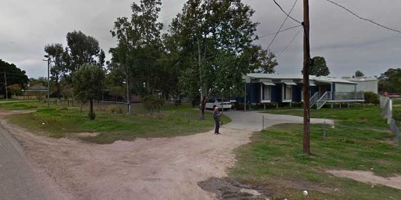
We’d looked at quite a few homes and were tiring of it. Mostly newer than this one and often further from where we wanted to be. This one was older, had been altered over the years, didn’t have much covered car accommodation (or storage) and wasn’t the best-looking place. But it was in a good area and it had some features which appealed to us.
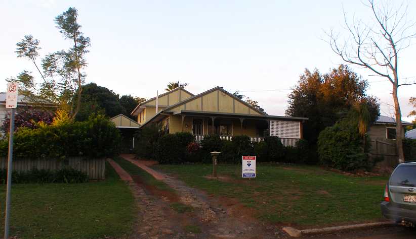
The house. Another old place which had seen a few extensions, it was well-located and gave us room we wanted.
We were also looking ahead to when Sandra’s youngest son could return from Cambodia with his family, who would be able to live with us.
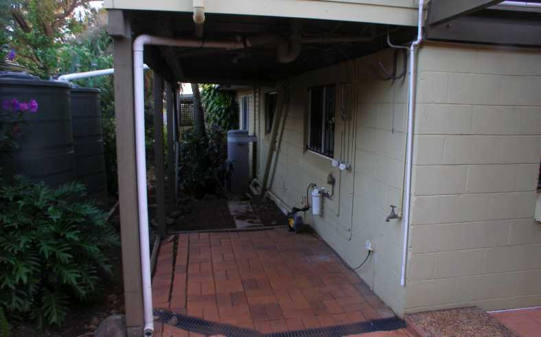
Underneath. This area is under a section of the upstairs and I could see it as somewhere I could have an enclosure to use as a workshop in the absence of a decent shed.
At least Sandra’s Falcon would be able to shelter, and close to the main entry door:
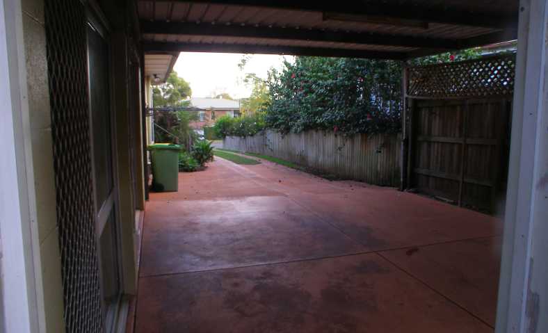
Carport. Unfortunately not big enough for two cars, this carport adjoins the entry to the family room area.
We applied to rent it, but were rejected. I made a plea to the agents to consider some things. First, there was a swimming pool…
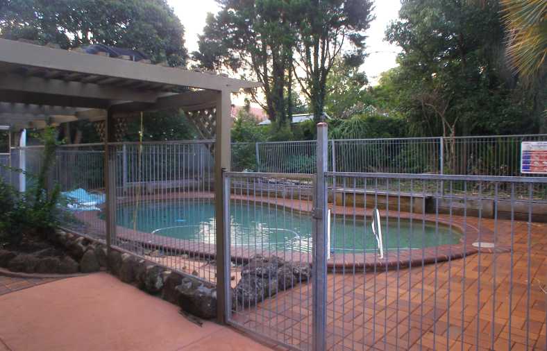
The pool. In the ‘season’ when the public pools were open, Sandra had been racing off early in the morning to use the Highfields pool (10kms away) before others got in and sullied the water. With her own pool she could extend the months of use and not have to go anywhere to do it – as well as having it available any time of the day.
… this was almost a necessity for Sandra to exercise her back and she would use it most of the year. Thus it would be looked after and kept clean, unlike its present condition. Second, there was an assertion that we wouldn’t be able to afford it as the young people had been doing.
I set forth good reasons to show that we were actually going to be paying less rent than we had been just six months earlier. Then there were the gardens, I pointed out that Sandra loved her gardening and these would be kept under control.
Finally the agents, after consulting the owner, came back with an offer. We could have a 6-month lease which should be regarded as a trial, if the owners saw that we were meeting the obligations they’d give us a longer lease.
All the while, life went on, regular trips every weekend for work…
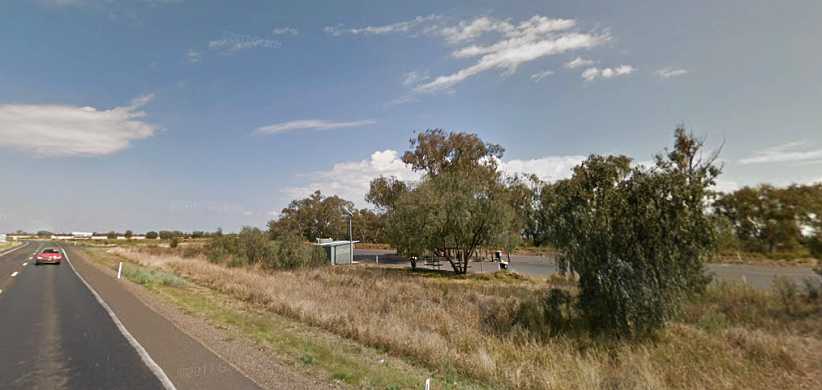
Power Wagon at Nobby. Dodge Power Wagons aren’t very common in Australia, this one is nicely restored and used, obviously, for advertising.
… though this wasn’t far from home. I thought this solar gate setup was interesting, but it barred my way:
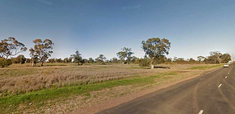
Solar-powered gate. Out from Nobby I was working in an area with large farms such as this one, though this was the only one with a gate like this.
The same weekend I met someone, in the second area in which I worked, who just loves the car he’s restored:
Morris 1100. The restoration has cost him a lot of money, particularly the paint job. I hope it’s fun to drive.
Again I was busy with everything going on. Little jobs on the Forester, on the van (fitting the new clutch linkages) and on Sandra’s car (change the brake fluid) as well as preparation to move house, running around signing the lease and working out things like how to keep the weather out of my ‘workshop’ area. And every weekend, off to work. The last week of April I went off to Tamworth, the following week to Reserve Creek, in the scrub near Murwillumbah, and South Tweed Heads.
Reserve Creek was a pretty place, farmlets with long driveways, interesting people…

Reserve Creek hilltop. From Street View, there’s two driveways here, one in front of and one behind that shed. My job entails finding every house, some are sneaky.
…and some with interesting solutions to interesting problems:
Narrow bridge. The owner of this place salvaged some disused concrete beams from an old bridge to get across his little creek. He told me he could have used another beam, certainly the driver of a cement mixer making a delivery was wary of it.
The reward for being in places like this is the pleasant scenery:
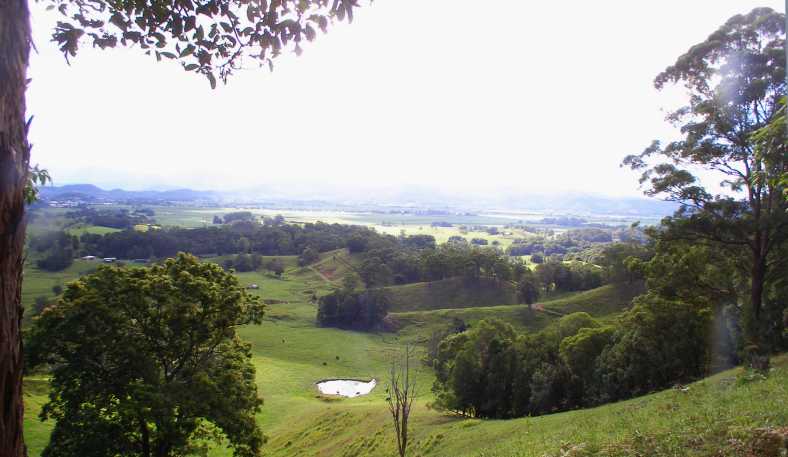
Reserve Creek view. As the road crossed several ridges it produced views well worth looking at.
South Tweed Heads was all urban, of course, but when I stopped to have a bite to eat I saw an interesting sight:
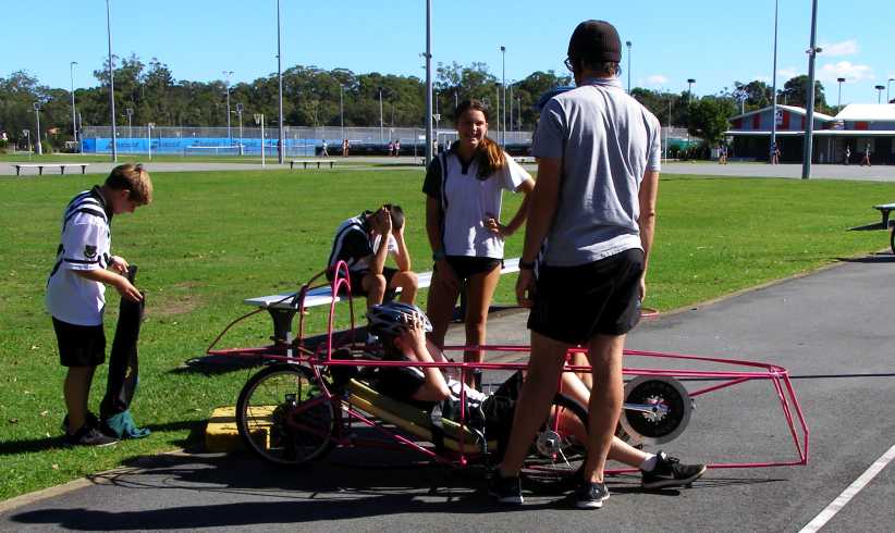
School speedster. Members of a local school team out practising using their school project human-powered device.
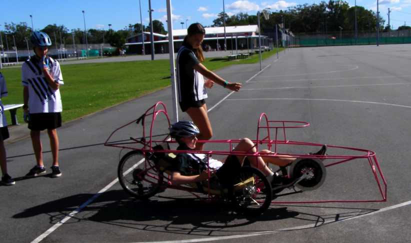
Away he goes! With plenty of advice on how to do it, too. With a streamlined body it would be competing in a 24-hour race in Brisbane a few weeks later.
Sandra, meanwhile, was having a plant sale at home in preparation for our move…
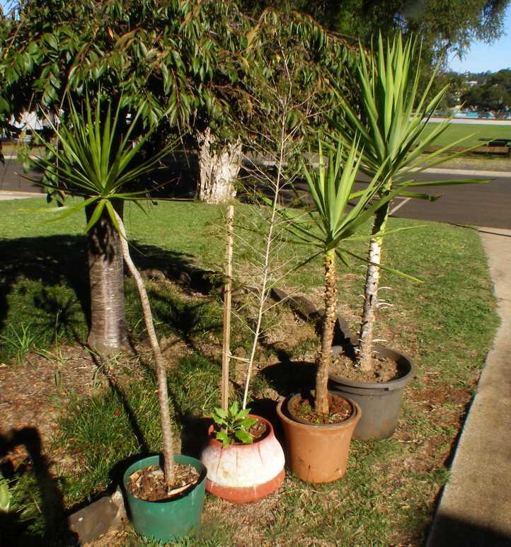
Plant sale. Just a few of the many plants Sandra was trying to sell so there was less of this kind of thing to move.
…while I ‘escaped’ during the latter part of the week for the briefing for the upcoming Drug Survey work. This was held on the Gold Coast and would lead into me working in that area (at Palm Beach) after the briefing. On the way down I had to be very patient awaiting these roadworks traffic lights near Beaudesert – which took ten minutes to change!
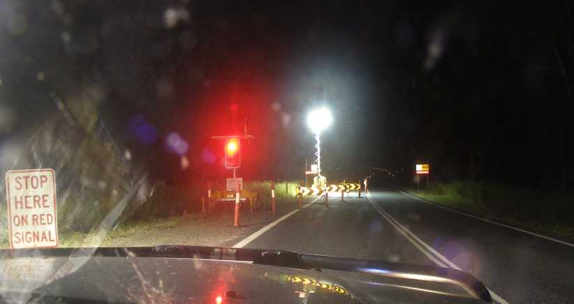
Roadworks. No work was happening in the middle of the night, but the lights delayed me much longer than was needed.
The briefing was in a hotel at Surfers Paradise and they accommodated me there for the briefing and the Palm Beach job. Looking out the window from my room…
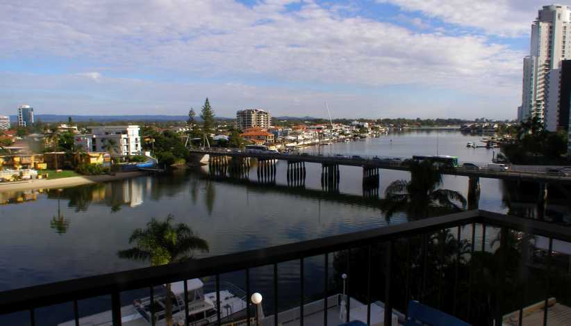
Chevron bridge. Chevron Island was among the very first ‘canal estate’ areas opened in Australia, it’s reached across this bridge.
…there were views which wouldn’t have been dreamed of in this area fifty years ago. Today it’s all built out and there’s plenty of high-rise too:
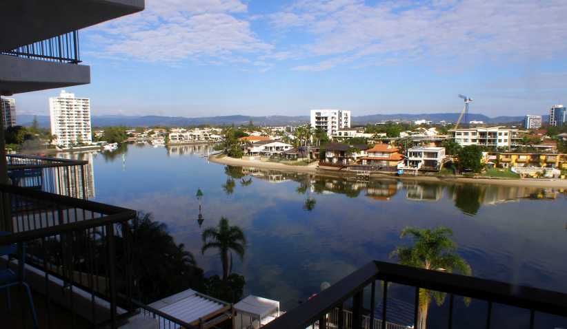
Looking South. Turning the other way reveals that there’s not much green space left in the immediate area.
Preparations for my big trip went on, the camp stove I’d bought at Walmart in 2016 used small one-use gas bottles, but these were way too expensive in Australia and I bought this adaptor line so I could use a larger refillable bottle:
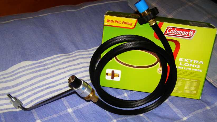
Gas adaptor. The new line screws onto the chromed arm which normally fits up to the green 1lb Coleman bottle.
The last weekend before we would be moving house I had to go to Tamworth again, this time for two jobs, so I’d be away for five days. It was time I really didn’t have to spare, but it was necessary from the financial point of view. Then the move commenced, using the van with the seats removed, we were doing it all ourselves for much of the time and we’d allowed two weeks for the job.
I therefore took the van to work the next weekend when I worked at Urbenville, an out of the way town just off the track I so often use down through Woodenbong. Going through Killarney I pulled up for a quick stop and found myself surrounded by ladies setting up for some old-style demonstrations. Apparently this kind of thing happens world-wide under the title of the “Society of Creative Anachronism, Canton of Stegby” and this is merely a local offshoot:
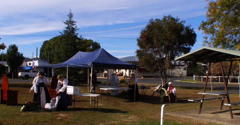
Old Style. These ladies showed great enthusiasm as they set up for their day in the little park which is the rest area at Killarney.
The road to Urbenville is narrow and goes through a stretch of rainforest…
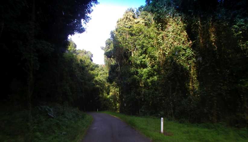
Through rainforest. It’s certainly a nice drive down through this area into Urbenville, a town very few have even heard of.
…while some parts of the road are open and give clear views of old-time volcanic activity:
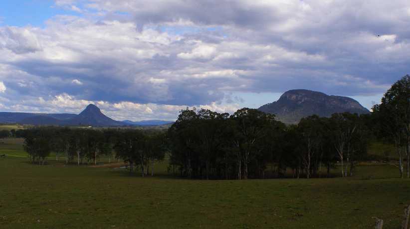
Volcanic vista. This pic I took on the second day on the way back to Urbenville after spending the night in the hotel at Woodenbong.
One bloke I met out there had an interesting hobby:
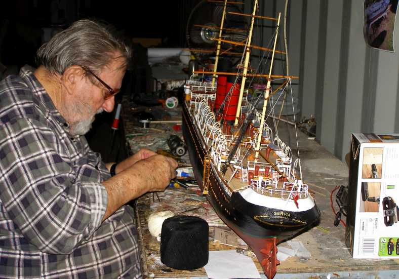
Boat building. Working in a shed behind his house, this boat-builder had a career building full-size boats.
Now his boats are all models and a lot of them are on display at a museum in Ballina.
And I had to race home because we were in the middle of moving house. We’d lost a day because some repainting had to be repainted and some new carpet was put down, but Sandra was delighted with all the cupboard space in the kitchen.
The final thrust came with the tall robes to be moved, for this I hired a trailer on our last day of moving. Reversing a trailer up the drive behind the van was taxing and at one stage I jack-knifed the rig when I got reverse instead of first at just the wrong moment. This broke the electrical fitting on the trailer and I told them when I took it back, asking them to get in touch when they knew how much the repair would be.
Distant jobs would make it another long weekend for me:
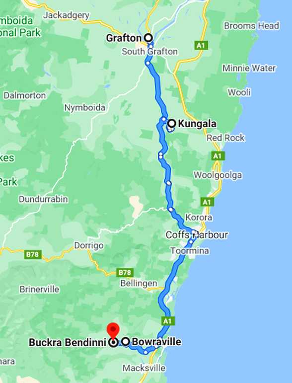
No, I’d never heard of Buckra Bendinni before, but I’d never heard of Kungala before either. But maps and GPS assistance get you to these places. I was at Bowraville early and had a bit of a look around this town, two of my cousins married girls from here and the place is famous for some murders which took place a few decades ago:
Bowraville main street. On a quiet Saturday morning, I wanted to ask directions to Buckra Bendinni but asked four locals before I found one who knew where I had to go.
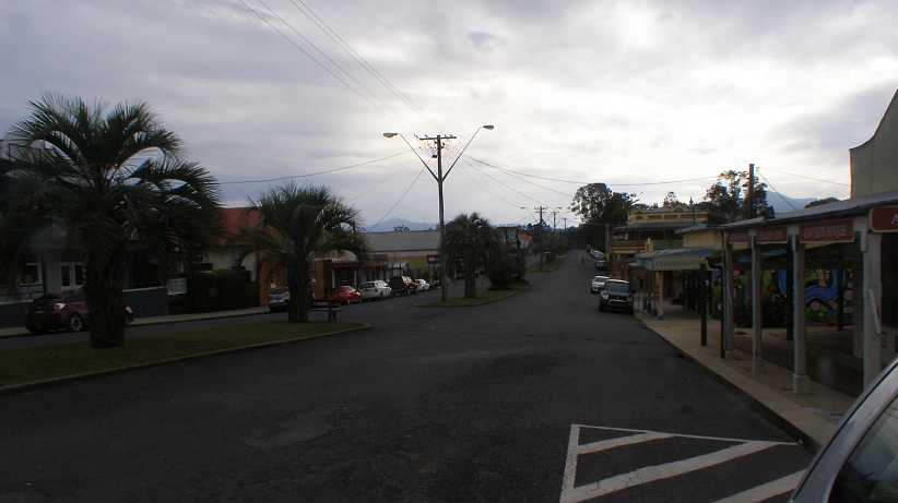
And just a couple of miles up the road:
Buckra Bendinni view. Fertile hillsides in the area made for good views and a pleasant day’s work.
The outstanding people I met here was a couple who’d given up city life and were starting a macadamia farm from scratch. They’ll do well.
And then it was on to Kungala, an area not so fertile or verdant, but both areas produced animal lovers…
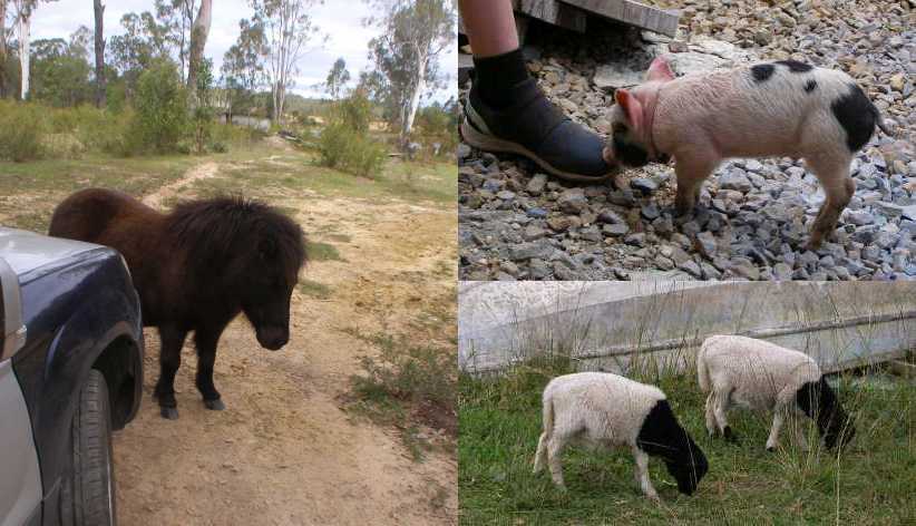
Animals encountered. The piglet and lambs belong to a family which takes in animals while the stubborn pony is blocking my way down a driveway at Kungala.
…and the weekend again took me to Grafton, where I stayed one night. And had a further look at progress on the bridge:
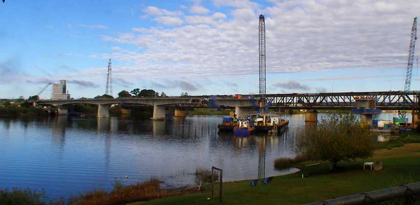
Progress. The new Grafton bridge was now taking shape, I would be away when it opened.
One ‘find’ at Kungala I snapped in the absence of the owner, who I never did find at home:
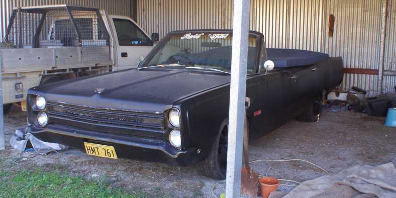
Phoenix convertible. It’s readily seen that this is a sedan with the roof cut off. I wondered (but never found out) if it’s the one I saw painted yellow in distant Barmedman.
Returning home for the final cleaning up of the old house, I also went to see the trailer man. These trailers are owned by a hire company who leave them with service stations to give some convenience to customers, so you merely pick up and hand back keys at the service station, while the hire company have someone do the rounds to carry out repairs.
The man didn’t charge me for the damage. “You’d be amazed how many people just drop the trailer back and don’t say a word about any damage,” he said, “you told them about it so I’m happy to replace this fitting without charging you.”
So with the moving done and time rolling by, I had just a few last-minute things to do before heading out for what I expected to be over two months away. I had already found I had another job to do before I left…
We’d looked at quite a few homes and were tiring of it. Mostly newer than this one and often further from where we wanted to be. This one was older, had been altered over the years, didn’t have much covered car accommodation (or storage) and wasn’t the best-looking place. But it was in a good area and it had some features which appealed to us.
The house. Another old place which had seen a few extensions, it was well-located and gave us room we wanted.
We were also looking ahead to when Sandra’s youngest son could return from Cambodia with his family, who would be able to live with us.
Underneath. This area is under a section of the upstairs and I could see it as somewhere I could have an enclosure to use as a workshop in the absence of a decent shed.
At least Sandra’s Falcon would be able to shelter, and close to the main entry door:
Carport. Unfortunately not big enough for two cars, this carport adjoins the entry to the family room area.
We applied to rent it, but were rejected. I made a plea to the agents to consider some things. First, there was a swimming pool…
The pool. In the ‘season’ when the public pools were open, Sandra had been racing off early in the morning to use the Highfields pool (10kms away) before others got in and sullied the water. With her own pool she could extend the months of use and not have to go anywhere to do it – as well as having it available any time of the day.
… this was almost a necessity for Sandra to exercise her back and she would use it most of the year. Thus it would be looked after and kept clean, unlike its present condition. Second, there was an assertion that we wouldn’t be able to afford it as the young people had been doing.
I set forth good reasons to show that we were actually going to be paying less rent than we had been just six months earlier. Then there were the gardens, I pointed out that Sandra loved her gardening and these would be kept under control.
Finally the agents, after consulting the owner, came back with an offer. We could have a 6-month lease which should be regarded as a trial, if the owners saw that we were meeting the obligations they’d give us a longer lease.
All the while, life went on, regular trips every weekend for work…
Power Wagon at Nobby. Dodge Power Wagons aren’t very common in Australia, this one is nicely restored and used, obviously, for advertising.
… though this wasn’t far from home. I thought this solar gate setup was interesting, but it barred my way:
Solar-powered gate. Out from Nobby I was working in an area with large farms such as this one, though this was the only one with a gate like this.
The same weekend I met someone, in the second area in which I worked, who just loves the car he’s restored:
Morris 1100. The restoration has cost him a lot of money, particularly the paint job. I hope it’s fun to drive.
Again I was busy with everything going on. Little jobs on the Forester, on the van (fitting the new clutch linkages) and on Sandra’s car (change the brake fluid) as well as preparation to move house, running around signing the lease and working out things like how to keep the weather out of my ‘workshop’ area. And every weekend, off to work. The last week of April I went off to Tamworth, the following week to Reserve Creek, in the scrub near Murwillumbah, and South Tweed Heads.
Reserve Creek was a pretty place, farmlets with long driveways, interesting people…
Reserve Creek hilltop. From Street View, there’s two driveways here, one in front of and one behind that shed. My job entails finding every house, some are sneaky.
…and some with interesting solutions to interesting problems:
Narrow bridge. The owner of this place salvaged some disused concrete beams from an old bridge to get across his little creek. He told me he could have used another beam, certainly the driver of a cement mixer making a delivery was wary of it.
The reward for being in places like this is the pleasant scenery:
Reserve Creek view. As the road crossed several ridges it produced views well worth looking at.
South Tweed Heads was all urban, of course, but when I stopped to have a bite to eat I saw an interesting sight:
School speedster. Members of a local school team out practising using their school project human-powered device.
Away he goes! With plenty of advice on how to do it, too. With a streamlined body it would be competing in a 24-hour race in Brisbane a few weeks later.
Sandra, meanwhile, was having a plant sale at home in preparation for our move…
Plant sale. Just a few of the many plants Sandra was trying to sell so there was less of this kind of thing to move.
…while I ‘escaped’ during the latter part of the week for the briefing for the upcoming Drug Survey work. This was held on the Gold Coast and would lead into me working in that area (at Palm Beach) after the briefing. On the way down I had to be very patient awaiting these roadworks traffic lights near Beaudesert – which took ten minutes to change!
Roadworks. No work was happening in the middle of the night, but the lights delayed me much longer than was needed.
The briefing was in a hotel at Surfers Paradise and they accommodated me there for the briefing and the Palm Beach job. Looking out the window from my room…
Chevron bridge. Chevron Island was among the very first ‘canal estate’ areas opened in Australia, it’s reached across this bridge.
…there were views which wouldn’t have been dreamed of in this area fifty years ago. Today it’s all built out and there’s plenty of high-rise too:
Looking South. Turning the other way reveals that there’s not much green space left in the immediate area.
Preparations for my big trip went on, the camp stove I’d bought at Walmart in 2016 used small one-use gas bottles, but these were way too expensive in Australia and I bought this adaptor line so I could use a larger refillable bottle:
Gas adaptor. The new line screws onto the chromed arm which normally fits up to the green 1lb Coleman bottle.
The last weekend before we would be moving house I had to go to Tamworth again, this time for two jobs, so I’d be away for five days. It was time I really didn’t have to spare, but it was necessary from the financial point of view. Then the move commenced, using the van with the seats removed, we were doing it all ourselves for much of the time and we’d allowed two weeks for the job.
I therefore took the van to work the next weekend when I worked at Urbenville, an out of the way town just off the track I so often use down through Woodenbong. Going through Killarney I pulled up for a quick stop and found myself surrounded by ladies setting up for some old-style demonstrations. Apparently this kind of thing happens world-wide under the title of the “Society of Creative Anachronism, Canton of Stegby” and this is merely a local offshoot:
Old Style. These ladies showed great enthusiasm as they set up for their day in the little park which is the rest area at Killarney.
The road to Urbenville is narrow and goes through a stretch of rainforest…
Through rainforest. It’s certainly a nice drive down through this area into Urbenville, a town very few have even heard of.
…while some parts of the road are open and give clear views of old-time volcanic activity:
Volcanic vista. This pic I took on the second day on the way back to Urbenville after spending the night in the hotel at Woodenbong.
One bloke I met out there had an interesting hobby:
Boat building. Working in a shed behind his house, this boat-builder had a career building full-size boats.
Now his boats are all models and a lot of them are on display at a museum in Ballina.
And I had to race home because we were in the middle of moving house. We’d lost a day because some repainting had to be repainted and some new carpet was put down, but Sandra was delighted with all the cupboard space in the kitchen.
The final thrust came with the tall robes to be moved, for this I hired a trailer on our last day of moving. Reversing a trailer up the drive behind the van was taxing and at one stage I jack-knifed the rig when I got reverse instead of first at just the wrong moment. This broke the electrical fitting on the trailer and I told them when I took it back, asking them to get in touch when they knew how much the repair would be.
Distant jobs would make it another long weekend for me:
No, I’d never heard of Buckra Bendinni before, but I’d never heard of Kungala before either. But maps and GPS assistance get you to these places. I was at Bowraville early and had a bit of a look around this town, two of my cousins married girls from here and the place is famous for some murders which took place a few decades ago:
Bowraville main street. On a quiet Saturday morning, I wanted to ask directions to Buckra Bendinni but asked four locals before I found one who knew where I had to go.
And just a couple of miles up the road:
Buckra Bendinni view. Fertile hillsides in the area made for good views and a pleasant day’s work.
The outstanding people I met here was a couple who’d given up city life and were starting a macadamia farm from scratch. They’ll do well.
And then it was on to Kungala, an area not so fertile or verdant, but both areas produced animal lovers…
Animals encountered. The piglet and lambs belong to a family which takes in animals while the stubborn pony is blocking my way down a driveway at Kungala.
…and the weekend again took me to Grafton, where I stayed one night. And had a further look at progress on the bridge:
Progress. The new Grafton bridge was now taking shape, I would be away when it opened.
One ‘find’ at Kungala I snapped in the absence of the owner, who I never did find at home:
Phoenix convertible. It’s readily seen that this is a sedan with the roof cut off. I wondered (but never found out) if it’s the one I saw painted yellow in distant Barmedman.
Returning home for the final cleaning up of the old house, I also went to see the trailer man. These trailers are owned by a hire company who leave them with service stations to give some convenience to customers, so you merely pick up and hand back keys at the service station, while the hire company have someone do the rounds to carry out repairs.
The man didn’t charge me for the damage. “You’d be amazed how many people just drop the trailer back and don’t say a word about any damage,” he said, “you told them about it so I’m happy to replace this fitting without charging you.”
So with the moving done and time rolling by, I had just a few last-minute things to do before heading out for what I expected to be over two months away. I had already found I had another job to do before I left…
Last edited by Ray Bell; Dec 9, 2020 at 11:10 AM.
Thread Starter
|
Captain
Joined: Oct 2005
Posts: 568
Likes: 8
From: The Summit, Queensland, Australia
The week before I noticed that the leaking on the left rear brake of the van was getting worse...
A wheel cylinder has begun cascading fluid out and it was time to do something about it. Leaning heavily on the workshop manual's specifications, I bought 1" cups and outers a few weeks ago, so after doing the final load of stuff out of the old house I lined the van up in the carport and sent Sandra to pick up some rubber grease in case there was a lot of rust in the cylinder. I figured the grease would help, even though previous experience told me that a good hone with fine wet-and-dry paper would make it smooth enough to not leak in the short term with new rubbers.
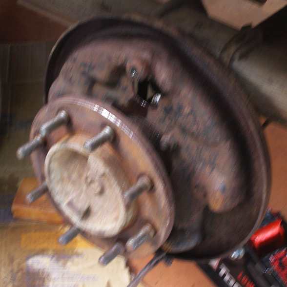
Once I took the drum off I was confronted with a much more complex arrangement than I expected. Worse, once I dismantled it I learned that the 1" cups were ⅛" too big! And the lead cup and piston were well-stuck in the cylinder and the whole lot was incredibly filthy.
So I set about cleaning it all up…
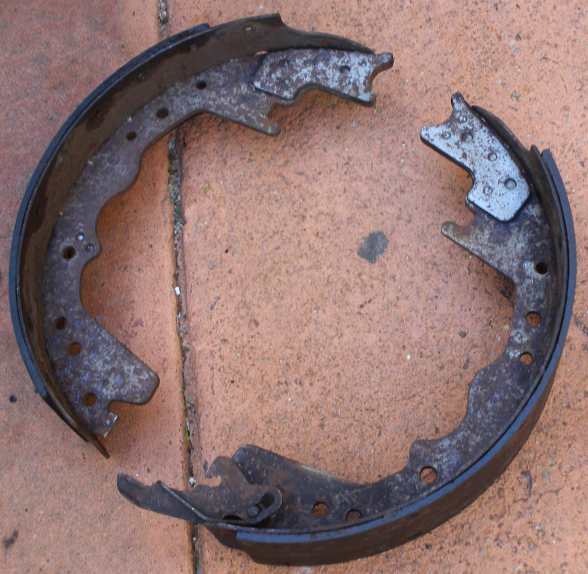
Hot wash. Getting the brake fluid out of the shoes was an essential part of the job, hot water was necessary. The drum got the same treatment.
…using very hot water and plenty of both soap and detergent did the trick, it all came up fairly well and when I determined that replacement cylinders weren't readily available a quick whack from behind the cup drove the stuck piston out.
It took a while to hone it all, to go change the pistons and to clean everything up, then I had to face this:
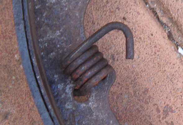
Tough retaining spring. This retainer spring packs a mean punch! It had been enough of a problem getting it off, but I had to work out a method of getting it back together…
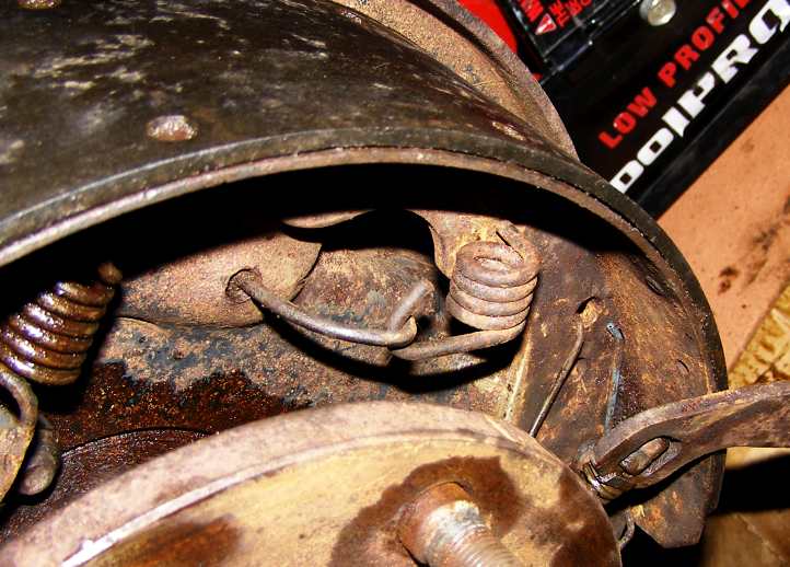
Back in place. ...which I obviously did. Then doing the rest of the job got fairly easy.
With the shoes and the drum all cleaned up, I had to do something about the backing plate:
Backing plate meets toothbrush! The backing plate got a good double dose of the same, and plenty of workout from... a toothbrush.
Bit by bit it fell into place, but one bit wasn’t as complete as it once was:
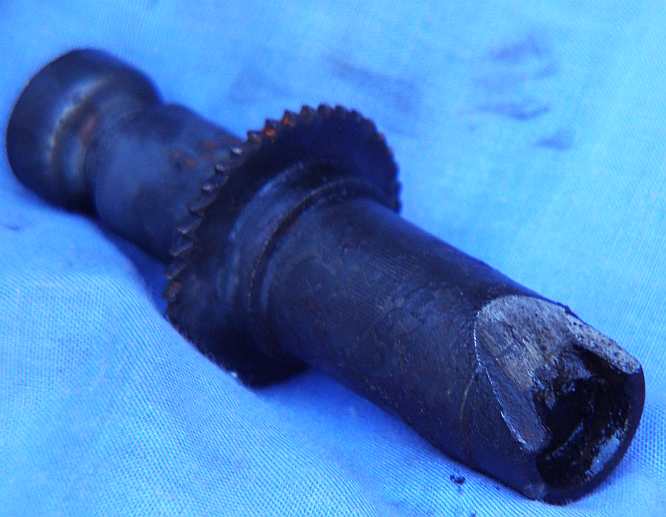
Brake adjuster. I can't work out how this might have happened, but one end of the adjuster was pretty badly ground away.
I set things up so it would sit well and not be required to be moved.
And the brakes were back to good again with a proving trip to unload the several items Sandra had earmarked to my storage shed, 80 miles away. After that I had to track down somewhere to buy new belts for the front of the engine.
A wheel cylinder has begun cascading fluid out and it was time to do something about it. Leaning heavily on the workshop manual's specifications, I bought 1" cups and outers a few weeks ago, so after doing the final load of stuff out of the old house I lined the van up in the carport and sent Sandra to pick up some rubber grease in case there was a lot of rust in the cylinder. I figured the grease would help, even though previous experience told me that a good hone with fine wet-and-dry paper would make it smooth enough to not leak in the short term with new rubbers.
Once I took the drum off I was confronted with a much more complex arrangement than I expected. Worse, once I dismantled it I learned that the 1" cups were ⅛" too big! And the lead cup and piston were well-stuck in the cylinder and the whole lot was incredibly filthy.
So I set about cleaning it all up…
Hot wash. Getting the brake fluid out of the shoes was an essential part of the job, hot water was necessary. The drum got the same treatment.
…using very hot water and plenty of both soap and detergent did the trick, it all came up fairly well and when I determined that replacement cylinders weren't readily available a quick whack from behind the cup drove the stuck piston out.
It took a while to hone it all, to go change the pistons and to clean everything up, then I had to face this:
Tough retaining spring. This retainer spring packs a mean punch! It had been enough of a problem getting it off, but I had to work out a method of getting it back together…
Back in place. ...which I obviously did. Then doing the rest of the job got fairly easy.
With the shoes and the drum all cleaned up, I had to do something about the backing plate:
Backing plate meets toothbrush! The backing plate got a good double dose of the same, and plenty of workout from... a toothbrush.
Bit by bit it fell into place, but one bit wasn’t as complete as it once was:
Brake adjuster. I can't work out how this might have happened, but one end of the adjuster was pretty badly ground away.
I set things up so it would sit well and not be required to be moved.
And the brakes were back to good again with a proving trip to unload the several items Sandra had earmarked to my storage shed, 80 miles away. After that I had to track down somewhere to buy new belts for the front of the engine.
Last edited by Ray Bell; Dec 12, 2020 at 02:42 AM.
Thread Starter
|
Captain
Joined: Oct 2005
Posts: 568
Likes: 8
From: The Summit, Queensland, Australia
For all of my careful preparation, June 9, 2019, did not provide an auspicious beginning for the big trip. The van was loaded to the gills, dozens of boxes of questionnaires piled in along with petrol drums, water drums, clothing, bedding, the refrigerator, tools sufficient to get me out of any kind of trouble, gas bottle and stove, solar panels, fold-up table, fold-up chairs, well, I�m sure you get the idea.
But there was still something I wanted to get before I got underway so I headed to the nearest shops. Once I bought what I wanted I jumped back into the van and � it wouldn�t restart!
It was Cardston all over again, and Helena too, where I finished up changing the spark plugs and got wires crossed. Same scenario, a cold start, drive a little more than a mile, switch off and then ten minutes later try to restart. I called the RACQ and waited over half an hour for them to come.
I was tempted to think that it might have been flooded and I should try it again before they got there, but I resisted. As soon as the mechanic arrived, he turned the key and it started!
I would never again drive such a short distance before switching off. I make sure it�s nice and warmed up every time I think about turning off the key.
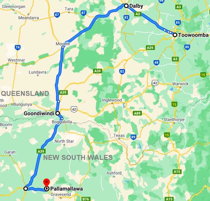
The plan this weekend � the ninth was Saturday � was to do the regular work in Dalby then strike out Sunday night so I�d be within easy reach of Goondiwindi Monday morning to start on the Drug survey. This would be my route:
Remembering that the Drug survey involved leaving questionnaires and picking them up a few days later, the idea was to combine the Goondiwindi, Boggabilla and Pallamallawa areas as they were reasonably close together. Pallamallawa was about 70 miles from Boggabilla.
Because I was now working full time, and I had no idea I�d be doing this thread about it all, there were times I didn�t take many photos. Google Earth Street View comes in handy there to fill the breach, though it�s not everywhere. The Google Earth pics I will identify in the captions by putting �GE� in them and where I derive photos from some other source I�ll note that in the same way.
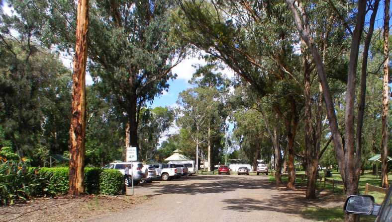
Thomas Jack Park. This park is right on the highway in Dalby and includes the Information Centre, playgrounds, toilets, trees and walkways. And this parking area, in which I camped my first night out.
Dalby is the centre of a large agricultural area on the Darling Downs, just far enough from Toowoomba to have enabled it to grow to a healthy size (population about 12,000) and attract major retailers. It�s in very flat country and local authorities have gone to some trouble to �dress up� the town. Walkways follow the main watercourse, Myall Creek, through the town:
Myall Creek and the RSL. The walkways are evident here going under the highway bridge, while the size of the Returned Soldiers� League club shows it is a major place of entertainment and recreation.
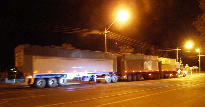
Road transport plays a big part in much of Queensland, it being a huge state and its agricultural industries supplying much produce for export and for sale in other states.
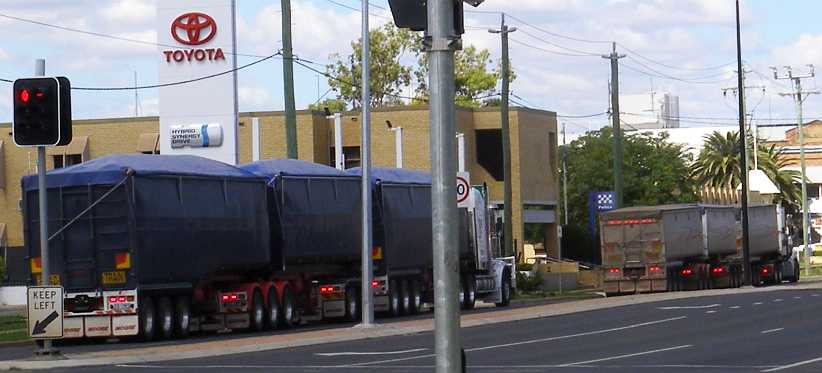
Transport rolls through. Two road trains pull away from the traffic lights, they�re full of something, likely grain, and on their way to Brisbane.
The main retail areas spread around four streets as well as the highway. Old-style stores along with modern malls in streets with angle parking and where attempts to get trees growing are evident.
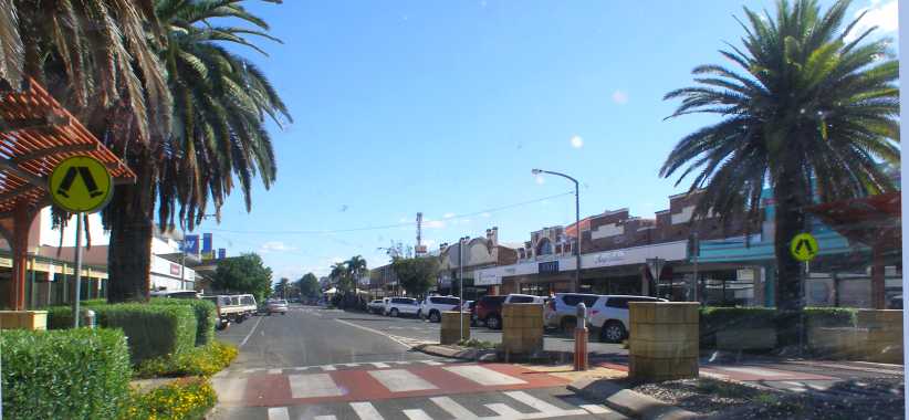
Commerce. Just one of the streets, though the main one, with commercial establishments lining each side.
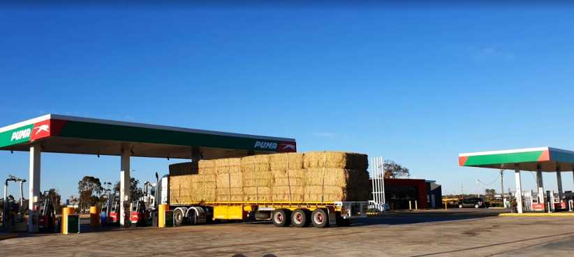
After completing the work on Sunday I headed out to Moonie. This was the first place in modern Australia where commercial quantities of oil were found, but it never amounted to much and was later well and truly eclipsed by the findings of offshore oil supplies. There�s not much there, but a major cross-roads is the location for a popular hotel and service station, with a huge sealed truck parking area off on the opposite side of the road.
That�s where I camped for the night.
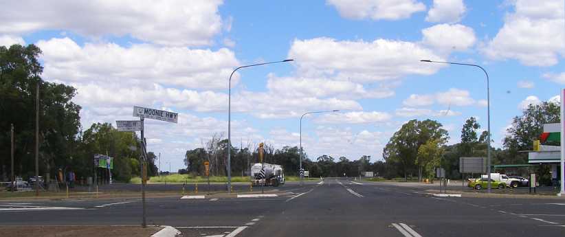
Moonie crossroads. The parking area where I camped is on the opposite side of the road to the Puma service station.
Awakening early, I moved on to Goondiwindi before I set up to make myself some breakfast. A little Rest Area funded by the local Lions Club provided me with a spot where I could do this in peace. I set up the fold-up table and fitted up the gas bottle to the camp stove and boiled the kettle and realised I needed to get something to enable me to toast my bread.
Lions Park breakfast. Breakfast in this Rest Area was really the beginning of me living out of the van on this trip.
The Rest Area was adjacent to a bit of a billabong and there was some entertainment from a pelican who�d chosen to do its breakfast �shopping� there:
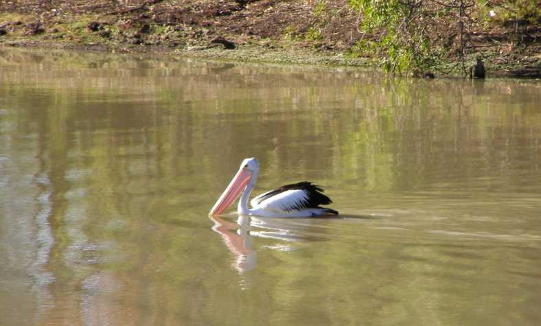
Pelican. The pelican looks serene floating on the quiet waters of the billabong�
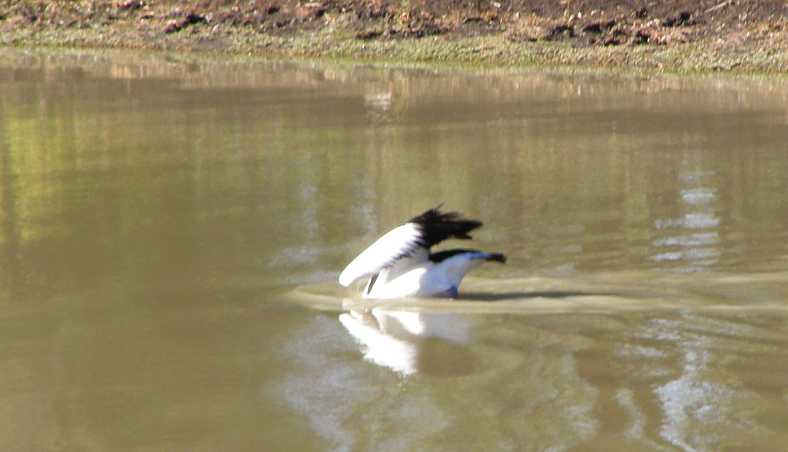
Dive! � but it clearly meant business as it dived to catch something to eat.
Fuel costs are important to me and on my previous ventures out this way I�d found that a service station near this Rest Area had the best prices. But now there was a new player in town, United Petroleum had opened up on the main highway and were retailing at a price quite a bit lower than the opposition. Because I hadn�t photographed the place I was looking for a picture and found this nice one:
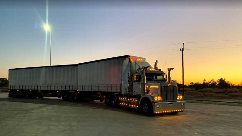
Western Star, Eastern outlook. This picture really conveys the early morning of Goondiwindi, the night lights are still on in the truck parking section of the United truck stop while the background shows a tinge of pink as the sun comes up a bit beyond early sunrise levels. (Ryan Hocking)
I would pay several visits to this place before the trip was over, the price (per litre) of $1.23.7 for E10 fuel was the lowest I�d find anywhere I went and I had to make sure that the 36-gallon tank and all my drums were full before I finally drove away from here.
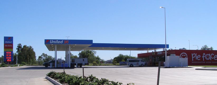
Price was good. A very low price at the time was good, this later picture shows that their �opening special� on price was over.
In between knocking on doors and placing questionnaires, I found time to go to a camping shop and buy a toaster for the stove. I would camp at different locations depending on my needs, one place I stayed a few nights was the larger Rest Area near the main approach to town. This featured a number of picnic tables, where I could readily set up my stove�
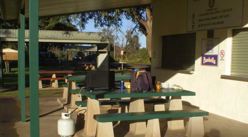
More breakfasts. Not only breakfast, but some dinners as well were cooked here. In holiday times this Rest Area has a �Driver Reviver� and so there�s the attendant advertising for its sponsors.
And some nights I camped in the caravan park at the other end of town. The arrangement I had with the company was that I�d keep costs (which they had to bear) to a minimum in return for them giving me the big-mileage trip. Normally the Central Australian work would be covered by someone they�d fly in, provide with a rental car and put up in a motel.
The first night I went to the camping area�
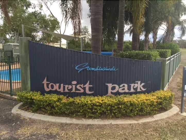
Caravan park. Styled the �Goondiwindi Freedom Lifestyle Park�, this was my home for one night.
�I learned of the �Camp Kitchen�, a facility where cooking and washing up can be done without having to go to some of the lengths to which I�d been going. It certainly made life easier. But after a full week there I had to move on to the Pallamallawa area and I had to cook my dinner without those facilities.
About five miles North of Moree I pulled into the Newell Rest Area and cooked up some steak which was reaching the point of no return. It was okay, but it wouldn�t have been the next day. This was a lonely little parking spot alongside the highway, a few trees providing some shade in daytime to a Rest Area which was as basic as they come:
Newell Rest Area. I needed to cook and this was the last place which I�d have considered �safe� before reaching Moree. It�s all flat country like this for many miles around here.(GE)
After cleaning up I drove into town and parked in the Information Centre�s carpark to sleep for the night. This is right by the river only 100 yards from where the highway bridge crosses. It�s interesting reflecting, I wouldn�t have been happy cooking here, but I would have felt a little unsafe camping out at the highway Rest Area when there were no other campers around.
Moree Information Centre. Surrounded by trees in the middle of Moree, this is a very good place for tourist information.(GE)
Pallamallawa is a little town about ten miles out of Moree just off the Gwydir Highway. I had two areas to work here, one with the instructions �don�t enter the town of Pallamallawa� and the other in the town itself.
The town, which I�d never been to before, was a place with quite old homes and some spaces where I�d guess other homes have been torn down after termites got to them, or simply burned down. There was a smattering of newer homes. Most working residents drive to Moree � or local properties � to work, while there were some retirees and a few non-workers.
Street view. Gaps between homes were common, wide streets and wire netting fences complete the picture.(GE)
Post Office. A postal agency is attached to this house, while both this home and the one next door have the popular evaporative air-coolers mounted on their rooves.(GE)
Finding the homes along the Gwydir Highway (and some side roads) required keeping a keen eye out while driving along, occupied homes having a street number on a post on the roadside. Sometimes there would be a number of homes in a row, but all of them were set well back from the road like this:
Gwydir Highway. A driveway strikes out across the broad area between the highway and the front fence. This is broad because it�s a �Travelling Stock Route� for droving herds to different places.(GE)
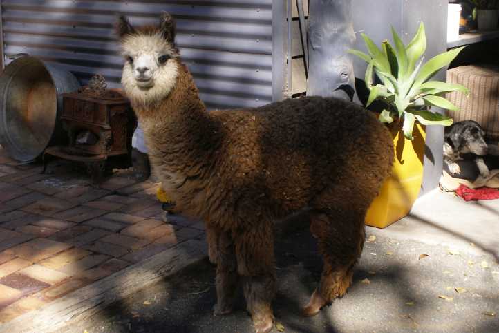
A couple of places I went were memorable. One very friendly bloke had an alpaca which was as friendly as he was�
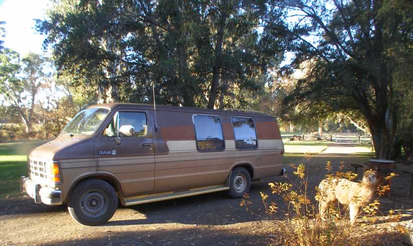
Foreigners. Both the Dodge and the alpaca were a long way from where they originated when they met on the Gwydir.
�and seemed to take a keen interest in my presence. This was on a side road like the one which led to the Tareelaroi Weir:
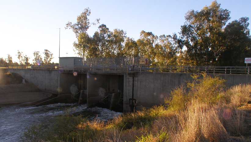
Tareelaroi Weir. This arrangement regulates water from the Gwydir River for irrigation. Of course it has all the usual �danger, don�t come near!� signs.
After my first day in this area I returned to Moree and to the camping area recommended by the nice people at the Information Centre. This was at the local Showground (US equivalent is �Fairground�?) and run by the Town Council. I was able to park right alongside the camp kitchen and, in fact, took my electrical power from a point inside there.
Moree campground. Parked right alongside the camp kitchen, I had it pretty good here. There was also a coin laundry I could use and I would stay here again when I returned to do the pick-ups.
So there was a couple of back-and-forth trips between Goondiwindi and Pallamallawa. Not forgetting that I did an area at Boggabilla while at Goondiwindi. This presented an interesting experience when I called again at this house:
Boggabilla house. I�d been here for the Aboriginal Housing survey the previous year, now I was back and looking for the occupants.(GE)
I knocked, the door opened, a young man and woman carried out a double bed mattress and didn�t say a word to me. The literally ran across the road with the mattress and took it into the house there, I have no idea what was going on.
Meanwhile, up at the truck stop I saw this impressive rig:
Carrot truck. Growing lots of carrots in Northern Victoria, Rocky Lamattina�s farms have their own trucks to carry them to Queensland markets.
The frustrations of dealing with some of the people in Boggabilla were still with me as I drove over the old bridge into Goondiwindi. I�d seen this bridge but not crossed it in 1950, since then the highway has bypassed the town over a new bridge.
Macintyre bridge. Crossing the border back into Queensland took me back to the �stragglers� I had to pick up in Goondiwindi.
As I was completing doing the pickups I was approached by a well-dressed man, he asked me what I was up to. �I�ve had people asking me what this big brown van is doing around town,� he told me. And so I explained.
He then told me he was a councillor on the local Shire Council and that he was trying to get some assistance going for young people who were prone to getting onto drugs. �The information you�re gathering could be quite useful to us,� he said, �I�ll get in touch with the Department of Health (who were responsible for the survey) and find out more.� He went away more than satisfied, especially when I told him about a dog which had jumped the fence to menace me in another corner of town. He was also keen to act about that particular dog.
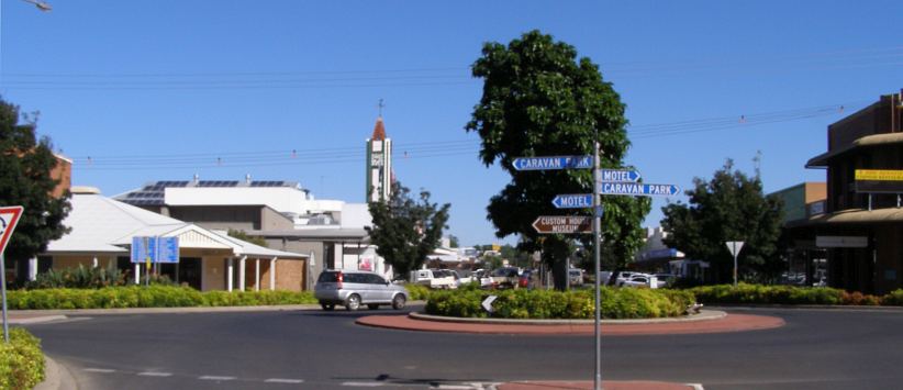
Goondiwindi main street. All the small-town things; a clock tower, a pub, a post office and many shops each side of a median strip with palm trees � and on the other side of the roundabout sign boards pointing to distant destinations.
And so I finished up with a good collection rate in Goondiwindi, not so good in Boggabilla, but it was time to wrap up at Pallamallawa and head further West. At Pallamallawa I met up with my friend:
Alpaca and dog. The people weren�t home but had left the questionnaire out for me to pick up. The animals came out to meet me and, perhaps, bid me farewell.
A night in the showground in the middle of this, then I spent the next night camped in the Puma truck-stop on the South end of Moree before I pointed the van towards Walgett and Brewarrina�
But there was still something I wanted to get before I got underway so I headed to the nearest shops. Once I bought what I wanted I jumped back into the van and � it wouldn�t restart!
It was Cardston all over again, and Helena too, where I finished up changing the spark plugs and got wires crossed. Same scenario, a cold start, drive a little more than a mile, switch off and then ten minutes later try to restart. I called the RACQ and waited over half an hour for them to come.
I was tempted to think that it might have been flooded and I should try it again before they got there, but I resisted. As soon as the mechanic arrived, he turned the key and it started!
I would never again drive such a short distance before switching off. I make sure it�s nice and warmed up every time I think about turning off the key.
The plan this weekend � the ninth was Saturday � was to do the regular work in Dalby then strike out Sunday night so I�d be within easy reach of Goondiwindi Monday morning to start on the Drug survey. This would be my route:
Remembering that the Drug survey involved leaving questionnaires and picking them up a few days later, the idea was to combine the Goondiwindi, Boggabilla and Pallamallawa areas as they were reasonably close together. Pallamallawa was about 70 miles from Boggabilla.
Because I was now working full time, and I had no idea I�d be doing this thread about it all, there were times I didn�t take many photos. Google Earth Street View comes in handy there to fill the breach, though it�s not everywhere. The Google Earth pics I will identify in the captions by putting �GE� in them and where I derive photos from some other source I�ll note that in the same way.
Thomas Jack Park. This park is right on the highway in Dalby and includes the Information Centre, playgrounds, toilets, trees and walkways. And this parking area, in which I camped my first night out.
Dalby is the centre of a large agricultural area on the Darling Downs, just far enough from Toowoomba to have enabled it to grow to a healthy size (population about 12,000) and attract major retailers. It�s in very flat country and local authorities have gone to some trouble to �dress up� the town. Walkways follow the main watercourse, Myall Creek, through the town:
Myall Creek and the RSL. The walkways are evident here going under the highway bridge, while the size of the Returned Soldiers� League club shows it is a major place of entertainment and recreation.
Road transport plays a big part in much of Queensland, it being a huge state and its agricultural industries supplying much produce for export and for sale in other states.
Transport rolls through. Two road trains pull away from the traffic lights, they�re full of something, likely grain, and on their way to Brisbane.
The main retail areas spread around four streets as well as the highway. Old-style stores along with modern malls in streets with angle parking and where attempts to get trees growing are evident.
Commerce. Just one of the streets, though the main one, with commercial establishments lining each side.
After completing the work on Sunday I headed out to Moonie. This was the first place in modern Australia where commercial quantities of oil were found, but it never amounted to much and was later well and truly eclipsed by the findings of offshore oil supplies. There�s not much there, but a major cross-roads is the location for a popular hotel and service station, with a huge sealed truck parking area off on the opposite side of the road.
That�s where I camped for the night.
Moonie crossroads. The parking area where I camped is on the opposite side of the road to the Puma service station.
Awakening early, I moved on to Goondiwindi before I set up to make myself some breakfast. A little Rest Area funded by the local Lions Club provided me with a spot where I could do this in peace. I set up the fold-up table and fitted up the gas bottle to the camp stove and boiled the kettle and realised I needed to get something to enable me to toast my bread.
Lions Park breakfast. Breakfast in this Rest Area was really the beginning of me living out of the van on this trip.
The Rest Area was adjacent to a bit of a billabong and there was some entertainment from a pelican who�d chosen to do its breakfast �shopping� there:
Pelican. The pelican looks serene floating on the quiet waters of the billabong�
Dive! � but it clearly meant business as it dived to catch something to eat.
Fuel costs are important to me and on my previous ventures out this way I�d found that a service station near this Rest Area had the best prices. But now there was a new player in town, United Petroleum had opened up on the main highway and were retailing at a price quite a bit lower than the opposition. Because I hadn�t photographed the place I was looking for a picture and found this nice one:
Western Star, Eastern outlook. This picture really conveys the early morning of Goondiwindi, the night lights are still on in the truck parking section of the United truck stop while the background shows a tinge of pink as the sun comes up a bit beyond early sunrise levels. (Ryan Hocking)
I would pay several visits to this place before the trip was over, the price (per litre) of $1.23.7 for E10 fuel was the lowest I�d find anywhere I went and I had to make sure that the 36-gallon tank and all my drums were full before I finally drove away from here.
Price was good. A very low price at the time was good, this later picture shows that their �opening special� on price was over.
In between knocking on doors and placing questionnaires, I found time to go to a camping shop and buy a toaster for the stove. I would camp at different locations depending on my needs, one place I stayed a few nights was the larger Rest Area near the main approach to town. This featured a number of picnic tables, where I could readily set up my stove�
More breakfasts. Not only breakfast, but some dinners as well were cooked here. In holiday times this Rest Area has a �Driver Reviver� and so there�s the attendant advertising for its sponsors.
And some nights I camped in the caravan park at the other end of town. The arrangement I had with the company was that I�d keep costs (which they had to bear) to a minimum in return for them giving me the big-mileage trip. Normally the Central Australian work would be covered by someone they�d fly in, provide with a rental car and put up in a motel.
The first night I went to the camping area�
Caravan park. Styled the �Goondiwindi Freedom Lifestyle Park�, this was my home for one night.
�I learned of the �Camp Kitchen�, a facility where cooking and washing up can be done without having to go to some of the lengths to which I�d been going. It certainly made life easier. But after a full week there I had to move on to the Pallamallawa area and I had to cook my dinner without those facilities.
About five miles North of Moree I pulled into the Newell Rest Area and cooked up some steak which was reaching the point of no return. It was okay, but it wouldn�t have been the next day. This was a lonely little parking spot alongside the highway, a few trees providing some shade in daytime to a Rest Area which was as basic as they come:
Newell Rest Area. I needed to cook and this was the last place which I�d have considered �safe� before reaching Moree. It�s all flat country like this for many miles around here.(GE)
After cleaning up I drove into town and parked in the Information Centre�s carpark to sleep for the night. This is right by the river only 100 yards from where the highway bridge crosses. It�s interesting reflecting, I wouldn�t have been happy cooking here, but I would have felt a little unsafe camping out at the highway Rest Area when there were no other campers around.
Moree Information Centre. Surrounded by trees in the middle of Moree, this is a very good place for tourist information.(GE)
Pallamallawa is a little town about ten miles out of Moree just off the Gwydir Highway. I had two areas to work here, one with the instructions �don�t enter the town of Pallamallawa� and the other in the town itself.
The town, which I�d never been to before, was a place with quite old homes and some spaces where I�d guess other homes have been torn down after termites got to them, or simply burned down. There was a smattering of newer homes. Most working residents drive to Moree � or local properties � to work, while there were some retirees and a few non-workers.
Street view. Gaps between homes were common, wide streets and wire netting fences complete the picture.(GE)
Post Office. A postal agency is attached to this house, while both this home and the one next door have the popular evaporative air-coolers mounted on their rooves.(GE)
Finding the homes along the Gwydir Highway (and some side roads) required keeping a keen eye out while driving along, occupied homes having a street number on a post on the roadside. Sometimes there would be a number of homes in a row, but all of them were set well back from the road like this:
Gwydir Highway. A driveway strikes out across the broad area between the highway and the front fence. This is broad because it�s a �Travelling Stock Route� for droving herds to different places.(GE)
A couple of places I went were memorable. One very friendly bloke had an alpaca which was as friendly as he was�
Foreigners. Both the Dodge and the alpaca were a long way from where they originated when they met on the Gwydir.
�and seemed to take a keen interest in my presence. This was on a side road like the one which led to the Tareelaroi Weir:
Tareelaroi Weir. This arrangement regulates water from the Gwydir River for irrigation. Of course it has all the usual �danger, don�t come near!� signs.
After my first day in this area I returned to Moree and to the camping area recommended by the nice people at the Information Centre. This was at the local Showground (US equivalent is �Fairground�?) and run by the Town Council. I was able to park right alongside the camp kitchen and, in fact, took my electrical power from a point inside there.
Moree campground. Parked right alongside the camp kitchen, I had it pretty good here. There was also a coin laundry I could use and I would stay here again when I returned to do the pick-ups.
So there was a couple of back-and-forth trips between Goondiwindi and Pallamallawa. Not forgetting that I did an area at Boggabilla while at Goondiwindi. This presented an interesting experience when I called again at this house:
Boggabilla house. I�d been here for the Aboriginal Housing survey the previous year, now I was back and looking for the occupants.(GE)
I knocked, the door opened, a young man and woman carried out a double bed mattress and didn�t say a word to me. The literally ran across the road with the mattress and took it into the house there, I have no idea what was going on.
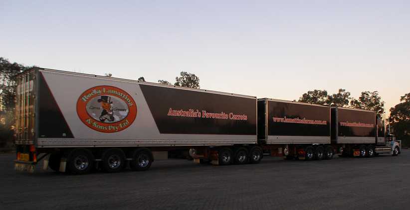
Meanwhile, up at the truck stop I saw this impressive rig:
Carrot truck. Growing lots of carrots in Northern Victoria, Rocky Lamattina�s farms have their own trucks to carry them to Queensland markets.
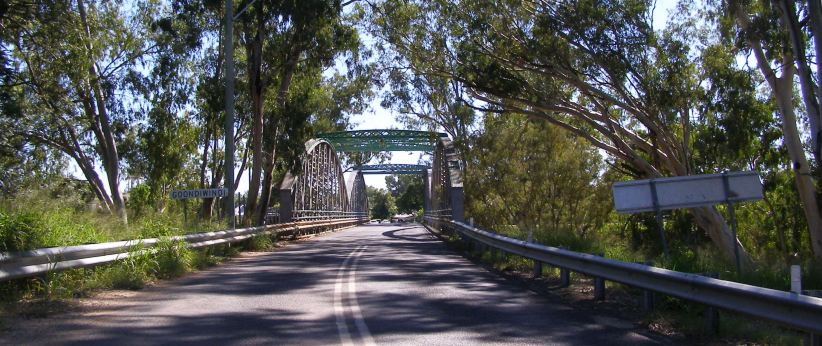
The frustrations of dealing with some of the people in Boggabilla were still with me as I drove over the old bridge into Goondiwindi. I�d seen this bridge but not crossed it in 1950, since then the highway has bypassed the town over a new bridge.
Macintyre bridge. Crossing the border back into Queensland took me back to the �stragglers� I had to pick up in Goondiwindi.
As I was completing doing the pickups I was approached by a well-dressed man, he asked me what I was up to. �I�ve had people asking me what this big brown van is doing around town,� he told me. And so I explained.
He then told me he was a councillor on the local Shire Council and that he was trying to get some assistance going for young people who were prone to getting onto drugs. �The information you�re gathering could be quite useful to us,� he said, �I�ll get in touch with the Department of Health (who were responsible for the survey) and find out more.� He went away more than satisfied, especially when I told him about a dog which had jumped the fence to menace me in another corner of town. He was also keen to act about that particular dog.
Goondiwindi main street. All the small-town things; a clock tower, a pub, a post office and many shops each side of a median strip with palm trees � and on the other side of the roundabout sign boards pointing to distant destinations.
And so I finished up with a good collection rate in Goondiwindi, not so good in Boggabilla, but it was time to wrap up at Pallamallawa and head further West. At Pallamallawa I met up with my friend:
Alpaca and dog. The people weren�t home but had left the questionnaire out for me to pick up. The animals came out to meet me and, perhaps, bid me farewell.
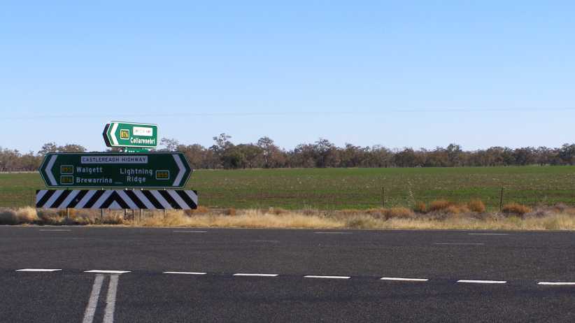
A night in the showground in the middle of this, then I spent the next night camped in the Puma truck-stop on the South end of Moree before I pointed the van towards Walgett and Brewarrina�
Last edited by Ray Bell; Apr 10, 2021 at 07:01 PM.
Thread Starter
|
Captain
Joined: Oct 2005
Posts: 568
Likes: 8
From: The Summit, Queensland, Australia
I was under pressure to get moving. The delay in me getting started on this job due to having to move was putting some of the most distant work in danger of not being completed in time and some ‘hurry up’ calls as I worked on the three areas in Goondiwindi, one in Boggabilla and the two Pallamallawa areas got me thinking more seriously.
I’d stayed another night at the Moree showground camp, but after the following day I adjourned to the new Puma truckstop…
Puma truckstop. This place was brand new, located right at the Southern end of Moree’s sprawl, and gave me some solace after a day’s work.(Joe McKay)
…where there was room for me to spread out the paperwork and package the questionnaires for posting the next morning. I slept in the van out the back of the shop that night.
Interesting display. As a Peugeotphile I was interested to see this book on sale with a Peugeot 203 pickup on the cover. But I didn’t buy it.
I got on the road early and dropped by at McDonalds on the way to the Moree Post Office, this gave me a chance to read the newspapers and catch up a bit on what was happening in the world. Parking was an issue at the post office, strangely enough, but I got my six parcels safely away and hoped that would give the office confidence.
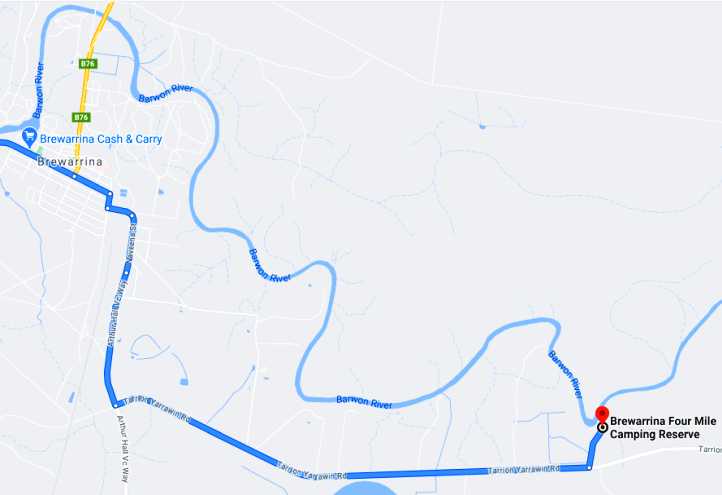
The next stop was Brewarrina…
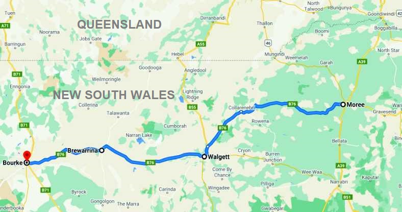
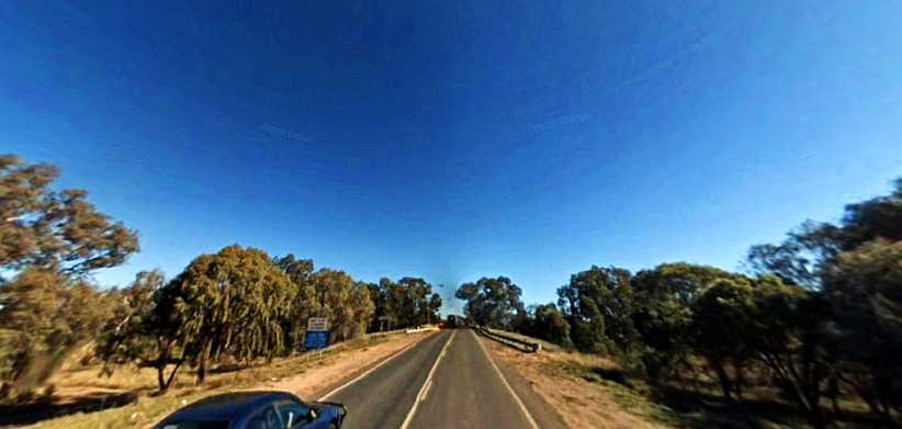
…which was to get me closer to nature. It was a fair drive – about three and a half hours – and took me past signs which announced I was in ‘Outback New South Wales’ as well as past the end of the Gwydir Highway:
End of the road. The Gwydir Highway, named for the Gwydir River which it parallels West of the Great Dividing Range, begins in Grafton and ends out on the flat plains just North of Walgett.
My first visit to Walgett had been over fifteen years earlier in my Peugeot 504 Familiale, at which time this bridge…
Bridge to Walgett. A new bridge over the Barwon River, the signs on the left used to warn of the high level of video surveillance in the town.(GE)
…was an old and rough structure. I had driven the previous night from Brewarrina with a shattered windscreen (of toughened glass) and thought I’d keep going without doing anything about it. But it started to drop a few of its crumbling pieces over the roughness of the bridge and I turned back and lined it with (I kid you not!) schoolbook clear plastic stick-on covers, breaking out a small section ahead of me so my vision was unimpeded.
I’d slept the night in the Peugeot parked in front of the Police Station (having asked permission) because of my vulnerability. Walgett was – and to a degree still is – a troubled town.
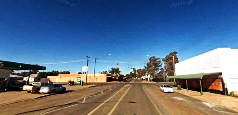
Main street, Walgett. Sometimes it’s hard to tell if buildings are boarded up because of the local problems or because they’ve simply gone out of business. But there’s still plenty of action in the main street. Note, once again, the tower in the distance atop the Post Office, the centre of communications for the area.(GE)
The drive on to Brewarrina was still over a third of the day’s distance. Once again, just before town, the road I was on came to a junction where lesser tracks came in, there was a small rest area on that junction and I stopped for a bite to eat and some coffee. But it wasn’t long before I was again crossing the Barwon River…
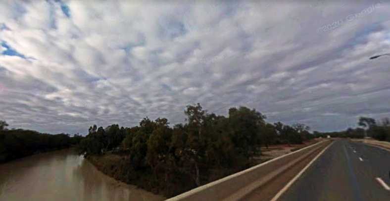
Barwon at Brewarrina. Here the Barwon is backed up by a weir at the famous fish traps. I was keen to get to my starting address and get working.(GE)
…but just after the bridge a number of emus came out of the scrub on my left.
I swerved a little and most of them turned back down the embankment, but one got too close and I suspect got its leg caught up in my wheel arch. I pulled up to check on it and saw that its right leg was virtually torn off at the knee, it thrashed around but couldn’t go anywhere.
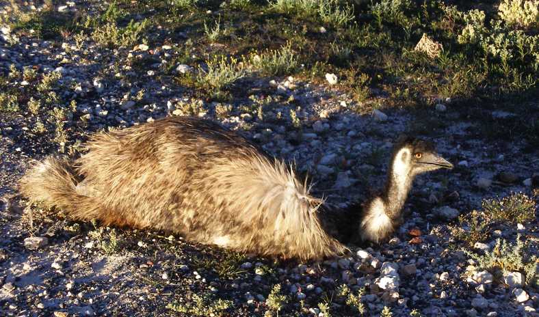
Emu. This poor bird, I suspect, didn’t make it through the night after breaking its leg.
A young lady pulled up and showed concern, I asked if she knew if there was a local WIRES (volunteer wildlife rescue service) in town and she told me she’d take care of it. I drove on and got to work, but I’m continually saddened that this happened.
Later in the day I had to do something towards rebuilding my on-board stocks of food. Two ‘supermarkets’ operate in the town, I checked them both:
Cash & Carry. In the main street was this store, which was where I bought my groceries.(Jen Shearer)
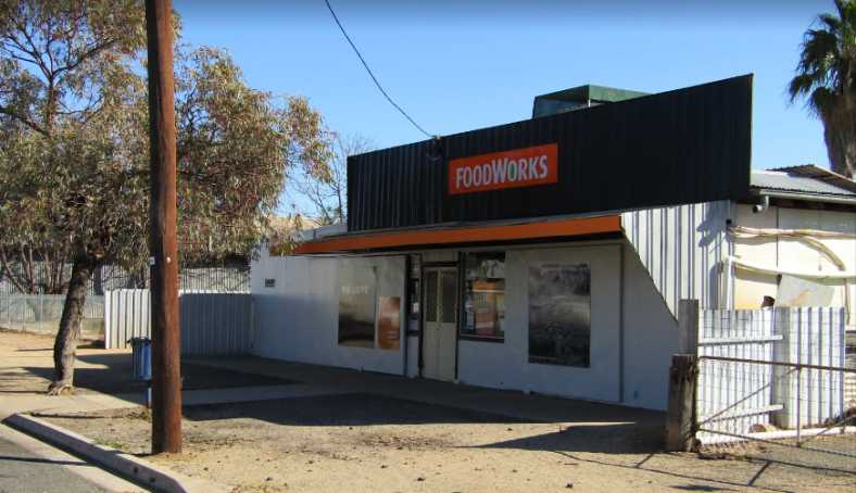
Foodworks. In the area where I was working was the Foodworks store and I found they didn’t have all I wanted. But then, I’m very particular.(Jen Shearer)
With food in hand I had a desire to cook it. But I wasn’t happy to do so too close to the potential problems in town. I needed somewhere safe to camp and I went to the police station…
Police Station. The police station is easily found in the main street, but finding someone there is another issue.(GE)
…where there was the usual small-town notice on the wall: “Eagle phone. If station is unattended, press button and speak when someone answers.” Or something like that. I pressed the button and was soon told they would be with me within a minute or so, and sure enough they were.
Speaking to the officer in the passenger seat, I asked about somewhere safe to camp. He told me to go to the ‘4-mile’ and started to give me directions. The driver of the car, however, simply said, “Follow us!”
And so I was escorted to the campgrounds on the river four miles out of town:
The spot was pretty good and not at all crowded, in fact it covered a huge area. I soon set up camp (it was by now dark) and cooked my dinner, the Walmart camp stove now repaired having given me trouble in Goondiwindi. The regulator out on the stick, to which you normally screw on the gas bottles but which was now connected to my adaptor hose, had been leaking gas as I cooked.
This called for Araldite and some copper wire to reinforce it and eventually stopped leaking, but regulating the burners was now dependent on turning the tap on the bottle itself up and down. Anyway, after cleaning up my dishes I checked the forums and e.mails and went to sleep.
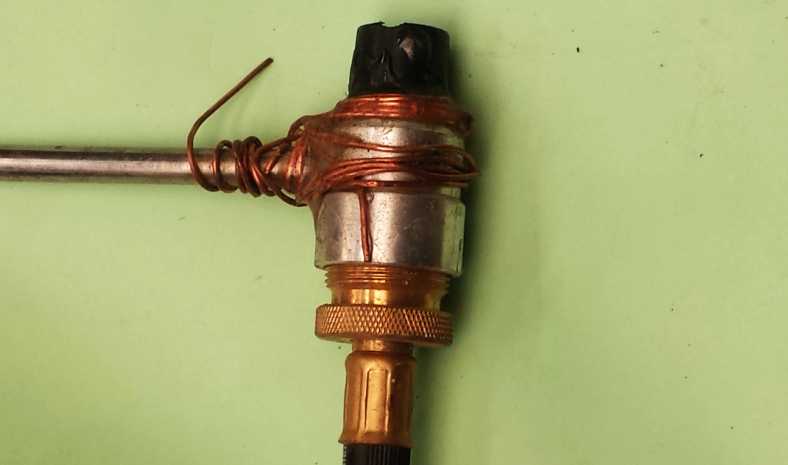
Araldite repair. The repair I’d effected to the stove fitting, it took a couple of goes to make it work, then the regulator didn’t work and regulation had to take place at the gas bottle.
In the morning I had a better view of my surroundings:
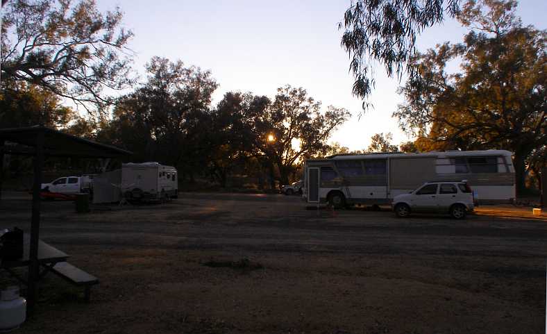
Other campers. With a converted bus and a couple of caravans in view, the morning showed a quiet riverside camping area. My camp stove is on the covered picnic table and my van just off to the left of frame.
I found online a photo of another camper who used the same spot as I did. Behind their Nissan Urvan campervan you can see the toilets beside the entry road.
My camp spot. The Urvan parked the other side of the table because its side door is on the other side. They had a dog with them, too, when they camped there two years before me and it looks like neither of us used the barbecues.(Lois Capurso)
Another camper there was a man with a heavy truck and trailer. On the trailer was an excavator, not a big one, nor was it small. He and his wife lived in the truck and moved around the country working his excavator to keep himself employed.
The river was the main feature here, of course. Signs mentioned an annual fishing competition and it’s probably a big attraction. The camping area stretches for possibly half a mile along the river upstream from here with tracks meandering between the trees and through the dips and hollows. I would think it’s probably yet another ‘Travelling Stock Reserve’ set aside in the days when sheep and cattle were moved large distances by drovers.
The morning sun lit the treetops…
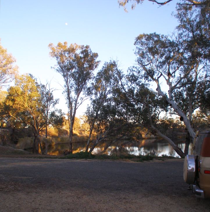
River bend. Still waters, held back by the weir close to town, reflect the sun’s early rays and the trees they light up.
…and woke the campers to another mid-winter day. There was a jetty…
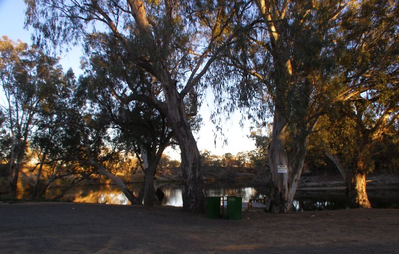
Jetty. Tourism photos show kayaks on the river, no doubt the odd small boat is used here too, so a jetty is important. A warning sign about diving and other perils is also there on the tree.
…and beside it were some wheelie-bins. But not the usual plastic ones, the local Council has no doubt become fed up with having to replace those after fires lit inside them have melted them away. These were steel.
Back in town I found a caravan in front of a house which was set up as a take-away, with a talkative lady cooking breakfasts for people who drove up. When she saw my van she said, “One of the policemen heard about your van, he wants to have a look at it!” I soon told her he’d be most welcome and bought myself a bacon and egg roll.
I settled into completing my distribution work for the day and headed down the highway to Bourke. This was flat and featureless country, as much of it since Moree had been, and when I got to Bourke I went to the ‘Back of Bourke’ travel information centre.
‘Back of Bourke’ is a common expression in Australia. If something is ‘out the back of Bourke’ it means it’s a long way away, though not necessarily beyond Bourke and not necessarily in that direction.
The information I gained there led me to the Kidman’s Camp caravan park at North Bourke. I booked in to a powered site for two nights and found, to my delight, that it also had a nice camp kitchen:
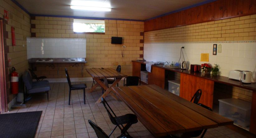
Inside the camp kitchen. There was two of everything laid out for campers. Electric jugs, toasters, cook-tops, sinks with hot and cold running water. And tables to eat at and meet new people. Just one television, however.
I was to have a number of interesting conversations in here, but I didn’t use the barbecues outside:
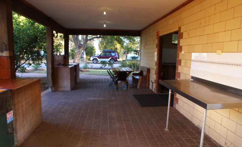
Outside the camp kitchen. Two barbecues and more table space and food preparation area gave travellers plenty of opportunity to cook a nice meal.
This camp was getting on towards full. Winter is the usual travel time in this part of the world, Summer gets a bit hot for it.
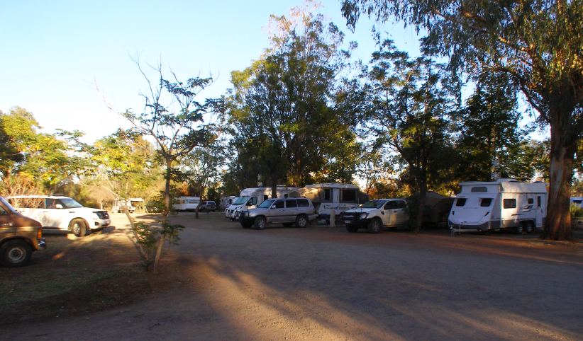
North Bourke campers. In this small corner of the camp we see, from right to left, a pop-top, a camper-trailer, a wind-up camper, a motorhome, a couple of caravans and even a tent.
North Bourke is a small community about four miles from Bourke, with a long bridge over the Barwon River at its Southern side. There used to be, as mentioned previously, paddle-steamer traffic up the river to transport wool and other goods away to the coast, so the original bridge had – like the old bridge at Brewarrina – a lift-span to let the boats through:
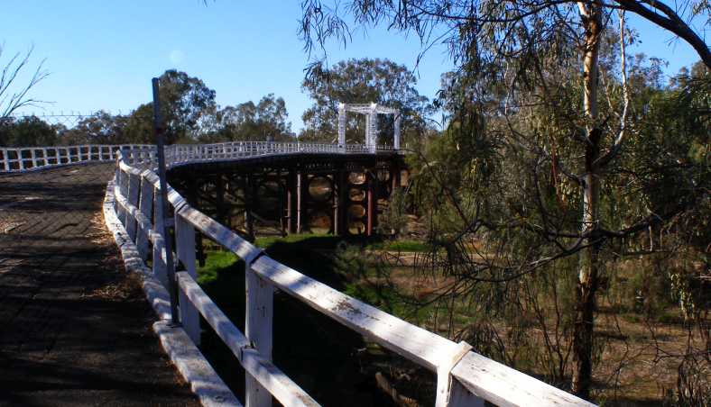
Old bridge. With a long timber approach on the South side, the bridge dates back to the days of the paddle steamers. Much cast iron is used in the main supports over the river.
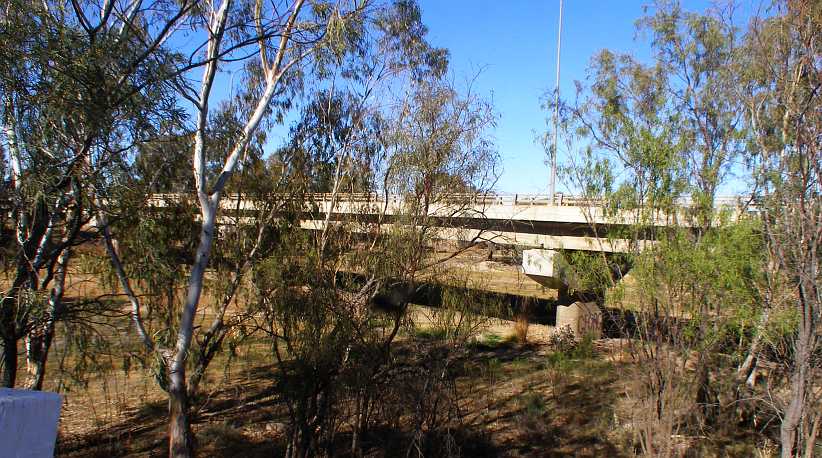
The replacement. Concrete supports, concrete beams and a concrete deck, the modern bridge is nothing like the old one.
I would be here for about a week, the plan was to put out the questionnaires in the three designated areas around Bourke, make a flying trip back to Brewarrina and pick up all I’d left there, then back to Bourke and spend the two days or so I’d need picking up those.
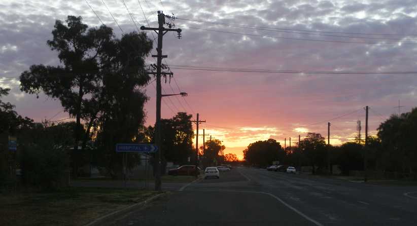
Bourke sunset. While driving around town I couldn’t miss this sunset out across the plains.
A takeaway shop provided me with somewhere different to get dinner one night, coming out of there I snapped this shot of a Road Train. But it’s not a true Road Train, as the lead trailers are made up as a B-double, there’s just one Road Train trailer tagging along.
Road train. Trucking through country like this is a vital industry, with some large loads carried some very great distances. Just one driver for a rig like this brings economic efficiency.
I also went grocery shopping at the biggest local supermarket, the Kahn’s Super IGA at the Western end of town:
IGA carpark. Note the high fence around the carpark, indicative of the local problems faced in Bourke. The building to the right is the 'Gidgee Guest House.'
A problem I had was how long my little refrigerator in the van would keep food cold enough. I had to be careful about the quantities I bought. Later in the trip I took to freezing 2-litre milk bottles full of water and putting those in there too to help it along, something which was only possible when I stayed somewhere there was a good refrigerator in the camp kitchen with space in the freezer.
As far as the Kidman’s Camp refrigerator was concerned, however, I wouldn’t be seeing it after the second night there. That’s because I met Glen and Tanya:
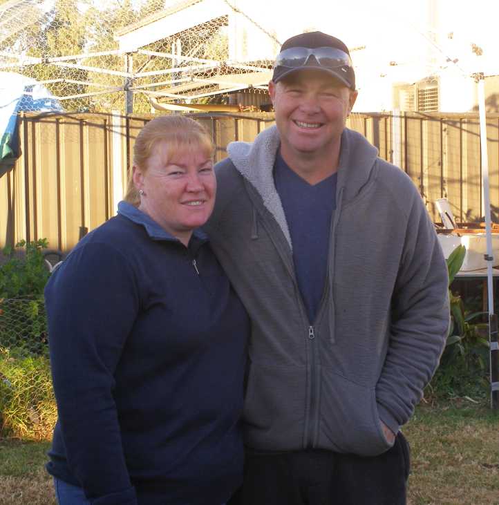
Glen and Tanya. This couple were to extend to me some seriously good hospitality and became good friends.
When I met them and told them I was camping in my van, they almost insisted that I go and park it under their spare carport. I could use their outside bathroom and come and go as I pleased, a deal too good to pass up.
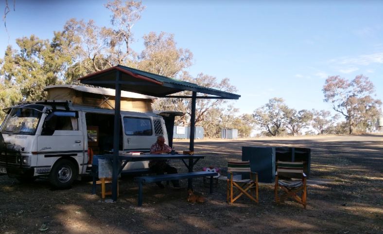
I would spend about four nights under their carport…
I’d stayed another night at the Moree showground camp, but after the following day I adjourned to the new Puma truckstop…
Puma truckstop. This place was brand new, located right at the Southern end of Moree’s sprawl, and gave me some solace after a day’s work.(Joe McKay)
…where there was room for me to spread out the paperwork and package the questionnaires for posting the next morning. I slept in the van out the back of the shop that night.
Interesting display. As a Peugeotphile I was interested to see this book on sale with a Peugeot 203 pickup on the cover. But I didn’t buy it.
I got on the road early and dropped by at McDonalds on the way to the Moree Post Office, this gave me a chance to read the newspapers and catch up a bit on what was happening in the world. Parking was an issue at the post office, strangely enough, but I got my six parcels safely away and hoped that would give the office confidence.
The next stop was Brewarrina…
…which was to get me closer to nature. It was a fair drive – about three and a half hours – and took me past signs which announced I was in ‘Outback New South Wales’ as well as past the end of the Gwydir Highway:
End of the road. The Gwydir Highway, named for the Gwydir River which it parallels West of the Great Dividing Range, begins in Grafton and ends out on the flat plains just North of Walgett.
My first visit to Walgett had been over fifteen years earlier in my Peugeot 504 Familiale, at which time this bridge…
Bridge to Walgett. A new bridge over the Barwon River, the signs on the left used to warn of the high level of video surveillance in the town.(GE)
…was an old and rough structure. I had driven the previous night from Brewarrina with a shattered windscreen (of toughened glass) and thought I’d keep going without doing anything about it. But it started to drop a few of its crumbling pieces over the roughness of the bridge and I turned back and lined it with (I kid you not!) schoolbook clear plastic stick-on covers, breaking out a small section ahead of me so my vision was unimpeded.
I’d slept the night in the Peugeot parked in front of the Police Station (having asked permission) because of my vulnerability. Walgett was – and to a degree still is – a troubled town.
Main street, Walgett. Sometimes it’s hard to tell if buildings are boarded up because of the local problems or because they’ve simply gone out of business. But there’s still plenty of action in the main street. Note, once again, the tower in the distance atop the Post Office, the centre of communications for the area.(GE)
The drive on to Brewarrina was still over a third of the day’s distance. Once again, just before town, the road I was on came to a junction where lesser tracks came in, there was a small rest area on that junction and I stopped for a bite to eat and some coffee. But it wasn’t long before I was again crossing the Barwon River…
Barwon at Brewarrina. Here the Barwon is backed up by a weir at the famous fish traps. I was keen to get to my starting address and get working.(GE)
…but just after the bridge a number of emus came out of the scrub on my left.
I swerved a little and most of them turned back down the embankment, but one got too close and I suspect got its leg caught up in my wheel arch. I pulled up to check on it and saw that its right leg was virtually torn off at the knee, it thrashed around but couldn’t go anywhere.
Emu. This poor bird, I suspect, didn’t make it through the night after breaking its leg.
A young lady pulled up and showed concern, I asked if she knew if there was a local WIRES (volunteer wildlife rescue service) in town and she told me she’d take care of it. I drove on and got to work, but I’m continually saddened that this happened.
Later in the day I had to do something towards rebuilding my on-board stocks of food. Two ‘supermarkets’ operate in the town, I checked them both:
Cash & Carry. In the main street was this store, which was where I bought my groceries.(Jen Shearer)
Foodworks. In the area where I was working was the Foodworks store and I found they didn’t have all I wanted. But then, I’m very particular.(Jen Shearer)
With food in hand I had a desire to cook it. But I wasn’t happy to do so too close to the potential problems in town. I needed somewhere safe to camp and I went to the police station…
Police Station. The police station is easily found in the main street, but finding someone there is another issue.(GE)
…where there was the usual small-town notice on the wall: “Eagle phone. If station is unattended, press button and speak when someone answers.” Or something like that. I pressed the button and was soon told they would be with me within a minute or so, and sure enough they were.
Speaking to the officer in the passenger seat, I asked about somewhere safe to camp. He told me to go to the ‘4-mile’ and started to give me directions. The driver of the car, however, simply said, “Follow us!”
And so I was escorted to the campgrounds on the river four miles out of town:
The spot was pretty good and not at all crowded, in fact it covered a huge area. I soon set up camp (it was by now dark) and cooked my dinner, the Walmart camp stove now repaired having given me trouble in Goondiwindi. The regulator out on the stick, to which you normally screw on the gas bottles but which was now connected to my adaptor hose, had been leaking gas as I cooked.
This called for Araldite and some copper wire to reinforce it and eventually stopped leaking, but regulating the burners was now dependent on turning the tap on the bottle itself up and down. Anyway, after cleaning up my dishes I checked the forums and e.mails and went to sleep.
Araldite repair. The repair I’d effected to the stove fitting, it took a couple of goes to make it work, then the regulator didn’t work and regulation had to take place at the gas bottle.
In the morning I had a better view of my surroundings:
Other campers. With a converted bus and a couple of caravans in view, the morning showed a quiet riverside camping area. My camp stove is on the covered picnic table and my van just off to the left of frame.
I found online a photo of another camper who used the same spot as I did. Behind their Nissan Urvan campervan you can see the toilets beside the entry road.
My camp spot. The Urvan parked the other side of the table because its side door is on the other side. They had a dog with them, too, when they camped there two years before me and it looks like neither of us used the barbecues.(Lois Capurso)
Another camper there was a man with a heavy truck and trailer. On the trailer was an excavator, not a big one, nor was it small. He and his wife lived in the truck and moved around the country working his excavator to keep himself employed.
The river was the main feature here, of course. Signs mentioned an annual fishing competition and it’s probably a big attraction. The camping area stretches for possibly half a mile along the river upstream from here with tracks meandering between the trees and through the dips and hollows. I would think it’s probably yet another ‘Travelling Stock Reserve’ set aside in the days when sheep and cattle were moved large distances by drovers.
The morning sun lit the treetops…
River bend. Still waters, held back by the weir close to town, reflect the sun’s early rays and the trees they light up.
…and woke the campers to another mid-winter day. There was a jetty…
Jetty. Tourism photos show kayaks on the river, no doubt the odd small boat is used here too, so a jetty is important. A warning sign about diving and other perils is also there on the tree.
…and beside it were some wheelie-bins. But not the usual plastic ones, the local Council has no doubt become fed up with having to replace those after fires lit inside them have melted them away. These were steel.
Back in town I found a caravan in front of a house which was set up as a take-away, with a talkative lady cooking breakfasts for people who drove up. When she saw my van she said, “One of the policemen heard about your van, he wants to have a look at it!” I soon told her he’d be most welcome and bought myself a bacon and egg roll.
I settled into completing my distribution work for the day and headed down the highway to Bourke. This was flat and featureless country, as much of it since Moree had been, and when I got to Bourke I went to the ‘Back of Bourke’ travel information centre.
‘Back of Bourke’ is a common expression in Australia. If something is ‘out the back of Bourke’ it means it’s a long way away, though not necessarily beyond Bourke and not necessarily in that direction.
The information I gained there led me to the Kidman’s Camp caravan park at North Bourke. I booked in to a powered site for two nights and found, to my delight, that it also had a nice camp kitchen:
Inside the camp kitchen. There was two of everything laid out for campers. Electric jugs, toasters, cook-tops, sinks with hot and cold running water. And tables to eat at and meet new people. Just one television, however.
I was to have a number of interesting conversations in here, but I didn’t use the barbecues outside:
Outside the camp kitchen. Two barbecues and more table space and food preparation area gave travellers plenty of opportunity to cook a nice meal.
This camp was getting on towards full. Winter is the usual travel time in this part of the world, Summer gets a bit hot for it.
North Bourke campers. In this small corner of the camp we see, from right to left, a pop-top, a camper-trailer, a wind-up camper, a motorhome, a couple of caravans and even a tent.
North Bourke is a small community about four miles from Bourke, with a long bridge over the Barwon River at its Southern side. There used to be, as mentioned previously, paddle-steamer traffic up the river to transport wool and other goods away to the coast, so the original bridge had – like the old bridge at Brewarrina – a lift-span to let the boats through:
Old bridge. With a long timber approach on the South side, the bridge dates back to the days of the paddle steamers. Much cast iron is used in the main supports over the river.
The replacement. Concrete supports, concrete beams and a concrete deck, the modern bridge is nothing like the old one.
I would be here for about a week, the plan was to put out the questionnaires in the three designated areas around Bourke, make a flying trip back to Brewarrina and pick up all I’d left there, then back to Bourke and spend the two days or so I’d need picking up those.
Bourke sunset. While driving around town I couldn’t miss this sunset out across the plains.
A takeaway shop provided me with somewhere different to get dinner one night, coming out of there I snapped this shot of a Road Train. But it’s not a true Road Train, as the lead trailers are made up as a B-double, there’s just one Road Train trailer tagging along.
Road train. Trucking through country like this is a vital industry, with some large loads carried some very great distances. Just one driver for a rig like this brings economic efficiency.
I also went grocery shopping at the biggest local supermarket, the Kahn’s Super IGA at the Western end of town:
IGA carpark. Note the high fence around the carpark, indicative of the local problems faced in Bourke. The building to the right is the 'Gidgee Guest House.'
A problem I had was how long my little refrigerator in the van would keep food cold enough. I had to be careful about the quantities I bought. Later in the trip I took to freezing 2-litre milk bottles full of water and putting those in there too to help it along, something which was only possible when I stayed somewhere there was a good refrigerator in the camp kitchen with space in the freezer.
As far as the Kidman’s Camp refrigerator was concerned, however, I wouldn’t be seeing it after the second night there. That’s because I met Glen and Tanya:
Glen and Tanya. This couple were to extend to me some seriously good hospitality and became good friends.
When I met them and told them I was camping in my van, they almost insisted that I go and park it under their spare carport. I could use their outside bathroom and come and go as I pleased, a deal too good to pass up.
I would spend about four nights under their carport…
Last edited by Ray Bell; Apr 10, 2021 at 07:10 PM.
Thread Starter
|
Captain
Joined: Oct 2005
Posts: 568
Likes: 8
From: The Summit, Queensland, Australia
Life was a little more comfortable being with my newfound friends. During most of the days here we endured a bitterly cold wind, however. Glen was a busy boy, for apart from having jobs to do to make a living, he was building a new tall fence around his own home…
New fence. Glen’s new fence was just about completed by the time I left, once or twice I was able to give him a small hand with it but he didn’t need much help.
…which was on a corner. The fence came up looking very good.
High fences are commonplace in towns like Bourke, Brewarrina and anywhere there are problems with ‘children’. Some are chain-wire, some are simply corrugated steel roof sheeting. Dogs are commonplace as well, this being something I had to watch as I went from door to door with my work. Glen and Tanya had their own dogs…
Friendly dogs. Their dogs were like their owners, friendly and fun-loving. Chasing toys around was the dogs’ game alone, however.
…which were quite different to a lot of those encountered elsewhere.
Another very friendly dog lived right next door, where I met Phil, a close friend of Glen’s. Meeting Phil was another surprise for me, as in conversation I learned that in his early years in rural Queensland he’d actually spent a little time on my uncle’s property in Boggabilla.
Phil. In his late eighties, Phil has not long handed his business over to someone younger. But it’s still based in his backyard.
I pressed into the work. By Monday night I’d completed distribution in Bourke and North Bourke and on Tuesday morning I got out early for my pickup trip to Brewarrina. I visited the caravan take-away lady again and completed the job as best I could, but it had turned out to be one of the least responsive areas I’d done.
Back in Bourke I took a little time out for sightseeing. I’d heard a lot about the big Crossley engine which was fired up every day to demonstrate to tourists:
Crossley engine. Maintained in first class running order right on the banks of the Barwon, this engine attracts a lot of attention in Bourke.
It was a monster of a machine, though at the time one cylinder was being reconditioned and it was running as a single, the huge flywheel smoothing out the pulses. Some of the detail was of interest to me:
Crossley labels. I’m seriously thinking that obtaining the prescribed “Crossley ‘0’ oil” might be difficult these days, but Waugh & Josephson are still in business and distribute Caterpillar engines and machinery. They date back to 1880 in Sydney and were also manufacturers of machinery.
Cam and injection. This cam arrangement appears to inject lubricant into parts of the engine. Sight glasses like this were not uncommon in the day, I’ve even seen them on racing engines.
I obtained further detail on this Crossley engine from a website:
The ‘Sydney Power House’ mentioned was just one of several plants powering Sydney at the time and this engine would have been just one of several at that plant. Which today serves as a museum devoted to power – called the “Powerhouse Museum.”
Another exhibit there alongside the river was this fire truck from the twenties:
Garford fire engine. These vehicles tend to have very long service lives and this one was still in use until the sixties, moving from town to town as needs changed.
The river alongside which these machines were displayed is one of the main tributaries in NSW. The Murray-Darling river system drains all of inland New South Wales and Victoria – that is, everything West of the Great Dividing Range – and parts of Queensland. I’ve mentioned that this river once provided major transport links with paddle-wheeler boats and this led to the need for huge wharves.
The height was important to deal with times of flood and lower levels enabled loading and unloading at more normal river levels. In times of drought there was often insufficient flow to allow the boats to run.
High wharf. In its heyday this wharf would have seen many thousands of tons of wool loaded onto boats, with much machinery and other goods arriving on the boats as well.
It all looks like hard work to me! These days a weir a couple of miles West of town would stop any kind of shipping. A railway line was completed to Bourke in 1885 and so the paddle-wheelers were no longer important. The railway closed in the 1970s.
Wharf and river. With waters held back by the weir, this bend in the river no longer drops to low levels in droughts such as was keeping the country dry when I was there.
As good as it was staying with Glen and Tanya, I was working to get the pickups complete and by Thursday morning I was ready to move along. I was scheduled to work the regular job in Broken Hill that weekend, while some of Glen’s friends were going to welcome me as I went through Cobar. So late on Thursday morning I embarked on the next stage of my trip:
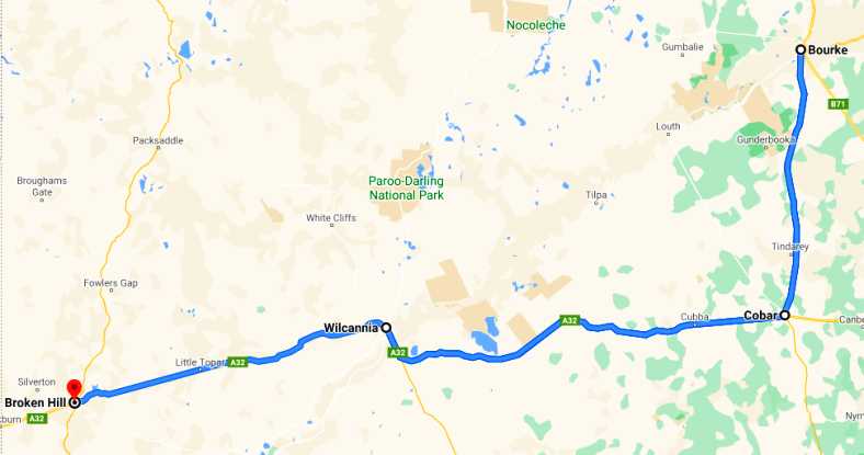
I did take some photos as I drove on this stretch, with the first leg to Cobar being about sixty miles, the majority of it being dead straight highway:
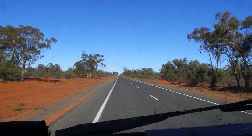
Straight roads. Like most roads in this part of the country, flat and straight for miles on end, I was now on the Kidman Way.
Sidney Kidman, a distant relative of Nicole Kidman, owned or co-owned huge tracts of land in three states. Some say he had 24,000,000 acres, 175,000 cattle and 215,000 sheep, so it’s logical that something be named after him.
One of the obvious things about the traffic was the amount of Northbound caravans, camper trailers and motorhomes. From May onwards you see many Victorians heading out of the colder Winter experienced in that state to head North for a month. Or three.
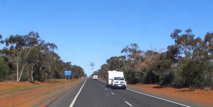
Caravans. Just two of the many caravans I saw during the drive. Here they’re driving through some of the more heavily-treed areas on this run.
Trucks are also a part of the scenery, with railways now defunct in most areas they do a lot of work.
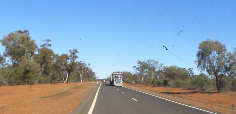
Road train. Many pastoral areas are served by the Kidman Way, so road trains are out in numbers servicing the transport needs.
Not everyone is heading North, however. Some people live on the road in their retirement and often one sees a motorhome with a small vehicle in tow. Usually it’s on a trailer, often it’s a small 4-wheel drive – a Suzuki or similar – for off-road exploration. But not always.
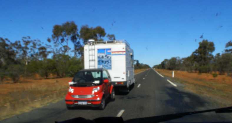
Motorhome and Smart. A blurry photo, unfortunately, but I felt that this rig was something out of the ordinary. The rear wheels of the Smart are off the ground as it’s towed by the motorhome.
It’s a semi-arid part of the world and so trees tend to be stunted in their growth, surrounded usually by much smaller scrub. Even so, there’s not many sections of this road where some kind of tree growth doesn’t line the road.
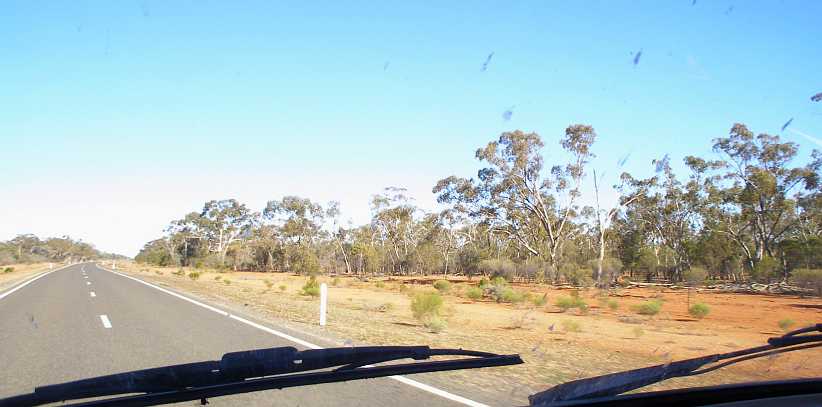
Trees and scrub. There’s even a bend in the road here as I got a shot showing better the nature of most of the trees along this road.
I arrived in Cobar a little after midday. It’s a town that sprawls outwards, with around 4,000 people living in town. Mining and tourism are the biggest industries in the town, though they’re not without retail stores – I stopped to buy some USB memory sticks while there – and the usual services required to keep an area like this going.
Arriving in Cobar. Some protective fencing again in evidence as the Kidman Way comes upon the Barrier Highway at the Eastern end of town.
I was a little earlier than my host was expecting me so I looked around for somewhere to kill half an hour or so. Heading East along the highway led past the extensive Mining Museum, which sits alongside the copper mine which got the town rolling over a century ago, and the headframe in the park on the left…
Busy museum. The carpark indicates that there are plenty of visitors at this museum, but I didn’t go in.
…and over the hill I turned into the Rest Area which is bounded by the Kidman Way’s path Southwards and the Barrier Highway. A pile of mine overburden is used as an exhibit here with a structure showing some of the mining operations, but the little bit of shade under one of those trees was what I was seeking:
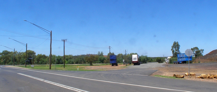
Cobar Rest Area. Neatly placed at the entry to town from the South and the East, this Rest Area gives travellers somewhere to free-camp or simply stop for refreshments.
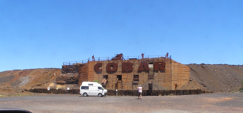
More of past glories. A part of the Rest Area was devoted to showing some of the features of past mining ventures in this display.
I did drive past this current-day mine…
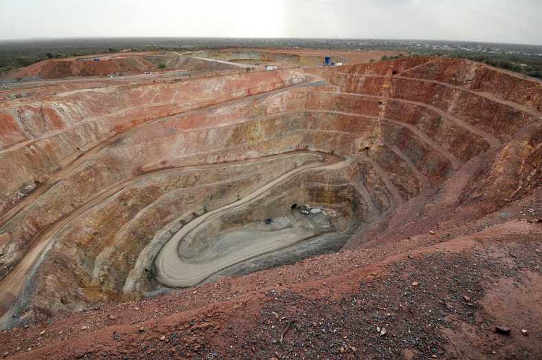
Peak Gold Mine. Open cut on top, then the mine goes underground to reach some rich gold deposits.(Rod and Julie)
…before I made a call to locate Glen’s friend. It wasn’t far to drive and we sat down to a coffee. The addition of a cake came when two more of their friends turned up, so it was a nice social occasion which was most enjoyable.
It was 3:30pm when I refuelled at the Caltex at the Western end of town…
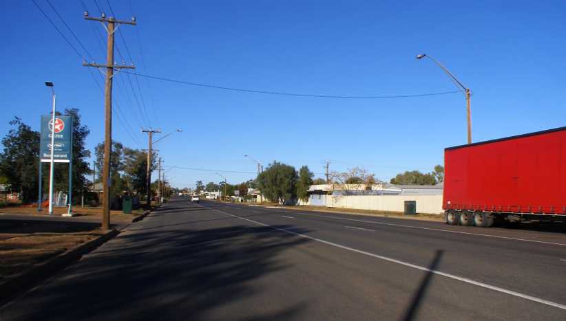
Main street. Looking back down the main street from the Caltex roadhouse, where I parked in some shade to take a bit of a break.
…then I decided to get something to eat as well. It was a while before I got mobile again, not looking forward to driving into the sun.
Still the roads were fairly straight and fairly flat.
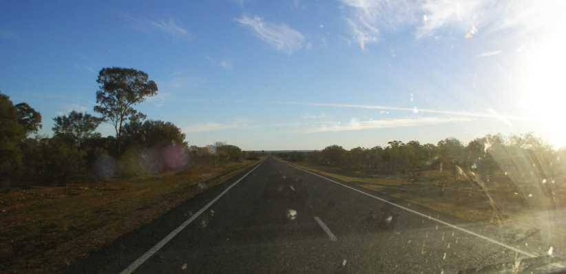
Straight as a die. With the setting sun looking like it will become a menace, this straight stretch towards Wilcannia reaches far into the distance.
Darkness had arrived by the time I reached this next town, about 150 miles on. Several years earlier I’d been warned about stopping here but it looked all quiet and innocent when I drove in. Tiring, I pulled up in a likely spot and nodded off for a while.
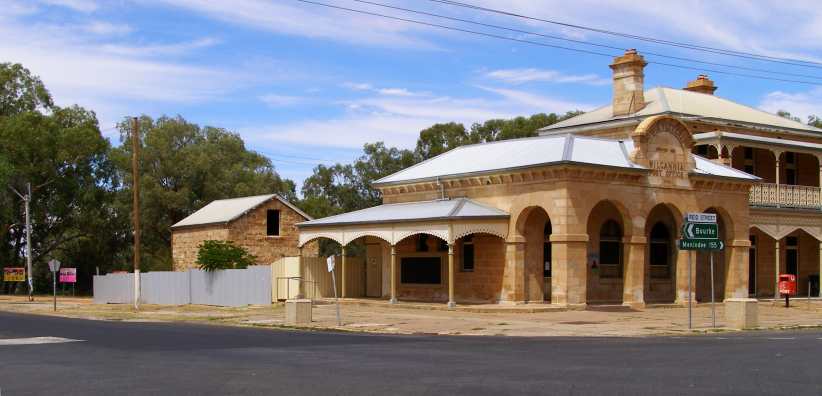
Parking spot. Beside the old post office seemed a benign spot to pull up, so I climbed into the back and lay down for a rest.
But I was awakened a few hours later as some kids started to try to open the doors of the van. I jumped up and got into the driver’s seat and departed from Wilcannia reckoning that perhaps those warnings were meaningful.
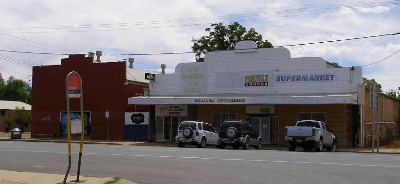
Barred up! The response of local businesses to the wilder activities of a part of the populace – bars over windows, gaol-like bar doors protect the supermarket and the take-away store.
I was now driving late into the night and still had a distance to go before Broken Hill. Then, out there on the barren plains, lights showed up on the horizon. Just when I needed another stop I found the Little Topar Hotel.
I didn’t take much convincing that it would be a good idea to stop.
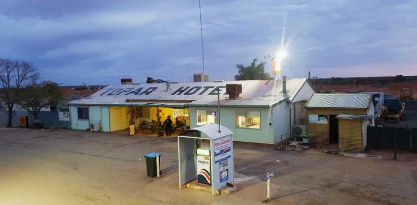
Little Topar Hotel. A bit of the past in the present, this was a very welcome sight to me and I wheeled into the parking area.(FB)
Entering, I found I was one of very few customers. But then, it was after midnight. There were interesting things to look at around the walls and I ordered a coffee and something to eat, and also found my way through the hallways and alleys to the toilets in the back of the place.
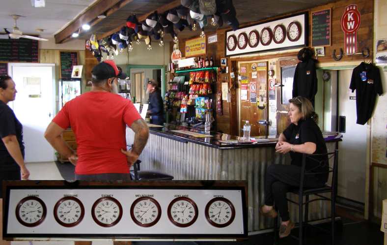
Clocks and bar. A very friendly place, it has clocks which show the time in six different places and staff who make you feel right at home.
I now learn that they have a very active Facebook page and use it to keep in touch with regular customers. It has a multitude of photos, some of the sunsets are quite stunning, while there’s dust storms, rainstorms and lots of trucks.
Once I’d made my move I kept going, getting a little more sleep on the side of the road at Broken Hill. And in the morning I set to finding where I had to work.
Crosstown view. This is the area where I worked that weekend, where some of the residents have a good view of the other side of town and the mountain of overburden from the mines.
One problem I found was that my accommodation had been booked there for the wrong nights – Thursday and Friday rather than Friday and Saturday. I had to sort that out and otherwise had a pleasant time in the town.
The motel was a large one, the Comfort Inn, and was opposite the railway line. The entryway was imposing and it suited the purpose.
Comfort Inn, Broken Hill. Two nights here enabled me to settle in to this outback mining city.
And my days in Broken Hill were comfortable as well as successful work-wise, while the outback sunsets were still visible in town:
Sunset. More overburden is evident in this picture of the sunset on the Saturday evening. The mines dominate the town of 17,500 people.
When I finished on Saturday I had a bit of time for a quick look around. My time in New South Wales was coming to an end and a few weeks in South Australia were to follow…
New fence. Glen’s new fence was just about completed by the time I left, once or twice I was able to give him a small hand with it but he didn’t need much help.
…which was on a corner. The fence came up looking very good.
High fences are commonplace in towns like Bourke, Brewarrina and anywhere there are problems with ‘children’. Some are chain-wire, some are simply corrugated steel roof sheeting. Dogs are commonplace as well, this being something I had to watch as I went from door to door with my work. Glen and Tanya had their own dogs…
Friendly dogs. Their dogs were like their owners, friendly and fun-loving. Chasing toys around was the dogs’ game alone, however.
…which were quite different to a lot of those encountered elsewhere.
Another very friendly dog lived right next door, where I met Phil, a close friend of Glen’s. Meeting Phil was another surprise for me, as in conversation I learned that in his early years in rural Queensland he’d actually spent a little time on my uncle’s property in Boggabilla.
Phil. In his late eighties, Phil has not long handed his business over to someone younger. But it’s still based in his backyard.
I pressed into the work. By Monday night I’d completed distribution in Bourke and North Bourke and on Tuesday morning I got out early for my pickup trip to Brewarrina. I visited the caravan take-away lady again and completed the job as best I could, but it had turned out to be one of the least responsive areas I’d done.
Back in Bourke I took a little time out for sightseeing. I’d heard a lot about the big Crossley engine which was fired up every day to demonstrate to tourists:
Crossley engine. Maintained in first class running order right on the banks of the Barwon, this engine attracts a lot of attention in Bourke.
It was a monster of a machine, though at the time one cylinder was being reconditioned and it was running as a single, the huge flywheel smoothing out the pulses. Some of the detail was of interest to me:
Crossley labels. I’m seriously thinking that obtaining the prescribed “Crossley ‘0’ oil” might be difficult these days, but Waugh & Josephson are still in business and distribute Caterpillar engines and machinery. They date back to 1880 in Sydney and were also manufacturers of machinery.
Cam and injection. This cam arrangement appears to inject lubricant into parts of the engine. Sight glasses like this were not uncommon in the day, I’ve even seen them on racing engines.
I obtained further detail on this Crossley engine from a website:
The Crossley Engine in Bourke is an oil-fuelled stationary engine manufactured by the Crossley Brothers in 1923. Over the years more than 100,000 Crossley oil and gas engines were built, and it is a testament to their quality that many are still in use today. It is an example of an early water-cooled four-stroke diesel type engine, which followed on from the steam era.
With two cylinders sitting side by side and a 6-ton flywheel between them, the 6,562 cubic inch engine produced 138bhp at 260rpm or 108.6 litre with 103kW of power using modern measures. This particular engine was originally used from 1923 to 1938 in the Sydney Power House to generate electricity for Sydney. From 1938 it was used in the Allowrie Butter Factory in Coffs Harbour until 1949 when it went to a property in Narromine in 1949 to pump water for irrigation until 1964. (Brian, B. & W. 2018)
With two cylinders sitting side by side and a 6-ton flywheel between them, the 6,562 cubic inch engine produced 138bhp at 260rpm or 108.6 litre with 103kW of power using modern measures. This particular engine was originally used from 1923 to 1938 in the Sydney Power House to generate electricity for Sydney. From 1938 it was used in the Allowrie Butter Factory in Coffs Harbour until 1949 when it went to a property in Narromine in 1949 to pump water for irrigation until 1964. (Brian, B. & W. 2018)
Another exhibit there alongside the river was this fire truck from the twenties:
Garford fire engine. These vehicles tend to have very long service lives and this one was still in use until the sixties, moving from town to town as needs changed.
The river alongside which these machines were displayed is one of the main tributaries in NSW. The Murray-Darling river system drains all of inland New South Wales and Victoria – that is, everything West of the Great Dividing Range – and parts of Queensland. I’ve mentioned that this river once provided major transport links with paddle-wheeler boats and this led to the need for huge wharves.
The height was important to deal with times of flood and lower levels enabled loading and unloading at more normal river levels. In times of drought there was often insufficient flow to allow the boats to run.
High wharf. In its heyday this wharf would have seen many thousands of tons of wool loaded onto boats, with much machinery and other goods arriving on the boats as well.
It all looks like hard work to me! These days a weir a couple of miles West of town would stop any kind of shipping. A railway line was completed to Bourke in 1885 and so the paddle-wheelers were no longer important. The railway closed in the 1970s.
Wharf and river. With waters held back by the weir, this bend in the river no longer drops to low levels in droughts such as was keeping the country dry when I was there.
As good as it was staying with Glen and Tanya, I was working to get the pickups complete and by Thursday morning I was ready to move along. I was scheduled to work the regular job in Broken Hill that weekend, while some of Glen’s friends were going to welcome me as I went through Cobar. So late on Thursday morning I embarked on the next stage of my trip:
I did take some photos as I drove on this stretch, with the first leg to Cobar being about sixty miles, the majority of it being dead straight highway:
Straight roads. Like most roads in this part of the country, flat and straight for miles on end, I was now on the Kidman Way.
Sidney Kidman, a distant relative of Nicole Kidman, owned or co-owned huge tracts of land in three states. Some say he had 24,000,000 acres, 175,000 cattle and 215,000 sheep, so it’s logical that something be named after him.
One of the obvious things about the traffic was the amount of Northbound caravans, camper trailers and motorhomes. From May onwards you see many Victorians heading out of the colder Winter experienced in that state to head North for a month. Or three.
Caravans. Just two of the many caravans I saw during the drive. Here they’re driving through some of the more heavily-treed areas on this run.
Trucks are also a part of the scenery, with railways now defunct in most areas they do a lot of work.
Road train. Many pastoral areas are served by the Kidman Way, so road trains are out in numbers servicing the transport needs.
Not everyone is heading North, however. Some people live on the road in their retirement and often one sees a motorhome with a small vehicle in tow. Usually it’s on a trailer, often it’s a small 4-wheel drive – a Suzuki or similar – for off-road exploration. But not always.
Motorhome and Smart. A blurry photo, unfortunately, but I felt that this rig was something out of the ordinary. The rear wheels of the Smart are off the ground as it’s towed by the motorhome.
It’s a semi-arid part of the world and so trees tend to be stunted in their growth, surrounded usually by much smaller scrub. Even so, there’s not many sections of this road where some kind of tree growth doesn’t line the road.
Trees and scrub. There’s even a bend in the road here as I got a shot showing better the nature of most of the trees along this road.
I arrived in Cobar a little after midday. It’s a town that sprawls outwards, with around 4,000 people living in town. Mining and tourism are the biggest industries in the town, though they’re not without retail stores – I stopped to buy some USB memory sticks while there – and the usual services required to keep an area like this going.
Arriving in Cobar. Some protective fencing again in evidence as the Kidman Way comes upon the Barrier Highway at the Eastern end of town.
I was a little earlier than my host was expecting me so I looked around for somewhere to kill half an hour or so. Heading East along the highway led past the extensive Mining Museum, which sits alongside the copper mine which got the town rolling over a century ago, and the headframe in the park on the left…
Busy museum. The carpark indicates that there are plenty of visitors at this museum, but I didn’t go in.
…and over the hill I turned into the Rest Area which is bounded by the Kidman Way’s path Southwards and the Barrier Highway. A pile of mine overburden is used as an exhibit here with a structure showing some of the mining operations, but the little bit of shade under one of those trees was what I was seeking:
Cobar Rest Area. Neatly placed at the entry to town from the South and the East, this Rest Area gives travellers somewhere to free-camp or simply stop for refreshments.
More of past glories. A part of the Rest Area was devoted to showing some of the features of past mining ventures in this display.
I did drive past this current-day mine…
Peak Gold Mine. Open cut on top, then the mine goes underground to reach some rich gold deposits.(Rod and Julie)
…before I made a call to locate Glen’s friend. It wasn’t far to drive and we sat down to a coffee. The addition of a cake came when two more of their friends turned up, so it was a nice social occasion which was most enjoyable.
It was 3:30pm when I refuelled at the Caltex at the Western end of town…
Main street. Looking back down the main street from the Caltex roadhouse, where I parked in some shade to take a bit of a break.
…then I decided to get something to eat as well. It was a while before I got mobile again, not looking forward to driving into the sun.
Still the roads were fairly straight and fairly flat.
Straight as a die. With the setting sun looking like it will become a menace, this straight stretch towards Wilcannia reaches far into the distance.
Darkness had arrived by the time I reached this next town, about 150 miles on. Several years earlier I’d been warned about stopping here but it looked all quiet and innocent when I drove in. Tiring, I pulled up in a likely spot and nodded off for a while.
Parking spot. Beside the old post office seemed a benign spot to pull up, so I climbed into the back and lay down for a rest.
But I was awakened a few hours later as some kids started to try to open the doors of the van. I jumped up and got into the driver’s seat and departed from Wilcannia reckoning that perhaps those warnings were meaningful.
Barred up! The response of local businesses to the wilder activities of a part of the populace – bars over windows, gaol-like bar doors protect the supermarket and the take-away store.
I was now driving late into the night and still had a distance to go before Broken Hill. Then, out there on the barren plains, lights showed up on the horizon. Just when I needed another stop I found the Little Topar Hotel.
I didn’t take much convincing that it would be a good idea to stop.
Little Topar Hotel. A bit of the past in the present, this was a very welcome sight to me and I wheeled into the parking area.(FB)
Entering, I found I was one of very few customers. But then, it was after midnight. There were interesting things to look at around the walls and I ordered a coffee and something to eat, and also found my way through the hallways and alleys to the toilets in the back of the place.
Clocks and bar. A very friendly place, it has clocks which show the time in six different places and staff who make you feel right at home.
I now learn that they have a very active Facebook page and use it to keep in touch with regular customers. It has a multitude of photos, some of the sunsets are quite stunning, while there’s dust storms, rainstorms and lots of trucks.
Once I’d made my move I kept going, getting a little more sleep on the side of the road at Broken Hill. And in the morning I set to finding where I had to work.
Crosstown view. This is the area where I worked that weekend, where some of the residents have a good view of the other side of town and the mountain of overburden from the mines.
One problem I found was that my accommodation had been booked there for the wrong nights – Thursday and Friday rather than Friday and Saturday. I had to sort that out and otherwise had a pleasant time in the town.
The motel was a large one, the Comfort Inn, and was opposite the railway line. The entryway was imposing and it suited the purpose.
Comfort Inn, Broken Hill. Two nights here enabled me to settle in to this outback mining city.
And my days in Broken Hill were comfortable as well as successful work-wise, while the outback sunsets were still visible in town:
Sunset. More overburden is evident in this picture of the sunset on the Saturday evening. The mines dominate the town of 17,500 people.
When I finished on Saturday I had a bit of time for a quick look around. My time in New South Wales was coming to an end and a few weeks in South Australia were to follow…
Last edited by Ray Bell; Apr 5, 2021 at 10:00 PM.
Thread Starter
|
Captain
Joined: Oct 2005
Posts: 568
Likes: 8
From: The Summit, Queensland, Australia
The Broken Hill work occupied most of three days. This gave me a little time to get some pics of the place and meet a few people before leaving town. A town of contrasts…
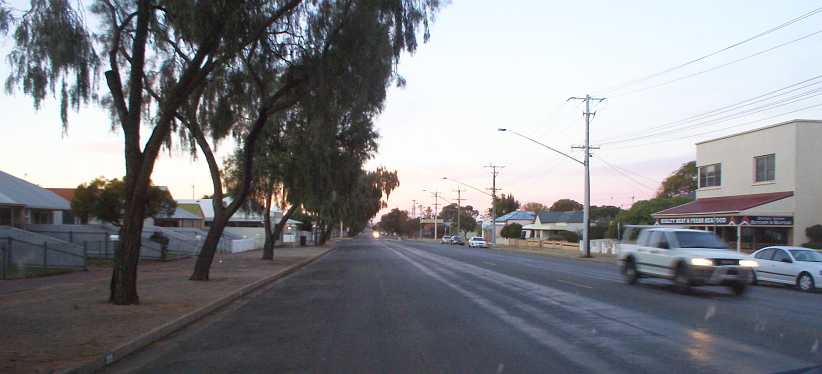
Wide streets. This is one of the ‘suburban’ streets of Broken Hill. A butcher’s shop sits among well-kept homes.
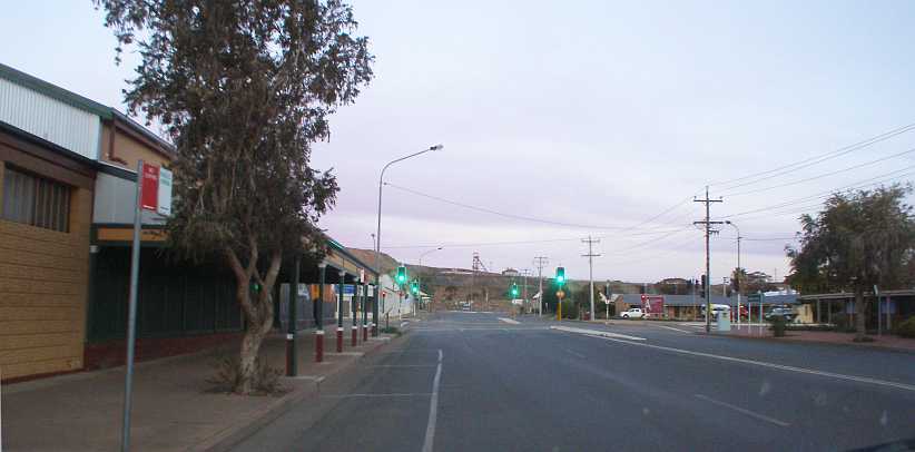
Traffic lights. Traffic lights are installed on most intersections of the main street, here we look across it to one of the mountains of overburden.
It’s a town totally devoted to its mining past and present. The metals mined were silver, lead and zinc, said to have been the richest ore body for these on earth. The Broken Hill Proprietary Company became the biggest business in Australia after commencing operations in 1885. Later it became a huge steel maker with iron ore mines around the country and smelting works as it diversified and grew. Oil exploration became another arm of the business.
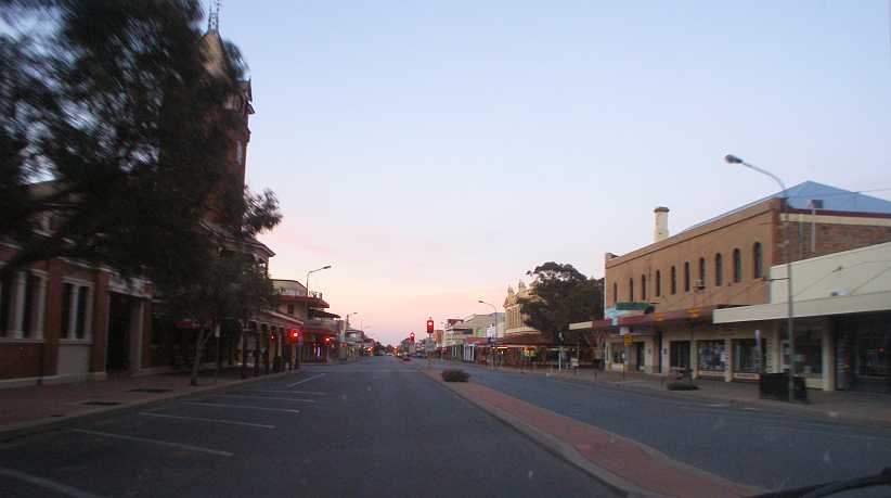
Post Office and clock tower. Almost as old as the town, the 86’ high clock tower over the Post Office was built in the early 1890s.
The commercial centre of town is prosperous…
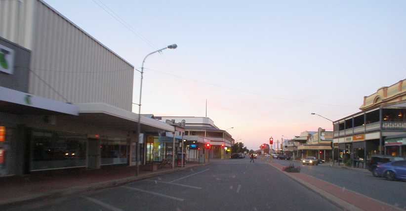
Old and new. Some new buildings mingle with the older-style, some older buildings have been revamped to make up a mixture of appearances in Argent Street.
…while the street names around town reflect its history. Explorer Charles Sturt has a street named after him, and a number of ‘city fathers’ as well, while most of the streets are named after minerals or derivatives. Oxide, Iodide, Uranium, Chloride and Sulphide are among them.
Many of the homes at which I called were old and in need of attention, while others were new or made of better quality materials. Patchwork was commonplace.
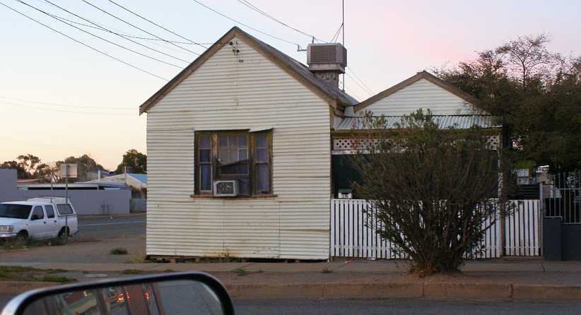
Old house. Though it’s clad with corrugated roofing and appearing to stand on insecure footings, this place still boasts an evaporative air cooler on the roof and a window-mounted air conditioner.
Yes, dealing with heat is one of the prerequisites here, though winters can be cold too.
Late on Sunday I turned my attention to the trip further West…
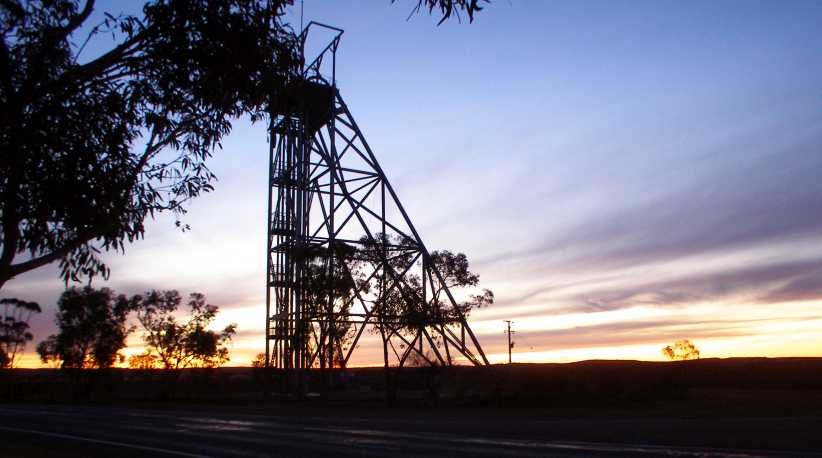
Miner’s sunset. Mixing the symmetry and silhouette of the structure with the random shapes and the last light of day, I stopped to take this picture just out of town.
…and into territory I’d only passed through a couple of times in my life. I was going into South Australia now, where we put the clocks back half an hour. My immediate destination was Peterborough:
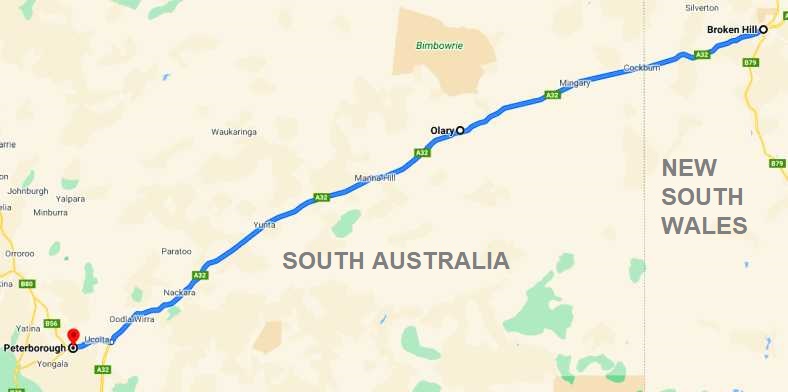
It wasn’t so far that I had to hurry. I knew I would waken early in the morning and have sufficient time to get there before what might be called ‘working hours’ and so I was prepared to stop anywhere along the way.
And at one point on a bit of a quick uphill climb over a small hill I detected clutch slip in fourth gear – just a brief rise in the revs – which saw me quickly back off a fraction. It was a warning sign to me and I noted the need to be careful with the clutch from then on.
I’d seen a group free-camping in the Thackaringa Rest Area just before the border…
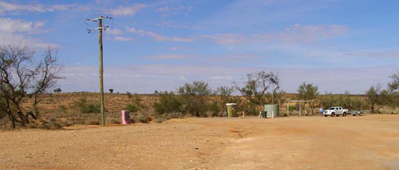
Thackaringa Rest Area. While it had a toilet and a picnic table, this was just a little too bare for me, and probably bordering on crowded. This photo I took at a later time.
…with a couple of caravans and stopped to spend a little time with them, but I elected to drive on to find a Rest Area where there was somewhere I could set up my camp stove and prepare a nice meal from the food I’d bought in Broken Hill. And where there was clean toilets.
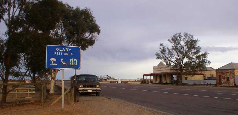
Olary camp. This Rest Area opposite an old hotel at the tiny outpost of Olary provided me with what I needed on Sunday night.
I parked with the side doors of the van facing the fence so it was easier to load and unload my gear. The picnic table was right there and soon I had the gas burners going, steak and vegetables cooking and could follow up with a coffee. Though it looks like I’m right on the edge of the road here, in fact the van is about fifteen feet from the traffic lane as there’s plenty of room to pull over here.
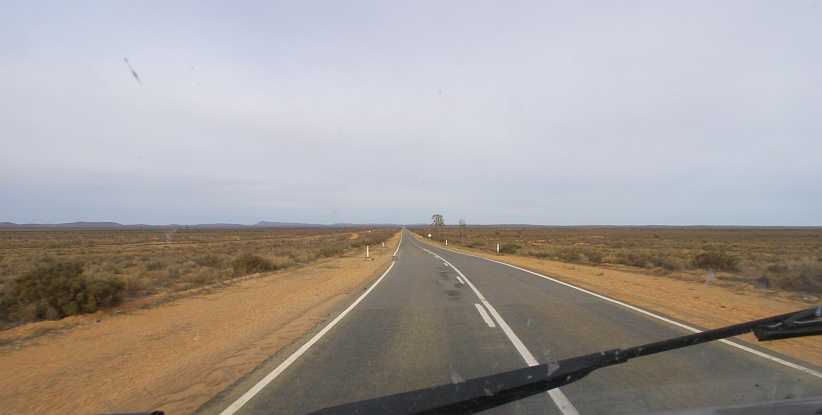
Desolate. Long straight stretches with little to see are the trademark of this part of the country. In the early morning it was easy running.
South Australia has a serious shortage of what the other states have in abundance – hardwood trees. This has been a big part of the reason for lots of stone houses, brick houses in built-up areas, and the invention of the Stobie pole.
I was about a hundred miles out of Broken Hill when I got to Manna Hill, already over half-way on the drive to Peterborough. As we were following the railway line, the places along the way were all railway towns in the past.
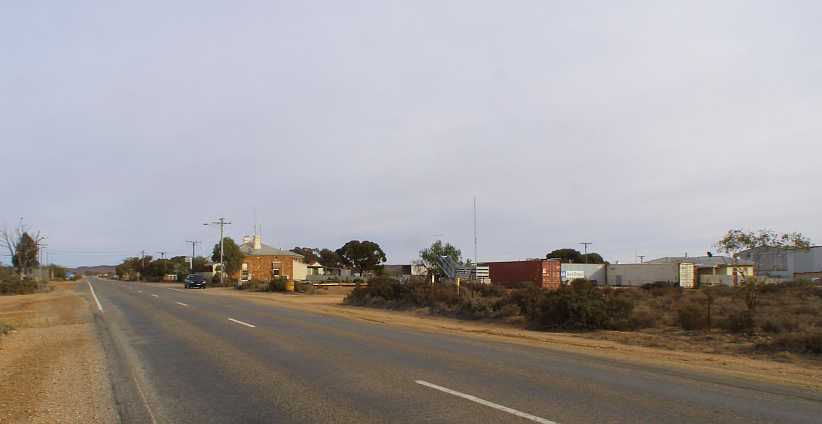
Manna Hill. There’s not much to Manna Hill, barely reason to slow down.
There is a Rest Area, and evidence of a larger population in the past is shown by the War Memorial at the Rest Area – which is right by the old railway station…
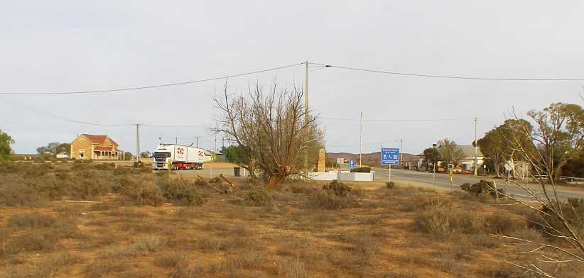
Rest Area and station. A B-double has pulled into the Rest Area to camp the night, the station building reflects past glories of the railway while the War Memorial shows that there were many people from here who were to be remembered.
Water always was a problem in areas like this. Railways of the steam age demanded a lot of water, generally with bores pumping it up into elevated steel tanks so it could be quickly used to fill the tanks in the tenders. But even in the dry of this kind of desert, it seems, the steel tanks can develop leaks which make them useless.
At a guess, I’d say the community has subsequently relied on the railway’s water system to supply the needs of the little community, so they’ve come up with a stop-gap answer to the problem:
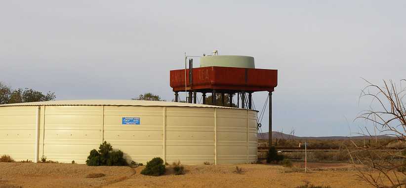
Water tank solution. A round plastic water tank has been put into the old steel tank to retain the priceless water, while the larger ground-level tank has been constructed later.
Aside from little hamlets like Olary and Manna Hill, catching a glimpse of home and hearth was rare. This one stood out at some point in the next fifty miles:
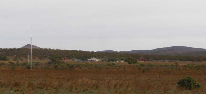
Farmhouse. A substantial farmhouse, surrounded by outbuildings, was one of few places I spotted from the highway. The brown building to the right appears to be a shearing shed.
This is the main highway between Broken Hill and Adelaide. Broken Hill is so much closer to Adelaide than it is to the New South Wales capital of Sydney that it is solidly tied to the South Australian capital. It’s also a part of the main roads system used between both Brisbane and Sydney with Perth.
Even so, it doesn’t carry a lot of traffic most of the time. But all the traffic heading in the direction of Adelaide has to stop to dispose of any fruit on board to prevent fruit fly becoming a threat to agriculture in South Australia. The point where this happens is at Oodla Wirra, where I stopped to eat some mandarins I’d bought in Broken Hill before disposing of the last of them in the bin provided.
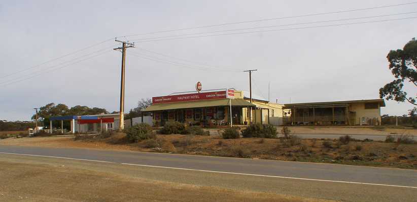
Halfway Hotel. A lot of people park where I have here to eat any fruit in the car before having to give it up a few hundred yards down the road.
Most hours of the day the checkpoint is manned, though I was too early for them this day and voluntarily stopped and put my leftovers in their bin.
A feature of both of these photos is the presence of Stobie poles for the electricity supply. These comprise two steel sections with concrete cast between them, bolts through the concrete hold it all together.
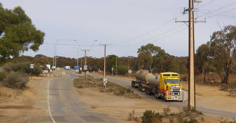
Fruit checkpoint. The divided road here leads into the – usually manned – checkpoint where fruit is confiscated. There are large Stobie poles here, but they do come much larger.
It wasn’t much further before the Petersburg Road diverged to the right from the Barrier Highway, taking me through Ucolta to Peterborough. Which used to be Petersburg, of which more a little later.
Much is made of the railway heritage of the town and the Steamtown Heritage Rail Centre is a major tourist attraction. And it’s acknowledged from the moment you enter town:
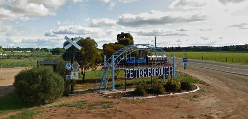
Peterborough. The sign at the start of town leaves no doubt in the visitor’s mind that there’s a railway presence here.(GE)
The main street is long and straight, running alongside the railway. Parts of it look like they’ve come out of the 1800s…
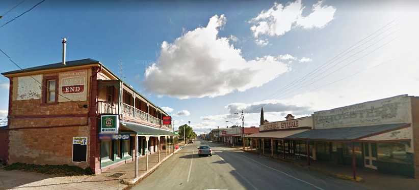
Old shops. Well, the hotel’s not a shop as such, but it’s an old-style structure just like the shops opposite.(GE)
One place I was to get to know well was the cafe built in the old cinema building:
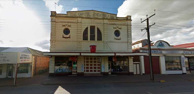
Theatre cafe. The name of the cafe is ‘229 on Main Cafe’ and somehow I was attracted to it as soon as I entered town.(GE)
Inside there’s an abundance of artifacts on display, a highlight being this Ford Prefect:
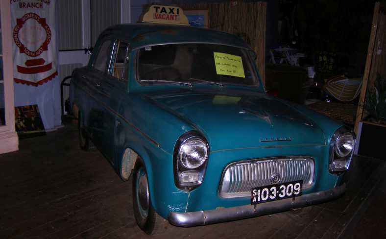
100E Prefect. This car being presented as a taxi is ridiculous as nowhere in Australia was such a small car allowed to operate as a cab.
Looking beyond the freakish fake facade, it was still a throwback to times past. It’s from the fifites, made between 1952 and 1959 in 1,172cc side-valve form and for a further year or two with a 997cc ohv engine.
Looking around at the multitude of other things on display didn’t detract from the quality of the food available and certainly enabled the lone diner to occupy his (or her) time while awaiting their meal’s preparation. A variety of subjects were covered by the displays, including movies… strangely enough:
Other artifacts. Movie characters, a WW2 Jeep, railway equipment, projection gear, it’s all out there to provide interest in this old movie theatre.(Leon James)
After getting something to eat I set off to find the caravan park, which was in the back streets on the Southern side of town:
Caravan park. Right on the edge of town, the caravan park was to be ‘home’ to me for a number of nights.(GE)
And once I’d found my way around there, it was time to start work. I had three areas to cover in Peterborough, where I found further evidence of a different past:
Renamed streets. A number of streets around town have been renamed, their original names having been too solidly German in character.
It was originally a very German community here, as were a number of settlements in South Australia. Hahndorf and Lobethal quickly come to mind. This was partly because of the way the state was originally settled, it not having been a Penal Colony like other states, but stemming from Utopian ideas of how a colony could be self-funding and free of many restrictions placed on those which were directly controlled from London. It would still be a Province of Britain, however.
After eight years the colony was facing bankruptcy. The British government rescued it and helped restore its financial base, but there were still shortcomings which would stunt growth.
It was Lutheran refugees from Germany who joined with the British colonists and spread grape vines through the now-famous Barossa Valley. The state-controlled Prussian Evangelical Church was preventing them freedom of worship, so thousands of them sought a new home with the freedoms they wanted. They went on to create Petersburg, but the bitter conflict that was World War 1 led to the changing of the names.
Foggy morning. My second morning at the caravan park arrived with a thick fog after a night of cold winds driving light rain.
It certainly was winter as July arrived. At home Sandra was telling me that she’d had to run the gas heater each night, too, but I couldn’t convince her that it would be all right to keep the gas running and generate enough heat to be comfortable.
The winds had driven rain into the camp kitchen overnight, too…
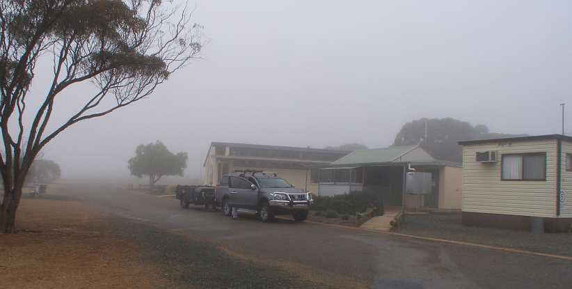
Fogbound kitchen. The camp kitchen had suffered in the wind and rain. Beyond the kitchen is the ablutions and laundry block in this well-equipped caravan park.
…but I was able to brave the conditions to prepare my breakfast as others stayed in their caravans. After three nights in Peterborough I’d move on to the next place, but I’d have to return to complete my pickups. I had a bit of time to look around the small town, still, and I even did a bit of the tourist thing and looked at some of the rail displays:
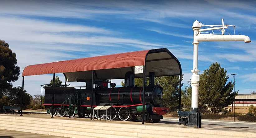
Locomotive. South Australia runs on a 3’6” gauge rail system, so the locos aren’t as big as many. There are several on display in the museum and a couple outside like this one. Note the water stand for quickly filling the tender water tanks.(Paul W)
I didn’t take the time to go into the main display, where other locomotives are on display, but I did take a wander through this carriage, which is set up right on the main street:
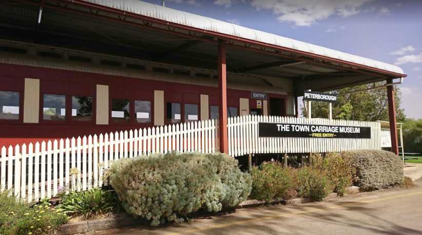
Carriage museum. For a quick look around, this was available before I had lunch one day.(AB)
There was yet another museum in town which I didn’t go to, though I had a chat with the operators. It’s a privately owned museum and I’ll show a bit of that in the next post…
Wide streets. This is one of the ‘suburban’ streets of Broken Hill. A butcher’s shop sits among well-kept homes.
Traffic lights. Traffic lights are installed on most intersections of the main street, here we look across it to one of the mountains of overburden.
It’s a town totally devoted to its mining past and present. The metals mined were silver, lead and zinc, said to have been the richest ore body for these on earth. The Broken Hill Proprietary Company became the biggest business in Australia after commencing operations in 1885. Later it became a huge steel maker with iron ore mines around the country and smelting works as it diversified and grew. Oil exploration became another arm of the business.
Post Office and clock tower. Almost as old as the town, the 86’ high clock tower over the Post Office was built in the early 1890s.
The commercial centre of town is prosperous…
Old and new. Some new buildings mingle with the older-style, some older buildings have been revamped to make up a mixture of appearances in Argent Street.
…while the street names around town reflect its history. Explorer Charles Sturt has a street named after him, and a number of ‘city fathers’ as well, while most of the streets are named after minerals or derivatives. Oxide, Iodide, Uranium, Chloride and Sulphide are among them.
Many of the homes at which I called were old and in need of attention, while others were new or made of better quality materials. Patchwork was commonplace.
Old house. Though it’s clad with corrugated roofing and appearing to stand on insecure footings, this place still boasts an evaporative air cooler on the roof and a window-mounted air conditioner.
Yes, dealing with heat is one of the prerequisites here, though winters can be cold too.
Late on Sunday I turned my attention to the trip further West…
Miner’s sunset. Mixing the symmetry and silhouette of the structure with the random shapes and the last light of day, I stopped to take this picture just out of town.
…and into territory I’d only passed through a couple of times in my life. I was going into South Australia now, where we put the clocks back half an hour. My immediate destination was Peterborough:
It wasn’t so far that I had to hurry. I knew I would waken early in the morning and have sufficient time to get there before what might be called ‘working hours’ and so I was prepared to stop anywhere along the way.
And at one point on a bit of a quick uphill climb over a small hill I detected clutch slip in fourth gear – just a brief rise in the revs – which saw me quickly back off a fraction. It was a warning sign to me and I noted the need to be careful with the clutch from then on.
I’d seen a group free-camping in the Thackaringa Rest Area just before the border…
Thackaringa Rest Area. While it had a toilet and a picnic table, this was just a little too bare for me, and probably bordering on crowded. This photo I took at a later time.
…with a couple of caravans and stopped to spend a little time with them, but I elected to drive on to find a Rest Area where there was somewhere I could set up my camp stove and prepare a nice meal from the food I’d bought in Broken Hill. And where there was clean toilets.
Olary camp. This Rest Area opposite an old hotel at the tiny outpost of Olary provided me with what I needed on Sunday night.
I parked with the side doors of the van facing the fence so it was easier to load and unload my gear. The picnic table was right there and soon I had the gas burners going, steak and vegetables cooking and could follow up with a coffee. Though it looks like I’m right on the edge of the road here, in fact the van is about fifteen feet from the traffic lane as there’s plenty of room to pull over here.
Desolate. Long straight stretches with little to see are the trademark of this part of the country. In the early morning it was easy running.
South Australia has a serious shortage of what the other states have in abundance – hardwood trees. This has been a big part of the reason for lots of stone houses, brick houses in built-up areas, and the invention of the Stobie pole.
I was about a hundred miles out of Broken Hill when I got to Manna Hill, already over half-way on the drive to Peterborough. As we were following the railway line, the places along the way were all railway towns in the past.
Manna Hill. There’s not much to Manna Hill, barely reason to slow down.
There is a Rest Area, and evidence of a larger population in the past is shown by the War Memorial at the Rest Area – which is right by the old railway station…
Rest Area and station. A B-double has pulled into the Rest Area to camp the night, the station building reflects past glories of the railway while the War Memorial shows that there were many people from here who were to be remembered.
Water always was a problem in areas like this. Railways of the steam age demanded a lot of water, generally with bores pumping it up into elevated steel tanks so it could be quickly used to fill the tanks in the tenders. But even in the dry of this kind of desert, it seems, the steel tanks can develop leaks which make them useless.
At a guess, I’d say the community has subsequently relied on the railway’s water system to supply the needs of the little community, so they’ve come up with a stop-gap answer to the problem:
Water tank solution. A round plastic water tank has been put into the old steel tank to retain the priceless water, while the larger ground-level tank has been constructed later.
Aside from little hamlets like Olary and Manna Hill, catching a glimpse of home and hearth was rare. This one stood out at some point in the next fifty miles:
Farmhouse. A substantial farmhouse, surrounded by outbuildings, was one of few places I spotted from the highway. The brown building to the right appears to be a shearing shed.
This is the main highway between Broken Hill and Adelaide. Broken Hill is so much closer to Adelaide than it is to the New South Wales capital of Sydney that it is solidly tied to the South Australian capital. It’s also a part of the main roads system used between both Brisbane and Sydney with Perth.
Even so, it doesn’t carry a lot of traffic most of the time. But all the traffic heading in the direction of Adelaide has to stop to dispose of any fruit on board to prevent fruit fly becoming a threat to agriculture in South Australia. The point where this happens is at Oodla Wirra, where I stopped to eat some mandarins I’d bought in Broken Hill before disposing of the last of them in the bin provided.
Halfway Hotel. A lot of people park where I have here to eat any fruit in the car before having to give it up a few hundred yards down the road.
Most hours of the day the checkpoint is manned, though I was too early for them this day and voluntarily stopped and put my leftovers in their bin.
A feature of both of these photos is the presence of Stobie poles for the electricity supply. These comprise two steel sections with concrete cast between them, bolts through the concrete hold it all together.
Fruit checkpoint. The divided road here leads into the – usually manned – checkpoint where fruit is confiscated. There are large Stobie poles here, but they do come much larger.
It wasn’t much further before the Petersburg Road diverged to the right from the Barrier Highway, taking me through Ucolta to Peterborough. Which used to be Petersburg, of which more a little later.
Much is made of the railway heritage of the town and the Steamtown Heritage Rail Centre is a major tourist attraction. And it’s acknowledged from the moment you enter town:
Peterborough. The sign at the start of town leaves no doubt in the visitor’s mind that there’s a railway presence here.(GE)
The main street is long and straight, running alongside the railway. Parts of it look like they’ve come out of the 1800s…
Old shops. Well, the hotel’s not a shop as such, but it’s an old-style structure just like the shops opposite.(GE)
One place I was to get to know well was the cafe built in the old cinema building:
Theatre cafe. The name of the cafe is ‘229 on Main Cafe’ and somehow I was attracted to it as soon as I entered town.(GE)
Inside there’s an abundance of artifacts on display, a highlight being this Ford Prefect:
100E Prefect. This car being presented as a taxi is ridiculous as nowhere in Australia was such a small car allowed to operate as a cab.
Looking beyond the freakish fake facade, it was still a throwback to times past. It’s from the fifites, made between 1952 and 1959 in 1,172cc side-valve form and for a further year or two with a 997cc ohv engine.
Looking around at the multitude of other things on display didn’t detract from the quality of the food available and certainly enabled the lone diner to occupy his (or her) time while awaiting their meal’s preparation. A variety of subjects were covered by the displays, including movies… strangely enough:
Other artifacts. Movie characters, a WW2 Jeep, railway equipment, projection gear, it’s all out there to provide interest in this old movie theatre.(Leon James)
After getting something to eat I set off to find the caravan park, which was in the back streets on the Southern side of town:
Caravan park. Right on the edge of town, the caravan park was to be ‘home’ to me for a number of nights.(GE)
And once I’d found my way around there, it was time to start work. I had three areas to cover in Peterborough, where I found further evidence of a different past:
Renamed streets. A number of streets around town have been renamed, their original names having been too solidly German in character.
It was originally a very German community here, as were a number of settlements in South Australia. Hahndorf and Lobethal quickly come to mind. This was partly because of the way the state was originally settled, it not having been a Penal Colony like other states, but stemming from Utopian ideas of how a colony could be self-funding and free of many restrictions placed on those which were directly controlled from London. It would still be a Province of Britain, however.
After eight years the colony was facing bankruptcy. The British government rescued it and helped restore its financial base, but there were still shortcomings which would stunt growth.
It was Lutheran refugees from Germany who joined with the British colonists and spread grape vines through the now-famous Barossa Valley. The state-controlled Prussian Evangelical Church was preventing them freedom of worship, so thousands of them sought a new home with the freedoms they wanted. They went on to create Petersburg, but the bitter conflict that was World War 1 led to the changing of the names.
Foggy morning. My second morning at the caravan park arrived with a thick fog after a night of cold winds driving light rain.
It certainly was winter as July arrived. At home Sandra was telling me that she’d had to run the gas heater each night, too, but I couldn’t convince her that it would be all right to keep the gas running and generate enough heat to be comfortable.
The winds had driven rain into the camp kitchen overnight, too…
Fogbound kitchen. The camp kitchen had suffered in the wind and rain. Beyond the kitchen is the ablutions and laundry block in this well-equipped caravan park.
…but I was able to brave the conditions to prepare my breakfast as others stayed in their caravans. After three nights in Peterborough I’d move on to the next place, but I’d have to return to complete my pickups. I had a bit of time to look around the small town, still, and I even did a bit of the tourist thing and looked at some of the rail displays:
Locomotive. South Australia runs on a 3’6” gauge rail system, so the locos aren’t as big as many. There are several on display in the museum and a couple outside like this one. Note the water stand for quickly filling the tender water tanks.(Paul W)
I didn’t take the time to go into the main display, where other locomotives are on display, but I did take a wander through this carriage, which is set up right on the main street:
Carriage museum. For a quick look around, this was available before I had lunch one day.(AB)
There was yet another museum in town which I didn’t go to, though I had a chat with the operators. It’s a privately owned museum and I’ll show a bit of that in the next post…
Last edited by Ray Bell; Apr 12, 2021 at 10:09 AM.
Thread Starter
|
Captain
Joined: Oct 2005
Posts: 568
Likes: 8
From: The Summit, Queensland, Australia
Peterborough was getting fairly comfortable for me. The people I was getting to know at the camping ground, those who were there for a few days, those who came and went each day, were friendly and interesting. Getting around town for those few days I was getting the primary part of the work done, the placing of the questionnaires. And I was doing a little in-town sightseeing.
Quite early in my time there I’d noticed a Valiant parked outside of the motorcycle museum…
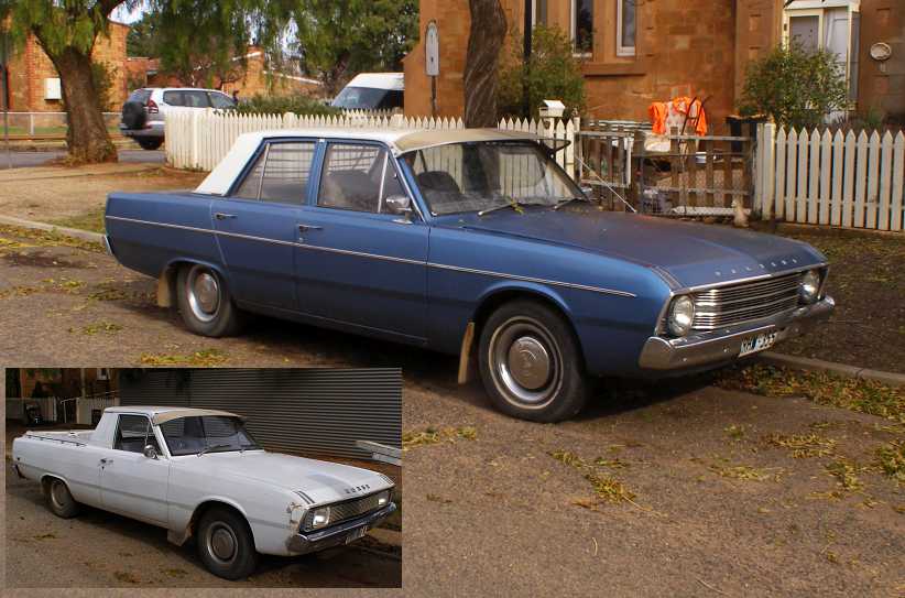
Valiant and Dodge. This Valiant is a VF, sold through 1969 with the slant 6. Inset: The next model, the VG, came with the 245 Hemi 6, with the option for utility buyers to take a base model badged as a Dodge – as is this one.
…and the next day the VG Dodge utility. “Too much of a coincidence!” I thought, so I enquired of the lady in the privately-owned museum and learned the cars belonged to them. I guess I really should have gone for a look through the museum, but motorcycles are not a pursuit of mine.
But I now find pictures online which make me think, “Maybe I should have…”
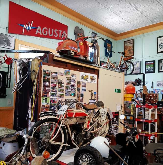
Rare ones. Ancient and just ‘old’, all sorts have been collected for display. Note that the scooter is a 3-wheeler.(Barbara Gale)
And there’s more than just old motorcycles:
Model railway. This model railway layout would represent many hundreds of man-hours of enthusiastic compilation.(Colin Howard)
In the bikes the variety is enormous, I really should have gone in. I will next time I’m there.
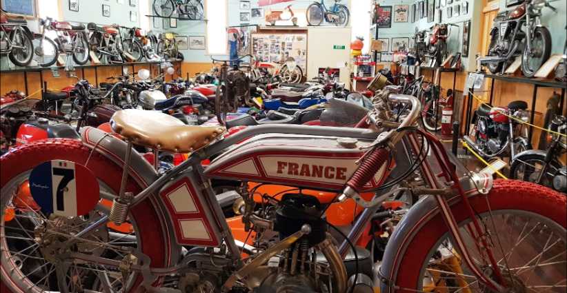
Huge variety. More manufacturers have built the bikes than cars, so it’s no surprise to come across brands you’d never seen or heard of in here.(Barbara Gale)
Now it was time to move along to Wilmington, with the plan being that I’d be back in Peterborough to get more pickups done on Thursday, then head for Melrose on Friday before I had to get through to Port Pirie for the weekend work.
So I headed down the road towards these places, a road not unlike the one which had brought me into Peterborough:
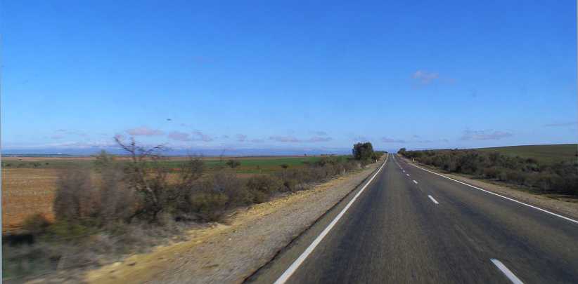
Open road and blue sky. A nice day for Winter and the long straights with no traffic, ideal for travelling the (short) distance.
I had struck some trouble with the tablet I use for my work overnight and I was now in touch with my supervisor. She, in turn, was in touch with the IT people in the office. I was awaiting a call back from them and so I took the time out at Orroroo to look at their giant redgum tree:
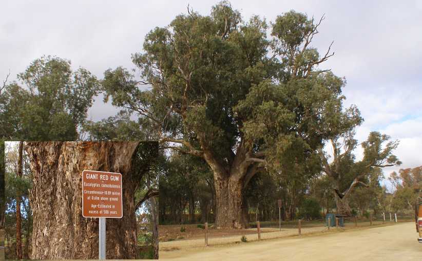
Giant redgum. Nothing like the giant sequoias of North America, very stunted in appearance.Inset: The sign tells us it’s reckoned to be over 500 years old and its girth is over 34 feet.
Having looked at that and still having to wait for the call, I found a shady spot in a side street. Which put me in touch with this Subaru Brumby, a vehicle which is enormously popular among owners of small farms all over Australia.
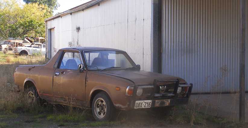
Subaru Brumby. With a low-range giving 4-wheel-drive, these Brumbies are sought after. The name ‘Brumby’ comes from the Australian name for wild horses.
When the call came I had to make sure I was in a location with good phone signal, which I found in a picnic area adjacent to the creek and the golf course:
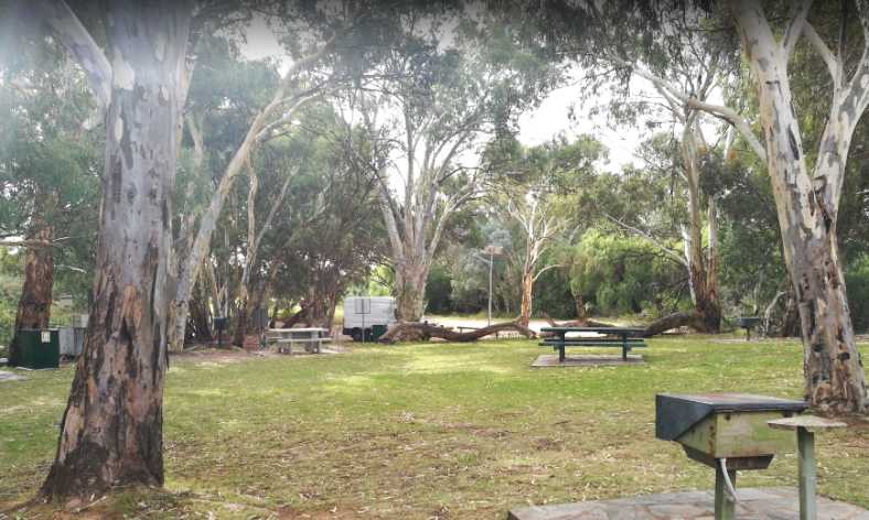
Picnic area. While the IT people worked on the tablet remotely, I found shade and comfort in this creekside location.(Martin Hudec)
After a 2-hour delay I was on the road again and soon reached Wilmington. The work we do almost always has a ‘starting address’ from which we follow a pattern to locate the people we want to find. Sometimes finding that address can be tricky.
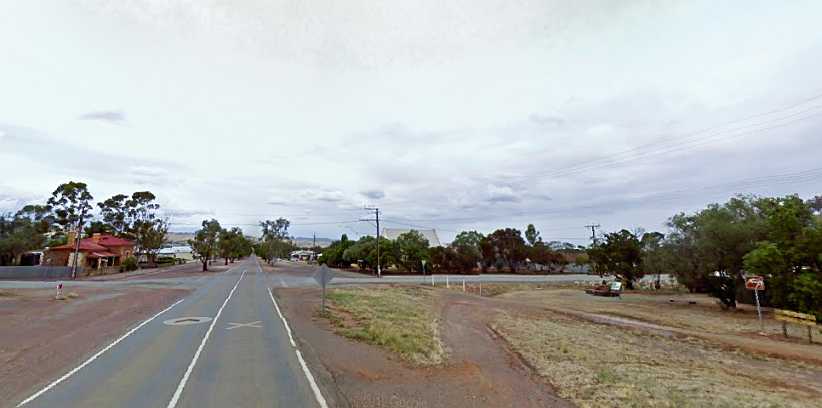
Entering Wilmington. There’s a nice well-treed park and Rest Area on the right here. Wilmington is not a big town.(GE)
My first port of call to try to locate the starting address was the Post Office. I had materials to post away, anyway, so it was a practical move in that sense as well.
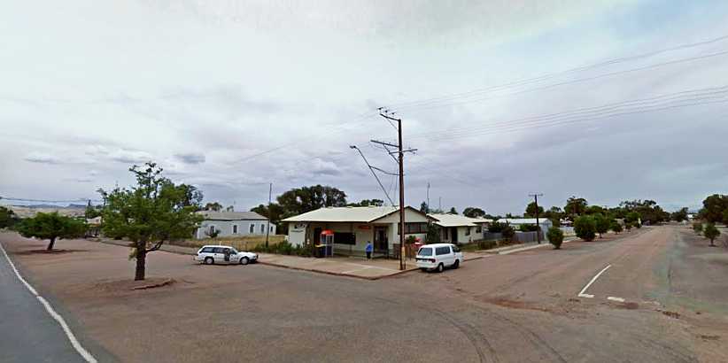
Wilmington Post Office. A centre of community contact in a town like this, Post Offices in towns like this in Australia used to be Government owned and operated, now they are licensed private businesses.
Posting my parcels went smoothly, but not so the enquiry about the starting address. They produced a local map, but it didn’t really give what I wanted, so I was directed to the local service station, where there was someone who was a member of the local volunteer fire brigade and had better knowledge.
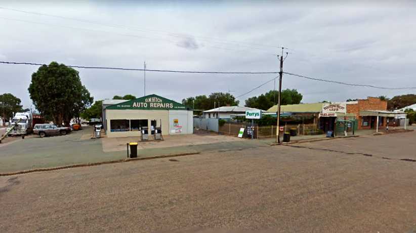
Doing business. I bought fuel at this servo, breakfasts at the cafe and a couple of shirts at the third building, which was a charity store.(GE)
The people at the service station did give me the right directions and they had a good price on their fuel too. The cafe two doors up operated as ‘Roshkates Feedlot’ and produced a fine bacon, egg and fried tomato breakfast, while the brick-fronted building housed a couple of businesses and one had a couple of shirts to help me extend times between laundromats.
My territory. The area where I was to work was to the East of Wilmington and all outside of town. As can be seen, there would be some driving between houses here.(GE)
Prominent in there is the Stony Creek Bush Camp, a camping area where I could spend the night while working in this area. For now I would spend just one night here, but I’d be back the following week as I progressed the work in Wilmington and Melrose.
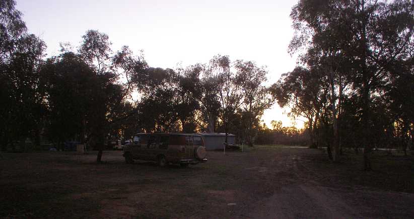
Sunrise. One of the benefits of being in the bush is that if you wake early it presents you with tranquility. Though it looks basic, I had power and wi-fi here.
I was camped fairly close to the camp kitchen and amenities…
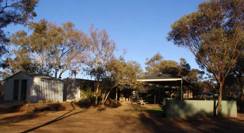
Camp amenities. Multiple amenity blocks were spread through the camp, this one included the camp kitchen on the right, together with an outdoor eating area, with showers and toilets on the left.
The ‘bush camp’ feel was extended to the kitchen area, timber slab benches, raw timber posts – the sort of structure you’d find on a sheep station or similar – while it presented campers with a usable kitchen with all that might be required. There was a television in there and other items of interest, the table-tennis table provided some with a lot of enjoyment too.
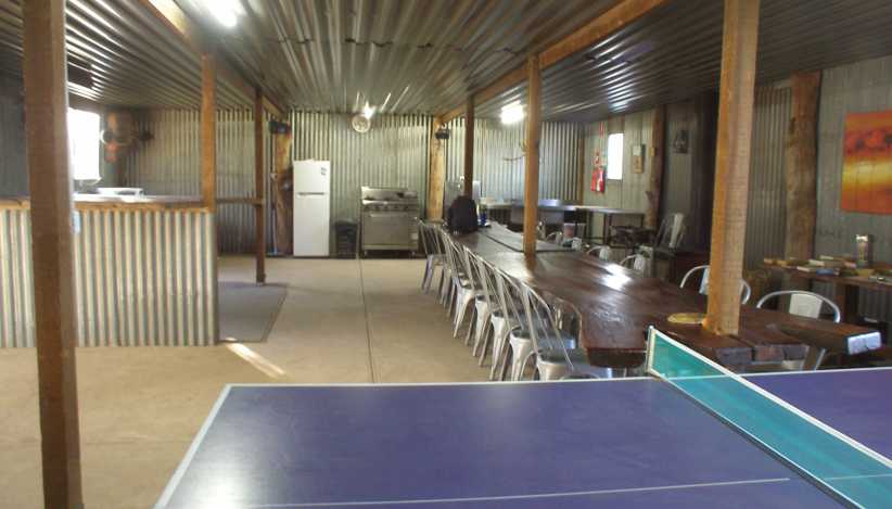
In the kitchen. The stove was old but effective, the sink huge and, naturally, there was hot running water for cleaning up. Local travel brochures were to be found on the bench to the right.
The camp ground was run by an energetic couple who had plans to close down for several months so they could work on improvements. One predilection they held was to have Morris Commercial trucks on display…
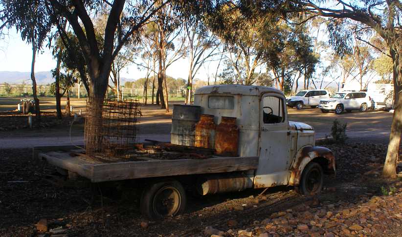
Morris Commercial. Many of these came to Australia in the late forties through to the mid-fifties. Underpowered with a 4-cylinder motor of around 2-litres, they were slow old workhorses.
There are three scattered through the camp. The one pictured, he told me, he’d tried hard to buy from a local farmer who thought he wanted to buy the one he was still using. Eventually this non-runner was hauled off the farm and put on display. I got the feeling it was already fully loaded as the bed was made of railway sleepers (ties) which must have weighed over a ton. This particular model is one of the later ones, fitted with an Austin engine of 2,270cc after the combining of Austin and the Nuffield (Morris) group to form the British Motor Corporation.
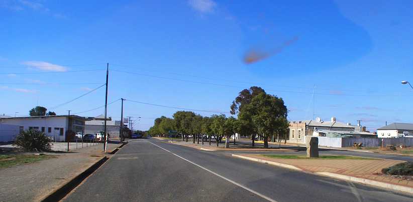
Return through Orroroo. After completing the distribution in the Wilmington area I drove back to Peterborough to start picking up questionnaires left there Monday and Tuesday. This took me once again through Orroroo.
These small towns are smaller than they used to be, and they continue to lose population numbers as people move to the cities. The populations tend to be older as well.
Collections went well at Peterborough, so I was now free to concentrate on the Wilmington and Melrose areas after a final night in the Peterborough Caravan Park.
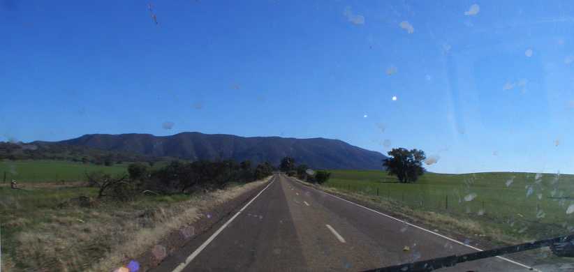
Mount Remarkable. For the direct trip to Melrose I turned off at Orroroo and take the road through Booleroo Centre. This approach puts Mount Remarkable fully in your sights for a long way.
Mount Remarkable dominates the horizon, it’s a real standout as it reaches 961 metres (3,215 feet) whereas the town of Melrose is below 400 metres. The explorer Edward John Eyre discovered it and named it because it was ‘remarkable’ that it stood out so much from the surrounding hills. He wasn’t wrong there.
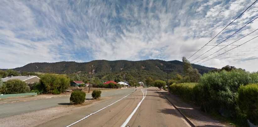
Melrose and Mt Remarkable. The town is still of the ‘spread out’ variety, though its spread only goes in two directions as the mountain gets in the way.(GE)
It was when I turned the corner in the middle of town I found the breakfast nook I needed. “Wozza’s Vault Cafe” was once a bank building, hence its name, and it’s just one of the local businesses providing for the many tourists who come to the area.
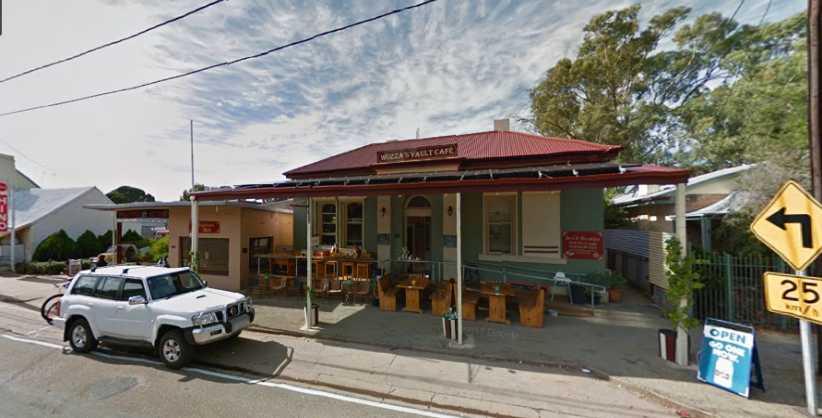
Old bank building. A good breakfast was to be found here, while the sign indicates that the main road through town takes a tight turn.(GE)
I soon found my ‘starting address’ here and started work. I was now under pressure to get all these areas complete as they wanted me to make tracks to the Northern Territory. While I started in town, it wasn’t long before the direction I had to take was out of town, where a newwork of gravel roads led me to outlying farms.
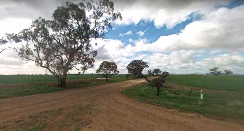
Roads like these. Narrow gravel roads formed a network to the North-East of town and I was to get to know them well.(GE)
When I’d done I had to consider my weekend work. The company had now arranged that I’d spend three nights at Port Pirie in a motel, with the area to be covered being at a place just South of there. To get to Port Pirie I had to travel off via Murraytown and then go through the Germain Gorge. This was to be a real treat.
Germain Gorge Road. Twisting and following a creek, this road would take me between some high hills and over a number of bridges.(GE)
I’m really glad that I did this at night, though the pictures from Street View are necessarily of daylight running:
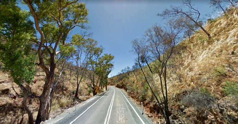
Creeks, hills and bends. Surrounded by hills and with a creek off to the left – which would overflow and close the road in heavy rains – this drive was a great sight and a dramatic change from the other roads I’d been on recently.(GE)
The locals call it the 'Gap' road, it would have been fun to do it in the daytime. At the time I wrote to some friends, “As I drove it was dark and a sliver of moon was gleaming down above the mountains.” It truly was picturesque.
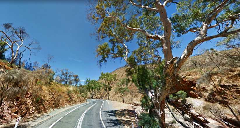
Moonlight drive. You might picture how this old gnarled gum tree might be silhouetted in the moon, and just how much concentration was required by this road.(GE)
And then the ground flattened and the road took me to the main Port Augusta Highway, I skipped the turnoff to Port Germain and went to Port Pirie to find my motel.
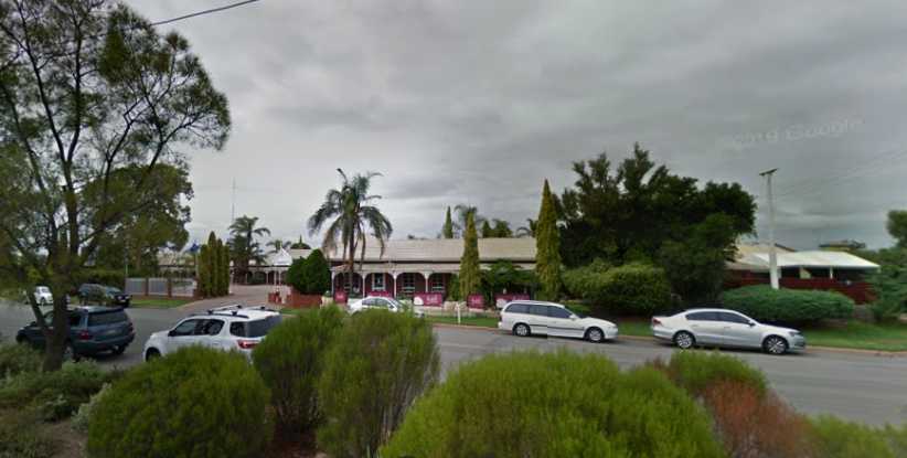
John Pirie Motor Inn. Just on the edge of this sizeable town, my room was out the back and a bit hard to get into with the van.(GE)
Such was the time when I got there I ordered my meal from the motel dining room, though I ate in my room. Saturday would be soon enough to go looking around Port Pirie for other places to buy food.
I did say I felt under pressure now to get to the ‘Red Centre’ – and I was getting reminders – so one of my contingency plans, to visit a friend in Adelaide, went by the board here.
Still, I felt I was going well and definitely enjoying myself. I settled in for a good night in a motel bed…
Quite early in my time there I’d noticed a Valiant parked outside of the motorcycle museum…
Valiant and Dodge. This Valiant is a VF, sold through 1969 with the slant 6. Inset: The next model, the VG, came with the 245 Hemi 6, with the option for utility buyers to take a base model badged as a Dodge – as is this one.
…and the next day the VG Dodge utility. “Too much of a coincidence!” I thought, so I enquired of the lady in the privately-owned museum and learned the cars belonged to them. I guess I really should have gone for a look through the museum, but motorcycles are not a pursuit of mine.
But I now find pictures online which make me think, “Maybe I should have…”
Rare ones. Ancient and just ‘old’, all sorts have been collected for display. Note that the scooter is a 3-wheeler.(Barbara Gale)
And there’s more than just old motorcycles:
Model railway. This model railway layout would represent many hundreds of man-hours of enthusiastic compilation.(Colin Howard)
In the bikes the variety is enormous, I really should have gone in. I will next time I’m there.
Huge variety. More manufacturers have built the bikes than cars, so it’s no surprise to come across brands you’d never seen or heard of in here.(Barbara Gale)
Now it was time to move along to Wilmington, with the plan being that I’d be back in Peterborough to get more pickups done on Thursday, then head for Melrose on Friday before I had to get through to Port Pirie for the weekend work.
So I headed down the road towards these places, a road not unlike the one which had brought me into Peterborough:
Open road and blue sky. A nice day for Winter and the long straights with no traffic, ideal for travelling the (short) distance.
I had struck some trouble with the tablet I use for my work overnight and I was now in touch with my supervisor. She, in turn, was in touch with the IT people in the office. I was awaiting a call back from them and so I took the time out at Orroroo to look at their giant redgum tree:
Giant redgum. Nothing like the giant sequoias of North America, very stunted in appearance.Inset: The sign tells us it’s reckoned to be over 500 years old and its girth is over 34 feet.
Having looked at that and still having to wait for the call, I found a shady spot in a side street. Which put me in touch with this Subaru Brumby, a vehicle which is enormously popular among owners of small farms all over Australia.
Subaru Brumby. With a low-range giving 4-wheel-drive, these Brumbies are sought after. The name ‘Brumby’ comes from the Australian name for wild horses.
When the call came I had to make sure I was in a location with good phone signal, which I found in a picnic area adjacent to the creek and the golf course:
Picnic area. While the IT people worked on the tablet remotely, I found shade and comfort in this creekside location.(Martin Hudec)
After a 2-hour delay I was on the road again and soon reached Wilmington. The work we do almost always has a ‘starting address’ from which we follow a pattern to locate the people we want to find. Sometimes finding that address can be tricky.
Entering Wilmington. There’s a nice well-treed park and Rest Area on the right here. Wilmington is not a big town.(GE)
My first port of call to try to locate the starting address was the Post Office. I had materials to post away, anyway, so it was a practical move in that sense as well.
Wilmington Post Office. A centre of community contact in a town like this, Post Offices in towns like this in Australia used to be Government owned and operated, now they are licensed private businesses.
Posting my parcels went smoothly, but not so the enquiry about the starting address. They produced a local map, but it didn’t really give what I wanted, so I was directed to the local service station, where there was someone who was a member of the local volunteer fire brigade and had better knowledge.
Doing business. I bought fuel at this servo, breakfasts at the cafe and a couple of shirts at the third building, which was a charity store.(GE)
The people at the service station did give me the right directions and they had a good price on their fuel too. The cafe two doors up operated as ‘Roshkates Feedlot’ and produced a fine bacon, egg and fried tomato breakfast, while the brick-fronted building housed a couple of businesses and one had a couple of shirts to help me extend times between laundromats.
My territory. The area where I was to work was to the East of Wilmington and all outside of town. As can be seen, there would be some driving between houses here.(GE)
Prominent in there is the Stony Creek Bush Camp, a camping area where I could spend the night while working in this area. For now I would spend just one night here, but I’d be back the following week as I progressed the work in Wilmington and Melrose.
Sunrise. One of the benefits of being in the bush is that if you wake early it presents you with tranquility. Though it looks basic, I had power and wi-fi here.
I was camped fairly close to the camp kitchen and amenities…
Camp amenities. Multiple amenity blocks were spread through the camp, this one included the camp kitchen on the right, together with an outdoor eating area, with showers and toilets on the left.
The ‘bush camp’ feel was extended to the kitchen area, timber slab benches, raw timber posts – the sort of structure you’d find on a sheep station or similar – while it presented campers with a usable kitchen with all that might be required. There was a television in there and other items of interest, the table-tennis table provided some with a lot of enjoyment too.
In the kitchen. The stove was old but effective, the sink huge and, naturally, there was hot running water for cleaning up. Local travel brochures were to be found on the bench to the right.
The camp ground was run by an energetic couple who had plans to close down for several months so they could work on improvements. One predilection they held was to have Morris Commercial trucks on display…
Morris Commercial. Many of these came to Australia in the late forties through to the mid-fifties. Underpowered with a 4-cylinder motor of around 2-litres, they were slow old workhorses.
There are three scattered through the camp. The one pictured, he told me, he’d tried hard to buy from a local farmer who thought he wanted to buy the one he was still using. Eventually this non-runner was hauled off the farm and put on display. I got the feeling it was already fully loaded as the bed was made of railway sleepers (ties) which must have weighed over a ton. This particular model is one of the later ones, fitted with an Austin engine of 2,270cc after the combining of Austin and the Nuffield (Morris) group to form the British Motor Corporation.
Return through Orroroo. After completing the distribution in the Wilmington area I drove back to Peterborough to start picking up questionnaires left there Monday and Tuesday. This took me once again through Orroroo.
These small towns are smaller than they used to be, and they continue to lose population numbers as people move to the cities. The populations tend to be older as well.
Collections went well at Peterborough, so I was now free to concentrate on the Wilmington and Melrose areas after a final night in the Peterborough Caravan Park.
Mount Remarkable. For the direct trip to Melrose I turned off at Orroroo and take the road through Booleroo Centre. This approach puts Mount Remarkable fully in your sights for a long way.
Mount Remarkable dominates the horizon, it’s a real standout as it reaches 961 metres (3,215 feet) whereas the town of Melrose is below 400 metres. The explorer Edward John Eyre discovered it and named it because it was ‘remarkable’ that it stood out so much from the surrounding hills. He wasn’t wrong there.
Melrose and Mt Remarkable. The town is still of the ‘spread out’ variety, though its spread only goes in two directions as the mountain gets in the way.(GE)
It was when I turned the corner in the middle of town I found the breakfast nook I needed. “Wozza’s Vault Cafe” was once a bank building, hence its name, and it’s just one of the local businesses providing for the many tourists who come to the area.
Old bank building. A good breakfast was to be found here, while the sign indicates that the main road through town takes a tight turn.(GE)
I soon found my ‘starting address’ here and started work. I was now under pressure to get all these areas complete as they wanted me to make tracks to the Northern Territory. While I started in town, it wasn’t long before the direction I had to take was out of town, where a newwork of gravel roads led me to outlying farms.
Roads like these. Narrow gravel roads formed a network to the North-East of town and I was to get to know them well.(GE)
When I’d done I had to consider my weekend work. The company had now arranged that I’d spend three nights at Port Pirie in a motel, with the area to be covered being at a place just South of there. To get to Port Pirie I had to travel off via Murraytown and then go through the Germain Gorge. This was to be a real treat.
Germain Gorge Road. Twisting and following a creek, this road would take me between some high hills and over a number of bridges.(GE)
I’m really glad that I did this at night, though the pictures from Street View are necessarily of daylight running:
Creeks, hills and bends. Surrounded by hills and with a creek off to the left – which would overflow and close the road in heavy rains – this drive was a great sight and a dramatic change from the other roads I’d been on recently.(GE)
The locals call it the 'Gap' road, it would have been fun to do it in the daytime. At the time I wrote to some friends, “As I drove it was dark and a sliver of moon was gleaming down above the mountains.” It truly was picturesque.
Moonlight drive. You might picture how this old gnarled gum tree might be silhouetted in the moon, and just how much concentration was required by this road.(GE)
And then the ground flattened and the road took me to the main Port Augusta Highway, I skipped the turnoff to Port Germain and went to Port Pirie to find my motel.
John Pirie Motor Inn. Just on the edge of this sizeable town, my room was out the back and a bit hard to get into with the van.(GE)
Such was the time when I got there I ordered my meal from the motel dining room, though I ate in my room. Saturday would be soon enough to go looking around Port Pirie for other places to buy food.
I did say I felt under pressure now to get to the ‘Red Centre’ – and I was getting reminders – so one of my contingency plans, to visit a friend in Adelaide, went by the board here.
Still, I felt I was going well and definitely enjoying myself. I settled in for a good night in a motel bed…
Last edited by Ray Bell; Jan 10, 2021 at 10:09 PM.
Thread Starter
|
Captain
Joined: Oct 2005
Posts: 568
Likes: 8
From: The Summit, Queensland, Australia
Returning to the subject at hand...On Saturday morning I drove off in the direction of this place, Crystal Brook, not having any idea what it would be like. In this flat and featureless country close to the Spencer Gulf the roads are usually straight and often parallel the railway line. I was on the lookout for a good fuel price, too, as this was the closest I’d get to a big city for some weeks to come.
Hence I took note of this place just outside of Port Pirie:
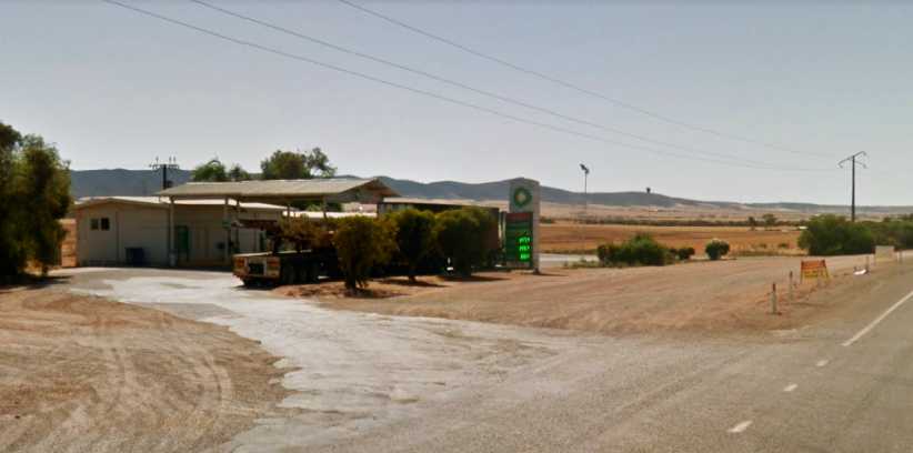
BP Warnertown. I saw a very good price for fuel here and noted it for my return trip…(GE)
When I did reach Crystal Brook I found a nice, friendly little town surrounded by farmlands. Work here was fairly easy due to the friendliness of the people.
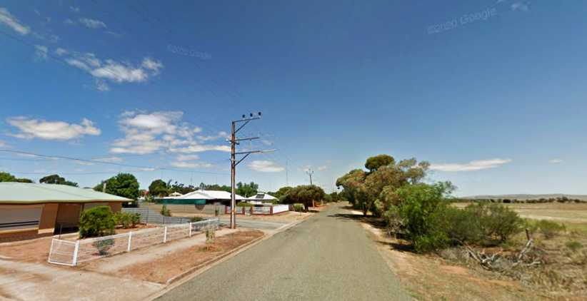
Crystal Brook. I was working in streets close to the farmlands, with nice trees available under which I could park the van to keep it cool.(GE)
I went off and found the little bakery in the shopping centre when I wanted some lunch and the impression the town was giving me didn’t alter. Friendly, handy, a nice place to visit. Of course, at the end of the day I headed back to the motel at Port Pirie and on the way learned that the BP at Warnertown closed fairly early on Saturday evenings. Not that it was a problem, there was still enough fuel in the tank for now.
I repeated the exercise on Sunday to complete the job and got my fuel then. On the Monday morning I went around to the local Aldi store to top up my supplies a bit.
I’d developed the expression during my travels through so much country where there is no Aldi – “I’m running out of Aldi!” – no matter what the item might have been. It had been at Dalby the day after I left home that I’d last been able to shop with them. The Port Pirie Aldi store was out in an area bordering on industrial…
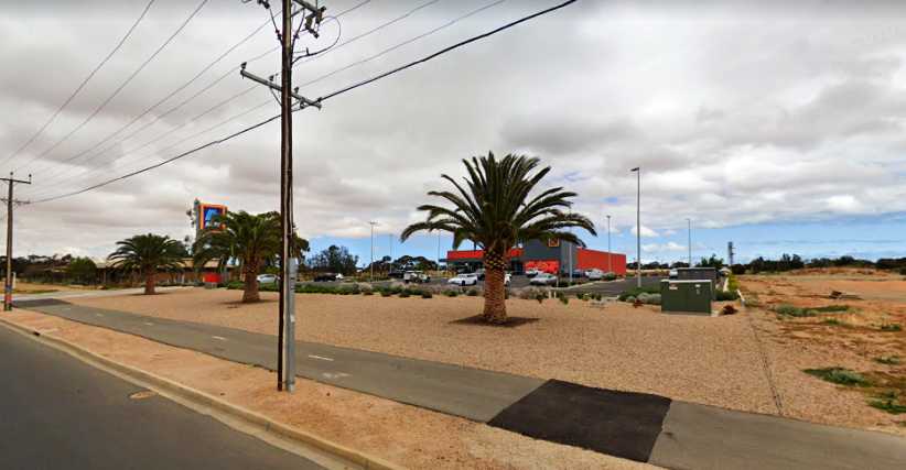
Aldi Port Pirie. It was a source of comfort to me to top up my supplies at the prices Aldi offered, and to have the things I’ve become used to using too.(GE)
And here I struck trouble! Like at Cardston, at Helena and back in Toowoomba, after a short drive in the morning, before the engine was properly warmed up, when I returned to the van it refused to start. But having seen what happened at Toowoomba, I just waited half and hour and tried again, which worked.
I came to the conclusion it has something to do with the automatic choke. Not warmed up enough to turn it off but the carby’s otherwise ready to operate at running temperatures so it floods, perhaps?
After that I drove around a little in the same area and spotted an op shot (or ‘thrift shop’) and thought it might be a good idea to see if there might be anything there to further extend my wardrobe and enable me to go longer without laundry visits:
Lifeline Port Pirie. Another chance to expand my available quantity of clothes was not passed up.(GE)
And then it was time to head back to work. I went to Melrose first as it was closest and then on to Wilmington, but there would still be another visit to Melrose to pick up from ‘stragglers.’
One of the things which had intrigued me at Wilmington was a yard with a lot of old International Harvester trucks. On this trip through I finally caught up with the owner, who proudly told me he had one of every model from 1935 to 1965 (or thereabouts) in some form or another.
From the fifties. How familiar these were back in my youth…
And the sixties. …and these, with the body shape borrowed by Chrysler for the local Dodges.
It was intriguing stepping over chassis rails and axles, not to mention pipes and girders, to look around the trucks – both small and large – and of which there was plenty of variety:
Variety. A pickup from the early fifties, a 5-tonner from the mid-sixties, an former tow-truck of similar vintage and an older truck stand in line.
But there was much more interesting variety inside the shed. He told me he had two 1935 models, one an Australian-built version and the other being one he’d imported from America. They were his treasures…
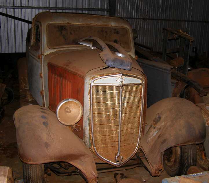
Australian-built. The Aussie-made ‘35 model has a ‘styleside’ pickup body
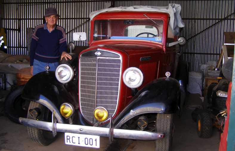
Fully imported. The owner stands alongside his pride and joy, which has a tub-style pickup bed with timber rails atop it, though they don’t show in this pic.
All of this carelessly mingled with farm machinery, old drums and construction materials, it’s a yard which pickers would love to get into:
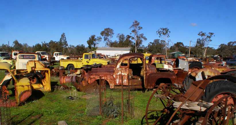
Scattered treasures. You can see here that it would take a lot of photos to cover the whole lot.
Having completed my pickups for the day I retired to my final night at the Stony Creek Bush Camp, then early in the morning I did the last of what I had to do in Wilmington and – after taking in breakfast at Rostikates Feedlot – went back across to Melrose.
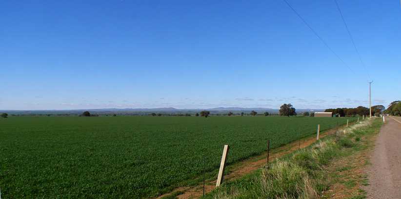
Winter crop. While driving around Melrose I got this shot of a healthy winter crop starting to grow.
The sun was heading West as I got some pictures of the more fertile ground near Willochra Creek on my way out of Melrose. Here a farmer has ploughed and planted all around the trees to create a picturesque layout:
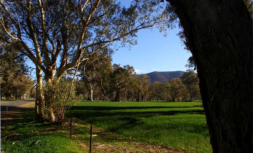
The trees at Melrose. Among these gum trees you can see some with huge girths like the one at Orroroo.
Even though the girths might get large, the trees are not tall at that size, which limits their usefulness as timber. But they certainly look good, especially in a land where few trees grow.
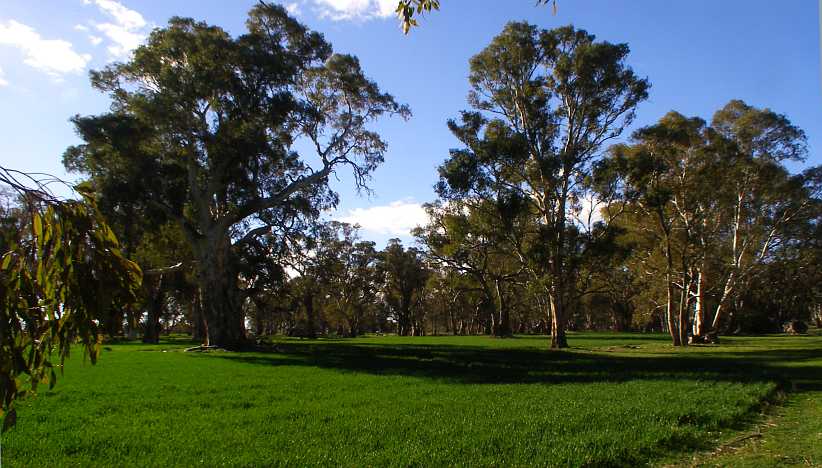
Crop around the trees. It would have been more work for the tractor, but fitting the crop around the trees suits this farmer.
There’s evidence, too, that some tree-felling has been done:
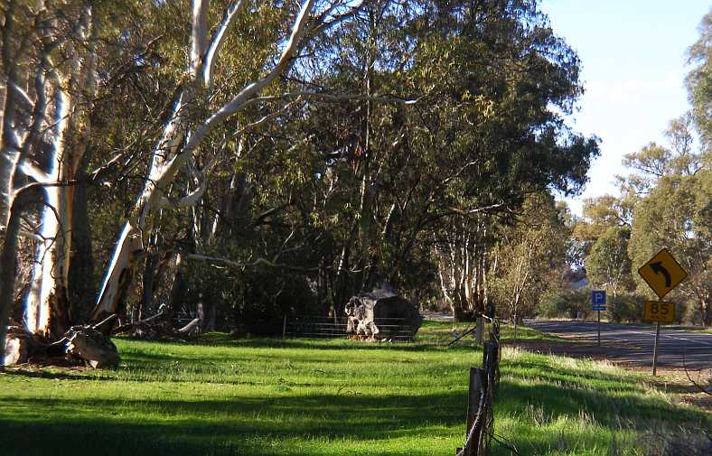
Large trunk. While it’s hollow in the middle, this stump of a tree must weigh a few tons.
My work was completed here. Now I was going to be working in the first area I would really call the ‘outback’ and I started to drive off towards Port Augusta.
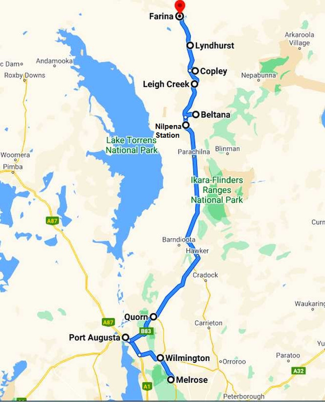
I had really been looking forward to this drive. I’d been over this road as a passenger in a semi-trailer back in 1979 when I hitch-hiked to the Australian Grand Prix in Perth and remembered it fondly. The pass over this section of the hills is called ‘Horrocks Pass’ after the man who found the way.
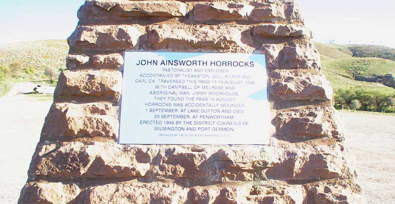
Horrocks memorial. At the top of the pass there is this plaque in a stone memorial to John Horrocks.
It reads:
The reason for my vivid memory of this road was the descent towards Port Augusta, which follows a creek which winds and turns its way downwards. The road was sometimes on the left of the creek, sometimes on its right, and where it crossed the creek it did so through dips and that made it a quite interesting drive.
Today it’s more mundane, the intervening forty years had seen many realignments done. Unfortunately my camera’s settings got out of whack here as well as me driving into the afternoon sun, so my pics were lousy for the most part and I’ve had to rely on Google Earth again. These pics show that, over the years, culverts have been built and earth moved to straighten it out a bit too:
No more dips. When I first came down here the creek crossing, now through a culvert, was a huge dip in the road.(GE)
After the descent levelled out a bit I got one fair shot:
Sun in my eyes. Towards the bottom of the descent the road has a different character altogether, giving much gentler bends.
And finally the coast came into view. Well, the upper reaches of Spencer Gulf, the waterway which provides Port Pirie and Port Augusta with a direct connection with the Southern Ocean and their ability to ship goods to the outside world. Both of them have grown on the back of metals exploration and mining, though not to the extent that Whyalla – across the other side of the Gulf – has with its blast furnace and foundries and shipbuilding.
The Broken Hill Proprietary plays a huge role in this area. Their lead and silver were railed from Broken Hill to Port Pirie for smelting. At Whyalla the iron ore came from from nearby Iron ****. Initially the ore was shipped to Newcastle (New South Wales) for processing, but in the 1930s it became a 2-way street. Coal from Newcastle was shipped to Whyalla and iron ore was shipped back to Newcastle and production continued in both locations.
Port Augusta was mainly for shipping, with copper from inland mines joining with wool and meat from farming activities in the area to which I was about to travel.
Spencer Gulf. This branch of the Southern Ocean reaches right up into Port Augusta and would be the only connection I had with the sea for my whole trip.
Eventually I was onto flatter ground on the highway which joins Adelaide to Port Augusta, at this point being the Augusta Highway, but overall a part of Highway 1, which rings Australia. It’s also the Princes Highway as far as Port Augusta, only gathering the ‘Augusta’ name from Port Wakefield. The Princes Highway runs all around the coast from Sydney, but it becomes the Eyre Highway from Port Augusta onwards.
If that’s not confusing enough, there are the railways. For the past fifteen or so years there has been a standard-gauge railway from Darwin in the North to Adelaide. The standard-gauge line from Sydney to Broken Hill was extended to meet up with that over thirty years ago, while the crossing of the desert to Perth was built as a standard-gauge line to give a rail link to Western Australia as a part of the deal done at Federation.
The point of all of this is that huge freight trains, often three kilometres or two miles long, are used to transport goods from the modern container-handling port in Darwin to the Southern states. Trains rumble down to Port Augusta, then carriages for Perth are broken off and sent West, for Sydney, Melbourne and Brisbane are sent East to be further broken down in Parkes in the mid-West of NSW.
I was hoping and expecting to see one of these long trains, usually loaded with containers stacked two-high (as I’d seen in America) somewhere along my way. And this day I saw one. But again I had the wrong settings on the camera and didn’t realise:
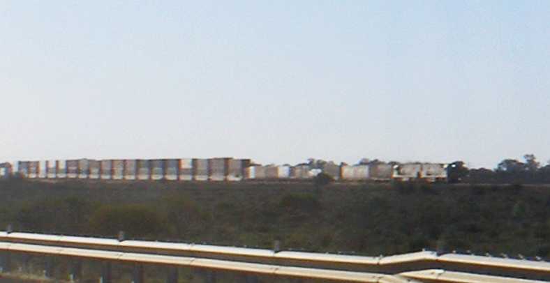
Train spotted. As I got close to Port Augusta this train came into view…
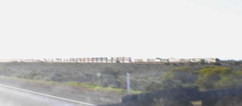
Closer. …and I wish I’d known as I took these shots that the camera’s settings were wrong!
Ironically, I wasn’t to see another such train on the whole trip. Even though I was in Alice Springs for a couple of weeks, they eluded me. But here’s one going along the section where I’ve taken my lousy photos:
As it takes almost two minutes to pass the camera, you get a fair feel for its length.
Of course, with me now venturing out into the outback area, it was a course of wisdom to do a little more shopping. No Aldi, of course, but in the tight-ish confines of the main part of Port Augusta’s CBD I found somewhere to get something:
Tight shopping. Finding my way around the shopping area proved difficult at first, but I was able to get what I needed.(GE)
And then it was on to put at least a few of the miles I still had to cover towards my next ‘starting address’ and find somewhere to stay. I drove into Quorn late in the afternoon…
Quorn. Wide streets, one of the hallmarks of South Australia’s country towns, lined with stone and brick houses and buildings. The area is fairly flat.
I asked around and soon got directions to the caravan park, the other side of the railway I’d crossed as I followed the Flinders Ranges Way into town. Using bores, dams (in season) and other means, the town has enough water to promote the growth of some substantial trees and the caravan park has many of these:
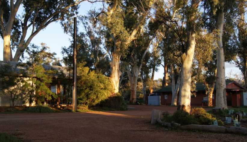
Quorn caravan park. Trees dominate this picture of the corner of the park where the camp kitchen (left) and the main amenities block are located.
I arrived there as darkness was taking hold and found they were pretty packed out. It was school holiday time in South Australia as well as the main tourist season as city people do their touring of the outback in the cooler weather.
I was given a spot in a corner with a power point. It was only a little way behind the office and so I’d have good wi-fi signal…
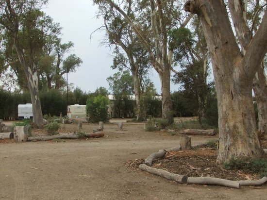
More trees. Campsites are shaded by these trees, my spot was a bit to the right of these caravans.
…while my first concern was getting into the camp kitchen and cooking my meal.
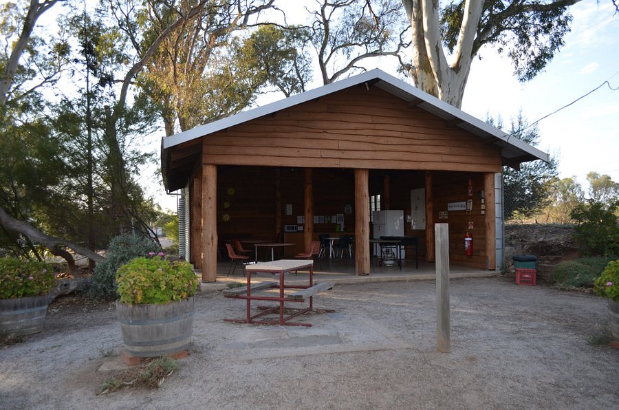
Open kitchen. A different angle on the camp kitchen. It was fully-equipped except for hot water, which was obtained from the outdoor sink just visible in the shot which includes the amenity block.
I settled back into the van and completed the work I had to do with the questionnaires I’d been picking up since Peterborough, spent some time on the internet and eventually got off to sleep. I still had little idea of what the country I’d enter the next day would bring…
Hence I took note of this place just outside of Port Pirie:
BP Warnertown. I saw a very good price for fuel here and noted it for my return trip…(GE)
When I did reach Crystal Brook I found a nice, friendly little town surrounded by farmlands. Work here was fairly easy due to the friendliness of the people.
Crystal Brook. I was working in streets close to the farmlands, with nice trees available under which I could park the van to keep it cool.(GE)
I went off and found the little bakery in the shopping centre when I wanted some lunch and the impression the town was giving me didn’t alter. Friendly, handy, a nice place to visit. Of course, at the end of the day I headed back to the motel at Port Pirie and on the way learned that the BP at Warnertown closed fairly early on Saturday evenings. Not that it was a problem, there was still enough fuel in the tank for now.
I repeated the exercise on Sunday to complete the job and got my fuel then. On the Monday morning I went around to the local Aldi store to top up my supplies a bit.
I’d developed the expression during my travels through so much country where there is no Aldi – “I’m running out of Aldi!” – no matter what the item might have been. It had been at Dalby the day after I left home that I’d last been able to shop with them. The Port Pirie Aldi store was out in an area bordering on industrial…
Aldi Port Pirie. It was a source of comfort to me to top up my supplies at the prices Aldi offered, and to have the things I’ve become used to using too.(GE)
And here I struck trouble! Like at Cardston, at Helena and back in Toowoomba, after a short drive in the morning, before the engine was properly warmed up, when I returned to the van it refused to start. But having seen what happened at Toowoomba, I just waited half and hour and tried again, which worked.
I came to the conclusion it has something to do with the automatic choke. Not warmed up enough to turn it off but the carby’s otherwise ready to operate at running temperatures so it floods, perhaps?
After that I drove around a little in the same area and spotted an op shot (or ‘thrift shop’) and thought it might be a good idea to see if there might be anything there to further extend my wardrobe and enable me to go longer without laundry visits:
Lifeline Port Pirie. Another chance to expand my available quantity of clothes was not passed up.(GE)
And then it was time to head back to work. I went to Melrose first as it was closest and then on to Wilmington, but there would still be another visit to Melrose to pick up from ‘stragglers.’
One of the things which had intrigued me at Wilmington was a yard with a lot of old International Harvester trucks. On this trip through I finally caught up with the owner, who proudly told me he had one of every model from 1935 to 1965 (or thereabouts) in some form or another.
From the fifties. How familiar these were back in my youth…
And the sixties. …and these, with the body shape borrowed by Chrysler for the local Dodges.
It was intriguing stepping over chassis rails and axles, not to mention pipes and girders, to look around the trucks – both small and large – and of which there was plenty of variety:
Variety. A pickup from the early fifties, a 5-tonner from the mid-sixties, an former tow-truck of similar vintage and an older truck stand in line.
But there was much more interesting variety inside the shed. He told me he had two 1935 models, one an Australian-built version and the other being one he’d imported from America. They were his treasures…
Australian-built. The Aussie-made ‘35 model has a ‘styleside’ pickup body
Fully imported. The owner stands alongside his pride and joy, which has a tub-style pickup bed with timber rails atop it, though they don’t show in this pic.
All of this carelessly mingled with farm machinery, old drums and construction materials, it’s a yard which pickers would love to get into:
Scattered treasures. You can see here that it would take a lot of photos to cover the whole lot.
Having completed my pickups for the day I retired to my final night at the Stony Creek Bush Camp, then early in the morning I did the last of what I had to do in Wilmington and – after taking in breakfast at Rostikates Feedlot – went back across to Melrose.
Winter crop. While driving around Melrose I got this shot of a healthy winter crop starting to grow.
The sun was heading West as I got some pictures of the more fertile ground near Willochra Creek on my way out of Melrose. Here a farmer has ploughed and planted all around the trees to create a picturesque layout:
The trees at Melrose. Among these gum trees you can see some with huge girths like the one at Orroroo.
Even though the girths might get large, the trees are not tall at that size, which limits their usefulness as timber. But they certainly look good, especially in a land where few trees grow.
Crop around the trees. It would have been more work for the tractor, but fitting the crop around the trees suits this farmer.
There’s evidence, too, that some tree-felling has been done:
Large trunk. While it’s hollow in the middle, this stump of a tree must weigh a few tons.
My work was completed here. Now I was going to be working in the first area I would really call the ‘outback’ and I started to drive off towards Port Augusta.
I had really been looking forward to this drive. I’d been over this road as a passenger in a semi-trailer back in 1979 when I hitch-hiked to the Australian Grand Prix in Perth and remembered it fondly. The pass over this section of the hills is called ‘Horrocks Pass’ after the man who found the way.
Horrocks memorial. At the top of the pass there is this plaque in a stone memorial to John Horrocks.
It reads:
John Ainsworth Horrocks
Pastoralist and explorer
Accompanied by Theakston, Gill, Kilroy and Garlick, traversed this pass 17-19 August, 1846 with Campbell of Melrose and Aboriginal man Jimmy Moorehouse. They found the pass 10 August.
Horrocks was accidentally wounded 1 September at Lake Dutton and died 23 September at Penwortham.
Today it’s more mundane, the intervening forty years had seen many realignments done. Unfortunately my camera’s settings got out of whack here as well as me driving into the afternoon sun, so my pics were lousy for the most part and I’ve had to rely on Google Earth again. These pics show that, over the years, culverts have been built and earth moved to straighten it out a bit too:
No more dips. When I first came down here the creek crossing, now through a culvert, was a huge dip in the road.(GE)
After the descent levelled out a bit I got one fair shot:
Sun in my eyes. Towards the bottom of the descent the road has a different character altogether, giving much gentler bends.
And finally the coast came into view. Well, the upper reaches of Spencer Gulf, the waterway which provides Port Pirie and Port Augusta with a direct connection with the Southern Ocean and their ability to ship goods to the outside world. Both of them have grown on the back of metals exploration and mining, though not to the extent that Whyalla – across the other side of the Gulf – has with its blast furnace and foundries and shipbuilding.
The Broken Hill Proprietary plays a huge role in this area. Their lead and silver were railed from Broken Hill to Port Pirie for smelting. At Whyalla the iron ore came from from nearby Iron ****. Initially the ore was shipped to Newcastle (New South Wales) for processing, but in the 1930s it became a 2-way street. Coal from Newcastle was shipped to Whyalla and iron ore was shipped back to Newcastle and production continued in both locations.
Port Augusta was mainly for shipping, with copper from inland mines joining with wool and meat from farming activities in the area to which I was about to travel.
Spencer Gulf. This branch of the Southern Ocean reaches right up into Port Augusta and would be the only connection I had with the sea for my whole trip.
Eventually I was onto flatter ground on the highway which joins Adelaide to Port Augusta, at this point being the Augusta Highway, but overall a part of Highway 1, which rings Australia. It’s also the Princes Highway as far as Port Augusta, only gathering the ‘Augusta’ name from Port Wakefield. The Princes Highway runs all around the coast from Sydney, but it becomes the Eyre Highway from Port Augusta onwards.
If that’s not confusing enough, there are the railways. For the past fifteen or so years there has been a standard-gauge railway from Darwin in the North to Adelaide. The standard-gauge line from Sydney to Broken Hill was extended to meet up with that over thirty years ago, while the crossing of the desert to Perth was built as a standard-gauge line to give a rail link to Western Australia as a part of the deal done at Federation.
The point of all of this is that huge freight trains, often three kilometres or two miles long, are used to transport goods from the modern container-handling port in Darwin to the Southern states. Trains rumble down to Port Augusta, then carriages for Perth are broken off and sent West, for Sydney, Melbourne and Brisbane are sent East to be further broken down in Parkes in the mid-West of NSW.
I was hoping and expecting to see one of these long trains, usually loaded with containers stacked two-high (as I’d seen in America) somewhere along my way. And this day I saw one. But again I had the wrong settings on the camera and didn’t realise:
Train spotted. As I got close to Port Augusta this train came into view…
Closer. …and I wish I’d known as I took these shots that the camera’s settings were wrong!
Ironically, I wasn’t to see another such train on the whole trip. Even though I was in Alice Springs for a couple of weeks, they eluded me. But here’s one going along the section where I’ve taken my lousy photos:
As it takes almost two minutes to pass the camera, you get a fair feel for its length.
Of course, with me now venturing out into the outback area, it was a course of wisdom to do a little more shopping. No Aldi, of course, but in the tight-ish confines of the main part of Port Augusta’s CBD I found somewhere to get something:
Tight shopping. Finding my way around the shopping area proved difficult at first, but I was able to get what I needed.(GE)
And then it was on to put at least a few of the miles I still had to cover towards my next ‘starting address’ and find somewhere to stay. I drove into Quorn late in the afternoon…
Quorn. Wide streets, one of the hallmarks of South Australia’s country towns, lined with stone and brick houses and buildings. The area is fairly flat.
I asked around and soon got directions to the caravan park, the other side of the railway I’d crossed as I followed the Flinders Ranges Way into town. Using bores, dams (in season) and other means, the town has enough water to promote the growth of some substantial trees and the caravan park has many of these:
Quorn caravan park. Trees dominate this picture of the corner of the park where the camp kitchen (left) and the main amenities block are located.
I arrived there as darkness was taking hold and found they were pretty packed out. It was school holiday time in South Australia as well as the main tourist season as city people do their touring of the outback in the cooler weather.
I was given a spot in a corner with a power point. It was only a little way behind the office and so I’d have good wi-fi signal…
More trees. Campsites are shaded by these trees, my spot was a bit to the right of these caravans.
…while my first concern was getting into the camp kitchen and cooking my meal.
Open kitchen. A different angle on the camp kitchen. It was fully-equipped except for hot water, which was obtained from the outdoor sink just visible in the shot which includes the amenity block.
I settled back into the van and completed the work I had to do with the questionnaires I’d been picking up since Peterborough, spent some time on the internet and eventually got off to sleep. I still had little idea of what the country I’d enter the next day would bring…
Last edited by Ray Bell; Dec 30, 2020 at 08:59 AM.
Thread Starter
|
Captain
Joined: Oct 2005
Posts: 568
Likes: 8
From: The Summit, Queensland, Australia
I was back out to the camp kitchen in the morning, I had my favourite bread (from Aldi) and the toaster was there on the bench. Of course there were others in the kitchen at the time and there was plenty to be talked about as we were all a long way from home.
Having completed the packaging of the materials for the completed areas, my next task was to post them away. I ascertained that the postal service from Quorn wasn’t as good as that from Hawker, the next town up the Outback Highway, so I headed for that as my next destination.
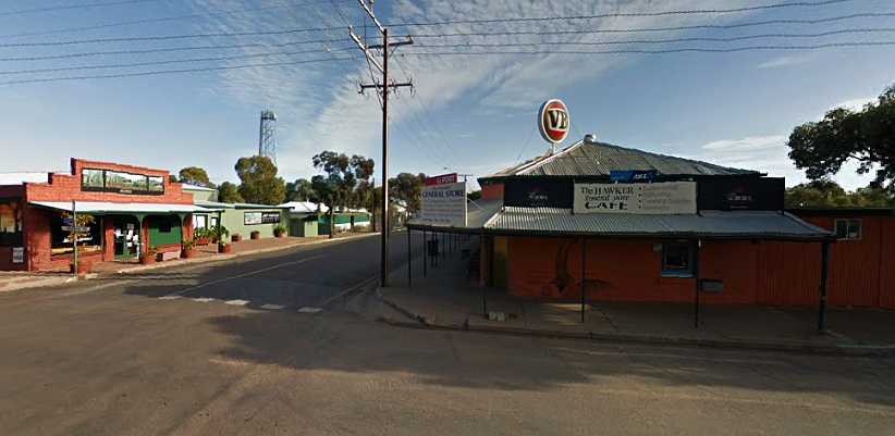
Hawker Post Office. General store, liquor store, cafe and post office, this was where I dropped off my packages to go back to the office.
Having had an early breakfast and then spent a bit of time packing and driving, I was thinking about eating again, so I looked around and found yet another little cafe to get a bacon and egg roll to keep me going through the rest of the day. After all, I was now heading out into a part of the country where you couldn’t be sure what services were available, wasn’t I?
So the sun was high in the sky as I drove on the next stretch, with long straights heading directly into the sun. I had about 70 miles to go from Hawker to my destination and I was noting how the hills way off to one side or the other just came and went as I drove…
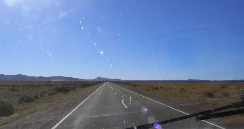
Heading into the sun. This long straight seemed as though it would reach the hills. But it was deceiving me.
The main feature of this area is the Flinders Ranges, with the famous Wilpena Pound not too far away. But not on this road, here the Flinders kept their place to my right as I headed through flat countryside:
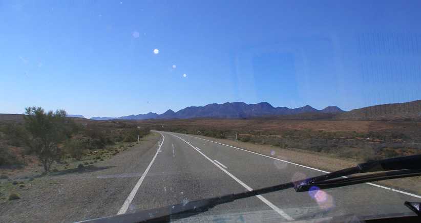
Flinders on the right. That’s the Flinders Ranges there, standing out above the flat country which people have tried to farm for over a hundred years.
I was looking for people living at Nilpena. I would soon learn there wasn’t much at Nilpena. The first sign of life I saw on the way through here was the hotel at Parachilna, then I started looking for my starting address at the point where a road went off to the right to Beltana. But I wasn’t to take that road.
As I drove I noted that the van had reached another milestone…
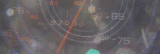
97,500 miles. A low mileage for a 32-year-old vehicle. It would tick over many more before I got home.
Periodically I would see signs of a railway, at this point to my left. This is now unused, but it was only three years earlier that it had been used for hauling coal out of Leigh Creek’s open-cut mine. Way before that it had been a line which stretched to Alice Springs and had been intended to extend to Darwin. It moved a bit over the years, changed gauges too, with the final use being to transport coal from Leigh Creek to Port Augusta for a major power station there.
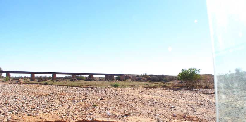
Disused.[i] Lots of infrastructure goes unused in places like this as the needs change over decades. Three years before my trip this culvert had seen trains carrying over two million tons of coal each year.[/b]
Ultimately I reached my goal and turned into a driveway. It was a long driveway, with Nilpena Station at the end of it, I found someone home and that was a major success for the moment. I also took a couple of photos:
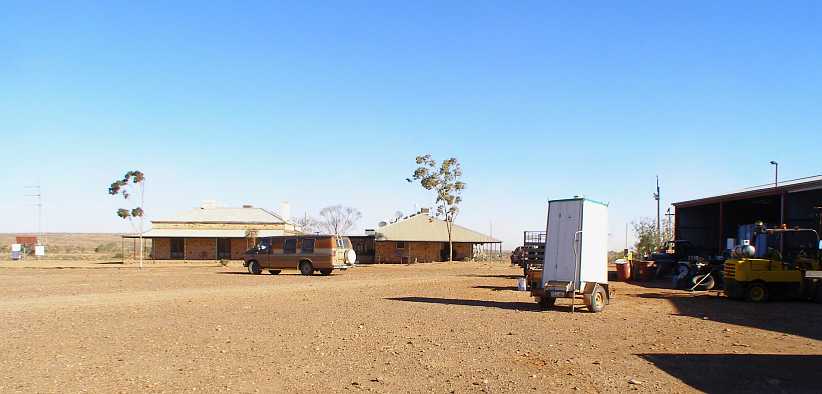
Nilpena Station homestead. Once again, all stone construction because of the lack of available timbers, this home and shed was a part of a very large sheep station.
I didn’t have the only Dodge there that day, this one…
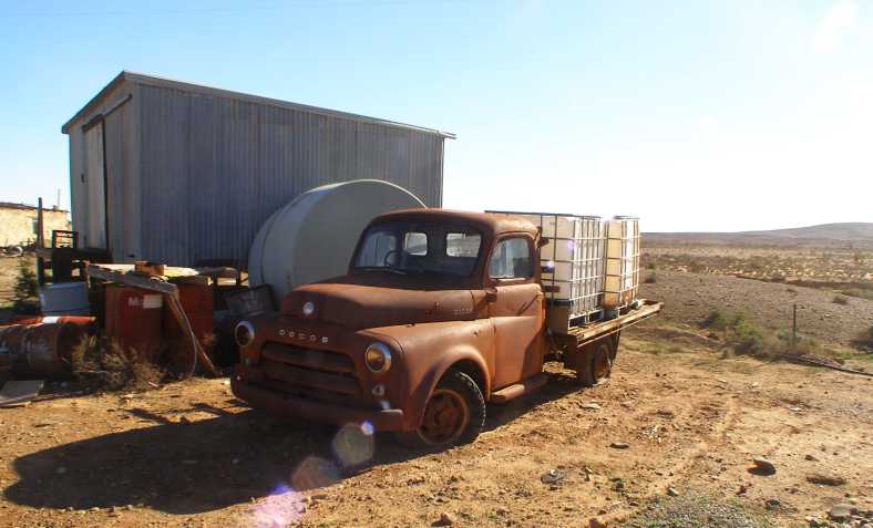
Pilot House Dodge. From the mid-fifties, this could be anything up to a 1959 model and has flathead six power.
…is representative of a large number sold here in the fifties. From ‘53 on they had the one-piece windscreen and, with minor changes to the grille, they continued unchanged until 1959. We never saw the variation with the dog-leg A-pillars or hooded headlights here.
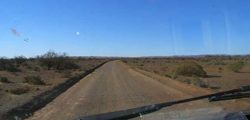
Long driveway. The driveway was well-graded and enabled swift coverage of its 14km/9-mile length.
I kept looking for more driveways but saw nothing until I reached the Beltana Station turnoff. The corner place was once a roadhouse, but the owners retired and closed the business.
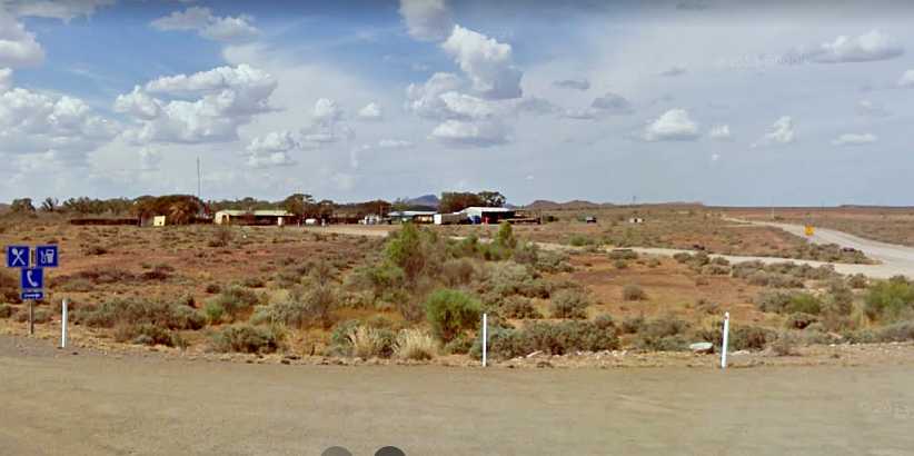
Beltana Roadhouse. This pic is from when the roadhouse was still operating. The gravel track off to the right is the road to Beltana.(GE 2010)
Jan Tarr answered the door here and soon called her husband, Ron, who was the kind of bloke I could get along with easily. He had trucks and other projects there and he took a little interest in my van. I told him about the slipping clutch and mentioned that I had almost everything I needed to change it except for a flat concrete floor and some timber to enable me to get it further off the ground.
After a bit of a further chat I moved along, down that dirt road to Beltana. I wasn’t to find a lot of people there in a place which was well spread-out, with a couple of places on roads which went off in different directions. Finding people here wasn’t easy, I persisted until the day started to go away.
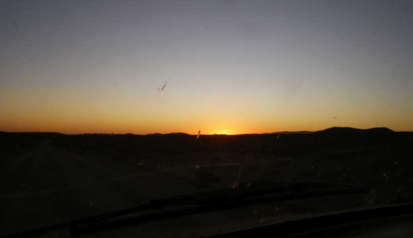
Beltana sunset. As I drove back up the road to the highway I was running into the sunset and thought it worth capturing.
I’d ascertained that there was a caravan park in Leigh Creek, not much further along the Outback Highway, and I headed there. The place was, like the one at Quorn, pretty well packed out. The man looking after the place found a way to squeeze me in and I had a home for the night.
Leigh Creek Caravan Park. The Google Earth car was obviously there in the off-season! The amenities block is in the centre of things while the camp kitchen is the last part of the cabins on the right.
Like all of these places, being squeezed in just means you get to know your neighbours quicker. People on outback trips are all too willing to open up and talk about things – where they’ve been, where they’re going, what they’ve heard and where they come from. I learned from them that the road from Farina through Maree and across to Coober Pedy was in bad shape, so that was some very useful information.
My instructions for the areas I had were fairly simple. The area I’d worked on coming up from Nilpena was, essentially, whoever I could find in the settlements along the highway without going into Leigh Creek. The Leigh Creek area was to be completed within the town. And though I had a starting address in the town, it was to prove meaningless.
In the morning I learned the awful truth about Leigh Creek. There was about 600 homes there, but fewer than 10% of them were occupied!
I drove around all morning looking for the homes which had occupants, which was not hard. But then to find the homes where occupants were home was a bit more difficult, and I’ll explain why shortly.
I did what I felt I could, but I was mindful of the fact that I might have to go a long way that afternoon to get the balance of the questionnaires for the other area placed. About midday I left Leigh Creek and headed North. I soon came to Copley…
Copley Caravan Park. A nice cake shop is part of the caravan park here and it attracted my interest.(GE)
…which grew as the original town for workers at the underground coal mine operating from 1888. It was named after William Copley, a parliamentarian of the time, while Leigh Creek was named for Harry Leigh, who first settled in the area in 1856.
Not that the history of the place was of much interest to me in getting my job done. Nor was this, but I took a moment or two to look it over and get a picture:
Earlier Dodge. The split screen identifies this as older than the one seen at Nilpena, while the tray is longer and the axles rated for bigger loads.
I found a few people here to complete the survey, but the ‘back streets’ of the town showed that I was back in an area where there was problems with children. People keep dogs to keep them out, then they have to have tall fences to keep the dogs in:
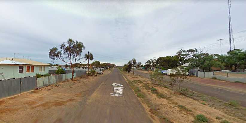
Tall fences. Murray Street is just back from the main road, the high fences line most properties here.(GE)
That wasn’t the only thing to crop up in Copley, however. The remains of an old house, looking like it dated back to well before 1900, was fenced off as if it’s being preserved…
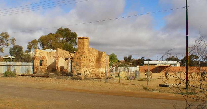
Remnants. This old place seems to have been preserved and shows how so many of the homes in the area were originally built using the abundant local stone.
From there it was on to Lyndhurst, where the Innamincka road heads off to the East. Again I had a struggle finding people, but I was able to note the queue at the unmanned diesel bowser on the side of the road:
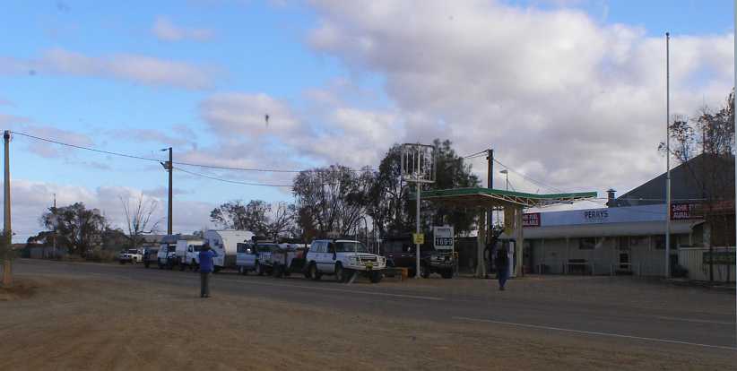
Diesel queue. Most people travelling in these parts are going a long way, and there are few places to fill up, so lines like this may form.
At a couple of places I was told I’d find people at the hotel, so I went in there and found them. It all helped with getting the quota of questionnaires out.
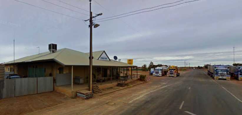
Lyndhurst hotel. As usual, the centre of everything in town, I arranged to pick up a few completed questionnaires here.(GE)
Just out of town there was a track off to the left of the Innamincka road. Here I found an ‘interesting’ Dutchman known as Talc Alf. He told me that talcum used to be mined in quantity here, but he spends his time creating art out of the talcum rock. And, if anyone turns up, he catches up on talking.
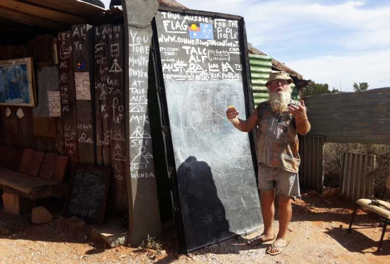
Talc Alf. A real character, a Lyndhurst identity since moving here in 1974 with his new wife.(Hubert Trapp)
It’s fairly safe – and educational – to watch these two clips:
Just near his turnoff there are two signs relating to the Innamincka road:
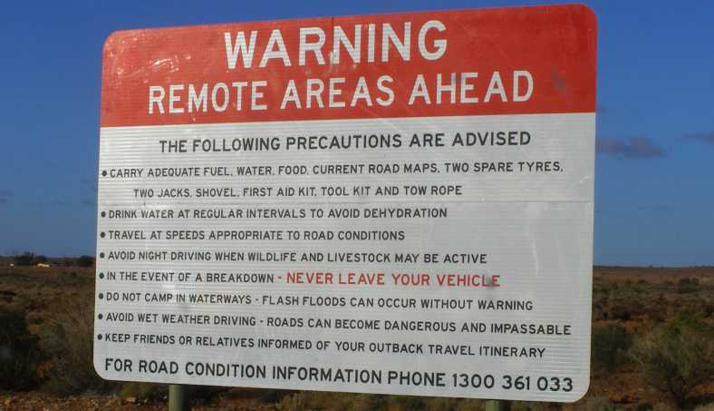
Warning! Things can go wrong and simple steps like these can ensure your safety in such circumstances.
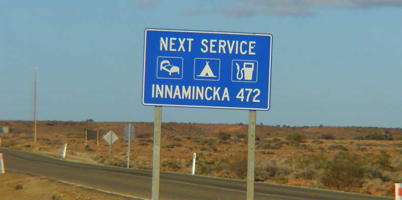
Prepared for the drive? It’s a long way to go without supermarkets or service stations – and the bitumen doesn’t last long.
Having done all I could in Lyndhurst and still not having reached my quota, I headed off for Farina. The road I was travelling was good bitumen and I’d been told that there was a bakery at Farina which was famous among the travellers who frequent this area. But that it’s only open for the tourist season.
The day was getting along now and I reached Farina…
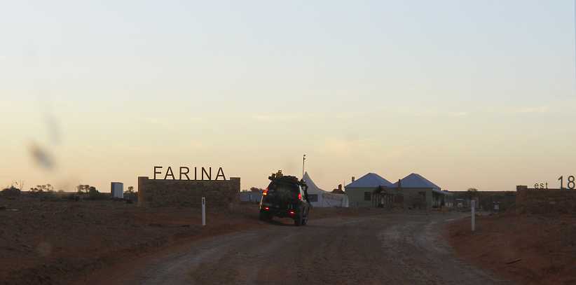 [/url]
Farina near dusk. On a gravel road just off the highway, Farina was easily identified by these signs.
From what I could ascertain, there was only one occupied house here and I was able to place the questionnaire with them. Looking up the history of the place I learned that settlers came here in the 1880s and thought that the seasons they were seeing were normal, with just enough rain to allow the growing of wheat and barley. Large trees growing near the creek helped deceive them.
It became the railhead when the first stage of the railway was built and many Afghans lived here operating the camel trains which were used for transport to Marree (30 miles further on) and beyond before the railway was extended.
I didn’t spend time looking around the various ruins of the old town as I wanted to get back to Leigh Creek before darkness overtook me – and also before it got too late to find a few people at home there and place some more questionnaires. Not to mention ensuring that there was a space for me in that crowded caravan park.
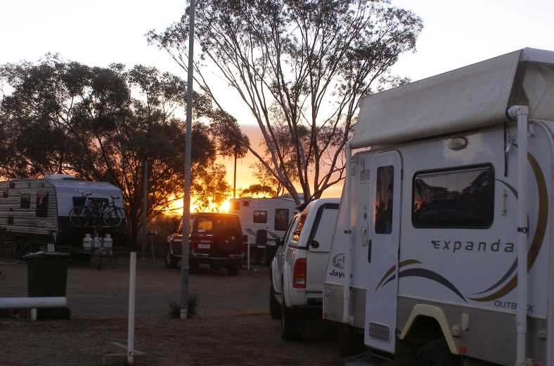
Sunrise among the caravans. The beginnings of another day. Some caravanners stayed a few days, others just overnight.
It was now Thursday and I was due back at Port Pirie for the weekend work on Saturday, I had a number of questionnaires still to place in both areas and an early run back to Copley and Lyndhurst took care of the last of that area. I had Leigh Creek to finish off and I hunted around the place to find people.
Leigh Creek houses. House after house unoccupied, all of them built new in the early eighties.
The circumstances of this town were that it had to be moved as the coal mine was encroaching on the original town, about eight miles to the North. It was owned by the government, as was the coal mine, the railway and the power station which used the coal. They built a whole new town to house the 2,500 people.
Main street. The town was built complete with all amenities, here is the entry to the shopping centre in Black Oak Drive.
Hotmixed streets, kerbing and guttering, concrete footpaths, even bus stops, it was all there, all new.
Shopping centre. A supermarket, a hotel, post office and more is all there, with a small hospital off to the right of this shot.(GE)
And now it’s basically all abandoned as the state has gone with all renewables in power supply. The last load of coal left the mine in 2016.
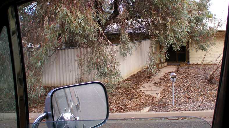
Leafy. This is a common sight, leaves from the trees nurtured when the town was built blown up against fences and houses. In some places tree branches have fallen and are draped over fences.
Those people who remain tend to take some advantage of little things. If you have more cars than you have garages and there’s a vacant garage next door, why not use it? And in meeting the man who does maintenance on the homes when required, He told me that he gets the things he needs from homes currently unused.
So a stove needs replacing, he gets one from another house. A hot water service, even timber from fences when they get damaged by fallen tree branches and so on.
School. Once fully utilised, the school now operates for a small number of children.(GE)
I learned that only people who have viable work in the area are allowed to rent the houses, which are government-owned. This was why it was so hard to find people at home – they all went to work! About 200 homes had already been demolished on the Western side of the town and people were unsure about what might happen in the future.
Many of the caravanners I met spend much of the year on the road and some were hoping that the government would put the houses on the market. Retirees who do this are known here as ‘Grey Nomads’ and they get about in good numbers. They would buy them to use as a base for their travels.
But for my purposes I had to find the people who were living in them now…
Flats. There was a small area devoted to flats and a number of these were in use.(GE)
This was completed, I went back to the caravan park to cook dinner, meet more people and go online. Then Friday I started picking up the ones I’d managed to drop early and went off to Beltana to get the ones I’d placed there – and got a big surprise…
Having completed the packaging of the materials for the completed areas, my next task was to post them away. I ascertained that the postal service from Quorn wasn’t as good as that from Hawker, the next town up the Outback Highway, so I headed for that as my next destination.
Hawker Post Office. General store, liquor store, cafe and post office, this was where I dropped off my packages to go back to the office.
Having had an early breakfast and then spent a bit of time packing and driving, I was thinking about eating again, so I looked around and found yet another little cafe to get a bacon and egg roll to keep me going through the rest of the day. After all, I was now heading out into a part of the country where you couldn’t be sure what services were available, wasn’t I?
So the sun was high in the sky as I drove on the next stretch, with long straights heading directly into the sun. I had about 70 miles to go from Hawker to my destination and I was noting how the hills way off to one side or the other just came and went as I drove…
Heading into the sun. This long straight seemed as though it would reach the hills. But it was deceiving me.
The main feature of this area is the Flinders Ranges, with the famous Wilpena Pound not too far away. But not on this road, here the Flinders kept their place to my right as I headed through flat countryside:
Flinders on the right. That’s the Flinders Ranges there, standing out above the flat country which people have tried to farm for over a hundred years.
I was looking for people living at Nilpena. I would soon learn there wasn’t much at Nilpena. The first sign of life I saw on the way through here was the hotel at Parachilna, then I started looking for my starting address at the point where a road went off to the right to Beltana. But I wasn’t to take that road.
As I drove I noted that the van had reached another milestone…
97,500 miles. A low mileage for a 32-year-old vehicle. It would tick over many more before I got home.
Periodically I would see signs of a railway, at this point to my left. This is now unused, but it was only three years earlier that it had been used for hauling coal out of Leigh Creek’s open-cut mine. Way before that it had been a line which stretched to Alice Springs and had been intended to extend to Darwin. It moved a bit over the years, changed gauges too, with the final use being to transport coal from Leigh Creek to Port Augusta for a major power station there.
Disused.[i] Lots of infrastructure goes unused in places like this as the needs change over decades. Three years before my trip this culvert had seen trains carrying over two million tons of coal each year.[/b]
Ultimately I reached my goal and turned into a driveway. It was a long driveway, with Nilpena Station at the end of it, I found someone home and that was a major success for the moment. I also took a couple of photos:
Nilpena Station homestead. Once again, all stone construction because of the lack of available timbers, this home and shed was a part of a very large sheep station.
I didn’t have the only Dodge there that day, this one…
Pilot House Dodge. From the mid-fifties, this could be anything up to a 1959 model and has flathead six power.
…is representative of a large number sold here in the fifties. From ‘53 on they had the one-piece windscreen and, with minor changes to the grille, they continued unchanged until 1959. We never saw the variation with the dog-leg A-pillars or hooded headlights here.
Long driveway. The driveway was well-graded and enabled swift coverage of its 14km/9-mile length.
I kept looking for more driveways but saw nothing until I reached the Beltana Station turnoff. The corner place was once a roadhouse, but the owners retired and closed the business.
Beltana Roadhouse. This pic is from when the roadhouse was still operating. The gravel track off to the right is the road to Beltana.(GE 2010)
Jan Tarr answered the door here and soon called her husband, Ron, who was the kind of bloke I could get along with easily. He had trucks and other projects there and he took a little interest in my van. I told him about the slipping clutch and mentioned that I had almost everything I needed to change it except for a flat concrete floor and some timber to enable me to get it further off the ground.
After a bit of a further chat I moved along, down that dirt road to Beltana. I wasn’t to find a lot of people there in a place which was well spread-out, with a couple of places on roads which went off in different directions. Finding people here wasn’t easy, I persisted until the day started to go away.
Beltana sunset. As I drove back up the road to the highway I was running into the sunset and thought it worth capturing.
I’d ascertained that there was a caravan park in Leigh Creek, not much further along the Outback Highway, and I headed there. The place was, like the one at Quorn, pretty well packed out. The man looking after the place found a way to squeeze me in and I had a home for the night.
Leigh Creek Caravan Park. The Google Earth car was obviously there in the off-season! The amenities block is in the centre of things while the camp kitchen is the last part of the cabins on the right.
Like all of these places, being squeezed in just means you get to know your neighbours quicker. People on outback trips are all too willing to open up and talk about things – where they’ve been, where they’re going, what they’ve heard and where they come from. I learned from them that the road from Farina through Maree and across to Coober Pedy was in bad shape, so that was some very useful information.
My instructions for the areas I had were fairly simple. The area I’d worked on coming up from Nilpena was, essentially, whoever I could find in the settlements along the highway without going into Leigh Creek. The Leigh Creek area was to be completed within the town. And though I had a starting address in the town, it was to prove meaningless.
In the morning I learned the awful truth about Leigh Creek. There was about 600 homes there, but fewer than 10% of them were occupied!
I drove around all morning looking for the homes which had occupants, which was not hard. But then to find the homes where occupants were home was a bit more difficult, and I’ll explain why shortly.
I did what I felt I could, but I was mindful of the fact that I might have to go a long way that afternoon to get the balance of the questionnaires for the other area placed. About midday I left Leigh Creek and headed North. I soon came to Copley…
Copley Caravan Park. A nice cake shop is part of the caravan park here and it attracted my interest.(GE)
…which grew as the original town for workers at the underground coal mine operating from 1888. It was named after William Copley, a parliamentarian of the time, while Leigh Creek was named for Harry Leigh, who first settled in the area in 1856.
Not that the history of the place was of much interest to me in getting my job done. Nor was this, but I took a moment or two to look it over and get a picture:
Earlier Dodge. The split screen identifies this as older than the one seen at Nilpena, while the tray is longer and the axles rated for bigger loads.
I found a few people here to complete the survey, but the ‘back streets’ of the town showed that I was back in an area where there was problems with children. People keep dogs to keep them out, then they have to have tall fences to keep the dogs in:
Tall fences. Murray Street is just back from the main road, the high fences line most properties here.(GE)
That wasn’t the only thing to crop up in Copley, however. The remains of an old house, looking like it dated back to well before 1900, was fenced off as if it’s being preserved…
Remnants. This old place seems to have been preserved and shows how so many of the homes in the area were originally built using the abundant local stone.
From there it was on to Lyndhurst, where the Innamincka road heads off to the East. Again I had a struggle finding people, but I was able to note the queue at the unmanned diesel bowser on the side of the road:
Diesel queue. Most people travelling in these parts are going a long way, and there are few places to fill up, so lines like this may form.
At a couple of places I was told I’d find people at the hotel, so I went in there and found them. It all helped with getting the quota of questionnaires out.
Lyndhurst hotel. As usual, the centre of everything in town, I arranged to pick up a few completed questionnaires here.(GE)
Just out of town there was a track off to the left of the Innamincka road. Here I found an ‘interesting’ Dutchman known as Talc Alf. He told me that talcum used to be mined in quantity here, but he spends his time creating art out of the talcum rock. And, if anyone turns up, he catches up on talking.
Talc Alf. A real character, a Lyndhurst identity since moving here in 1974 with his new wife.(Hubert Trapp)
It’s fairly safe – and educational – to watch these two clips:
Just near his turnoff there are two signs relating to the Innamincka road:
Warning! Things can go wrong and simple steps like these can ensure your safety in such circumstances.
Prepared for the drive? It’s a long way to go without supermarkets or service stations – and the bitumen doesn’t last long.
Having done all I could in Lyndhurst and still not having reached my quota, I headed off for Farina. The road I was travelling was good bitumen and I’d been told that there was a bakery at Farina which was famous among the travellers who frequent this area. But that it’s only open for the tourist season.
The day was getting along now and I reached Farina…
[/url]Farina near dusk. On a gravel road just off the highway, Farina was easily identified by these signs.
From what I could ascertain, there was only one occupied house here and I was able to place the questionnaire with them. Looking up the history of the place I learned that settlers came here in the 1880s and thought that the seasons they were seeing were normal, with just enough rain to allow the growing of wheat and barley. Large trees growing near the creek helped deceive them.
It became the railhead when the first stage of the railway was built and many Afghans lived here operating the camel trains which were used for transport to Marree (30 miles further on) and beyond before the railway was extended.
I didn’t spend time looking around the various ruins of the old town as I wanted to get back to Leigh Creek before darkness overtook me – and also before it got too late to find a few people at home there and place some more questionnaires. Not to mention ensuring that there was a space for me in that crowded caravan park.
Sunrise among the caravans. The beginnings of another day. Some caravanners stayed a few days, others just overnight.
It was now Thursday and I was due back at Port Pirie for the weekend work on Saturday, I had a number of questionnaires still to place in both areas and an early run back to Copley and Lyndhurst took care of the last of that area. I had Leigh Creek to finish off and I hunted around the place to find people.
Leigh Creek houses. House after house unoccupied, all of them built new in the early eighties.
The circumstances of this town were that it had to be moved as the coal mine was encroaching on the original town, about eight miles to the North. It was owned by the government, as was the coal mine, the railway and the power station which used the coal. They built a whole new town to house the 2,500 people.
Main street. The town was built complete with all amenities, here is the entry to the shopping centre in Black Oak Drive.
Hotmixed streets, kerbing and guttering, concrete footpaths, even bus stops, it was all there, all new.
Shopping centre. A supermarket, a hotel, post office and more is all there, with a small hospital off to the right of this shot.(GE)
And now it’s basically all abandoned as the state has gone with all renewables in power supply. The last load of coal left the mine in 2016.
Leafy. This is a common sight, leaves from the trees nurtured when the town was built blown up against fences and houses. In some places tree branches have fallen and are draped over fences.
Those people who remain tend to take some advantage of little things. If you have more cars than you have garages and there’s a vacant garage next door, why not use it? And in meeting the man who does maintenance on the homes when required, He told me that he gets the things he needs from homes currently unused.
So a stove needs replacing, he gets one from another house. A hot water service, even timber from fences when they get damaged by fallen tree branches and so on.
School. Once fully utilised, the school now operates for a small number of children.(GE)
I learned that only people who have viable work in the area are allowed to rent the houses, which are government-owned. This was why it was so hard to find people at home – they all went to work! About 200 homes had already been demolished on the Western side of the town and people were unsure about what might happen in the future.
Many of the caravanners I met spend much of the year on the road and some were hoping that the government would put the houses on the market. Retirees who do this are known here as ‘Grey Nomads’ and they get about in good numbers. They would buy them to use as a base for their travels.
But for my purposes I had to find the people who were living in them now…
Flats. There was a small area devoted to flats and a number of these were in use.(GE)
This was completed, I went back to the caravan park to cook dinner, meet more people and go online. Then Friday I started picking up the ones I’d managed to drop early and went off to Beltana to get the ones I’d placed there – and got a big surprise…
Last edited by Ray Bell; Jan 1, 2021 at 05:02 PM.
Thread Starter
|
Captain
Joined: Oct 2005
Posts: 568
Likes: 8
From: The Summit, Queensland, Australia
I quickly got around to find the remaining ones I needed to find in Leigh Creek on Friday morning, then set off and found the ones I needed in Copley and Lyndhurst. I’d now be travelling back down the Outback Highway towards Port Augusta, where I was scheduled to work for the weekend, but stopping in Beltana to pick up completed questionnaires I hoped would be awaiting me.
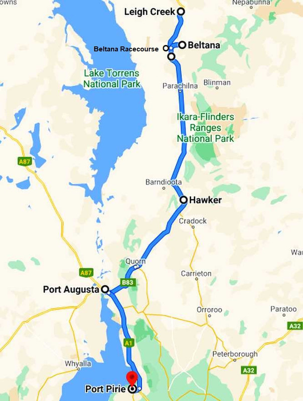
I found the people I needed at Copley and Lyndhurst, telling them all I’d be back the following Monday or Tuesday to pick them up. My schedule was falling into place.
A long and high rail bridge just South of Leigh Creek was awaiting the attention of my camera, too, so I stopped and got a shot of it. The road here would occasionally (but rarely) get flooded and the other significant thing I want to show here is how the large trees grow in the watercourse rather than beside it as seen elsewhere:
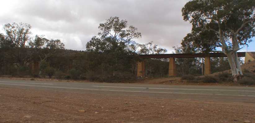
No trains. The railway bridge stands firm, ready for trains that will quite likely never run again.
The kilometres quickly slipped by with distant views of the Flinders Ranges showing up the patches of shadow and sunshine under the dotted clouds in the sky…
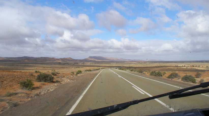
Shadow and sunshine. The clouds create a mottled shadow pattern on the Flinders vista.
…and soon I was at my first call, the roadhouse where Ron and Jan Tarr had been so welcoming a few days earlier. Ron handed me the completed questionnaire in its sealed envelope and we engaged in conversation.
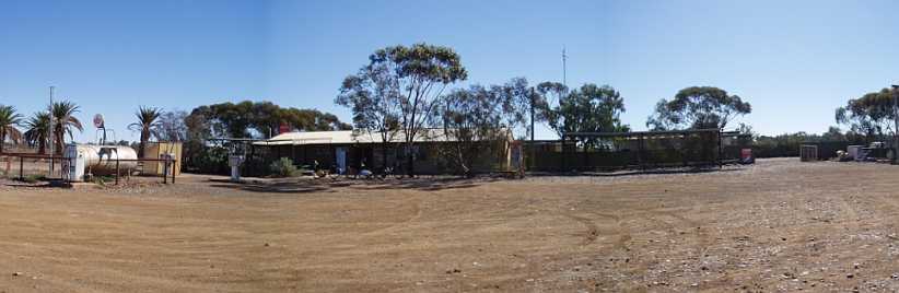
Ron’s roadhouse. There are inactive fuel bowsers still in place and many other remnants of years in business, but now it’s just a home in the outback.
“How’s the clutch going?” he asked, to my surprise. I responded by saying it was no better. “You can fix that here, you know,” Ron told me. And quickly he corrected himself, “Well, over there…” he said, pointing across the highway.
Ron explained to me that it was the racecourse and he had the keys, nobody used it any more and there was a good concrete floor in the shed I could see. “And if there’s any gear you need, I can lend it to you,” he continued.
I was absolutely floored by this turn of events and I told him I’d get back to have a look after I’d been down to Beltana and got around the places I had to go to do pickups and thanked him for his kind offer.
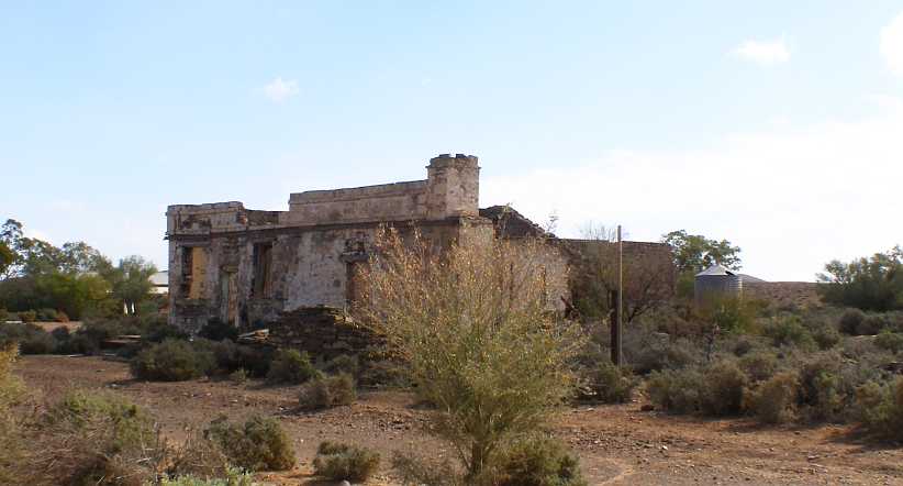
Beltana General Store. Or so the tourist sign said, obviously looking back to a time in the past when many people lived here.
Beltana had few residents and lots of places where people used to live, some ten years ago, most early in the Twentieth Century. It spread out over a wide area, the first calls I made being on a small encampment (four or five houses in a bunch just out of town) where an extended Aboriginal family lived. Driving up onto the hill, past more remnants of homes long gone…
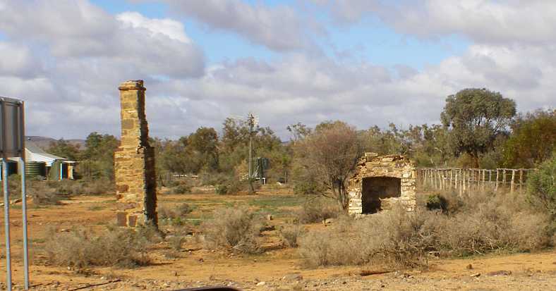
Fireplaces. Somebody’s energies were spent building a home here, today just this remains.
…I found another completed questionnaire and then turned around to descend to the flat area…
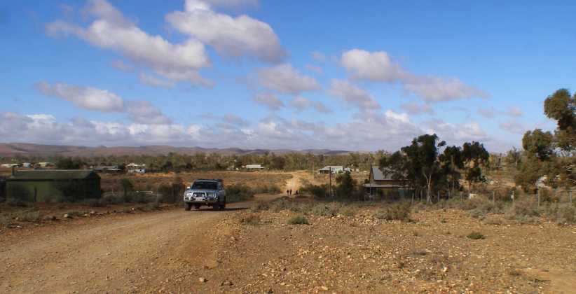
From the hill. Most of the occupied homes of Beltana are in this shot, many of the empty spaces once had others.
…and picked up a couple more, while one bloke was away and I’d have to come back the following week. This is how this job works, we were allowed up to three trips back to do pickups.
A little way out of town I’d found another home, and beside it was the original railway station, a station built for the first of the railways which ran through here, the 3’6” gauge line of the 1880s.
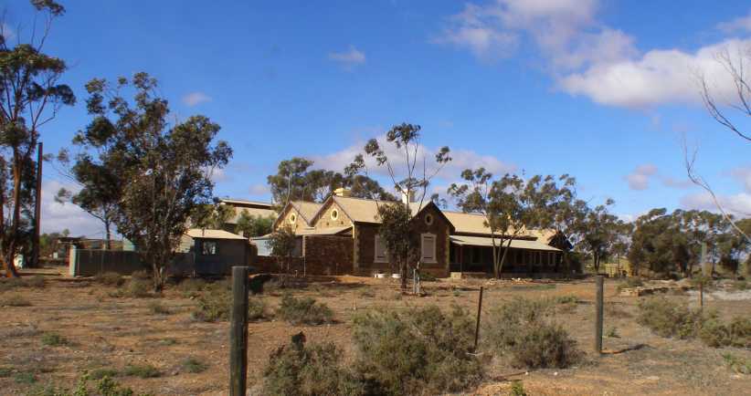
Beltana Railway Station.[/i] A substantial stone building which served as a station from 1881 to 1956, then was the General Store for the town from 1969 to 1984. Behind the station building can be seen a large building which was no doubt to do with freight on the rail.[/i]
The famous train which came through here was ‘The Ghan’, running from Adelaide to Alice Springs. Named for the significant contribution of Afghan people to the area prior to the rail’s presence, having been brought to Australia to manage camel trains.
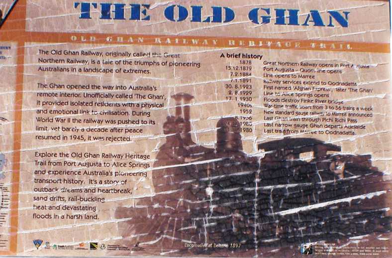
Ghan information. This sign explained most of the history of the railway which once wended its way North through Beltana.
This is all forgotten now as the main line to Alice Springs, and then on to Darwin, runs further to the West, the other side of Lake Torrens.
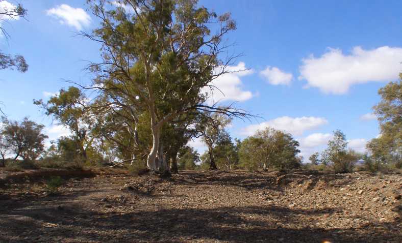
Trees in creek. Another example of how the trees all grow in the creeks, this between the station and Beltana.
Further remnants of times gone by were around. Climbing out of Beltana back towards Ron’s place there is a tourist sign pointing to an old bore and tank.
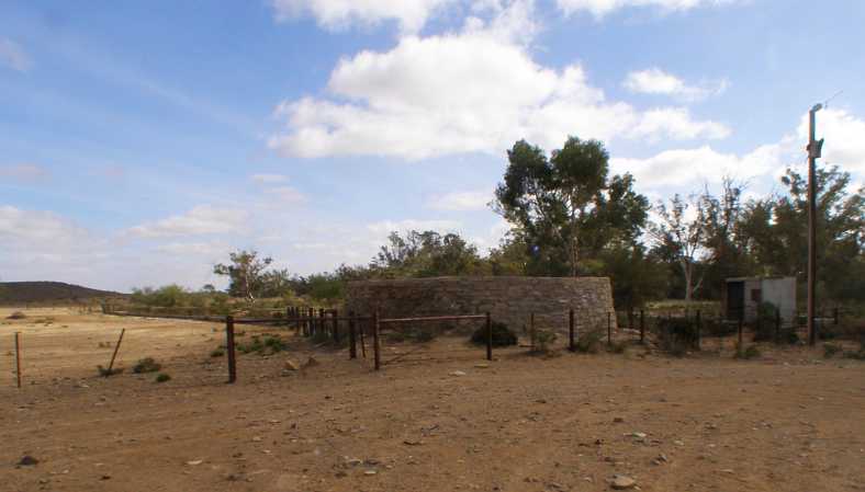
Bore and tank. At some time electricity’s been added here, but the bore was said to have dated back to Afghan times and the stone tank construction adds to that picture.
Thirsty animals would have come running to these when the water flowed into them:
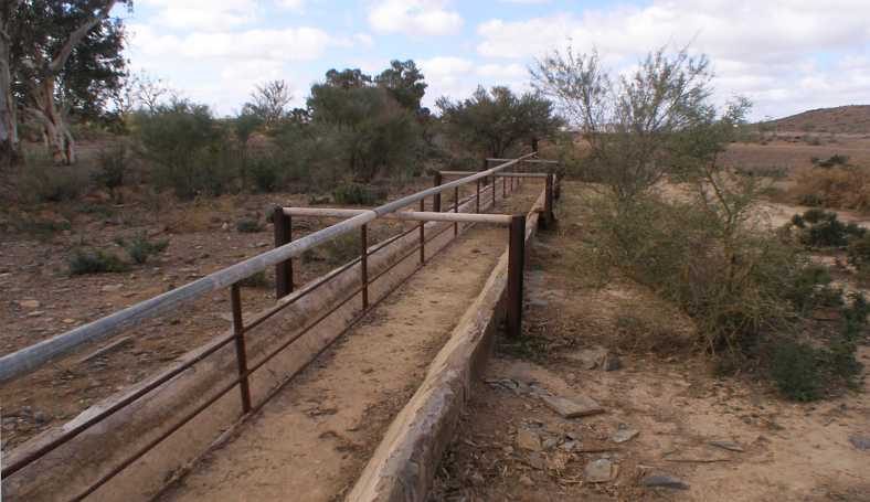
Drinking troughs. No doubt improved since first constructed, these show that farmers in the area rely on the bores. The old camel trains would have too.
I continued the climb back to the highway and Ron gave me the key to the racecourse gate. I drove into the ‘shed’, which was actually the bar and eating area, and found a perfect concrete floor. Outside there was a pile of old railway sleepers I could use, too, and Ron explained to me how I could turn on the power.
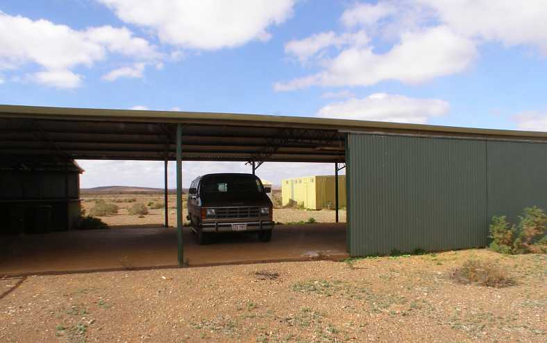
Van in the shed. Just perfect for the job I had ahead of me, you can see here the counter where people were served lunches and in the background there’s the toilets.
So everything was pretty up-beat as I drove off towards Port Augusta in the mid-afternoon. I’d seen a number of old ‘ruins’ on the way up from Quorn and now I had time to get some pictures of some of them.
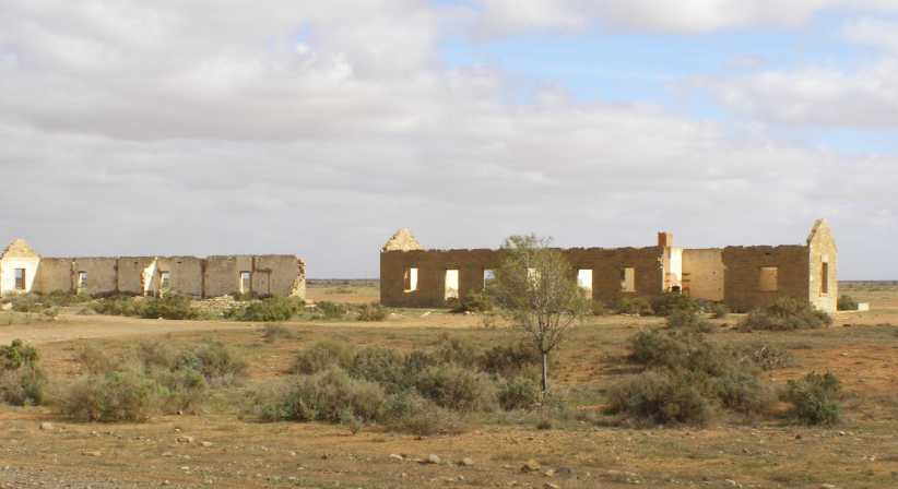
Workers’ quarters? These stone walls indicate separate rooms, presumably for quarters for workers on a farm.
But I still had to keep the van running. The mileage had just ticked over 97,777 when I found I’d emptied the fuel tank. I notice that I got a shot of the odometer at 77,777 miles during my second trip around America. That was as I crossed Louisiana so I’d now done 20,000 miles since then.
But back to my fuel situation. I’d filled the tank near Port Pirie and had passed the 97,500 mile mark somewhere around Parachilna – so I’d done about 550 miles on the tankful.
I got out to refuel from one of my five gallon drums and found these at my feet:
Rusty pliers? Quite a surprise finding these just lying there on the ground. I wondered if they’d belonged to someone doing some fencing many years ago.
With fuel in the tank again I next paused to take photos of this house:
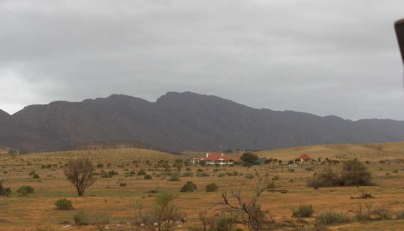
Station homestead. One of very few occupied homes which can be seen from the road in this long stretch, this home must be sitting on thousands of acres.
The sky was getting progressively more threatening as I headed South, while the insects on the windscreen were increasing in number too…
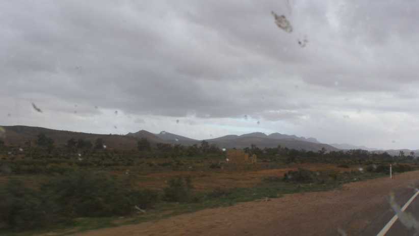
Ranges and rain. The Flinders Rangers were still there while the clouds became more solidly bunched and blue sky harder to find.
What appeared to have been a well-built house came up on the left, too:
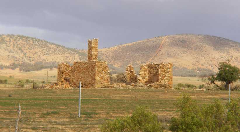
Broken dreams. The effort which has gone into this place indicates a belief that it would be needed for a long time. Droughts take care of dreams like that.
The railway invested in housing too, as they needed to keep men on the job to run things smoothly. This place incorporates both bricks and stone:
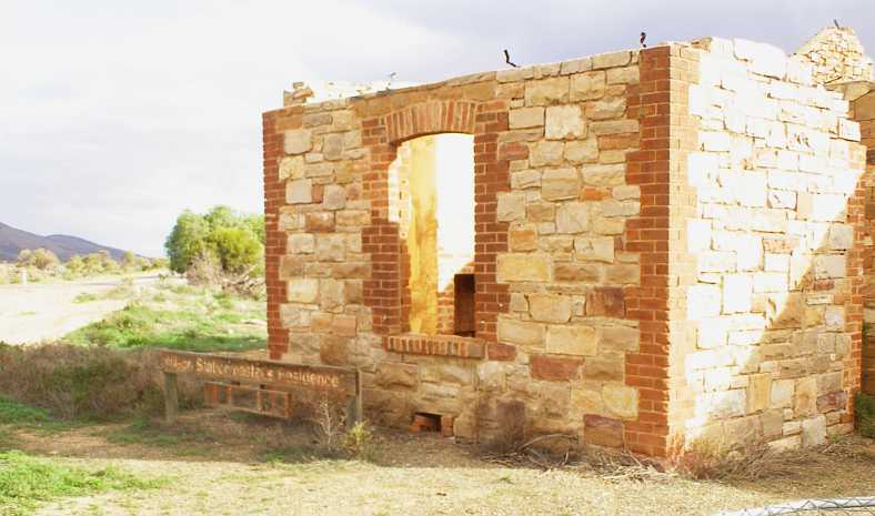
Wilson stationmaster’s home. A nice house for a key man, presumably dating from the 1880s.
The stone and brickwork has certainly stood the test of time, as shown in this view from the rear:
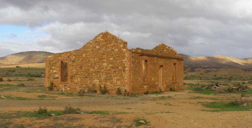
Rear view. Not many of these old places still have all the stone walls intact. Do the bricked corners help? Or was it just better-built?
Bricks were also used to line the well out the front:
Wilson well. Professionally built to stand the test of time, but these days it appears that some think it’s a rubbish bin.
After Hawker there was greener scenery, and the railway line there is still active on an occasional basis as a tourist attraction. Some greenery, some hills and a change of scenery were all welcome.
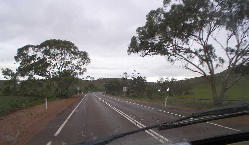
Into some hills. A nice change from flat desert running, the green and the hills as well as some bends made for more interesting driving.
This increased somewhat after Quorn, where there are several railway crossings. Some are level crossings, a couple are bridges like this one:
Rail bridge. This rail underpass is followed by a shallow concrete dip which obviously can flood from time to time. My pic was lousy due to rain spots on the screen so I have this one from Street View.(GE)
Yes, I’d struck a bit of rain as my drive neared its end. Thus my shot of sighting the top of Spencer Gulf is compromised by both raindrops and dead insects on the screen. Note, though, the sun shining on what looks like a tall white pillar in the distance towards the left side of the pic.
Rain and the gulf. Knowing that my goal for the day isn’t far away pleased me – I wasn’t going to be driving at night.
That ‘pillar’ is the centrepiece of the ‘Solar Thermal’ setup which has replaced the coal-fired power station at Port Augusta. ‘Solar thermal’? Here’s an explanation:
The people managing the project apparently went bust and hundreds of jobs in Port Augusta were in jeopardy for some time. But not the jobs of the blokes at Auto One on the highway just before town:
Auto One. I reckoned that if I was taking the tailshaft out to change the clutch, I might best renew the rear universal too. So I slipped in here to buy one.
While I’d be working this weekend at Port Pirie, there was a big football match on there and so all the local accommodation was taken up. Hence my accommodation was booked at Port Augusta – about 55 miles from Port Pirie – and I’d be driving there and back each day.
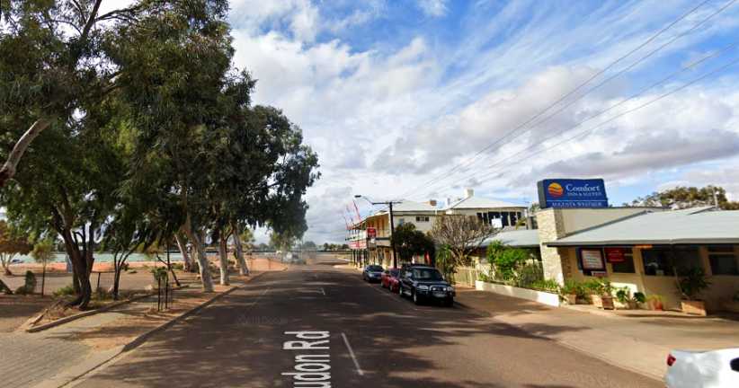
Comfort Inn Westside. This would be home for three nights. Settling in would not be too hard at all.
I now had just one week to get to Alice Springs. I had a couple of days of work to do 55 miles to my South, all those pickups to do and the clutch change to effect out where I’d just been and I’d worked out that I’d be better off returning to Port Augusta after finishing that and that would leave me with about 750 miles to drive to get to Alice Springs, hoping to have time to go to the Lambert Centre and Ayers Rock on the way.
It wasn’t going to be easy…
I found the people I needed at Copley and Lyndhurst, telling them all I’d be back the following Monday or Tuesday to pick them up. My schedule was falling into place.
A long and high rail bridge just South of Leigh Creek was awaiting the attention of my camera, too, so I stopped and got a shot of it. The road here would occasionally (but rarely) get flooded and the other significant thing I want to show here is how the large trees grow in the watercourse rather than beside it as seen elsewhere:
No trains. The railway bridge stands firm, ready for trains that will quite likely never run again.
The kilometres quickly slipped by with distant views of the Flinders Ranges showing up the patches of shadow and sunshine under the dotted clouds in the sky…
Shadow and sunshine. The clouds create a mottled shadow pattern on the Flinders vista.
…and soon I was at my first call, the roadhouse where Ron and Jan Tarr had been so welcoming a few days earlier. Ron handed me the completed questionnaire in its sealed envelope and we engaged in conversation.
Ron’s roadhouse. There are inactive fuel bowsers still in place and many other remnants of years in business, but now it’s just a home in the outback.
“How’s the clutch going?” he asked, to my surprise. I responded by saying it was no better. “You can fix that here, you know,” Ron told me. And quickly he corrected himself, “Well, over there…” he said, pointing across the highway.
Ron explained to me that it was the racecourse and he had the keys, nobody used it any more and there was a good concrete floor in the shed I could see. “And if there’s any gear you need, I can lend it to you,” he continued.
I was absolutely floored by this turn of events and I told him I’d get back to have a look after I’d been down to Beltana and got around the places I had to go to do pickups and thanked him for his kind offer.
Beltana General Store. Or so the tourist sign said, obviously looking back to a time in the past when many people lived here.
Beltana had few residents and lots of places where people used to live, some ten years ago, most early in the Twentieth Century. It spread out over a wide area, the first calls I made being on a small encampment (four or five houses in a bunch just out of town) where an extended Aboriginal family lived. Driving up onto the hill, past more remnants of homes long gone…
Fireplaces. Somebody’s energies were spent building a home here, today just this remains.
…I found another completed questionnaire and then turned around to descend to the flat area…
From the hill. Most of the occupied homes of Beltana are in this shot, many of the empty spaces once had others.
…and picked up a couple more, while one bloke was away and I’d have to come back the following week. This is how this job works, we were allowed up to three trips back to do pickups.
A little way out of town I’d found another home, and beside it was the original railway station, a station built for the first of the railways which ran through here, the 3’6” gauge line of the 1880s.
Beltana Railway Station.[/i] A substantial stone building which served as a station from 1881 to 1956, then was the General Store for the town from 1969 to 1984. Behind the station building can be seen a large building which was no doubt to do with freight on the rail.[/i]
The famous train which came through here was ‘The Ghan’, running from Adelaide to Alice Springs. Named for the significant contribution of Afghan people to the area prior to the rail’s presence, having been brought to Australia to manage camel trains.
Ghan information. This sign explained most of the history of the railway which once wended its way North through Beltana.
This is all forgotten now as the main line to Alice Springs, and then on to Darwin, runs further to the West, the other side of Lake Torrens.
Trees in creek. Another example of how the trees all grow in the creeks, this between the station and Beltana.
Further remnants of times gone by were around. Climbing out of Beltana back towards Ron’s place there is a tourist sign pointing to an old bore and tank.
Bore and tank. At some time electricity’s been added here, but the bore was said to have dated back to Afghan times and the stone tank construction adds to that picture.
Thirsty animals would have come running to these when the water flowed into them:
Drinking troughs. No doubt improved since first constructed, these show that farmers in the area rely on the bores. The old camel trains would have too.
I continued the climb back to the highway and Ron gave me the key to the racecourse gate. I drove into the ‘shed’, which was actually the bar and eating area, and found a perfect concrete floor. Outside there was a pile of old railway sleepers I could use, too, and Ron explained to me how I could turn on the power.
Van in the shed. Just perfect for the job I had ahead of me, you can see here the counter where people were served lunches and in the background there’s the toilets.
So everything was pretty up-beat as I drove off towards Port Augusta in the mid-afternoon. I’d seen a number of old ‘ruins’ on the way up from Quorn and now I had time to get some pictures of some of them.
Workers’ quarters? These stone walls indicate separate rooms, presumably for quarters for workers on a farm.
But I still had to keep the van running. The mileage had just ticked over 97,777 when I found I’d emptied the fuel tank. I notice that I got a shot of the odometer at 77,777 miles during my second trip around America. That was as I crossed Louisiana so I’d now done 20,000 miles since then.
But back to my fuel situation. I’d filled the tank near Port Pirie and had passed the 97,500 mile mark somewhere around Parachilna – so I’d done about 550 miles on the tankful.
I got out to refuel from one of my five gallon drums and found these at my feet:
Rusty pliers? Quite a surprise finding these just lying there on the ground. I wondered if they’d belonged to someone doing some fencing many years ago.
With fuel in the tank again I next paused to take photos of this house:
Station homestead. One of very few occupied homes which can be seen from the road in this long stretch, this home must be sitting on thousands of acres.
The sky was getting progressively more threatening as I headed South, while the insects on the windscreen were increasing in number too…
Ranges and rain. The Flinders Rangers were still there while the clouds became more solidly bunched and blue sky harder to find.
What appeared to have been a well-built house came up on the left, too:
Broken dreams. The effort which has gone into this place indicates a belief that it would be needed for a long time. Droughts take care of dreams like that.
The railway invested in housing too, as they needed to keep men on the job to run things smoothly. This place incorporates both bricks and stone:
Wilson stationmaster’s home. A nice house for a key man, presumably dating from the 1880s.
The stone and brickwork has certainly stood the test of time, as shown in this view from the rear:
Rear view. Not many of these old places still have all the stone walls intact. Do the bricked corners help? Or was it just better-built?
Bricks were also used to line the well out the front:
Wilson well. Professionally built to stand the test of time, but these days it appears that some think it’s a rubbish bin.
After Hawker there was greener scenery, and the railway line there is still active on an occasional basis as a tourist attraction. Some greenery, some hills and a change of scenery were all welcome.
Into some hills. A nice change from flat desert running, the green and the hills as well as some bends made for more interesting driving.
This increased somewhat after Quorn, where there are several railway crossings. Some are level crossings, a couple are bridges like this one:
Rail bridge. This rail underpass is followed by a shallow concrete dip which obviously can flood from time to time. My pic was lousy due to rain spots on the screen so I have this one from Street View.(GE)
Yes, I’d struck a bit of rain as my drive neared its end. Thus my shot of sighting the top of Spencer Gulf is compromised by both raindrops and dead insects on the screen. Note, though, the sun shining on what looks like a tall white pillar in the distance towards the left side of the pic.
Rain and the gulf. Knowing that my goal for the day isn’t far away pleased me – I wasn’t going to be driving at night.
That ‘pillar’ is the centrepiece of the ‘Solar Thermal’ setup which has replaced the coal-fired power station at Port Augusta. ‘Solar thermal’? Here’s an explanation:
Solar thermal works by reflecting sunlight off thousands of mirrors (heliostats) onto a central receiver at the top of a tower. The energy is used to heat a molten salt that can then generate steam to drive a turbine. The salt can also be stored to provide eight hours of electricity at full load after sunset.
Auto One. I reckoned that if I was taking the tailshaft out to change the clutch, I might best renew the rear universal too. So I slipped in here to buy one.
While I’d be working this weekend at Port Pirie, there was a big football match on there and so all the local accommodation was taken up. Hence my accommodation was booked at Port Augusta – about 55 miles from Port Pirie – and I’d be driving there and back each day.
Comfort Inn Westside. This would be home for three nights. Settling in would not be too hard at all.
I now had just one week to get to Alice Springs. I had a couple of days of work to do 55 miles to my South, all those pickups to do and the clutch change to effect out where I’d just been and I’d worked out that I’d be better off returning to Port Augusta after finishing that and that would leave me with about 750 miles to drive to get to Alice Springs, hoping to have time to go to the Lambert Centre and Ayers Rock on the way.
It wasn’t going to be easy…
Last edited by Ray Bell; Jan 3, 2021 at 07:41 PM.

